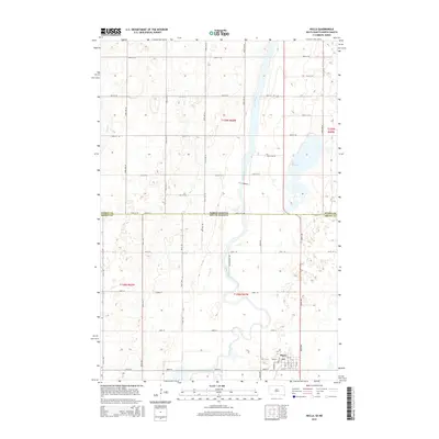
2015 Map of Hecla
USGS Topo · Published 2015About this map
Hecla serves as the primary center of activity in this 2015 survey, situated in the plains of Brown County near the state line. The James River meanders through the central corridor of the quadrangle, defining the hydrology of the region alongside Hyatt Slough and Dry Run. The settlement of Hecla is meticulously detailed with its street grid, including Main St, Elm St, and Ash St, along with the location of the local Po. The surrounding landscape is dominated by a precise section-line road network, such as 104th St and 404th Ave, which highlights the enduring agrarian structure of the area where North Dakota and South Dakota meet. This map is an essential resource for understanding the contemporary geography of these borderland townships, from the wetlands of the slough to the residential heart of the town.
Find a feature on this map
48 named features on this map. Tap any name to fly to it.
Don’t see what you’re looking for? This feature index may not catch every label — zoom into the map to look around manually.
Map Details
Editions of this 2015 Hecla Map
This is the sole edition of this map. No revisions or reprints were ever made.
Other maps of this area

1894 · Hecla
USGS Topo · 1:62,500

1894 · Savo
USGS Topo · 1:62,500

1894 · Fullerton
USGS Topo · 1:62,500

1894 · Oakes
USGS Topo · 1:62,500

1895 · Lamoure
USGS Topo · 1:125,000

1896 · Columbia
USGS Topo · 1:125,000

1918 · La Moure
USGS Topo · 1:125,000

1953 · Jamestown
USGS Topo · 1:250,000

1953 · Hecla SE
USGS Topo · 1:24,000

1953 · Houghton
USGS Topo · 1:24,000