Old Maps of Grandview, South Dakota for Academic Research
Study the evolution of Grandview with 11 high-resolution historic maps. Whether you're teaching, researching, or modeling changes in land use, these maps provide essential visual documentation of urban, environmental, and geographic change.
- Analyze long-term change: Track patterns in development, transportation, and natural features.
- Ideal for environmental or urban studies: Support academic projects with primary historical map data.
- Use in the classroom or lab: Educators and researchers rely on these maps to bring historical context to life.
These maps are a powerful tool for teaching, research, and visualizing how Grandview has changed over the decades.
Grandview, SD maps
(11)- 1940 Map of Iona, 1958 Print
 1940 Iona1958 Print · USGSIn the early 1940s, the Missouri and White Rivers shaped life across South Dakota's Lyman and Brule counties. Genealogists can trace nearly twenty rural schoolhouses and cemeteries like Iona Cem, alongside landmarks such as Twilight Butte and the settlement of Iona.
 - 1944 Map of Iona
 1944 Iona1944 Print · USGSLyman County in the early 1940s reveals a landscape of isolated homesteads and river-bottom farms along the Missouri River. Genealogists and local historians can trace family roots through numerous country schools like Cable Sch and markers such as Iona Cem and Peterson.2 unique versions available
 - 1955 Map of Mitchell, 1973 Print
 1955 Mitchell1973 Print · USGSThe Missouri River valley undergoes a massive transformation in the mid-1950s as the Fort Randall Dam creates Lake Francis Case. You can trace the rail lines of the Chicago Milwaukee St Paul and Pacific through Mitchell or locate local landmarks like Butler Town Hall.2 unique versions available
 - 1959 Map of Mitchell
 1959 Mitchell1959 Print · USGSSouth Dakota’s river and rail corridors come alive in the late fifties as the Missouri River valley undergoes dramatic change. Genealogists and historians can trace family roots through numerous small towns and schools such as Academy, Stickney, and Gregory.2 unique versions available
 - 1974 Map of Red Lake West, 1977 Print
 1974 Red Lake West1977 Print · USGSBrule and Lyman Counties are captured in the mid-seventies, showing the Missouri River's transformation into the massive Lake Francis Case. Researchers can locate family landmarks like Grandview Cem and trace the course of Reimer Creek toward the reservoir.
 - 1986 Map of Chamberlain
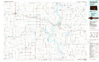 1986 Chamberlain1986 Print · USGSCentral South Dakota during the mid-eighties shows a landscape shaped by the Missouri River and the rise of Interstate 90. Researchers can trace the development of river towns like Chamberlain and Oacoma or locate remote landmarks like Bijou Hills and Hamill.2 unique versions available
 - 1990 Map of Mitchell, 1991 Print
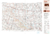 1990 Mitchell1991 Print · USGSThe Missouri River and the surrounding South Dakota plains are captured here in the early nineties, showing a landscape shaped by water and wire. Genealogists and historians can trace the gridded townships from Mitchell to the Bijou Hills, locating sites like the Platte Colony and Academy.
 - 2012 Map of Red Lake West, 2012 Print
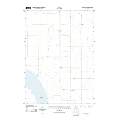 2012 Red Lake West2012 Print · USGSThe Missouri River breaks the prairie landscape of Brule County in the early twenty-first century. Genealogists and local historians can locate the Grandview Cem near the Grandview settlement and trace the shoreline of Lake Francis Case past Bailey Island.
 - 2015 Map of Red Lake West, 2015 Print
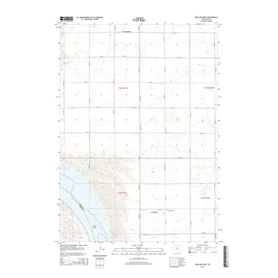 2015 Red Lake West2015 Print · USGSBrule County's river bluffs and prairie uplands are captured here in the mid-2010s, showing the intersection of the Missouri River and agricultural section lines. Genealogists and local historians can locate the Grandview Cem and trace the original shoreline near Bailey Island.
 - 2017 Map of Red Lake West, 2017 Print
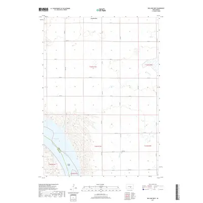 2017 Red Lake West2017 Print · USGSBrule County in the late 2010s reveals a landscape shaped by the Missouri River valley and a strict agricultural grid. Researchers can locate the Grandview Cem and trace the shores of Lake Francis Case near the southern edge of Chamberlain.
 - 2021 Map of Red Lake West, 2021 Print
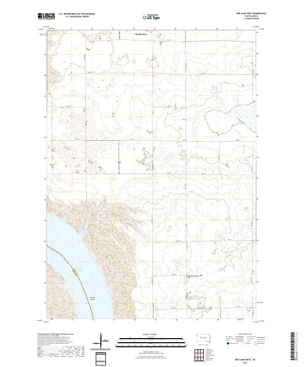 2021 Red Lake West2021 Print · USGSThe Missouri River breaks of South Dakota are captured here in the early twenty-first century, showing the intersection of prairie agriculture and river valley terrain. Researchers can trace the shoreline of Lake Francis Case and the southern outskirts of Chamberlain.
End of results
Showing maps 1-11 of 11
Top cities near Grandview
- Chamberlain historical maps
- Oacoma historical maps
- Pukwana historical maps
- Ola historical maps
- Iona historical maps
- Eagle historical maps
Frequently asked questions
- What are the different types of historical maps available for Grandview?
- What is the oldest map of Grandview?
- Where can I purchase historical maps of Grandview for my home or office?
- Where can I download high-res historical maps of Grandview?
- Are there historical topographic maps available for Grandview?
- Is there historical aerial imagery available for Grandview?
- Where are historical maps of Grandview sourced from?