Old Maps of Kimball Township, South Dakota for Metal Detecting
Plan your next treasure hunt with 29 historic maps of Kimball Township. Find old homesites, ghost towns, trails, and gathering spots that may be lost to time — perfect for identifying promising metal detecting locations.
- Locate forgotten sites: Uncover places like long-lost settlements, abandoned rail lines, or gathering spots.
- Plan better hunts: Use map overlays combined with LiDAR or satellite views to narrow in on historically rich areas.
- Made for detectorists: Thousands of hobbyists use these maps to discover relics, coins, and hidden history.
Use these historic maps to boost your research and find new opportunities beneath the surface of Kimball Township.
Kimball Township, SD maps
(29)- 1941 Map of Pukwana
 1941 Pukwana1941 Print · USGSBrule County farming and the Crow Creek Indian Reservation meet in this pre-war survey of central South Dakota. Researchers can locate nearly twenty individual schoolhouses, such as Victory Sch and Olson Sch, alongside the Vega Cem and Row Creek Cem.
 - 1941 Map of Kimball North
 1941 Kimball North1941 Print · USGSBrule County's agricultural heartland is documented here on the eve of the Second World War, showing a landscape defined by rail and rural schools. Genealogists can trace family footprints near Kimball or locate specific country schools like Fagerhaug Sch and Brooks Sch.
 - 1951 Map of Pukwana, 1953 Print
 1951 Pukwana1953 Print · USGSBrule County in the early fifties is mapped here during a period of established rail transport and rural schoolhouse networks. Genealogists can locate family names and sites such as St Peters Mission, Coolidge Sch, and the town of Pukwana.
 - 1951 Map of Kimball North, 1953 Print
 1951 Kimball North1953 Print · USGSBrule County and the surrounding prairie are captured here in the early fifties, showing a landscape defined by small-town life and rural school districts. Genealogists can locate family landmarks like Lyonville, Crow Lake Ch, and the Brooks Sch.
 - 1955 Map of Mitchell, 1973 Print
 1955 Mitchell1973 Print · USGSThe Missouri River valley undergoes a massive transformation in the mid-1950s as the Fort Randall Dam creates Lake Francis Case. You can trace the rail lines of the Chicago Milwaukee St Paul and Pacific through Mitchell or locate local landmarks like Butler Town Hall.2 unique versions available
 - 1959 Map of Mitchell
 1959 Mitchell1959 Print · USGSSouth Dakota’s river and rail corridors come alive in the late fifties as the Missouri River valley undergoes dramatic change. Genealogists and historians can trace family roots through numerous small towns and schools such as Academy, Stickney, and Gregory.2 unique versions available
 - 1979 Map of Bijou Hills NE, 1980 Print
 1979 Bijou Hills NE1980 Print · USGSBrule County's rural landscape is captured here during the late 1970s, showing a transition in the region's agricultural and social structure. Genealogists can locate specific landmarks like Richland Sch, Smith Sch, and the small community of Richland.
 - 1979 Map of Kimball South, 1980 Print
 1979 Kimball South1980 Print · USGSThe agricultural plains of Brule County are captured here in the late seventies, centered on the hub of Kimball. Researchers can trace the path of the Chicago Milwaukee St Paul and Pacific railroad and locate local landmarks like St Margarets Cem.
 - 1982 Map of Kimball North, 1983 Print
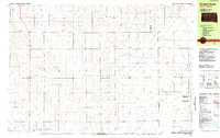 1982 Kimball North1983 Print · USGSThe Brule County prairie during the early eighties shows a landscape of established townships and extensive conservation lands. Trace the development of Kimball and the borders of the National Waterfowl Production Area near Willow Lake.
 - 1983 Map of Pukwana SE
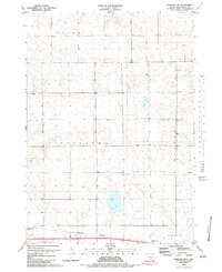 1983 Pukwana SE1983 Print · USGSBrule County's prairie landscape in the early eighties is defined by its early survey lines and rail-dependent townships. Trace the Old Indian Treaty Boundary or follow the Burlington Northern tracks past Silver Lake and several local Gravel Pits.
 - 1986 Map of Chamberlain
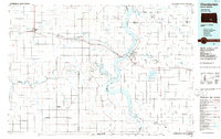 1986 Chamberlain1986 Print · USGSCentral South Dakota during the mid-eighties shows a landscape shaped by the Missouri River and the rise of Interstate 90. Researchers can trace the development of river towns like Chamberlain and Oacoma or locate remote landmarks like Bijou Hills and Hamill.2 unique versions available
 - 1986 Map of Mitchell
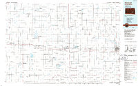 1986 Mitchell1986 Print · USGSMitchell and the surrounding prairie towns are documented in the mid-1980s as the regional rail and agricultural network matured. Genealogists can locate specific sites like the State Training Sch, Aurora Center, and the Cedar Grove Colony.2 unique versions available
 - 1990 Map of Mitchell, 1991 Print
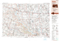 1990 Mitchell1991 Print · USGSThe Missouri River and the surrounding South Dakota plains are captured here in the early nineties, showing a landscape shaped by water and wire. Genealogists and historians can trace the gridded townships from Mitchell to the Bijou Hills, locating sites like the Platte Colony and Academy.
 - 2012 Map of Kimball North, 2012 Print
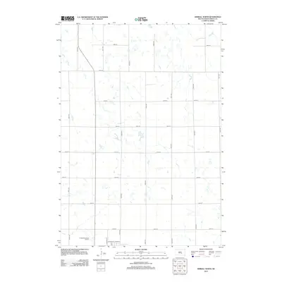 2012 Kimball North2012 Print · USGSBrule County's prairie landscape is captured here in the early 2010s, showcasing the intersection of aviation and agriculture. Researchers can trace the layout of Kimball Municipal Airport and rural road grids like 362nd Ave and 247th St.
 - 2012 Map of Kimball South, 2012 Print
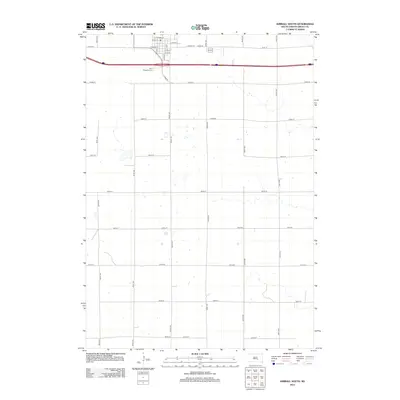 2012 Kimball South2012 Print · USGSBrule County’s agricultural heartland is captured in the early twenty-first century as the southern outskirts of Kimball meet the prairie. Genealogists and local researchers can locate Saint Margarets Cem and trace old town routes like Railway St.
 - 2012 Map of Bijou Hills NE, 2012 Print
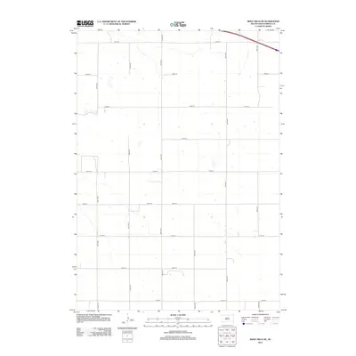 2012 Bijou Hills NE2012 Print · USGSSmith Township and the Missouri River uplands are seen here in the early 2010s, showing a high-plains landscape organized by a precise grid. Local historians and land researchers can trace the section-line roads of Brule County, from 356th Ave to 251st St.
 - 2012 Map of Pukwana SE, 2012 Print
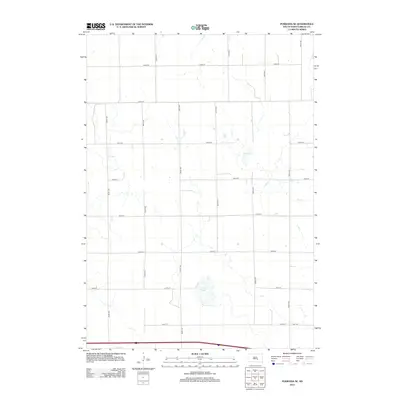 2012 Pukwana SE2012 Print · USGSBrule County's prairie landscape is captured in the early twenty-first century, defined by its rigid grid of section-line roads and natural water basins. Researchers can trace the local travel network along 243rd St and 359th Ave to landmarks like Silver Lake and Mud Lake.
 - 2015 Map of Kimball South, 2015 Print
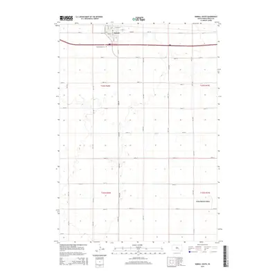 2015 Kimball South2015 Print · USGSKimball and the surrounding prairie are captured here in the mid-2010s as the community continued its role as a regional agricultural hub. Researchers can locate family plots at Saint Margarets Cem or trace the layout of the Grass Ranch Colony.
 - 2015 Map of Kimball North, 2015 Print
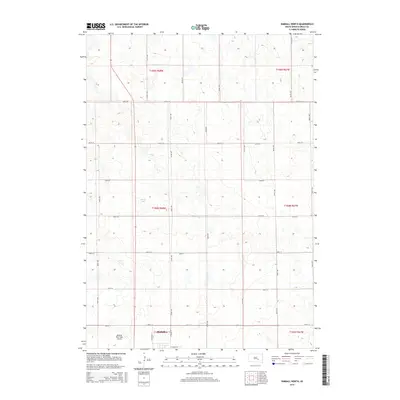 2015 Kimball North2015 Print · USGSBrule County farm country north of Kimball is captured here in the mid-2010s, showing a landscape defined by the Public Land Survey System. Researchers can trace local landmarks like Sobek Lake, the Kimball Municipal Airport, and the precise network of section-line roads.
 - 2015 Map of Bijou Hills NE, 2015 Print
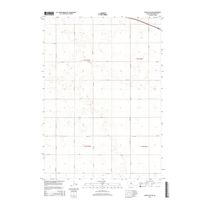 2015 Bijou Hills NE2015 Print · USGSBrule County's rural prairie is captured in the mid-2010s, showing the precise geometric grid of the American heartland. Genealogists and local historians can trace specific section boundaries and family land access along 354th Ave, 251st St, and 257th St.
 - 2015 Map of Pukwana SE, 2015 Print
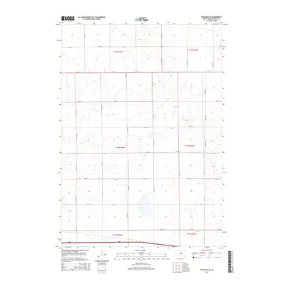 2015 Pukwana SE2015 Print · USGSBrule County's prairie landscape was meticulously organized into a grid of section-line roads by the mid-2010s. Researchers can trace the layout of family farmsteads and agricultural boundaries along routes like 356th Ave near the waters of Silver Lake and Mud Lake.
 - 2017 Map of Pukwana SE, 2017 Print
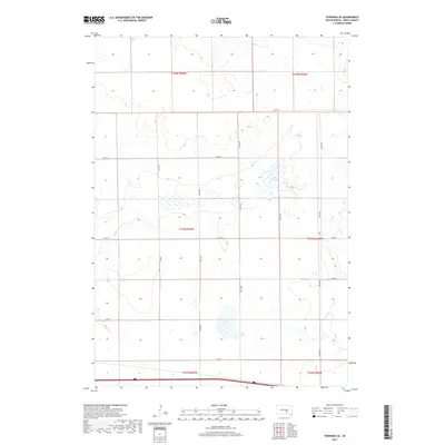 2017 Pukwana SE2017 Print · USGSBrule County's prairie landscape remains defined by its section-line grid and scattered wetlands in the late twenty-teens. Researchers can trace land ownership patterns and rural infrastructure along 355th Ave and 250 St near the shores of Silver Lake.
 - 2017 Map of Bijou Hills NE, 2017 Print
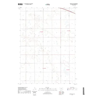 2017 Bijou Hills NE2017 Print · USGSBrule County's prairie landscape is shown in this contemporary survey of the high plains just south of the interstate corridor. Genealogists can trace property boundaries and section lines along 251st St, 358th Ave, and 254th St to locate family land.
 - 2017 Map of Kimball North, 2017 Print
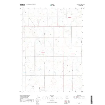 2017 Kimball North2017 Print · USGSBrule County's agricultural landscape is documented here in the late twenty-tens, showing the rural sections surrounding Kimball. Local historians can trace the town's northern expansion near the Kimball Municipal Airport and identify field patterns around Sobek Lake.
 - 2017 Map of Kimball South, 2017 Print
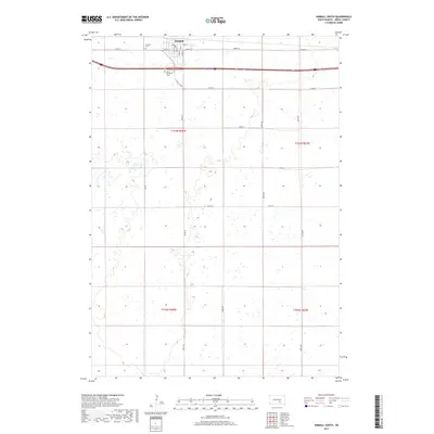 2017 Kimball South2017 Print · USGSThe northern Brule County plains are captured here in the late twenty-teens, anchored by the town of Kimball. Researchers can trace local burial sites at Kimball Cem and Saint Margarets Cem or follow the unique path of Cahill Curve.
Showing maps 1-25 of 29
Top cities near Kimball Township
Top neighborhoods of Kimball Township
Frequently asked questions
- What are the different types of historical maps available for Kimball Township?
- What is the oldest map of Kimball Township?
- Where can I purchase historical maps of Kimball Township for my home or office?
- Where can I download high-res historical maps of Kimball Township?
- Are there historical topographic maps available for Kimball Township?
- Is there historical aerial imagery available for Kimball Township?
- Where are historical maps of Kimball Township sourced from?