Old Maps of Plainfield Township, South Dakota
Explore 25 old maps of Plainfield Township, spanning from 1941 to today. These high-resolution historic maps reveal how streets, neighborhoods, landmarks, and natural features evolved over time — perfect for genealogy, metal detecting, research, and local history exploration.
What you can do with these maps:
- See how Plainfield Township changed over time: Compare historical maps to modern-day views to trace roads, homesites, rail lines & more.
- View detailed metadata: Each map includes creators, publishers, year, scale, and archive source.
- Overlay maps with satellite & LiDAR: Visualize the past alongside modern tools to explore terrain & human change.
- Trusted historical sources: Maps sourced from the USGS, Library of Congress, and other archives.
- Access maps your way: View online, download high-res files, or order prints for personal or research use.
Start exploring old maps of Plainfield Township to uncover forgotten places, hidden landmarks, and the deep history beneath your feet.
Plainfield Township, SD maps
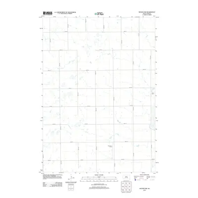
(25)- 1941 Map of Kimball North
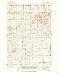
 1941 Kimball North1941 Print · USGSBrule County's agricultural heartland is documented here on the eve of the Second World War, showing a landscape defined by rail and rural schools. Genealogists can trace family footprints near Kimball or locate specific country schools like Fagerhaug Sch and Brooks Sch.
 - 1951 Map of Kimball North, 1953 Print
 1951 Kimball North1953 Print · USGSBrule County and the surrounding prairie are captured here in the early fifties, showing a landscape defined by small-town life and rural school districts. Genealogists can locate family landmarks like Lyonville, Crow Lake Ch, and the Brooks Sch.
 - 1955 Map of Mitchell, 1973 Print
 1955 Mitchell1973 Print · USGSThe Missouri River valley undergoes a massive transformation in the mid-1950s as the Fort Randall Dam creates Lake Francis Case. You can trace the rail lines of the Chicago Milwaukee St Paul and Pacific through Mitchell or locate local landmarks like Butler Town Hall.2 unique versions available
 - 1959 Map of Mitchell
 1959 Mitchell1959 Print · USGSSouth Dakota’s river and rail corridors come alive in the late fifties as the Missouri River valley undergoes dramatic change. Genealogists and historians can trace family roots through numerous small towns and schools such as Academy, Stickney, and Gregory.2 unique versions available
 - 1979 Map of Platte Lake, 1980 Print
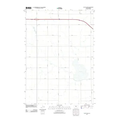
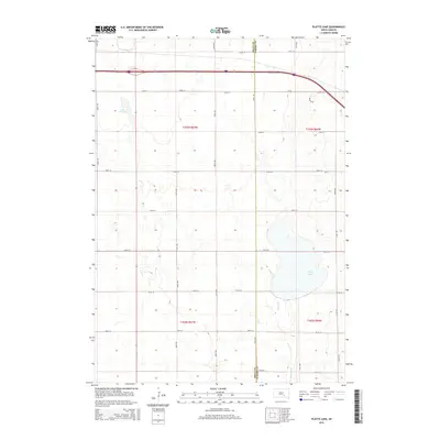
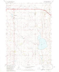 1979 Platte Lake1980 Print · USGSAcross the Brule and Aurora county line in the late seventies, this survey captures a landscape of prairie lakes and transition. Genealogists and historians can trace rural landmarks like the Wilbur Center Sch or the grounds of the Lake Sixteen State Public Shooting Area.
 - 1979 Map of Kimball South, 1980 Print
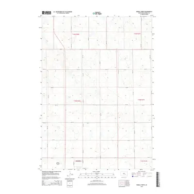
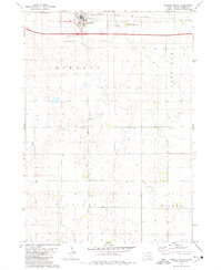 1979 Kimball South1980 Print · USGSThe agricultural plains of Brule County are captured here in the late seventies, centered on the hub of Kimball. Researchers can trace the path of the Chicago Milwaukee St Paul and Pacific railroad and locate local landmarks like St Margarets Cem.
 - 1982 Map of Kimball North, 1983 Print
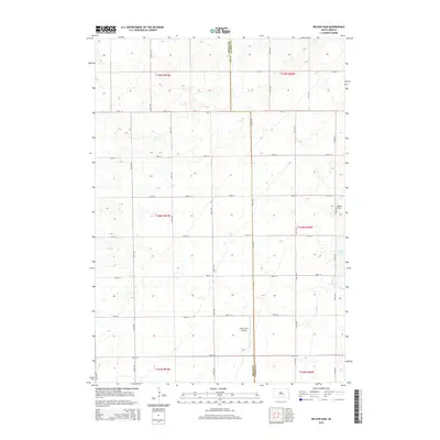
 1982 Kimball North1983 Print · USGSThe Brule County prairie during the early eighties shows a landscape of established townships and extensive conservation lands. Trace the development of Kimball and the borders of the National Waterfowl Production Area near Willow Lake.
 - 1986 Map of Mitchell
 1986 Mitchell1986 Print · USGSMitchell and the surrounding prairie towns are documented in the mid-1980s as the regional rail and agricultural network matured. Genealogists can locate specific sites like the State Training Sch, Aurora Center, and the Cedar Grove Colony.2 unique versions available
 - 1990 Map of Mitchell, 1991 Print
 1990 Mitchell1991 Print · USGSThe Missouri River and the surrounding South Dakota plains are captured here in the early nineties, showing a landscape shaped by water and wire. Genealogists and historians can trace the gridded townships from Mitchell to the Bijou Hills, locating sites like the Platte Colony and Academy.
 - 2012 Map of Kimball North, 2012 Print
 2012 Kimball North2012 Print · USGSCovers Plainfield Township, including Kimball, Willow Lake Township, and other nearby areas
 - 2012 Map of Platte Lake, 2012 Print
 2012 Platte Lake2012 Print · USGSCovers Plainfield Township, including White Lake Township, Wilbur Township, and other nearby areas
 - 2012 Map of Wilson Dam, 2012 Print
 2012 Wilson Dam2012 Print · USGSCovers Plainfield Township, including Patten Township, White Lake Township, and other nearby areas
 - 2012 Map of Kimball South, 2012 Print
 2012 Kimball South2012 Print · USGSCovers Plainfield Township, including Kimball, Wilbur Township, and other nearby areas
 - 2015 Map of Kimball South, 2015 Print
 2015 Kimball South2015 Print · USGSCovers Plainfield Township, including Kimball, Wilbur Township, and other nearby areas
 - 2015 Map of Kimball North, 2015 Print
 2015 Kimball North2015 Print · USGSCovers Plainfield Township, including Kimball, Willow Lake Township, and other nearby areas
 - 2015 Map of Wilson Dam, 2015 Print
 2015 Wilson Dam2015 Print · USGSCovers Plainfield Township, including Patten Township, White Lake Township, and other nearby areas
 - 2015 Map of Platte Lake, 2015 Print
 2015 Platte Lake2015 Print · USGSCovers Plainfield Township, including White Lake Township, Wilbur Township, and other nearby areas
 - 2017 Map of Wilson Dam, 2017 Print
 2017 Wilson Dam2017 Print · USGSCovers Plainfield Township, including Patten Township, White Lake Township, and other nearby areas
 - 2017 Map of Platte Lake, 2017 Print
 2017 Platte Lake2017 Print · USGSCovers Plainfield Township, including White Lake Township, Wilbur Township, and other nearby areas
 - 2017 Map of Kimball North, 2017 Print
 2017 Kimball North2017 Print · USGSCovers Plainfield Township, including Kimball, Willow Lake Township, and other nearby areas
 - 2017 Map of Kimball South, 2017 Print
 2017 Kimball South2017 Print · USGSCovers Plainfield Township, including Kimball, Wilbur Township, and other nearby areas
 - 2021 Map of Kimball North, 2021 Print
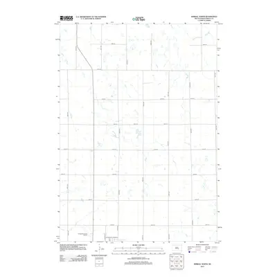
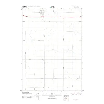
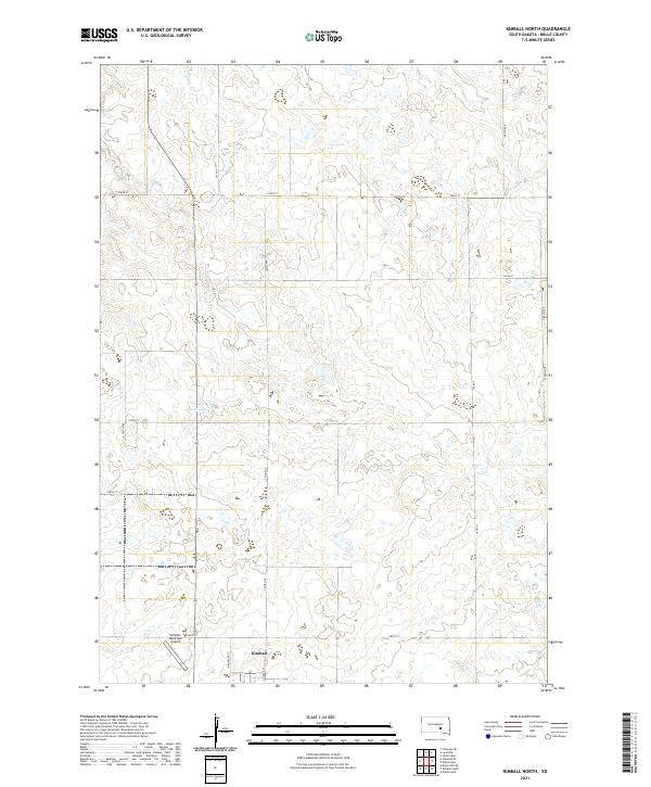 2021 Kimball North2021 Print · USGSThe northern reaches of Kimball and the surrounding Brule County prairie are captured here in the early twenty-first century. Researchers can trace the section-line road network and locate landmarks like Sobek Lake and the Kimball Municipal Airport.
 - 2021 Map of Kimball South, 2021 Print
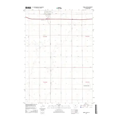
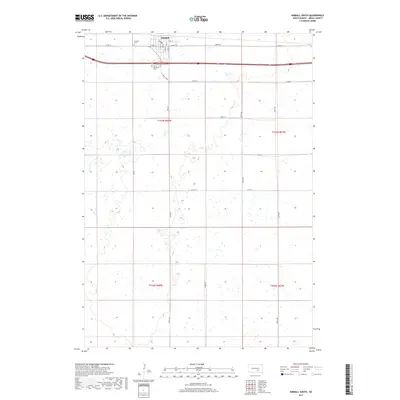
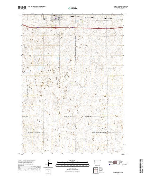 2021 Kimball South2021 Print · USGSBrule County in the early twenty-first century remains defined by its agricultural heritage and the organized growth of its rural townships. Genealogists and local historians can trace the foundations of Kimball through its central PO and the records at Saint Margarets Cem.
 - 2021 Map of Wilson Dam, 2021 Print
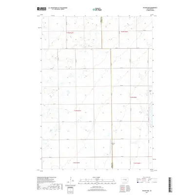
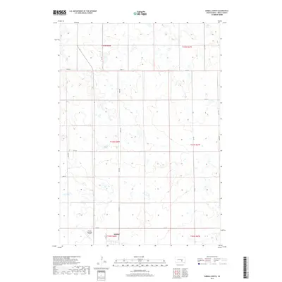
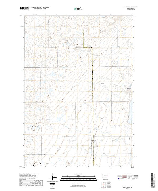 2021 Wilson Dam2021 Print · USGSRural South Dakota at the start of the 2020s shows a landscape defined by its section-line roads and prairie potholes. Researchers can locate family lands along 371st Ave or trace the area around Drake Farm Airport and Wilson Dam.
 - 2021 Map of Platte Lake, 2021 Print
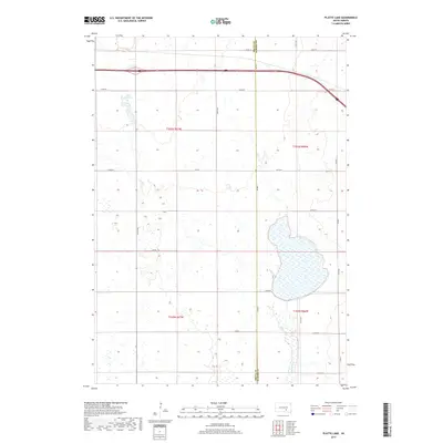
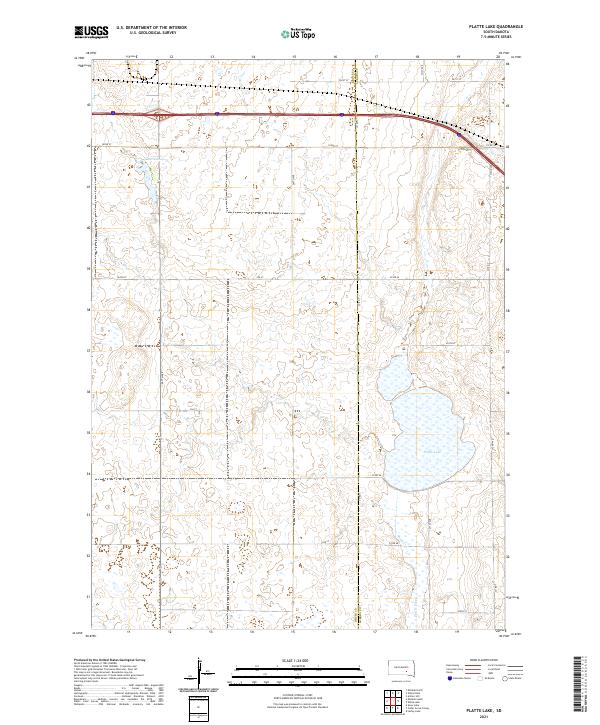 2021 Platte Lake2021 Print · USGSBrule and Aurora counties are captured in this contemporary survey of South Dakota's prairie pothole region. Genealogists and land researchers can trace the modern rural grid and water features including Platte Lake, Platte Creek, and Lake Sixteen.
End of results
Showing maps 1-25 of 25
Top cities near Plainfield Township
Frequently asked questions
- What are the different types of historical maps available for Plainfield Township?
- What is the oldest map of Plainfield Township?
- Where can I purchase historical maps of Plainfield Township for my home or office?
- Where can I download high-res historical maps of Plainfield Township?
- Are there historical topographic maps available for Plainfield Township?
- Is there historical aerial imagery available for Plainfield Township?
- Where are historical maps of Plainfield Township sourced from?