2020s Maps of Wilbur Township, South Dakota
Explore 4 historic maps of Wilbur Township from the 2020s. These maps offer a rare glimpse into what life looked like during the 2020s — showing old roads, neighborhoods, homes, and landmarks that have changed or disappeared over time.
Whether you're researching your family's past, planning a metal detecting trip, or studying how Wilbur Township's landscape evolved across the 2020s, these high-resolution maps are a powerful tool for exploring the history of this region.
- Focus on a specific era: All maps on this page are from the 2020s, giving you a focused view of this time period.
- See what’s changed: Compare century-old streets, trails, and buildings to today's modern landscape using overlays and satellite layers.
- Research with precision: Use these maps for genealogy, historical research, land use analysis, or educational projects.
- View, download, or print: Maps are fully viewable online in high resolution, and can be downloaded or printed for your own records.
Start exploring Wilbur Township's history through authentic maps from the 2020s. This is your window into the past.
Wilbur Township, SD maps
(4)- 2021 Map of Cedar Grove Colony, 2021 Print
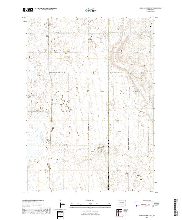 2021 Cedar Grove Colony2021 Print · USGSBrule and Aurora counties are shown in the early 2020s as a landscape of rural homesteads and agricultural colonies. Genealogists can trace family heritage through local burial sites like Bullis Wilbur Cem, Larson Cem, and Dunlap Church Cem.
 - 2021 Map of Kimball South, 2021 Print
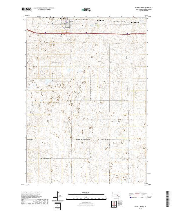 2021 Kimball South2021 Print · USGSBrule County in the early twenty-first century remains defined by its agricultural heritage and the organized growth of its rural townships. Genealogists and local historians can trace the foundations of Kimball through its central PO and the records at Saint Margarets Cem.
 - 2021 Map of Snow Lake, 2021 Print
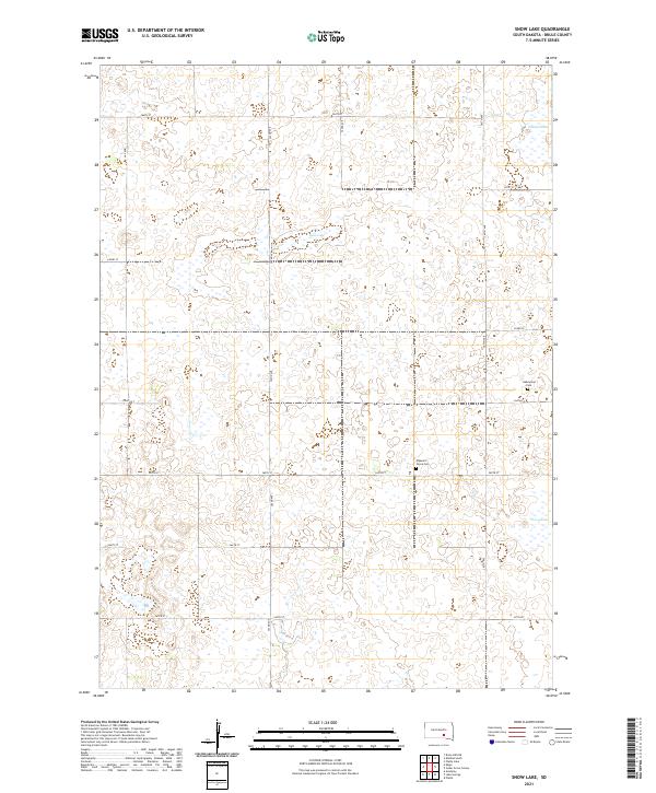 2021 Snow Lake2021 Print · USGSBrule County's prairie wetlands and township grids are documented here in the early twenty-first century. Genealogists and local historians can locate legacy burial sites like Pleasant Grove Cem and Gabrielson Cem near the shores of Snow Lake.
 - 2021 Map of Platte Lake, 2021 Print
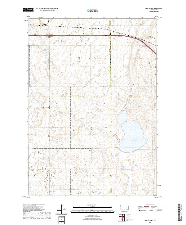 2021 Platte Lake2021 Print · USGSBrule and Aurora counties are captured in this contemporary survey of South Dakota's prairie pothole region. Genealogists and land researchers can trace the modern rural grid and water features including Platte Lake, Platte Creek, and Lake Sixteen.
End of results
Showing maps 1-4 of 4
Top cities near Wilbur Township
Top neighborhoods of Wilbur Township
Frequently asked questions
- What are the different types of historical maps available for Wilbur Township?
- What is the oldest map of Wilbur Township?
- Where can I purchase historical maps of Wilbur Township for my home or office?
- Where can I download high-res historical maps of Wilbur Township?
- Are there historical topographic maps available for Wilbur Township?
- Is there historical aerial imagery available for Wilbur Township?
- Where are historical maps of Wilbur Township sourced from?