Old Maps of Lees Corner, South Dakota for Hiking & Exploration
Hike through history with 8 historic maps of Lees Corner. Explore old trails, ghost towns, and forgotten backroads — perfect for outdoor adventurers and local explorers.
- Rediscover forgotten places: Map out old mining camps, roads, and footpaths that no longer exist on modern maps.
- Layer with modern tools: Combine with LiDAR or satellite views to plan hikes through historical terrain.
- Made for exploration: Popular among hikers, overlanders, and local history lovers.
Use these maps to find adventure and explore the hidden past of Lees Corner.
Lees Corner, SD maps
(8)- 1953 Map of Huron, 1959 Print
 1953 Huron1959 Print · USGSCentral South Dakota comes alive in the mid-1950s as a thriving rail and agricultural corridor between the Missouri and James Rivers. Trace the legacy of family farms and prairie towns like Huron, Faulkton, and Wessington Springs along the historic Chicago and North Western rail lines.3 unique versions available
 - 1954 Map of Huron, 1977 Print
 1954 Huron1977 Print · USGSCentral South Dakota was a landscape of grain elevators and river bends during the mid-fifties. Genealogists and historians can trace the development of the James River valley through railroad towns like Redfield and the sprawling Crow Creek Indian Reservation.
 - 1966 Map of Big Bend Dam SE, 1967 Print
 1966 Big Bend Dam SE1967 Print · USGSBuffalo County during the mid-sixties shows a landscape shaped by the Missouri River Basin development. Researchers can trace the tribal boundaries of the Crow Creek Indian Reservation and locate landmarks like Lees Corner and Lake Francis Case.
 - 1985 Map of Big Bend Dam, 1986 Print
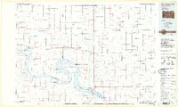 1985 Big Bend Dam1986 Print · USGSThe Missouri River landscape of the mid-1980s is defined by the massive Big Bend Dam and the sprawling waters of Lake Sharpe. Genealogists and historians can trace reservation boundaries and rural outposts like Fort Thompson, Stephan, and the Miller Dale Colony.2 unique versions available
 - 2012 Map of Big Bend Dam SE, 2012 Print
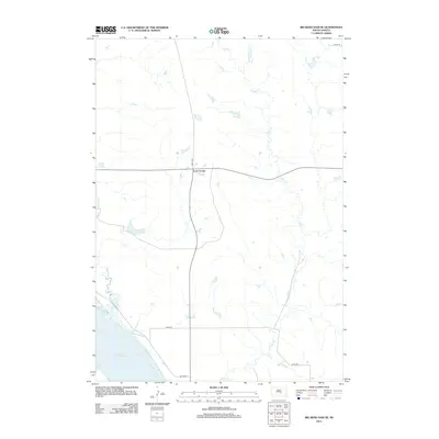 2012 Big Bend Dam SE2012 Print · USGSBuffalo County and the Crow Creek District are captured in the early 2010s, showing a landscape defined by the Missouri River reservoir. Genealogists and researchers can locate the settlement of Lees Corner and trace the paths of Wolf Cr and Campbell Cr.
 - 2015 Map of Big Bend Dam SE, 2015 Print
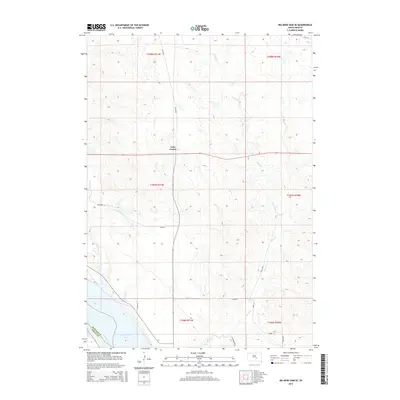 2015 Big Bend Dam SE2015 Print · USGSBuffalo County and the Crow Creek District are captured in this mid-2010s survey as the prairie meets the water. Researchers can trace the shoreline of Lake Francis Case and locate local landmarks like Lees Corner and Wolf Cr.
 - 2017 Map of Big Bend Dam SE, 2017 Print
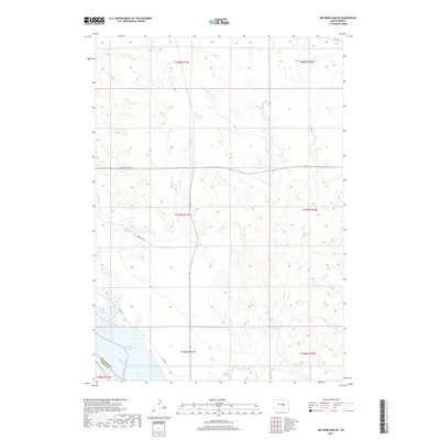 2017 Big Bend Dam SE2017 Print · USGSThe Missouri River and Lake Francis Case dominate the southern edge of this Buffalo County landscape as it appeared in 2017. Researchers can trace the winding paths of Wolf Cr and Campbell Cr or follow rural routes such as Bad Nation Rd.
 - 2021 Map of Big Bend Dam SE, 2021 Print
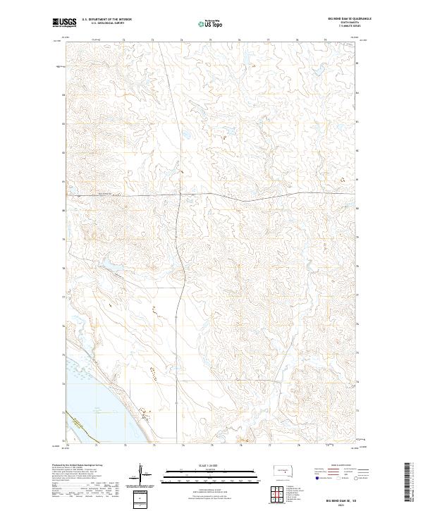 2021 Big Bend Dam SE2021 Print · USGSThe Missouri River shoreline in central South Dakota is captured here during the early 2020s. Genealogists and land researchers can trace the modern boundaries of the Crow Creek Reservation area near Lake Francis Case and Bad Nation Rd.
End of results
Showing maps 1-8 of 8
Frequently asked questions
- What are the different types of historical maps available for Lees Corner?
- What is the oldest map of Lees Corner?
- Where can I purchase historical maps of Lees Corner for my home or office?
- Where can I download high-res historical maps of Lees Corner?
- Are there historical topographic maps available for Lees Corner?
- Is there historical aerial imagery available for Lees Corner?
- Where are historical maps of Lees Corner sourced from?