Old Maps of Empire, South Dakota for Academic Research
Study the evolution of Empire with 11 high-resolution historic maps. Whether you're teaching, researching, or modeling changes in land use, these maps provide essential visual documentation of urban, environmental, and geographic change.
- Analyze long-term change: Track patterns in development, transportation, and natural features.
- Ideal for environmental or urban studies: Support academic projects with primary historical map data.
- Use in the classroom or lab: Educators and researchers rely on these maps to bring historical context to life.
These maps are a powerful tool for teaching, research, and visualizing how Empire has changed over the decades.
Empire, SD maps
(11)- 1906 Map of Vale
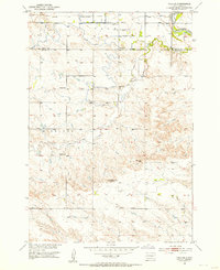
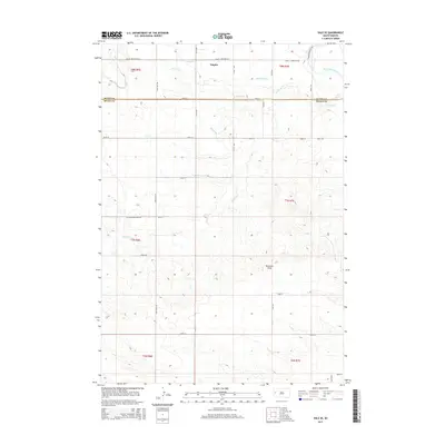
 1906 Vale1906 Print · USGSThe high plains of western South Dakota are captured here in the early twentieth century as ranching and river-fed agriculture began to take root. Researchers can trace the early footprints of Vale and Butte Hall along the winding Belle Fourche River.2 unique versions available
 - 1913 Map of Newell
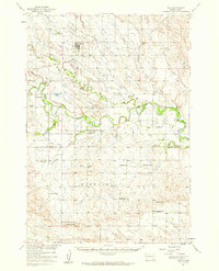
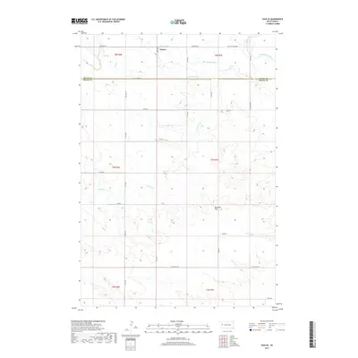
 1913 Newell1913 Print · USGSButte and Meade Counties were being reshaped by new rails and irrigation projects in the decade before the Great War. Researchers can trace the path of the Chicago and Northwestern Ry and locate early settlements like Newell, Vale, and Station Elm.2 unique versions available
 - 1951 Map of Vale SE, 1953 Print
 1951 Vale SE1953 Print · USGSMeade and Butte counties are captured here in the early fifties, showing a rural landscape defined by the Belle Fourche River and intensive irrigation. Genealogists and researchers can locate numerous local landmarks including Empire Ch, the Chicago and North Western rail line, and South Highland Sch (Abandoned).3 unique versions available
 - 1951 Map of Vale, 1959 Print
 1951 Vale1959 Print · USGSThe Butte and Meade county line in the early fifties shows a landscape of irrigated prairies and river bends shaped by the Belle Fourche River. Genealogists and local historians can trace rural school districts like Plainview Sch and find family sites near Vale Cem or the Chicago and North Western rail line.
 - 1953 Map of Rapid City, 1964 Print
 1953 Rapid City1964 Print · USGSWestern South Dakota's transition from the Black Hills to the open prairie is captured here during the mid-fifties. Researchers can trace the development of Ellsworth Air Force Base alongside historic landmarks like Bear Butte and the Lower Alkali School.3 unique versions available
 - 1957 Map of Rapid City
 1957 Rapid City1957 Print · USGSWestern South Dakota in the mid-fifties reveals a landscape of high-altitude forests and growing military installations. Researchers can trace the development of Ellsworth Air Force Base, locate the Theodore Roosevelt Monument, and find rural landmarks like Lower Alkali School.
 - 1983 Map of Belle Fourche
 1983 Belle Fourche1983 Print · USGSWestern South Dakota's ranching and irrigation systems are well-established in this early 1980s survey. Researchers can trace historic family holdings like McClure Ranch and the path of the Chicago and North Western railroad near Belle Fourche.
 - 2012 Map of Vale SE, 2012 Print
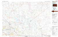
 2012 Vale SE2012 Print · USGSCovers Empire, including Meade County, Butte County, and other nearby areas
 - 2015 Map of Vale SE, 2015 Print
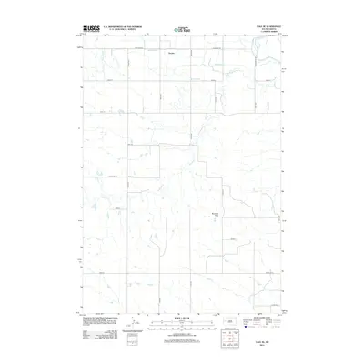
 2015 Vale SE2015 Print · USGSCovers Empire, including Meade County, Butte County, and other nearby areas
 - 2017 Map of Vale SE, 2017 Print
 2017 Vale SE2017 Print · USGSCovers Empire, including Meade County, Butte County, and other nearby areas
 - 2021 Map of Vale SE, 2021 Print
 2021 Vale SE2021 Print · USGSWestern South Dakota's rural landscape is captured here in the early twenty-first century, showing the irrigation networks of the Belle Fourche River valley. Researchers can trace the water systems of S Canal and the settlement at Empire.
End of results
Showing maps 1-11 of 11
Top cities near Empire
Frequently asked questions
- What are the different types of historical maps available for Empire?
- What is the oldest map of Empire?
- Where can I purchase historical maps of Empire for my home or office?
- Where can I download high-res historical maps of Empire?
- Are there historical topographic maps available for Empire?
- Is there historical aerial imagery available for Empire?
- Where are historical maps of Empire sourced from?