Old Maps of Hoover, South Dakota for Genealogy
Trace your family roots with 9 historic maps of Hoover. These high-res maps reveal old neighborhoods, homesites, landmarks, and streets — helping you uncover where your ancestors lived and how the area evolved over time.
- Explore historic neighborhoods: Identify where your relatives may have lived in the 1800s or 1900s.
- Compare maps over time: Trace the changes in streets, buildings, and landmarks for multi-generational research.
- Perfect for genealogy & ancestry research: Used by family historians and researchers to map out lineage and migration.
These maps are an incredible resource for exploring your personal connection to Hoover's past.
Hoover, SD maps
(9)- 1935 Map of Hoover
 1935 Hoover1935 Print · USGSThe high plains of South Dakota in the mid-thirties reveal a landscape of remote ranching outposts and conservation lands. Genealogists and researchers can trace family-named landmarks like JB Ranch and early settlements such as Hoover and Murchison.
 - 1954 Map of Lemmon, 1964 Print
 1954 Lemmon1964 Print · USGSThe high plains of South Dakota and North Dakota are documented here during the mid-twentieth century. Family researchers can trace dozens of country school sites like Green Cabin School and Bierke School alongside landmarks like The Castles.2 unique versions available
 - 1957 Map of Lemmon
 1957 Lemmon1957 Print · USGSThe northwestern plains of South Dakota and North Dakota are captured here in the mid-fifties, centered on the rail hub of Lemmon. Genealogists and historians can trace dozens of rural schoolhouses and vanished sites like Imogene and the Shadehill Reservoir area.
 - 1977 Map of Hoover, 1978 Print
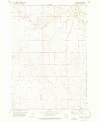 1977 Hoover1978 Print · USGSButte County rangeland in the late 1970s is defined by the convergence of major waterways at the settlement of Hoover. Researchers can trace the winding paths of the South Fork Moreau River, Bull Creek, and Hans Creek through this remote ranching territory.
 - 1980 Map of Redig
 1980 Redig1980 Print · USGSNorthwest South Dakota is captured in the early eighties as a landscape of isolated ranges and sprawling ranchland. Researchers can locate remote outposts like Redig and Harding, or trace the rugged geography of Slim Buttes and the Short Pine Hills.
 - 2012 Map of Hoover, 2012 Print
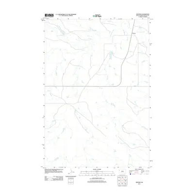 2012 Hoover2012 Print · USGSHoover and the surrounding Butte County ranchlands are documented here in the early twenty-first century. Genealogists and researchers can trace the isolated settlement at Hoover and its relationship to the S Fork Moreau River and Bull Cr.
 - 2015 Map of Hoover, 2015 Print
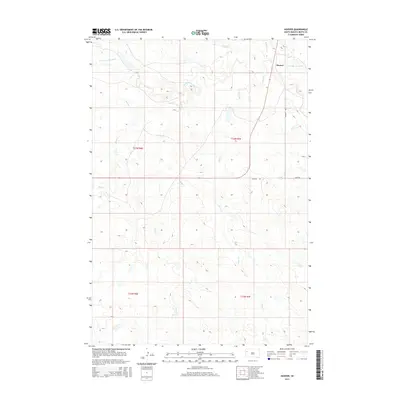 2015 Hoover2015 Print · USGSButte County ranching country is captured here in the mid-2010s, centered on the rural crossroads at Hoover. Genealogists and researchers can trace the drainage of the S Fork Moreau River and its tributaries like Frog Cr and Hans Cr.
 - 2017 Map of Hoover, 2017 Print
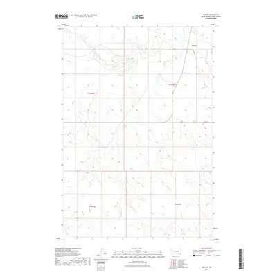 2017 Hoover2017 Print · USGSButte County in the early twenty-first century remains a landscape of wide-open spaces centered on the small settlement of Hoover. Genealogists and historians can trace the remote roads and waterways of the region, from S Fork Moreau River to Erk Rd.
 - 2021 Map of Hoover, 2021 Print
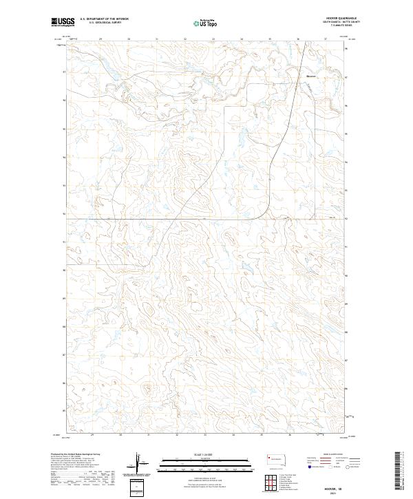 2021 Hoover2021 Print · USGSButte County rangeland comes into focus in this contemporary survey of the high plains of South Dakota. Researchers can trace the drainage of the S Fork Moreau River and locate the small settlement of Hoover near the junctions of Hoover Rd and Erk Rd.
End of results
Showing maps 1-9 of 9
Frequently asked questions
- What are the different types of historical maps available for Hoover?
- What is the oldest map of Hoover?
- Where can I purchase historical maps of Hoover for my home or office?
- Where can I download high-res historical maps of Hoover?
- Are there historical topographic maps available for Hoover?
- Is there historical aerial imagery available for Hoover?
- Where are historical maps of Hoover sourced from?