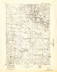
1935 Map of Hoover
USGS Topo · Published 1935About this map
The North Fork Moreau River and South Fork Moreau River define this ranching landscape where the high plains meet the eastern reaches of the Custer National Forest. Surveyed in 1935, the map captures a network of isolated post offices and outposts like Hoover and Murchison before modern highway developments transformed the region. The map details a complex system of seasonal watercourses and drainage basins, including Cottonwood Cr and Sand Creek, which dictated the location of early settlements and livestock operations.
Find a feature on this map
50 named features on this map. Tap any name to fly to it.
Don’t see what you’re looking for? This feature index may not catch every label — zoom into the map to look around manually.
Map Details
Editions of this 1935 Hoover Map
This is the sole edition of this map. No revisions or reprints were ever made.
Other maps of this area
1906 · Two Top
USGS Topo · 1:62,500
1907 · Belle Fourche
USGS Topo · 1:125,000
1913 · Newell
USGS Topo · 1:125,000
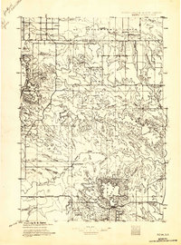
1935 · Reva
USGS Topo · 1:125,000
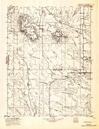
1935 · Harding
USGS Topo · 1:125,000
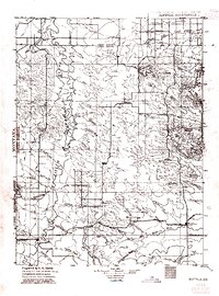
1935 · Buffalo
USGS Topo · 1:125,000
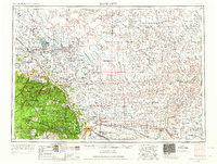
1953 · Rapid City
USGS Topo · 1:250,000
1954 · Lemmon
USGS Topo · 1:250,000
1957 · Lemmon
USGS Topo · 1:250,000
1957 · Rapid City
USGS Topo · 1:250,000