2020s Maps of Campbell County, South Dakota
Explore 30 historic maps of Campbell County from the 2020s. These maps offer a rare glimpse into what life looked like during the 2020s — showing old roads, neighborhoods, homes, and landmarks that have changed or disappeared over time.
Whether you're researching your family's past, planning a metal detecting trip, or studying how Campbell County's landscape evolved across the 2020s, these high-resolution maps are a powerful tool for exploring the history of this region.
- Focus on a specific era: All maps on this page are from the 2020s, giving you a focused view of this time period.
- See what’s changed: Compare century-old streets, trails, and buildings to today's modern landscape using overlays and satellite layers.
- Research with precision: Use these maps for genealogy, historical research, land use analysis, or educational projects.
- View, download, or print: Maps are fully viewable online in high resolution, and can be downloaded or printed for your own records.
Start exploring Campbell County's history through authentic maps from the 2020s. This is your window into the past.
Campbell County, SD maps
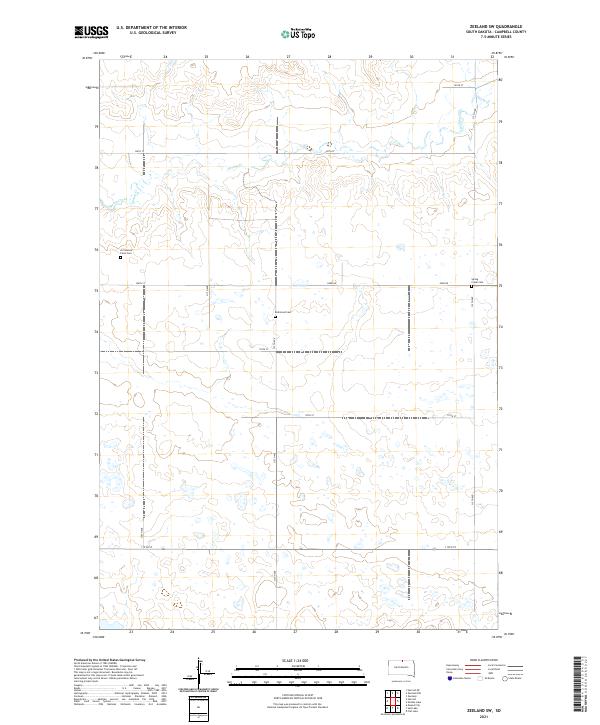
(30)- 2020 Map of Zeeland, 2020 Print
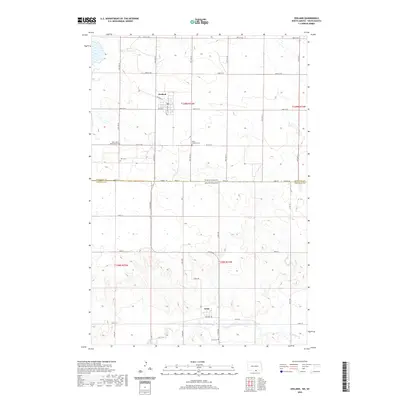 2020 Zeeland2020 Print · USGSCovers Campbell County, including Zeeland, Artas, and other nearby areas
 - 2021 Map of Mutske Lake, 2021 Print
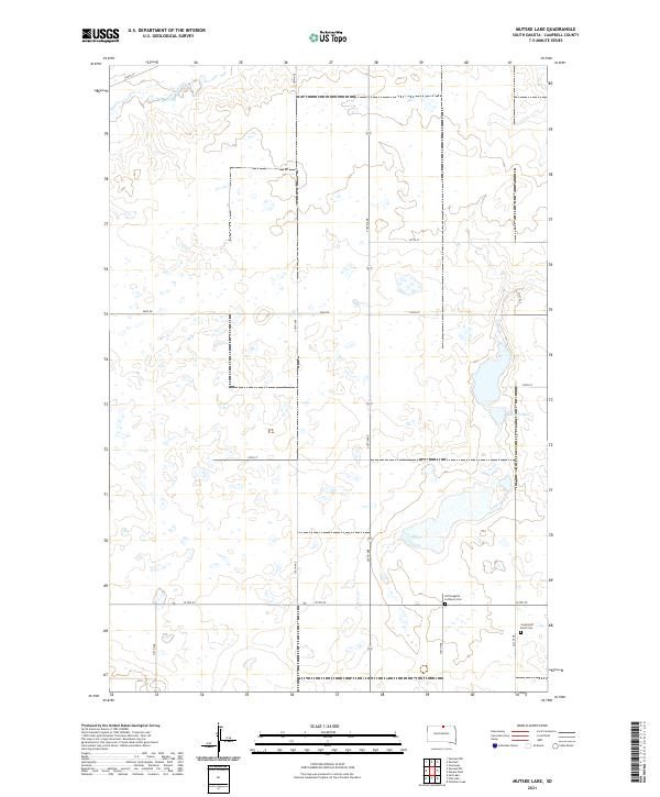 2021 Mutske Lake2021 Print · USGSCampbell County’s prairie landscape is captured here in the early twenty-first century, showing a rural grid of section-line roads and family farmstead sites. Genealogists can locate specific burial grounds including the Hoffnungstal Lutheran Cem and Jacob Hoff Farm Cem near Mutske Lake.
 - 2021 Map of Feinstein Lake, 2021 Print
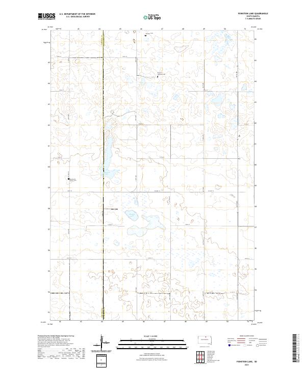 2021 Feinstein Lake2021 Print · USGSThe Campbell and McPherson County line comes into focus in this recent study of South Dakota's glaciated prairie. Researchers can trace local genealogy at the Neudorf Lutheran Cemetery or locate family-named landmarks like Feinstein Lake and Eberhardt Family Cemetery.
 - 2021 Map of Mound City, 2021 Print
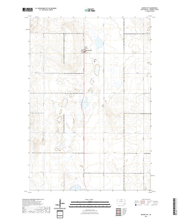 2021 Mound City2021 Print · USGSMound City, the seat of Campbell County, is captured here in the early twenty-first century amidst a landscape of prairie potholes and agricultural grids. Genealogists can locate family sites near the Mound City Cem or the Campbell County Courthouse, while water features like Renz Lake and Sand Lake dot the surrounding township lines.
 - 2021 Map of Herreid NE, 2021 Print
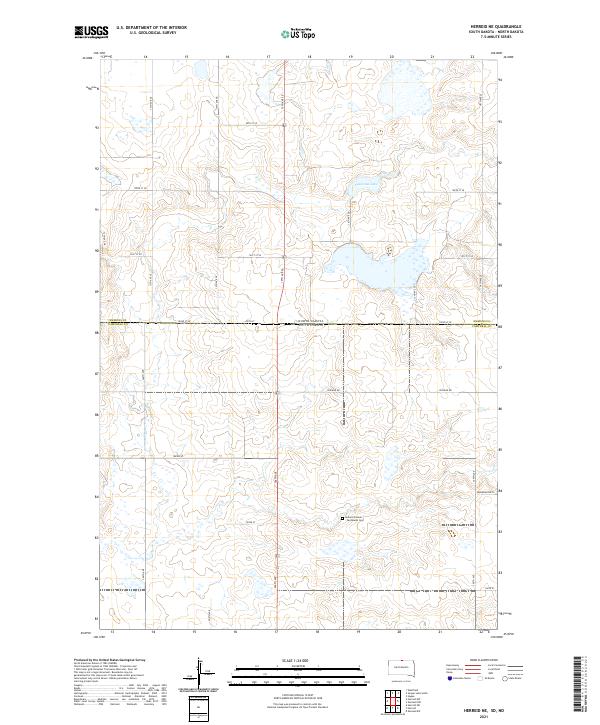 2021 Herreid NE2021 Print · USGSThe borderlands of the Dakotas appear in the early 2020s as a landscape of structured section lines and prairie wetlands. Genealogists and local historians can locate the Holland Pioneer - Van Raalte Cem and trace rural routes like Zeeland Rd near Nieuwsma Lake.
 - 2021 Map of Eureka West, 2021 Print
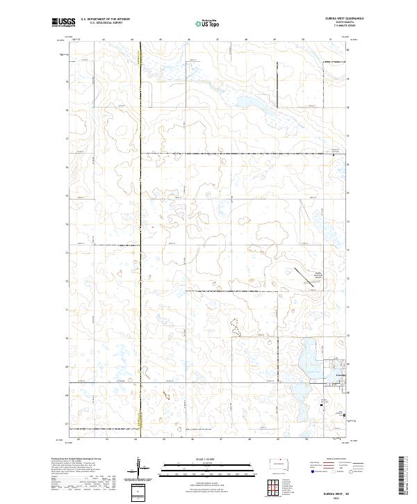 2021 Eureka West2021 Print · USGSThe eastern edge of McPherson County comes into focus in this recent survey of the prairie landscape. Genealogists can locate several burial sites including Zion Lutheran Cem and Eureka City Cem near the town of Eureka.
 - 2021 Map of Bowdle-Hosmer Lake, 2021 Print
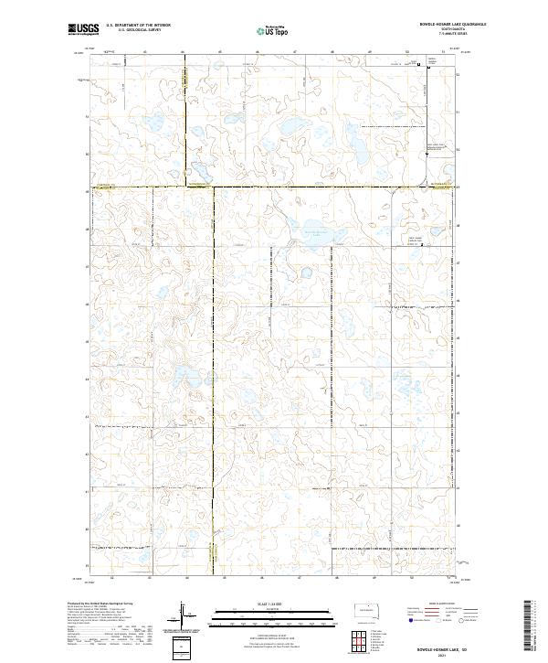 2021 Bowdle-Hosmer Lake2021 Print · USGSThe prairie landscape at the junction of four counties is captured here in the early twenty-first century. Genealogists can locate specific burial sites and legacy road networks including Saint Joseph Catholic Cem and Co Hwy 16.
 - 2021 Map of Zeeland SW, 2021 Print
 2021 Zeeland SW2021 Print · USGSCampbell County’s prairie landscape is preserved here in the early twenty-first century, showing the enduring agricultural grid and isolated landmarks. Genealogists can locate specific burial sites like A C Rossow Farm Cem, Spring Creek Cem, and Reformed Cem.
 - 2021 Map of Selby SW, 2021 Print
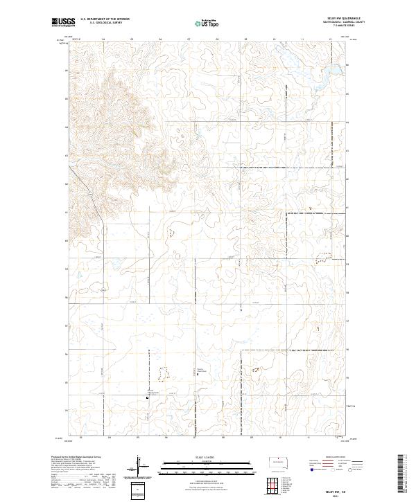
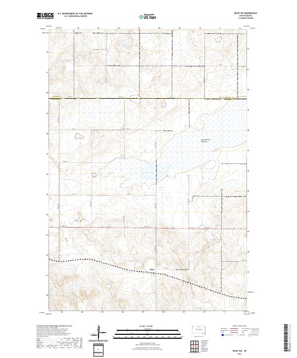 2021 Selby SW2021 Print · USGSThe rural expanse of the South Dakota prairie is captured here in the early 2020s, showing the intersection of Campbell and Walworth counties. Genealogists and researchers can trace the vicinity of Sitka or explore the geography of the massive Blue Blanket Lakebed and its surrounding road grid.
 - 2021 Map of Salt Lake, 2021 Print
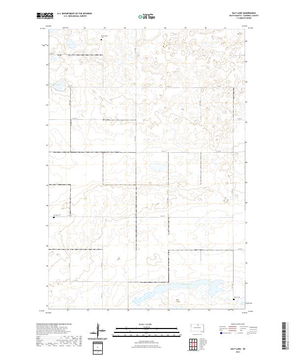 2021 Salt Lake2021 Print · USGSCampbell County’s prairie landscape is captured here in the early twenty-first century, showing a rural area defined by its water and family history. Researchers can locate secluded burial sites like Knodenfeldt Cem and Sutley Cem near the shores of Salt Lake.
 - 2021 Map of Zeeland NW, 2021 Print
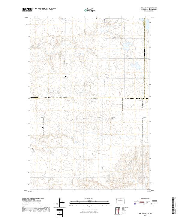 2021 Zeeland NW2021 Print · USGSThe northern border of South Dakota meets the plains of North Dakota in this 2021 survey of a quiet agricultural landscape. Genealogists can trace local heritage through the locations of the Baptist Cem and Freidens Cem along routes like Zeeland Rd.
 - 2021 Map of Herreid NW, 2021 Print
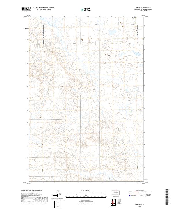
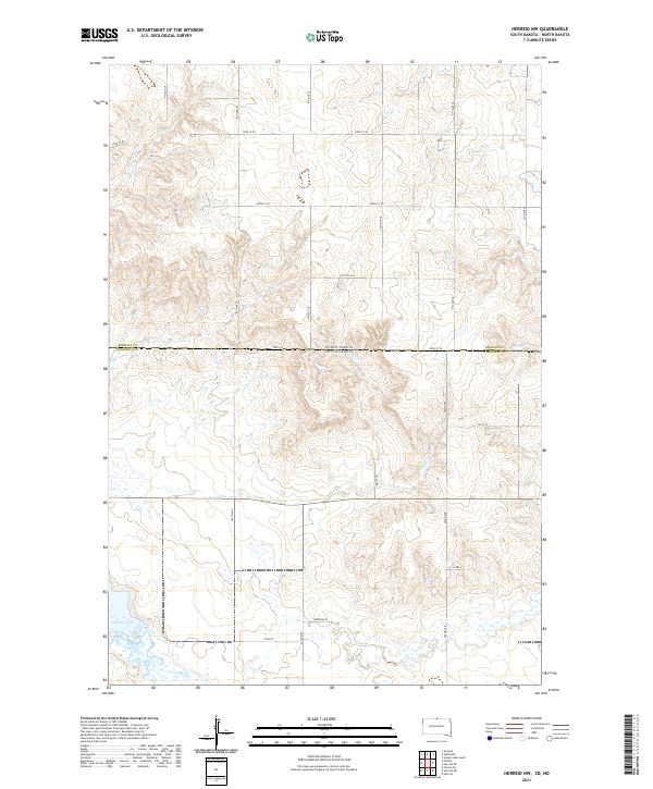 2021 Herreid NW2021 Print · USGSThe North Dakota and South Dakota borderlands come into focus in this recent survey of the prairie landscape. Researchers can trace rural property boundaries and water features such as Spring Creek, Lake Pocasse, and the distinctive Reierson Pl.
 - 2021 Map of Herreid, 2021 Print
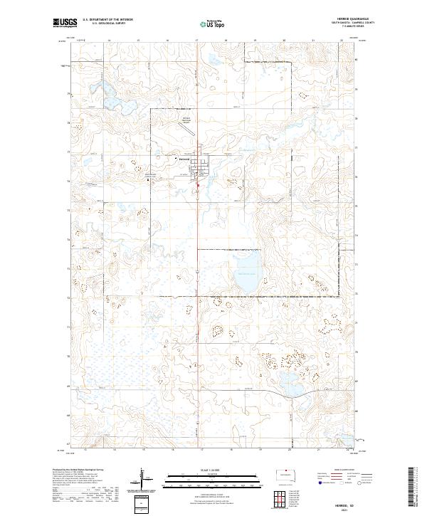 2021 Herreid2021 Print · USGSCampbell County’s prairie landscape is centered on the town of Herreid during the early 2020s. Genealogists and local historians can trace family locations through Saint Michaels Catholic Cem and Fairview Cem, while exploring the drainage of Spring Cr and McClarem Lake.
 - 2021 Map of Selby NW, 2021 Print
 2021 Selby NW2021 Print · USGSCampbell County’s northern plains in the early twenty-first century reveal a landscape of deep-rooted rural congregations and winding creek beds. Genealogists and historians can trace family ties at the Norway Cem and the German Congregational Church along the prairie grid.
 - 2021 Map of Herreid SW, 2021 Print
 2021 Herreid SW2021 Print · USGSThe rural plains of Campbell County are captured here in the early twenty-first century, showing a landscape defined by section-line roads and the waters of Spring Creek. Genealogists and land researchers can trace property boundaries across townships like T127N R77W using the grid of 300th Ave and 105th St.
 - 2021 Map of Java, 2021 Print
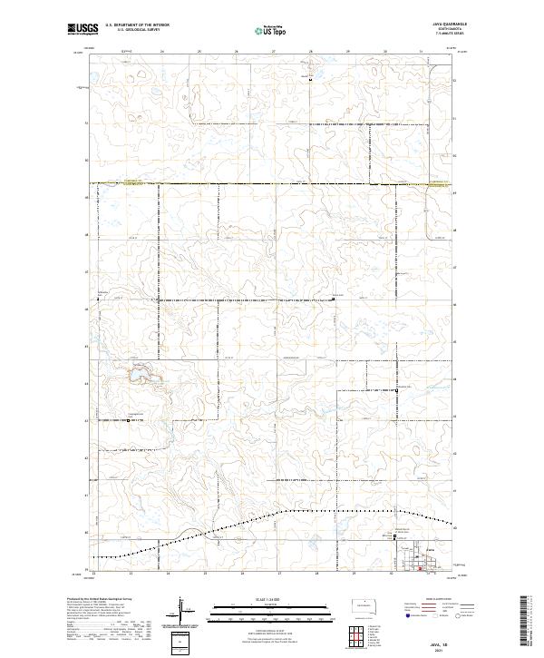 2021 Java2021 Print · USGSThe prairie landscape at the Walworth and Campbell County border is shown here during a period of established rural community. Genealogists can trace family connections through numerous sites like Bender Cem and Java or explore the terrain around Hiddenwood Lake.
 - 2021 Map of Mobridge, 2021 Print
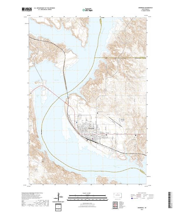 2021 Mobridge2021 Print · USGSMobridge and the Missouri River valley appear in this recent survey, showing the town's position along the shores of Lake Oahe. Researchers can locate significant sites like Sitting Bull's Grave and trace local genealogy via Greenwood Cem.
 - 2021 Map of Mobridge NE, 2021 Print
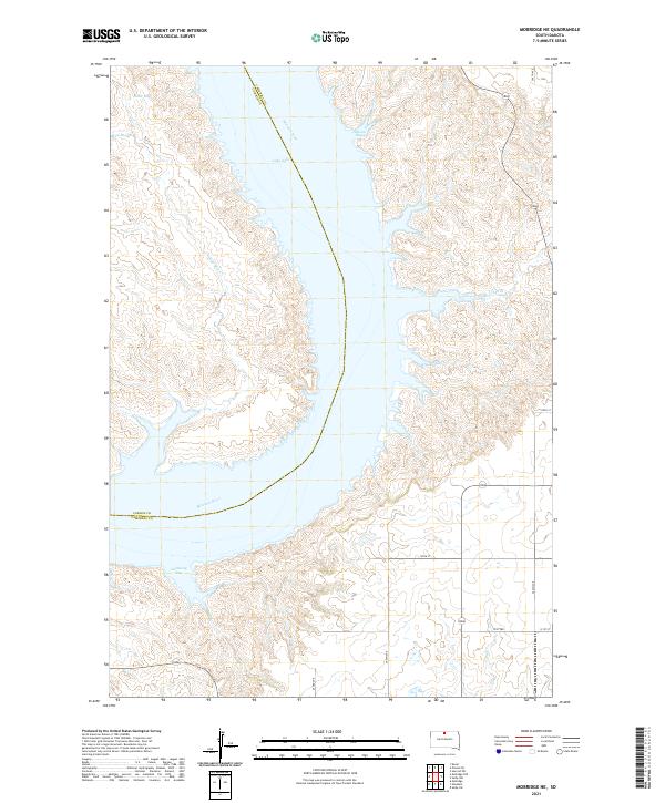 2021 Mobridge NE2021 Print · USGSThe Missouri River breaks of Campbell County are captured here in the early twenty-first century, showing the expansive reach of Lake Oahe. Researchers can trace the rugged shoreline from Gallaway Bay to Hanson Bay and locate the winding course of Highway 1804.
 - 2021 Map of Kenel, 2021 Print
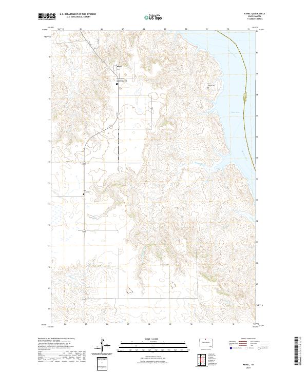 2021 Kenel2021 Print · USGSThe bluffs of the Standing Rock region overlook the Missouri River in this modern survey of North Dakota. Genealogists can locate several memorial sites including Saint Lukes Cem and the Church of the Assumption of the Blessed Virgin Cem near the community of Kenel.
 - 2021 Map of Mobridge NW, 2021 Print
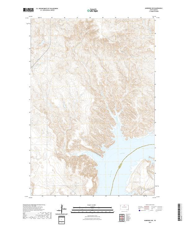 2021 Mobridge NW2021 Print · USGSThe Missouri River corridor on the Corson and Campbell county line is shown here in the early twenty-first century as the landscape centers on Lake Oahe. Genealogists and researchers can trace the contours of Moosquit Valley and the shoreline near Rogo Bay and Fisher Cr.
 - 2021 Map of Java SE, 2021 Print
 2021 Java SE2021 Print · USGSThe rural landscape near the Campbell and Walworth County line is shown here in its modern agricultural context. Family historians can locate several historic burial sites such as Java East Cem and the Seventh - Day Adventist Cem.
 - 2021 Map of Greenway, 2021 Print
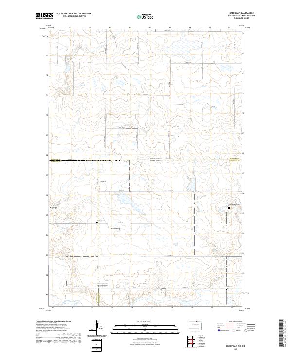 2021 Greenway2021 Print · USGSCrossing the border between the Dakotas in the early twenty-first century, this survey shows the rural landscape of the Missouri Plateau. Genealogists and researchers can trace the vicinity of Greenway and Madra or follow the path of Spring Cr through the southern sections.
 - 2021 Map of Selby, 2021 Print
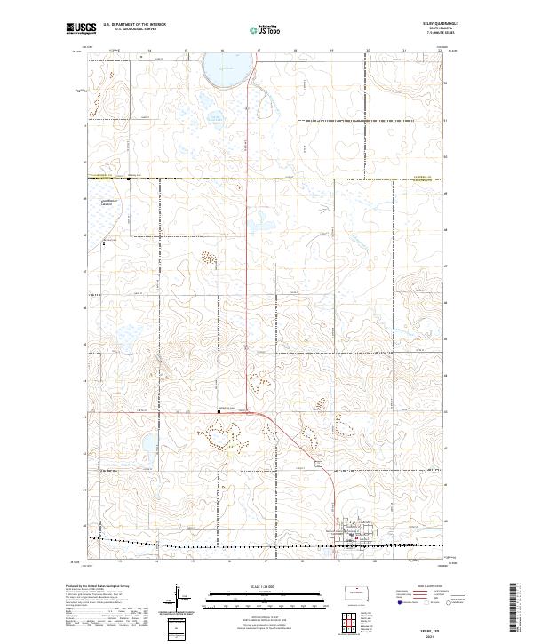 2021 Selby2021 Print · USGSWalworth County comes into focus in this recent survey, centered on the civic life of Selby and its surrounding prairie townships. Researchers can trace the layout of the county seat near the Walworth County Courthouse or locate family roots at Bethlehem Cem and Bethany Cem.
 - 2021 Map of Flat Lake, 2021 Print
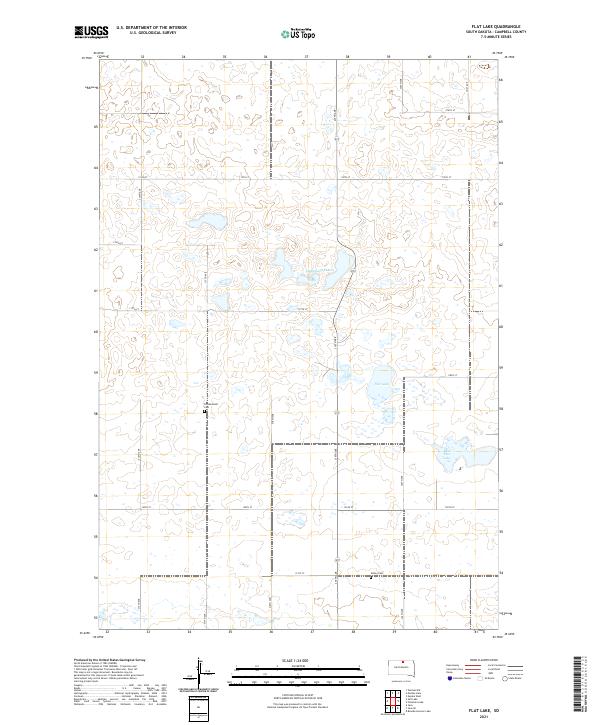 2021 Flat Lake2021 Print · USGSCampbell County’s northern prairie is captured here in the early 2020s, showing a landscape defined by seasonal waters and pioneer history. Researchers can locate family sites near Friedenstahl Cem or trace the geography of Flat Lake and Lindemann Lakes.
 - 2021 Map of Mahto NE, 2021 Print
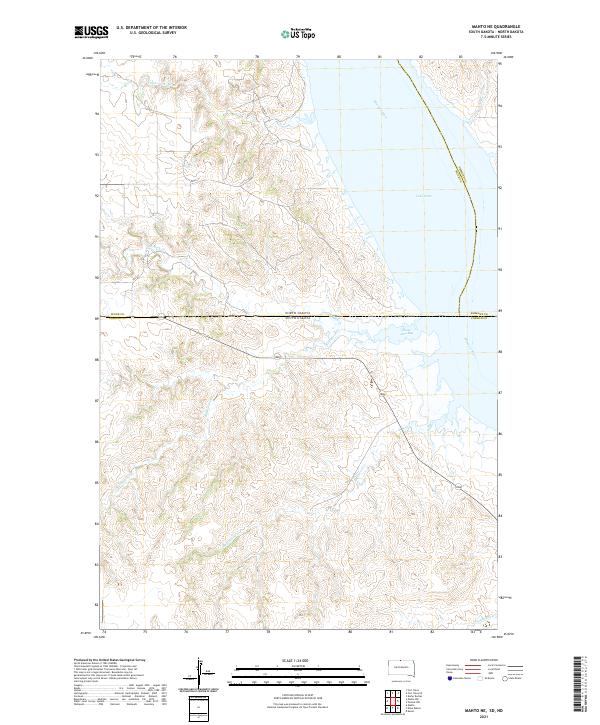 2021 Mahto NE2021 Print · USGSThe borderlands of the Dakotas meet along the Missouri River and Lake Oahe in the early twenty-first century. Genealogists and researchers can trace the natural drainages of Blackfoot Cr, Fireheart Cr, and State Line Bay.
Showing maps 1-25 of 30
Top cities of Campbell County
Frequently asked questions
- What are the different types of historical maps available for Campbell County?
- What is the oldest map of Campbell County?
- Where can I purchase historical maps of Campbell County for my home or office?
- Where can I download high-res historical maps of Campbell County?
- Are there historical topographic maps available for Campbell County?
- Is there historical aerial imagery available for Campbell County?
- Where are historical maps of Campbell County sourced from?