Old Maps of Hamilton Township, South Dakota for Academic Research
Study the evolution of Hamilton Township with 20 high-resolution historic maps. Whether you're teaching, researching, or modeling changes in land use, these maps provide essential visual documentation of urban, environmental, and geographic change.
- Analyze long-term change: Track patterns in development, transportation, and natural features.
- Ideal for environmental or urban studies: Support academic projects with primary historical map data.
- Use in the classroom or lab: Educators and researchers rely on these maps to bring historical context to life.
These maps are a powerful tool for teaching, research, and visualizing how Hamilton Township has changed over the decades.
Hamilton Township, SD maps
(20)- 1955 Map of Mitchell, 1973 Print
 1955 Mitchell1973 Print · USGSThe Missouri River valley undergoes a massive transformation in the mid-1950s as the Fort Randall Dam creates Lake Francis Case. You can trace the rail lines of the Chicago Milwaukee St Paul and Pacific through Mitchell or locate local landmarks like Butler Town Hall.2 unique versions available
 - 1959 Map of Mitchell
 1959 Mitchell1959 Print · USGSSouth Dakota’s river and rail corridors come alive in the late fifties as the Missouri River valley undergoes dramatic change. Genealogists and historians can trace family roots through numerous small towns and schools such as Academy, Stickney, and Gregory.2 unique versions available
 - 1964 Map of Whetstone Bay, 1965 Print
 1964 Whetstone Bay1965 Print · USGSThe Missouri River breaks of Gregory County are captured here in the mid-1960s following the creation of the Fort Randall Reservoir. Researchers can trace the Rosebud Indian Reservation Boundary and locate landmarks like Mulehead Ranch and the Whetstone Bay Recreation Area.
 - 1971 Map of Lucas SE, 1974 Print
 1971 Lucas SE1974 Print · USGSThe Missouri River breaks into the reservoir of Lake Francis Case during the early seventies, defining the border of the Rosebud Indian Reservation. Local history researchers can locate Trinity Ch, a hilltop Cem, and drainage points like Whetstone Creek.
 - 1979 Map of Castalia, 1980 Print
 1979 Castalia1980 Print · USGSCharles Mix County's prairie and river landscape are captured here in the late 1970s, as the Missouri River transition defines the local terrain. Genealogists and researchers can locate Friesland Cem, the settlement of Castalia, and several Flowing Wells tucked into the creek breaks.
 - 1986 Map of Winner
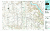 1986 Winner1986 Print · USGSTripp and Gregory Counties are captured in the mid-eighties as the agricultural heartland centered on the Chicago and North Western line. Genealogists can trace family footprints near St Charles, Paxton, and Winner, or explore the shoreline of Lake Francis Case.2 unique versions available
 - 1986 Map of Lake Andes
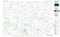 1986 Lake Andes1986 Print · USGSThe Yankton Indian Reservation and the vast Missouri River impoundments define this South Dakota landscape in the mid-eighties. Researchers can trace old township lines and the Old Railroad Grade, or locate sites like Fort Randall and the Pleasant Ridge Cem.3 unique versions available
 - 1990 Map of Mitchell, 1991 Print
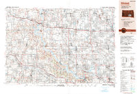 1990 Mitchell1991 Print · USGSThe Missouri River and the surrounding South Dakota plains are captured here in the early nineties, showing a landscape shaped by water and wire. Genealogists and historians can trace the gridded townships from Mitchell to the Bijou Hills, locating sites like the Platte Colony and Academy.
 - 2012 Map of Castalia, 2012 Print
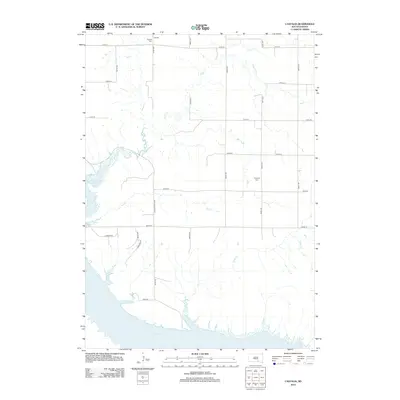 2012 Castalia2012 Print · USGSCharles Mix County's rural character is captured here in the early twenty-first century as agricultural section lines meet the massive Lake Francis Case reservoir. Genealogists can trace local burials at Castalia Cem and Friesland Cem or locate family land near Platte Cr.
 - 2012 Map of Whetstone Bay, 2012 Print
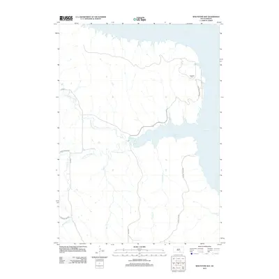 2012 Whetstone Bay2012 Print · USGSCharles Mix County and the Missouri River reservoir system are captured here in the early twenty-first century. Researchers can trace land divisions and water access around Mulehead Ranch, Whetstone Bay, and the banks of Lake Francis Case.
 - 2012 Map of Lucas SE, 2012 Print
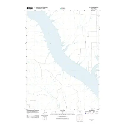 2012 Lucas SE2012 Print · USGSThe Missouri River breaks of South Dakota are shown here in the years following the creation of Lake Francis Case. Genealogists and local historians can trace rural ranching access along Wynia Ranch Rd and the drainage of Fivemile Cr.
 - 2015 Map of Castalia, 2015 Print
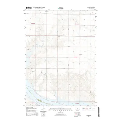 2015 Castalia2015 Print · USGSIn this modern survey of Charles Mix County, the Missouri River valley meets the agricultural tablelands of South Dakota. Genealogists and historians can trace local heritage at Castalia Cem, explore the depths of Cedar Creek Cyn, and follow the historic Lewis and Clark Trl.
 - 2015 Map of Whetstone Bay, 2015 Print
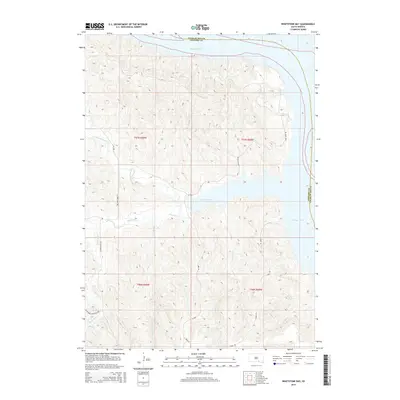 2015 Whetstone Bay2015 Print · USGSThe Missouri River and the expansive waters of Lake Francis Case dominate this South Dakota landscape at the turn of the 21st century. Researchers can trace the rugged creek breaks along N Fork Whetstone Cr or locate rural transit routes like Mule Head Rd and Schriever Township Hwy.
 - 2015 Map of Lucas SE, 2015 Print
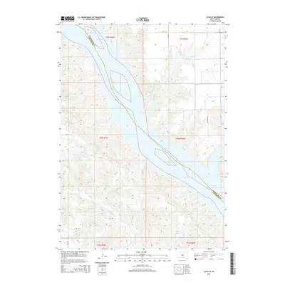 2015 Lucas SE2015 Print · USGSThe Missouri River breaks through the high plains of Charles Mix County in the 2010s, showing a landscape defined by the waters of Lake Francis Case. Trace the drainage of Fivemile Cr and N Fork Whetstone Cr along rural routes like Wynia Ranch Rd.
 - 2017 Map of Whetstone Bay, 2017 Print
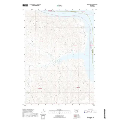 2017 Whetstone Bay2017 Print · USGSCharles Mix and Gregory counties meet along the Missouri River in the late 2010s, where the expansion of the river forms the prominent Whetstone Bay. Researchers can trace old routes like Old 1806 Road and follow the intricate drainages of Whetstone Creek and Truesdell Creek.
 - 2017 Map of Lucas SE, 2017 Print
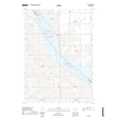 2017 Lucas SE2017 Print · USGSThe Missouri River valley and Lake Francis Case shoreline dominate this 2017 survey of the Charles Mix County border. Genealogists and local historians can trace the rural road network near West Trinity Lutheran Church and the historic Old 1806 Rd.
 - 2017 Map of Castalia, 2017 Print
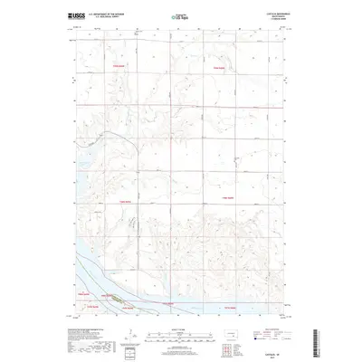 2017 Castalia2017 Print · USGSCharles Mix County territory shows its transition from upland prairie to the Missouri River breaks during the twenty-first century. Genealogists and researchers can locate Castalia Cem and Friesland Cem or trace the path of the Lewis and Clark Trl near Lake Francis Case.
 - 2021 Map of Lucas SE, 2021 Print
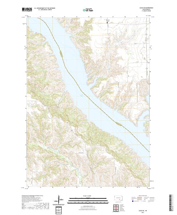 2021 Lucas SE2021 Print · USGSThe Missouri River breaks of Gregory County are captured here in the early twenty-first century as they meet the expansive Lake Francis Case. Researchers can locate rural landmarks like the West Trinity Lutheran Church or trace the transition from Old 1806 Rd to modern township highways.
 - 2021 Map of Castalia, 2021 Print
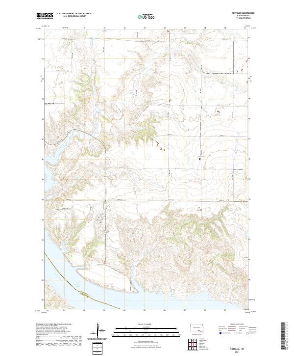 2021 Castalia2021 Print · USGSCharles Mix County's prairie and river bluffs are captured here in the early twenty-first century as they overlook the Missouri. Genealogists and local historians can locate Friesland Cem and the settlement of Castalia, or trace the path of the Lewis and Clark Trl above Lake Francis Case.
 - 2021 Map of Whetstone Bay, 2021 Print
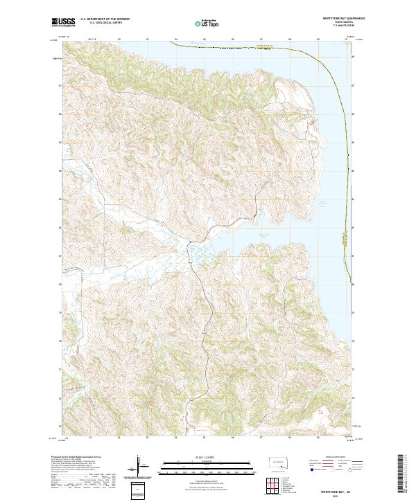 2021 Whetstone Bay2021 Print · USGSGregory County's river breaks meet the Missouri at the start of the twenty-first century, showing the rugged interface between prairie and reservoir. Researchers can trace the paths of Old 1806 Rd and Mulehead Rd as they wind toward Whetstone Bay.
End of results
Showing maps 1-20 of 20
Top cities near Hamilton Township
Frequently asked questions
- What are the different types of historical maps available for Hamilton Township?
- What is the oldest map of Hamilton Township?
- Where can I purchase historical maps of Hamilton Township for my home or office?
- Where can I download high-res historical maps of Hamilton Township?
- Are there historical topographic maps available for Hamilton Township?
- Is there historical aerial imagery available for Hamilton Township?
- Where are historical maps of Hamilton Township sourced from?