Old Maps of Plain Center Township, South Dakota for Academic Research
Study the evolution of Plain Center Township with 31 high-resolution historic maps. Whether you're teaching, researching, or modeling changes in land use, these maps provide essential visual documentation of urban, environmental, and geographic change.
- Analyze long-term change: Track patterns in development, transportation, and natural features.
- Ideal for environmental or urban studies: Support academic projects with primary historical map data.
- Use in the classroom or lab: Educators and researchers rely on these maps to bring historical context to life.
These maps are a powerful tool for teaching, research, and visualizing how Plain Center Township has changed over the decades.
Plain Center Township, SD maps
(31)- 1955 Map of Mitchell, 1973 Print
 1955 Mitchell1973 Print · USGSThe Missouri River valley undergoes a massive transformation in the mid-1950s as the Fort Randall Dam creates Lake Francis Case. You can trace the rail lines of the Chicago Milwaukee St Paul and Pacific through Mitchell or locate local landmarks like Butler Town Hall.2 unique versions available
 - 1955 Map of O'Neill, 1974 Print
 1955 O'Neill1974 Print · USGSNorth-central Nebraska in the 1950s reveals a vast cattle-ranching landscape transitioning from the Missouri River breaks to the iconic Sand Hills. Researchers can trace the path of the Chicago and North Western rail line and locate rural landmarks like the Dustin Post Office and St Johns Lake Ch.2 unique versions available
 - 1959 Map of O'Neill
 1959 O'Neill1959 Print · USGSNorth-central Nebraska in the late fifties is defined by the vast Sand Hills and the vital Chicago and North Western rail line. Genealogists and researchers can trace family roots through settlements like Atkinson, Bassett, and Stuart or follow the waters of the Niobrara River.2 unique versions available
 - 1959 Map of Mitchell
 1959 Mitchell1959 Print · USGSSouth Dakota’s river and rail corridors come alive in the late fifties as the Missouri River valley undergoes dramatic change. Genealogists and historians can trace family roots through numerous small towns and schools such as Academy, Stickney, and Gregory.2 unique versions available
 - 1964 Map of Wagner, 1966 Print
 1964 Wagner1966 Print · USGSCharles Mix County agricultural life and the city of Wagner are captured here in the mid-sixties. Local researchers can trace the Old Indian Treaty Boundary and locate numerous rural landmarks like St Johns Cem and School No 51.2 unique versions available
 - 1964 Map of Lynch NE, 1966 Print
 1964 Lynch NE1966 Print · USGSThe Missouri River borderlands in the mid-1960s reveal a landscape of prairie schools and treaty boundaries. Genealogists can locate family landmarks like the Native American Ch or trace old rural districts such as School No 64 and School No 80.2 unique versions available
 - 1964 Map of Wagner SW, 1966 Print
 1964 Wagner SW1966 Print · USGSThe Missouri River breaks and upland plains of Charles Mix County are captured here in the mid-sixties, showing the rural homesteads and treaty lines of the day. Researchers can trace the Old Indian Treaty Boundary and locate historic rural hubs like St Catherine Ch and School No 32.
 - 1964 Map of Marty, 1966 Print
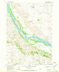 1964 Marty1966 Print · USGSThe Missouri River borderlands of South Dakota and Nebraska are captured here in the mid-sixties, showcasing a landscape shaped by tribal lands and military history. Genealogists can trace family footprints through the Old Yankton Indian Res Bdy, St Pauls Cem, and several rural schools like School No 83.2 unique versions available
 - 1969 Map of O'Neill
 1969 O'Neill1969 Print · USGSCentral Nebraska in the mid-fifties is defined here by the expansive Sand Hills and the winding Niobrara River. Trace the Chicago and North Western rail line through cattle towns like O'Neill and Ainsworth.
 - 1977 Map of Wagner
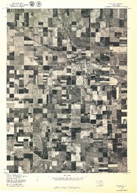 1977 Wagner1977 Print · USGSWagner and the surrounding farmlands of Charles Mix County are seen from the air in the late seventies. Family historians and researchers can trace the precise layout of Wagner and the winding path of Choteau Creek across the prairie.
 - 1977 Map of Wagner SW
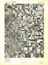 1977 Wagner SW1977 Print · USGSSouthern South Dakota agriculture and the Missouri River bluffs are captured in this late-seventies aerial survey. Trace the intersection of structured field patterns with the natural erosional drainages of the river valley near the Bureau of Indian Affairs lands.
 - 1986 Map of Atkinson
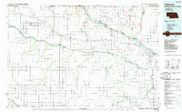 1986 Atkinson1986 Print · USGSBoyd and Holt counties come into focus during the mid-eighties as they span the river valleys of the Nebraska and South Dakota border. Genealogists can locate family-named townships and remote outposts like Opportunity, Pishelville, and the Yankton Indian Reservation.2 unique versions available
 - 1986 Map of Lake Andes
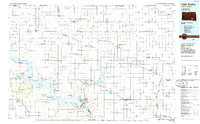 1986 Lake Andes1986 Print · USGSThe Yankton Indian Reservation and the vast Missouri River impoundments define this South Dakota landscape in the mid-eighties. Researchers can trace old township lines and the Old Railroad Grade, or locate sites like Fort Randall and the Pleasant Ridge Cem.3 unique versions available
 - 1989 Map of O'Neill
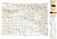 1989 O'Neill1989 Print · USGSThe Nebraska-South Dakota borderlands are captured here in the late eighties, documenting the ranching and rail infrastructure of the High Plains. Genealogists and collectors can trace historic prairie towns like Monowi, Pishelville, and Santee along the Niobrara River.
 - 1990 Map of Mitchell, 1991 Print
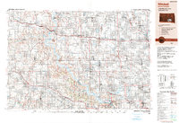 1990 Mitchell1991 Print · USGSThe Missouri River and the surrounding South Dakota plains are captured here in the early nineties, showing a landscape shaped by water and wire. Genealogists and historians can trace the gridded townships from Mitchell to the Bijou Hills, locating sites like the Platte Colony and Academy.
 - 2012 Map of Lynch NE, 2012 Print
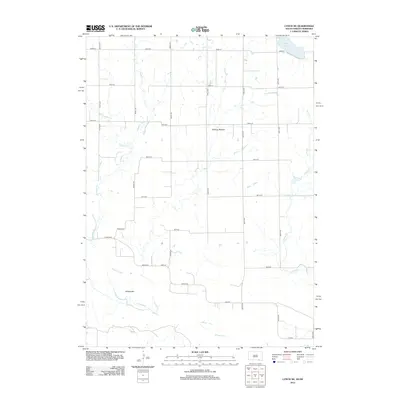 2012 Lynch NE2012 Print · USGSCharles Mix County at the turn of the decade shows a landscape defined by the winding Missouri River and a rigid network of section roads. Genealogists and local historians can trace the paths of Slaughter Cr, White Lake, and the lowlands of Tobacco Bottom.
 - 2012 Map of Marty, 2012 Print
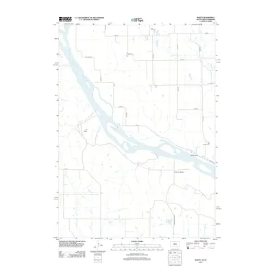 2012 Marty2012 Print · USGSThe Missouri River borderlands of South Dakota and Nebraska are captured here in the early twenty-first century. Researchers can locate the settlement of Greenwood, trace the topography of Old Baldy, and identify local sites like Holy Fellowship Cem and Micanek Reservoir.
 - 2012 Map of Wagner, 2012 Print
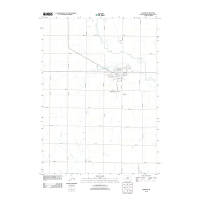 2012 Wagner2012 Print · USGSThe town of Wagner and its surrounding prairie landscape are captured here in the early twenty-first century. Researchers can trace local landmarks from Saint Johns Cem and the Wagner Municipal Airport to the waters of Choteau Cr.
 - 2012 Map of Wagner SW, 2012 Print
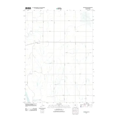 2012 Wagner SW2012 Print · USGSThe rural agricultural landscape of Charles Mix County is captured here in the early twenty-first century. Genealogists and local historians can locate the Cedar Presbyterian Cem and trace the paths of Sevenmile Cr and Red Lake.
 - 2015 Map of Lynch NE, 2015 Print
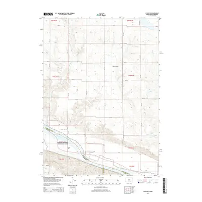 2015 Lynch NE2015 Print · USGSThe Missouri River borderlands between South Dakota and Nebraska are captured here in the early twenty-first century. Researchers can trace the protected river corridor at Missouri National Recreation River and explore the rural road network including Eggers Rd and Tobacco Bottom.
 - 2015 Map of Marty, 2015 Print
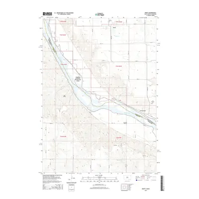 2015 Marty2015 Print · USGSThe Missouri River borderlands of South Dakota and Nebraska are captured here in the mid-2010s, showing the intersection of river recreation and rural life. Genealogists and local historians can locate the riverside settlement of Greenwood, the community of Marty, and landmarks like Old Baldy and Saint Pauls Cem.
 - 2015 Map of Wagner, 2015 Print
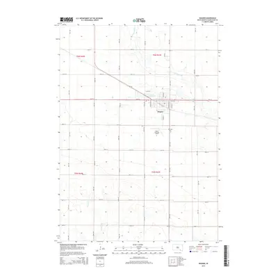 2015 Wagner2015 Print · USGSWagner and the surrounding plains of Charles Mix County are captured here in the mid-2010s, showing a landscape defined by industrial agriculture and the section-line grid. Researchers can trace the town's footprint from Lake Wagner to Saint Johns Cem and across the waters of Choteau Creek.
 - 2015 Map of Wagner SW, 2015 Print
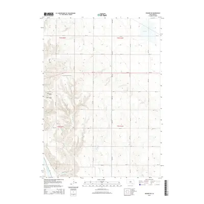 2015 Wagner SW2015 Print · USGSThe Missouri River bluffs and White Swan Township uplands are captured here in the mid-2010s. Researchers can locate the Cedar Presbyterian Cem and trace the rugged topography of Williamson Gulch or the winding Mosquito Cr.
 - 2017 Map of Wagner, 2017 Print
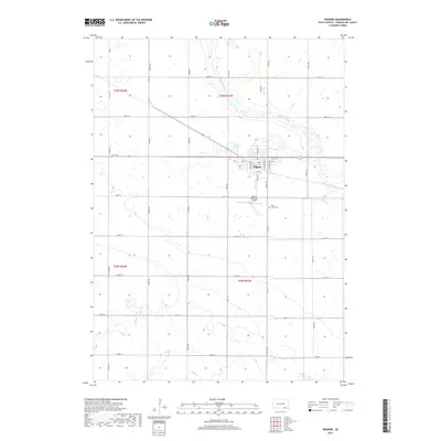 2017 Wagner2017 Print · USGSThe town of Wagner and the surrounding agricultural plains of Charles Mix County are captured here in the early twenty-first century. Genealogists and local historians can locate Saint Johns Cem and trace the drainage of Chouteau Creek and Slaughter Cr across the prairie.
 - 2017 Map of Wagner SW, 2017 Print
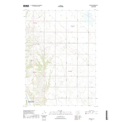 2017 Wagner SW2017 Print · USGSCharles Mix County agricultural lands and river bluffs are documented here during the late twenty-tens. Genealogists and local historians can trace family plots at Cedar Presbyterian Cem or follow the natural contours of Black Timber Gulch.
Showing maps 1-25 of 31
Top cities near Plain Center Township
- Wagner historical maps
- Lake Andes historical maps
- Lynch historical maps
- Pickstown historical maps
- Dante historical maps
- Ravinia historical maps
See more
Frequently asked questions
- What are the different types of historical maps available for Plain Center Township?
- What is the oldest map of Plain Center Township?
- Where can I purchase historical maps of Plain Center Township for my home or office?
- Where can I download high-res historical maps of Plain Center Township?
- Are there historical topographic maps available for Plain Center Township?
- Is there historical aerial imagery available for Plain Center Township?
- Where are historical maps of Plain Center Township sourced from?