1970s Maps of Clark County, South Dakota
Explore 28 historic maps of Clark County from the 1970s. These maps offer a rare glimpse into what life looked like during the 1970s — showing old roads, neighborhoods, homes, and landmarks that have changed or disappeared over time.
Whether you're researching your family's past, planning a metal detecting trip, or studying how Clark County's landscape evolved across the 1970s, these high-resolution maps are a powerful tool for exploring the history of this region.
- Focus on a specific era: All maps on this page are from the 1970s, giving you a focused view of this time period.
- See what’s changed: Compare century-old streets, trails, and buildings to today's modern landscape using overlays and satellite layers.
- Research with precision: Use these maps for genealogy, historical research, land use analysis, or educational projects.
- View, download, or print: Maps are fully viewable online in high resolution, and can be downloaded or printed for your own records.
Start exploring Clark County's history through authentic maps from the 1970s. This is your window into the past.
Clark County, SD maps
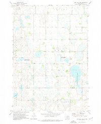
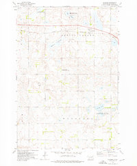
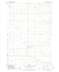
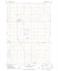
(28)- 1973 Map of Crocker SW, 1975 Print
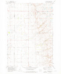 1973 Crocker SW1975 Print · USGSSpink and Clark Counties are captured here in the early 1970s, showcasing the rural township structure of the South Dakota prairie. Genealogists can locate civic landmarks like the Townhall and the Chicago and North Western rail line.
 - 1973 Map of Lily, 1976 Print
 1973 Lily1976 Print · USGSThe prairie landscape around Lily is shown here in the early 1970s, as the Chicago Milwaukee St Paul and Pacific railroad still traversed the township lines. Genealogists can locate several local burial sites including St Josephs Cem, Our Saviors Cem, and Hillside Cem.
 - 1973 Map of Swan Lake, 1976 Print
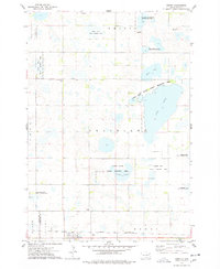
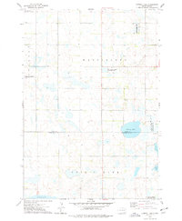
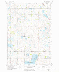 1973 Swan Lake1976 Print · USGSThe glacial wetlands of Day and Clark Counties come into focus during the early 1970s, showcasing a landscape dedicated to wildlife conservation. Search for local history at the Townhall or trace family sites at Hosanger Cem and the Highland Cem near Swan Lake.
 - 1973 Map of Bradley, 1976 Print
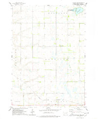
 1973 Bradley1976 Print · USGSIn the early 1970s, this area of Clark County remained a vital rail junction where two major lines intersected. Researchers can trace the rural infrastructure of Bradley, find the Townhall in Thorp, and locate landmarks like Calvary Ch and Reid Lake.
 - 1973 Map of Lone Tree Lake, 1976 Print
 1973 Lone Tree Lake1976 Print · USGSThe prairie wetlands of Day and Clark Counties are captured here in the early 1970s, showcasing a landscape dedicated to waterfowl conservation and rural farming. Genealogists and historians can locate the St Ansgar Cem and trace the early layouts of Crocker and Graves.
 - 1973 Map of Florence NW, 1976 Print
 1973 Florence NW1976 Print · USGSThe prairie wetlands of Day and Codington counties are captured in the early 1970s, showcasing a landscape of glacial potholes and remote township life. Researchers can locate vanished social centers like St Pauli Ch, the Townhall, and the Wheatland Cem.
 - 1973 Map of Wallace, 1976 Print
 1973 Wallace1976 Print · USGSNortheastern South Dakota's prairie potholes and rail-line settlements are meticulously captured during the early seventies. Genealogists and historians can locate the Telemarken Ch, the Lake Nicholson Cem, and the tracks of the Chicago and North Western at Wallace.
 - 1973 Map of Heggs Lake, 1976 Print
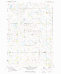
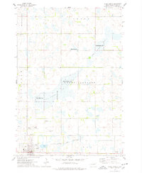
 1973 Heggs Lake1976 Print · USGSThe Clark County prairie in the mid-1970s was a hub for both rail transport and conservation efforts. Genealogists and historians can trace the town of Bradley and its important junction between the Chicago and North Western and the Milwaukee Road.
 - 1973 Map of Crocker, 1976 Print
 1973 Crocker1976 Print · USGSMid-century Clark County is mapped here as a network of prairie sloughs and small-town infrastructure. Genealogists and historians can trace the Chicago and North Western rail line through Crocker or locate the St Thomas Cem and local Townhall.
 - 1973 Map of Baileys Lake, 1978 Print
 1973 Baileys Lake1978 Print · USGSThe prairie wetlands of Clark County are captured here in the early seventies, showing a landscape of scattered farmsteads and rural townships. Genealogists and local historians can locate Clark Center Ch, the small community of Baily, and the Cem.
 - 1973 Map of Garden City, 1978 Print
 1973 Garden City1978 Print · USGSGarden City and the surrounding Clark County townships are captured in the early 1970s, showcasing a rural landscape defined by rail and water. Researchers can trace the Chicago and North Western line through Elrod or locate the Garden City Cem near Mankey Slough.
 - 1973 Map of Carpenter SE, 1978 Print
 1973 Carpenter SE1978 Print · USGSThe rural prairie landscape at the junction of Beadle, Clark, and Kingsbury Counties is captured here in the early seventies. Genealogists and local historians can trace the boundaries of Rosedale and Le Sueur townships or locate the Le Sueur Cem.
 - 1973 Map of Henry, 1978 Print
 1973 Henry1978 Print · USGSHenry and the surrounding Codington County prairie are shown here during the early 1970s, as the region balanced rail commerce with extensive wildlife conservation. Researchers can trace the Chicago and North Western rail line and locate rural sites like Graceland Ch Cem, Lorinda, and Boyd.
 - 1973 Map of Raymond, 1978 Print
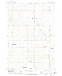
 1973 Raymond1978 Print · USGSSpink and Clark counties appear in the early 1970s as a structured landscape of prairie townships and rail-oriented settlement. Researchers can trace local history at the Prairie Valley Cem or follow the Chicago and North Western rail line through Raymond.
 - 1973 Map of Willow Lake, 1978 Print
 1973 Willow Lake1978 Print · USGSThe lakeside community of Willow Lake is captured here in the early seventies, surrounded by a expansive system of prairie wetlands and conservation areas. Researchers can trace rural life through landmarks like West Merton Cem, the B N rail line, and the Good Hope Ch.
 - 1973 Map of Clark South, 1978 Print
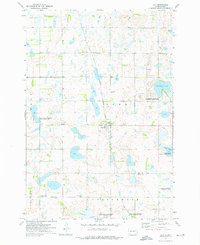
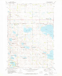
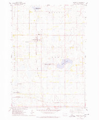
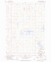
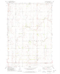
 1973 Clark South1978 Print · USGSThe town of Clark and the surrounding South Dakota prairie wetlands are captured here in the early seventies. Genealogists and local historians can trace section lines across Lincoln and Day townships or locate rural landmarks like the Townhall and Antelope Lake.
 - 1973 Map of Bryant, 1978 Print
 1973 Bryant1978 Print · USGSBryant sits at a vital railroad crossroads in the mid-1970s, surrounded by the wetlands and waterfowl production areas of eastern South Dakota. Researchers can locate early township cemeteries like St Marys Cem and trace the Milwaukee Road tracks.
 - 1973 Map of Clark North, 1978 Print
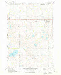
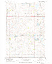
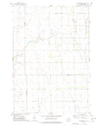
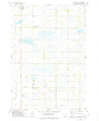
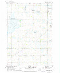
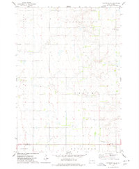
 1973 Clark North1978 Print · USGSThe eastern South Dakota prairie comes into focus in the early 1970s, centered on the wetlands and hunting grounds of Clark County. Researchers can trace local lineage and land use through Rose Hill Cemetery, the Chicago and North Western rail corridor, and the County Fairground.
 - 1973 Map of Carpenter, 1978 Print
 1973 Carpenter1978 Print · USGSEastern South Dakota’s agricultural heartland is documented here in the early seventies, showing a landscape defined by township grids and scattered rural communities. Genealogists and local historians can locate early burial sites at Union Cem and Richland Cem, or trace the small settlements of Richland and Carpenter.
 - 1973 Map of Vienna West, 1978 Print
 1973 Vienna West1978 Print · USGSThe Clark County prairies are captured here in the early 1970s, showing a landscape defined by rail junctions and extensive state conservation lands. Genealogists and historians can locate the Vienna Cem, trace the Burlington Northern line, or find the small settlement at Townhall.
 - 1973 Map of Cherry Lake, 1978 Print
 1973 Cherry Lake1978 Print · USGSThe Clark and Kingsbury county line was a mosaic of wetlands and conservation lands in the 1970s. Trace the boundaries of the Staden Slough State Public Shooting Area and find local landmarks like the Townhall and Plum Lake.
 - 1973 Map of Naples, 1978 Print
 1973 Naples1978 Print · USGSThe Clark County prairie comes into focus during the early 1970s as a hub for both rail transport and conservation. Genealogists and historians can trace the Milwaukee Road tracks and locate several local burial sites, including St Patricks Cem and South Elrod Cem.
 - 1973 Map of Willow Lake SW, 1978 Print
 1973 Willow Lake SW1978 Print · USGSThe eastern Dakotas are captured here in the early 1970s, showcasing a landscape of prairie wetlands and railroad-connected townships. Genealogists can trace family roots through sites like Collins Cem or Spirit Lake Ch Cem and the nearby Townhall.
 - 1973 Map of Raymond SE, 1978 Print
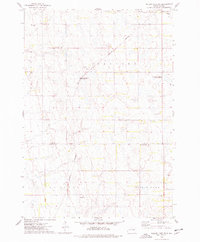
 1973 Raymond SE1978 Print · USGSAgricultural life in Clark County remains centered on the township grid in the early seventies. Genealogists and local historians can trace the foundations of the community through landmarks like Darlington Cem, the rural Townhall, and the path of Foster Creek.
 - 1973 Map of Carpenter NE, 1978 Print
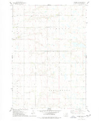
 1973 Carpenter NE1978 Print · USGSThe rural agricultural townships of Beadle and Clark counties come into focus during the early 1970s. Genealogists can locate family landmarks such as Bethlehem Ch, Hague Cem, and Woodland Cem among the section-line roads and creek beds.
Showing maps 1-25 of 28
Top cities of Clark County
- Clark historical maps
- Willow Lake historical maps
- Bradley historical maps
- Elrod historical maps
- Raymond historical maps
- Vienna historical maps
See more
Frequently asked questions
- What are the different types of historical maps available for Clark County?
- What is the oldest map of Clark County?
- Where can I purchase historical maps of Clark County for my home or office?
- Where can I download high-res historical maps of Clark County?
- Are there historical topographic maps available for Clark County?
- Is there historical aerial imagery available for Clark County?
- Where are historical maps of Clark County sourced from?