2000s (21st Century) Maps of Vienna, South Dakota
Explore 8 historic maps of Vienna from the 2000s (21st Century). These maps offer a rare glimpse into what life looked like during the 2000s — showing old roads, neighborhoods, homes, and landmarks that have changed or disappeared over time.
Whether you're researching your family's past, planning a metal detecting trip, or studying how Vienna's landscape evolved across the 2000s, these high-resolution maps are a powerful tool for exploring the history of this region.
- Focus on a specific era: All maps on this page are from the 2000s, giving you a focused view of this time period.
- See what’s changed: Compare century-old streets, trails, and buildings to today's modern landscape using overlays and satellite layers.
- Research with precision: Use these maps for genealogy, historical research, land use analysis, or educational projects.
- View, download, or print: Maps are fully viewable online in high resolution, and can be downloaded or printed for your own records.
Start exploring Vienna's history through authentic maps from the 2000s. This is your window into the past.
Vienna, SD maps
(8)- 2012 Map of Vienna East, 2012 Print
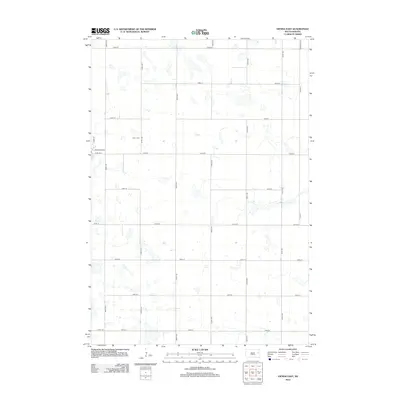 2012 Vienna East2012 Print · USGSCovers Vienna, including Brantford Township, Dixon Township, and other nearby areas
 - 2012 Map of Vienna West, 2012 Print
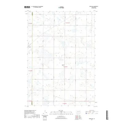
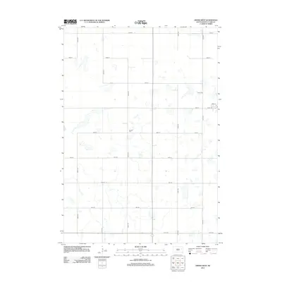 2012 Vienna West2012 Print · USGSCovers Vienna, including Mayfield Hutterite Colony, Clark County, and other nearby areas
 - 2015 Map of Vienna West, 2015 Print
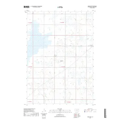
 2015 Vienna West2015 Print · USGSCovers Vienna, including Mayfield Hutterite Colony, Clark County, and other nearby areas
 - 2015 Map of Vienna East, 2015 Print
 2015 Vienna East2015 Print · USGSCovers Vienna, including Brantford Township, Dixon Township, and other nearby areas
 - 2017 Map of Vienna East, 2017 Print
 2017 Vienna East2017 Print · USGSCovers Vienna, including Brantford Township, Dixon Township, and other nearby areas
 - 2017 Map of Vienna West, 2017 Print
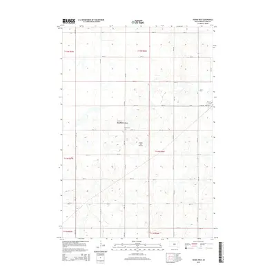
 2017 Vienna West2017 Print · USGSCovers Vienna, including Mayfield Hutterite Colony, Clark County, and other nearby areas
 - 2021 Map of Vienna West, 2021 Print
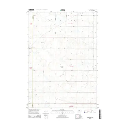
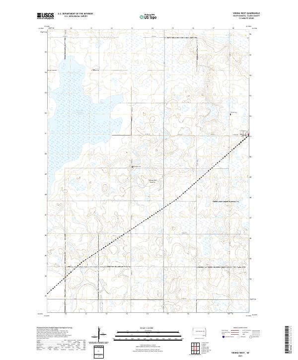 2021 Vienna West2021 Print · USGSThe agricultural plains of Clark County appear in the early 21st century as a landscape defined by the Coteau des Prairies and its glacial wetlands. Researchers can trace the town of Vienna and locate local landmarks like Pleasant Cem and Dry Lake Number Two.
 - 2021 Map of Vienna East, 2021 Print
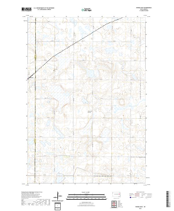 2021 Vienna East2021 Print · USGSThe prairie wetlands of Hamlin and Clark Counties are shown in the early twenty-first century, just as the local grid reached its modern extent. Genealogists and researchers can locate the Dixon Cem and trace the rural roads around the settlement of Vienna.
End of results
Showing maps 1-8 of 8
Top cities near Vienna
- Clark historical maps
- Bryant historical maps
- Willow Lake historical maps
- Henry historical maps
- Hazel historical maps
- Elrod historical maps
See more
Frequently asked questions
- What are the different types of historical maps available for Vienna?
- What is the oldest map of Vienna?
- Where can I purchase historical maps of Vienna for my home or office?
- Where can I download high-res historical maps of Vienna?
- Are there historical topographic maps available for Vienna?
- Is there historical aerial imagery available for Vienna?
- Where are historical maps of Vienna sourced from?