Old Maps of Vienna, South Dakota for Hiking & Exploration
Hike through history with 13 historic maps of Vienna. Explore old trails, ghost towns, and forgotten backroads — perfect for outdoor adventurers and local explorers.
- Rediscover forgotten places: Map out old mining camps, roads, and footpaths that no longer exist on modern maps.
- Layer with modern tools: Combine with LiDAR or satellite views to plan hikes through historical terrain.
- Made for exploration: Popular among hikers, overlanders, and local history lovers.
Use these maps to find adventure and explore the hidden past of Vienna.
Vienna, SD maps
(13)- 1953 Map of Watertown, 1968 Print
 1953 Watertown1968 Print · USGSEastern South Dakota and the Minnesota borderlands are captured here during the mid-twentieth century as the region's agricultural and rail-service centers thrived. Genealogists and local historians can trace family-named sites across the Coteau des Prairies and find landmarks in Watertown, De Smet, and Brookings.3 unique versions available
 - 1958 Map of Watertown
 1958 Watertown1958 Print · USGSThe eastern South Dakota prairie and the Minnesota borderlands are captured here in the late fifties, showcasing a landscape of terminal moraine lakes and burgeoning rail hubs. Genealogists and historians can trace the early paths of the Chicago and North Western railroad or locate family roots in Watertown, Clark, or the Sisseton Indian Reservation.2 unique versions available
 - 1973 Map of Vienna West, 1978 Print
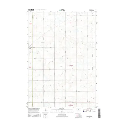
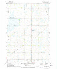 1973 Vienna West1978 Print · USGSThe Clark County prairies are captured here in the early 1970s, showing a landscape defined by rail junctions and extensive state conservation lands. Genealogists and historians can locate the Vienna Cem, trace the Burlington Northern line, or find the small settlement at Townhall.
 - 1973 Map of Vienna East, 1978 Print
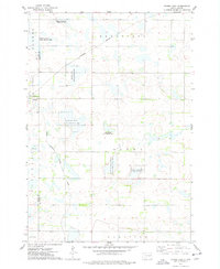 1973 Vienna East1978 Print · USGSRail lines and wildlife conservation areas define this part of Hamlin County in the early 1970s. Researchers can locate the Dixon Cem, the settlement of Vienna, and numerous hunting grounds like the Rasmussen State Public Shooting Area.
 - 1985 Map of Watertown
 1985 Watertown1985 Print · USGSEastern South Dakota in the mid-eighties remains a landscape of expansive prairie wetlands and agricultural rail towns. Genealogists and local historians can trace the routes of the CHICAGO AND NORTH WESTERN railroad through Garden City, Vienna, and Watertown.2 unique versions available
 - 2012 Map of Vienna East, 2012 Print
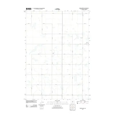
 2012 Vienna East2012 Print · USGSCovers Vienna, including Brantford Township, Dixon Township, and other nearby areas
 - 2012 Map of Vienna West, 2012 Print
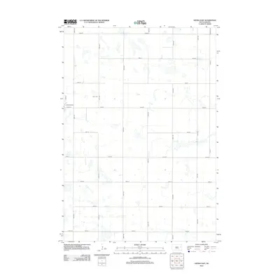
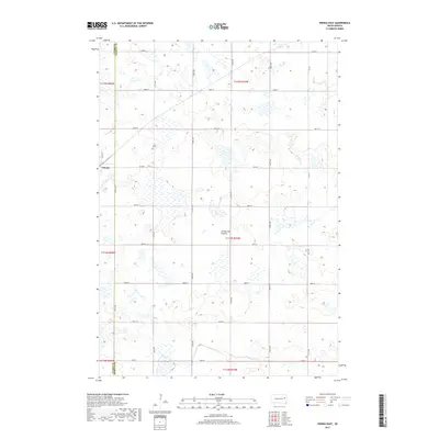
 2012 Vienna West2012 Print · USGSCovers Vienna, including Mayfield Hutterite Colony, Clark County, and other nearby areas
 - 2015 Map of Vienna West, 2015 Print
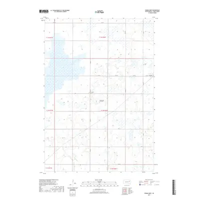
 2015 Vienna West2015 Print · USGSCovers Vienna, including Mayfield Hutterite Colony, Clark County, and other nearby areas
 - 2015 Map of Vienna East, 2015 Print
 2015 Vienna East2015 Print · USGSCovers Vienna, including Brantford Township, Dixon Township, and other nearby areas
 - 2017 Map of Vienna East, 2017 Print
 2017 Vienna East2017 Print · USGSCovers Vienna, including Brantford Township, Dixon Township, and other nearby areas
 - 2017 Map of Vienna West, 2017 Print
 2017 Vienna West2017 Print · USGSCovers Vienna, including Mayfield Hutterite Colony, Clark County, and other nearby areas
 - 2021 Map of Vienna West, 2021 Print
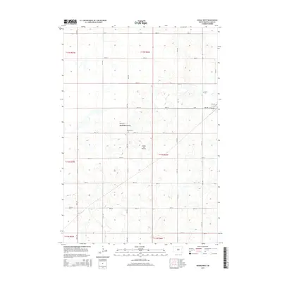
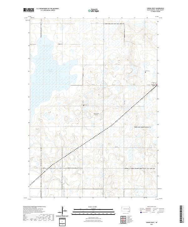 2021 Vienna West2021 Print · USGSThe agricultural plains of Clark County appear in the early 21st century as a landscape defined by the Coteau des Prairies and its glacial wetlands. Researchers can trace the town of Vienna and locate local landmarks like Pleasant Cem and Dry Lake Number Two.
 - 2021 Map of Vienna East, 2021 Print
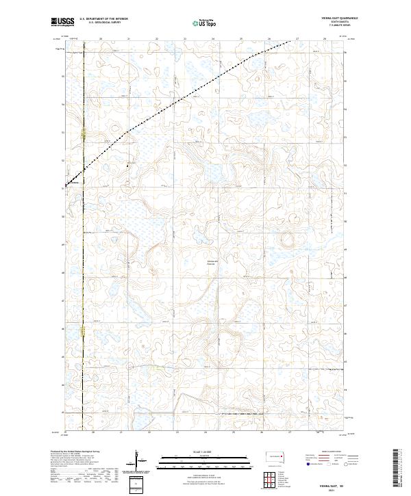 2021 Vienna East2021 Print · USGSThe prairie wetlands of Hamlin and Clark Counties are shown in the early twenty-first century, just as the local grid reached its modern extent. Genealogists and researchers can locate the Dixon Cem and trace the rural roads around the settlement of Vienna.
End of results
Showing maps 1-13 of 13
Top cities near Vienna
- Clark historical maps
- Bryant historical maps
- Willow Lake historical maps
- Henry historical maps
- Hazel historical maps
- Elrod historical maps
See more
Frequently asked questions
- What are the different types of historical maps available for Vienna?
- What is the oldest map of Vienna?
- Where can I purchase historical maps of Vienna for my home or office?
- Where can I download high-res historical maps of Vienna?
- Are there historical topographic maps available for Vienna?
- Is there historical aerial imagery available for Vienna?
- Where are historical maps of Vienna sourced from?