Old Maps of Phipps Township, South Dakota for Metal Detecting
Plan your next treasure hunt with 26 historic maps of Phipps Township. Find old homesites, ghost towns, trails, and gathering spots that may be lost to time — perfect for identifying promising metal detecting locations.
- Locate forgotten sites: Uncover places like long-lost settlements, abandoned rail lines, or gathering spots.
- Plan better hunts: Use map overlays combined with LiDAR or satellite views to narrow in on historically rich areas.
- Made for detectorists: Thousands of hobbyists use these maps to discover relics, coins, and hidden history.
Use these historic maps to boost your research and find new opportunities beneath the surface of Phipps Township.
Phipps Township, SD maps
(26)- 1953 Map of Milbank, 1958 Print
 1953 Milbank1958 Print · USGSThe tri-state border region of South Dakota, North Dakota, and Minnesota is shown here during the early fifties, a landscape defined by glacial lakes and the Sisseton Indian Reservation. Researchers can trace the legacy of the western railroads, locating old stops along the Great Northern and settlements like Milbank, Webster, and Sisseton.3 unique versions available
 - 1953 Map of Watertown, 1968 Print
 1953 Watertown1968 Print · USGSEastern South Dakota and the Minnesota borderlands are captured here during the mid-twentieth century as the region's agricultural and rail-service centers thrived. Genealogists and local historians can trace family-named sites across the Coteau des Prairies and find landmarks in Watertown, De Smet, and Brookings.3 unique versions available
 - 1958 Map of Milbank
 1958 Milbank1958 Print · USGSThe northern Great Plains in the late fifties show a landscape of glacial lakes and reservation lands shaped by the Great Northern railroad. Genealogists and local historians can trace the grid of settlements from Britton to Milbank and locate landmarks like Enemy Swim Lake and the Sisseton Indian Reservation.
 - 1958 Map of Watertown
 1958 Watertown1958 Print · USGSThe eastern South Dakota prairie and the Minnesota borderlands are captured here in the late fifties, showcasing a landscape of terminal moraine lakes and burgeoning rail hubs. Genealogists and historians can trace the early paths of the Chicago and North Western railroad or locate family roots in Watertown, Clark, or the Sisseton Indian Reservation.2 unique versions available
 - 1973 Map of Florence, 1976 Print
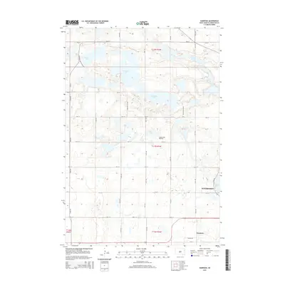
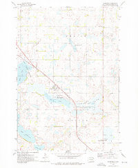 1973 Florence1976 Print · USGSThe town of Florence and its prairie pothole landscape are captured here in the early 1970s. Local researchers can trace the Chicago and North Western rail line and locate family landmarks like Dexter Cem and Helger Cem.
 - 1973 Map of Wallace, 1976 Print
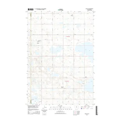
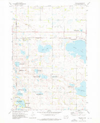 1973 Wallace1976 Print · USGSNortheastern South Dakota's prairie potholes and rail-line settlements are meticulously captured during the early seventies. Genealogists and historians can locate the Telemarken Ch, the Lake Nicholson Cem, and the tracks of the Chicago and North Western at Wallace.
 - 1973 Map of Henry, 1978 Print
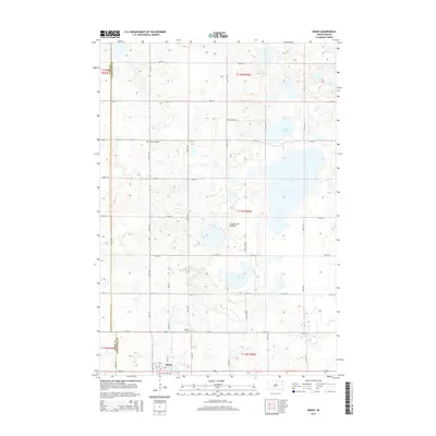
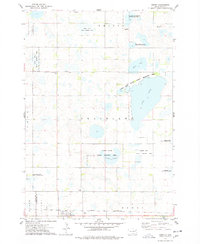 1973 Henry1978 Print · USGSHenry and the surrounding Codington County prairie are shown here during the early 1970s, as the region balanced rail commerce with extensive wildlife conservation. Researchers can trace the Chicago and North Western rail line and locate rural sites like Graceland Ch Cem, Lorinda, and Boyd.
 - 1973 Map of Kampeska, 1978 Print
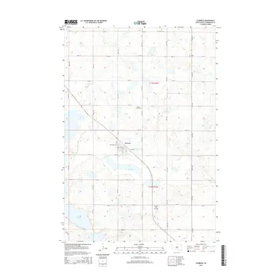
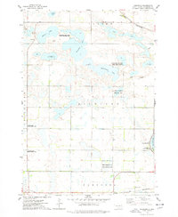 1973 Kampeska1978 Print · USGSCodington County in the early seventies shows a landscape defined by glacial lakes and conservation areas west of the growing hub of Watertown. Genealogists and outdoor historians can trace old property lines and landmarks like Kampeska, Lynwood State Public Access Area, and the Chicago and North Western line.
 - 1985 Map of Webster
 1985 Webster1985 Print · USGSNortheastern South Dakota in the mid-eighties reveals a landscape of prairie potholes and rail-line towns centered on the Webster region. Genealogists and historians can trace rail-town development along the Burlington Northern and find early conservation boundaries like the Waubay National Wildlife Refuge.2 unique versions available
 - 1985 Map of Watertown
 1985 Watertown1985 Print · USGSEastern South Dakota in the mid-eighties remains a landscape of expansive prairie wetlands and agricultural rail towns. Genealogists and local historians can trace the routes of the CHICAGO AND NORTH WESTERN railroad through Garden City, Vienna, and Watertown.2 unique versions available
 - 2012 Map of Wallace, 2012 Print
 2012 Wallace2012 Print · USGSCovers Phipps Township, including Wallace, Eden Township, and other nearby areas
 - 2012 Map of Henry, 2012 Print
 2012 Henry2012 Print · USGSCovers Phipps Township, including Henry, Henry Township, and other nearby areas
 - 2012 Map of Kampeska, 2012 Print
 2012 Kampeska2012 Print · USGSCovers Phipps Township, including Watertown, Kampeska, and other nearby areas
 - 2012 Map of Florence, 2012 Print
 2012 Florence2012 Print · USGSCovers Phipps Township, including Florence, Eden Township, and other nearby areas
 - 2015 Map of Florence, 2015 Print
 2015 Florence2015 Print · USGSCovers Phipps Township, including Florence, Eden Township, and other nearby areas
 - 2015 Map of Wallace, 2015 Print
 2015 Wallace2015 Print · USGSCovers Phipps Township, including Wallace, Eden Township, and other nearby areas
 - 2015 Map of Henry, 2015 Print
 2015 Henry2015 Print · USGSCovers Phipps Township, including Henry, Henry Township, and other nearby areas
 - 2015 Map of Kampeska, 2015 Print
 2015 Kampeska2015 Print · USGSCovers Phipps Township, including Watertown, Kampeska, and other nearby areas
 - 2017 Map of Henry, 2017 Print
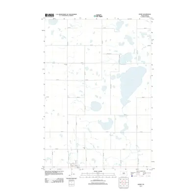
 2017 Henry2017 Print · USGSCovers Phipps Township, including Henry, Henry Township, and other nearby areas
 - 2017 Map of Kampeska, 2017 Print
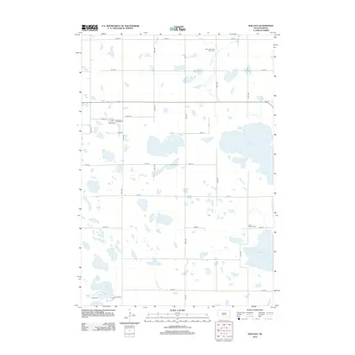
 2017 Kampeska2017 Print · USGSCovers Phipps Township, including Watertown, Kampeska, and other nearby areas
 - 2017 Map of Florence, 2017 Print
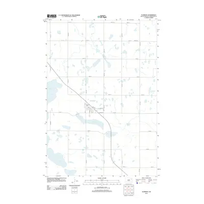
 2017 Florence2017 Print · USGSCovers Phipps Township, including Florence, Eden Township, and other nearby areas
 - 2017 Map of Wallace, 2017 Print
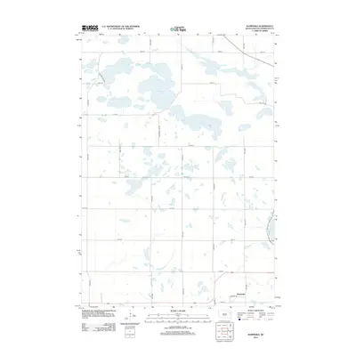
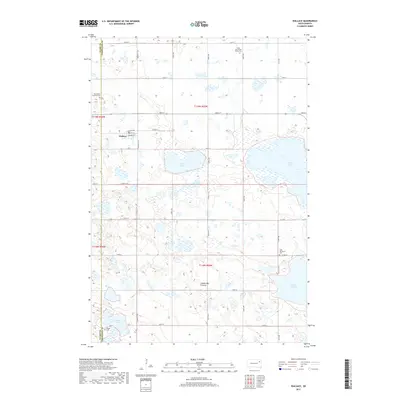 2017 Wallace2017 Print · USGSCovers Phipps Township, including Wallace, Eden Township, and other nearby areas
 - 2021 Map of Henry, 2021 Print
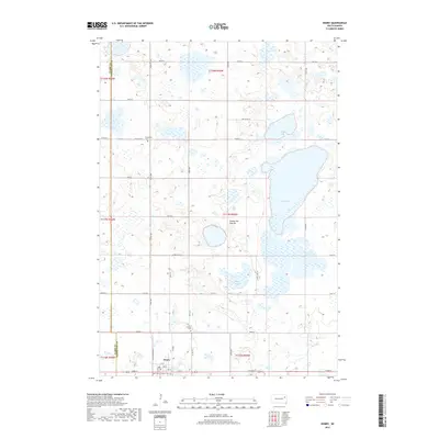
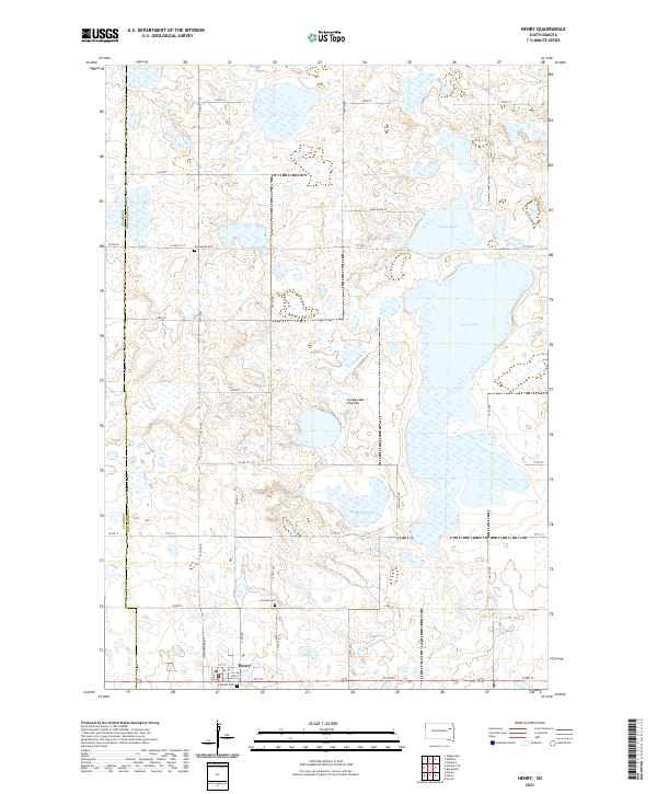 2021 Henry2021 Print · USGSCodington County at the start of the 2020s shows a landscape of glacial prairie lakes and settled family farmsteads. Researchers can trace local roots at Saint Henry Catholic Cem or explore the water boundaries of Long Lake and Stink Lake.
 - 2021 Map of Florence, 2021 Print
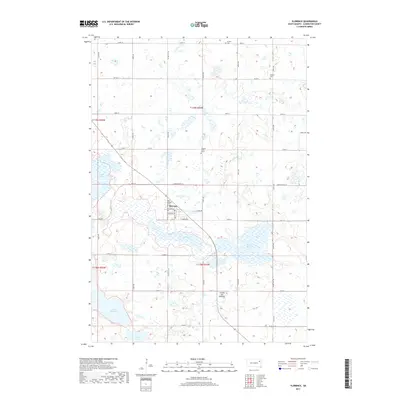
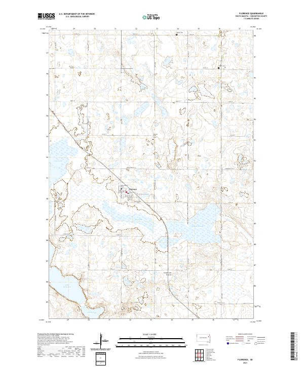 2021 Florence2021 Print · USGSThe Codington County prairie surrounding Florence is documented here during the early twenty-first century. Genealogists and local historians can locate specific burial sites like New Helgen Cem and the solitary Gautsch Child Grave near Dry Lake.
 - 2021 Map of Kampeska, 2021 Print
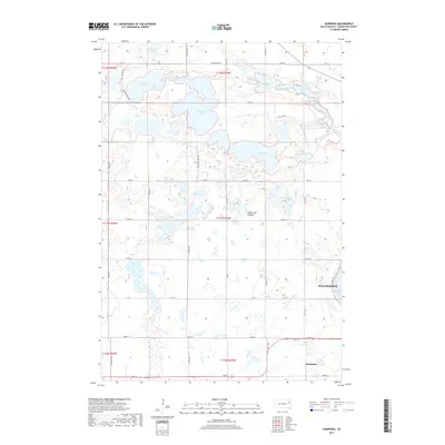
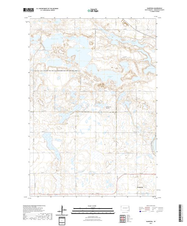 2021 Kampeska2021 Print · USGSCovers Phipps Township, including Watertown, Kampeska, and other nearby areas
Showing maps 1-25 of 26
Top cities near Phipps Township
- Watertown historical maps
- Florence historical maps
- Kampeska historical maps
- Henry historical maps
- Bradley historical maps
- Wallace historical maps
See more
Frequently asked questions
- What are the different types of historical maps available for Phipps Township?
- What is the oldest map of Phipps Township?
- Where can I purchase historical maps of Phipps Township for my home or office?
- Where can I download high-res historical maps of Phipps Township?
- Are there historical topographic maps available for Phipps Township?
- Is there historical aerial imagery available for Phipps Township?
- Where are historical maps of Phipps Township sourced from?