2000s (21st Century) Maps of Waverly Township, South Dakota
Explore 16 historic maps of Waverly Township from the 2000s (21st Century). These maps offer a rare glimpse into what life looked like during the 2000s — showing old roads, neighborhoods, homes, and landmarks that have changed or disappeared over time.
Whether you're researching your family's past, planning a metal detecting trip, or studying how Waverly Township's landscape evolved across the 2000s, these high-resolution maps are a powerful tool for exploring the history of this region.
- Focus on a specific era: All maps on this page are from the 2000s, giving you a focused view of this time period.
- See what’s changed: Compare century-old streets, trails, and buildings to today's modern landscape using overlays and satellite layers.
- Research with precision: Use these maps for genealogy, historical research, land use analysis, or educational projects.
- View, download, or print: Maps are fully viewable online in high resolution, and can be downloaded or printed for your own records.
Start exploring Waverly Township's history through authentic maps from the 2000s. This is your window into the past.
Waverly Township, SD maps
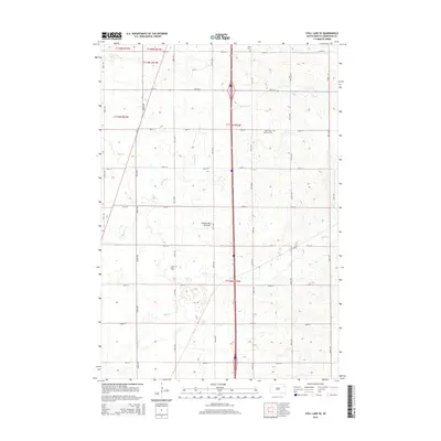
(16)- 2012 Map of South Shore, 2012 Print
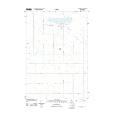 2012 South Shore2012 Print · USGSCovers Waverly Township, including South Shore, Leola Township, and other nearby areas
 - 2012 Map of Kranzburg, 2012 Print
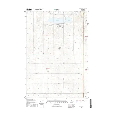
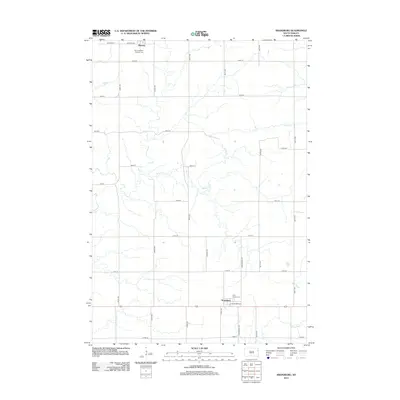 2012 Kranzburg2012 Print · USGSCovers Waverly Township, including Waverly, Kranzburg, and other nearby areas
 - 2012 Map of Still Lake SE, 2012 Print
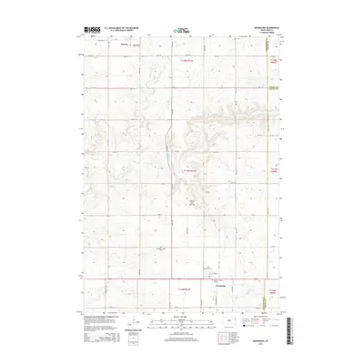
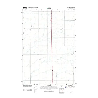 2012 Still Lake SE2012 Print · USGSCovers Waverly Township, including Germantown Township, Enemy Swim District, and other nearby areas
 - 2012 Map of Watertown East, 2012 Print
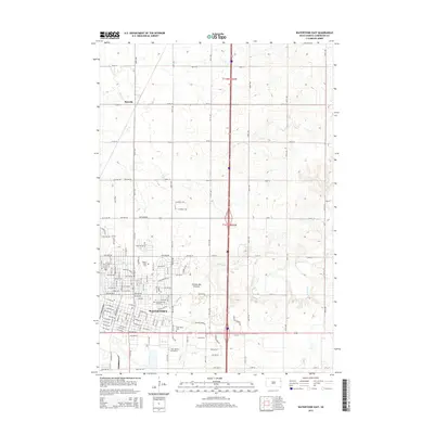
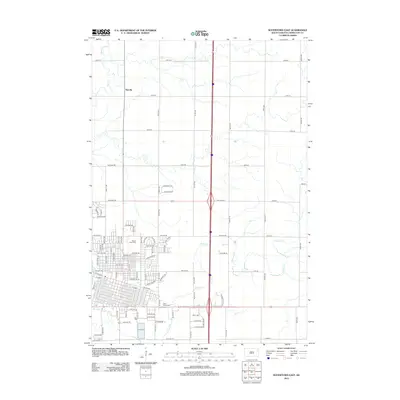 2012 Watertown East2012 Print · USGSCovers Waverly Township, including Watertown, Rauville, and other nearby areas
 - 2015 Map of Watertown East, 2015 Print
 2015 Watertown East2015 Print · USGSCovers Waverly Township, including Watertown, Rauville, and other nearby areas
 - 2015 Map of Still Lake SE, 2015 Print
 2015 Still Lake SE2015 Print · USGSCovers Waverly Township, including Germantown Township, Enemy Swim District, and other nearby areas
 - 2015 Map of South Shore, 2015 Print
 2015 South Shore2015 Print · USGSCovers Waverly Township, including South Shore, Leola Township, and other nearby areas
 - 2015 Map of Kranzburg, 2015 Print
 2015 Kranzburg2015 Print · USGSCovers Waverly Township, including Waverly, Kranzburg, and other nearby areas
 - 2017 Map of Watertown East, 2017 Print
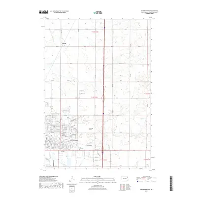 2017 Watertown East2017 Print · USGSCovers Waverly Township, including Watertown, Rauville, and other nearby areas
 - 2017 Map of Still Lake SE, 2017 Print
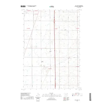 2017 Still Lake SE2017 Print · USGSCovers Waverly Township, including Germantown Township, Enemy Swim District, and other nearby areas
 - 2017 Map of South Shore, 2017 Print
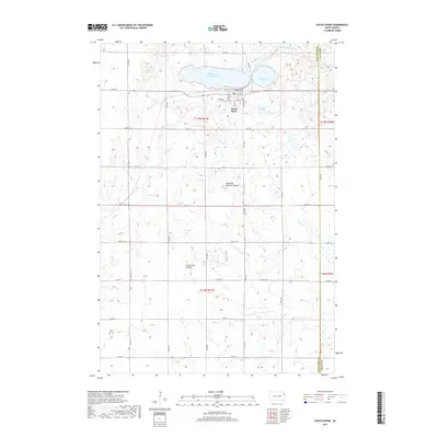 2017 South Shore2017 Print · USGSCovers Waverly Township, including South Shore, Leola Township, and other nearby areas
 - 2017 Map of Kranzburg, 2017 Print
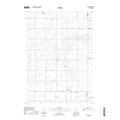 2017 Kranzburg2017 Print · USGSCovers Waverly Township, including Waverly, Kranzburg, and other nearby areas
 - 2021 Map of South Shore, 2021 Print
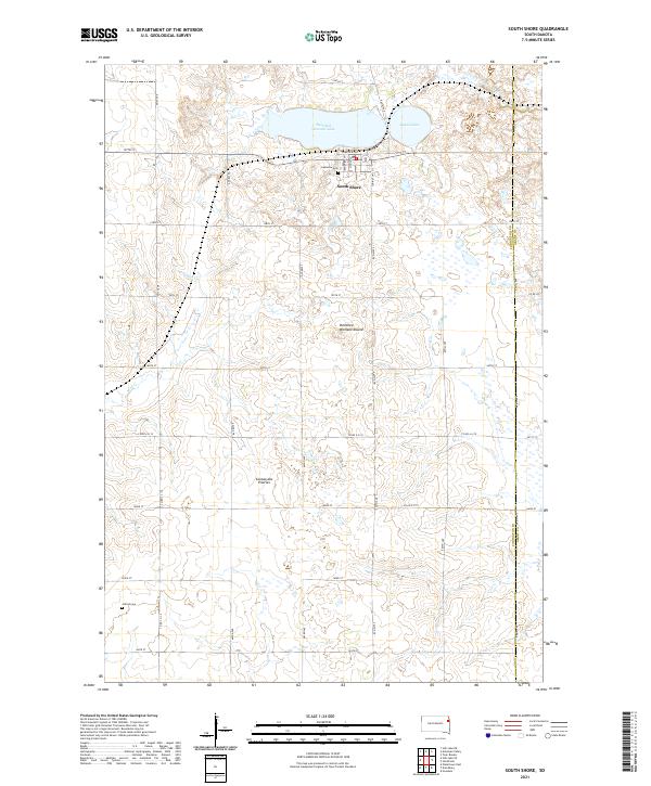 2021 South Shore2021 Print · USGSSouth Shore and the surrounding glacial plateau of the Coteau des Prairies are documented here in the modern era. Genealogists can locate specific sites like Lakeview Cem and Jellis Grave, or trace the shoreline of Punished Womans Lake.
 - 2021 Map of Kranzburg, 2021 Print
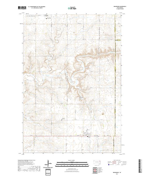 2021 Kranzburg2021 Print · USGSThe glacial highlands of eastern South Dakota are captured here in a moment of modern agricultural continuity. Genealogists can locate family landmarks like Spooner Children Graves, Schneider's Grove Cem, and the parish grounds of Waverly.
 - 2021 Map of Watertown East, 2021 Print
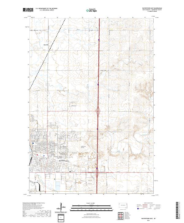 2021 Watertown East2021 Print · USGSWatertown and the surrounding Codington County prairie come into focus in this recent survey. Local researchers can trace the city's civic core around the Codington County Courthouse or locate family sites at Mount Hope Cemetery and Saint Marys Cemetery.
 - 2021 Map of Still Lake SE, 2021 Print
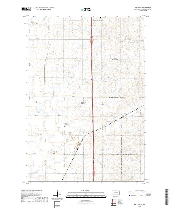 2021 Still Lake SE2021 Print · USGSIn the heart of the eastern South Dakota plains, this recent survey documents the enduring agricultural landscape and rural community hubs. Genealogists can locate several local burial sites, including the Klix Cem and Saint Lukes Lutheran Cem.
End of results
Showing maps 1-16 of 16
Top cities near Waverly Township
- Watertown historical maps
- Rauville historical maps
- South Shore historical maps
- Waverly historical maps
- Kranzburg historical maps
- Goodwin historical maps
See more
Top neighborhoods of Waverly Township
Frequently asked questions
- What are the different types of historical maps available for Waverly Township?
- What is the oldest map of Waverly Township?
- Where can I purchase historical maps of Waverly Township for my home or office?
- Where can I download high-res historical maps of Waverly Township?
- Are there historical topographic maps available for Waverly Township?
- Is there historical aerial imagery available for Waverly Township?
- Where are historical maps of Waverly Township sourced from?