Old Maps of Waverly Township, South Dakota for Academic Research
Study the evolution of Waverly Township with 28 high-resolution historic maps. Whether you're teaching, researching, or modeling changes in land use, these maps provide essential visual documentation of urban, environmental, and geographic change.
- Analyze long-term change: Track patterns in development, transportation, and natural features.
- Ideal for environmental or urban studies: Support academic projects with primary historical map data.
- Use in the classroom or lab: Educators and researchers rely on these maps to bring historical context to life.
These maps are a powerful tool for teaching, research, and visualizing how Waverly Township has changed over the decades.
Waverly Township, SD maps
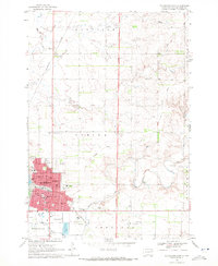
(28)- 1953 Map of Milbank, 1958 Print
 1953 Milbank1958 Print · USGSThe tri-state border region of South Dakota, North Dakota, and Minnesota is shown here during the early fifties, a landscape defined by glacial lakes and the Sisseton Indian Reservation. Researchers can trace the legacy of the western railroads, locating old stops along the Great Northern and settlements like Milbank, Webster, and Sisseton.3 unique versions available
 - 1953 Map of Watertown, 1968 Print
 1953 Watertown1968 Print · USGSEastern South Dakota and the Minnesota borderlands are captured here during the mid-twentieth century as the region's agricultural and rail-service centers thrived. Genealogists and local historians can trace family-named sites across the Coteau des Prairies and find landmarks in Watertown, De Smet, and Brookings.3 unique versions available
 - 1958 Map of Milbank
 1958 Milbank1958 Print · USGSThe northern Great Plains in the late fifties show a landscape of glacial lakes and reservation lands shaped by the Great Northern railroad. Genealogists and local historians can trace the grid of settlements from Britton to Milbank and locate landmarks like Enemy Swim Lake and the Sisseton Indian Reservation.
 - 1958 Map of Watertown
 1958 Watertown1958 Print · USGSThe eastern South Dakota prairie and the Minnesota borderlands are captured here in the late fifties, showcasing a landscape of terminal moraine lakes and burgeoning rail hubs. Genealogists and historians can trace the early paths of the Chicago and North Western railroad or locate family roots in Watertown, Clark, or the Sisseton Indian Reservation.2 unique versions available
 - 1969 Map of Watertown East, 1972 Print
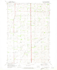
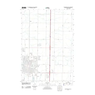
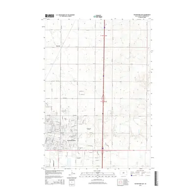
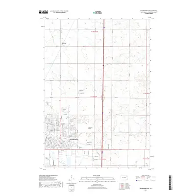
 1969 Watertown East1972 Print · USGSThe city of Watertown expands across the Codington County landscape during the late sixties. Trace the city’s development and rail history through Mt Hope Cemetery, the Big Sioux River, and the Burlington Northern line.
 - 1970 Map of Kranzburg, 1972 Print
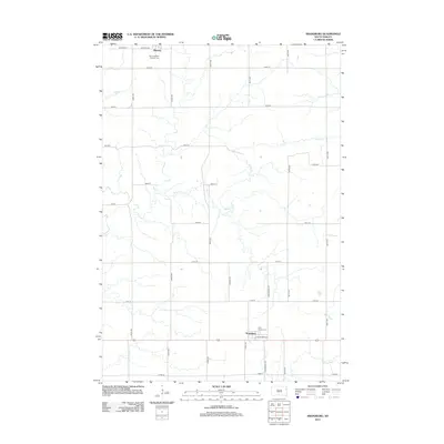
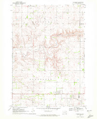 1970 Kranzburg1972 Print · USGSCodington County was established as a productive farming region by the 1970s, as shown in this detailed survey of the prairie landscape. Researchers can trace the Old Railroad Grade and locate family landmarks like Holy Rosary Cem and St Josephs Cem.
 - 1970 Map of Still Lake SE, 1973 Print
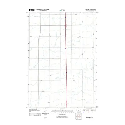
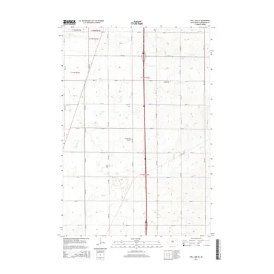
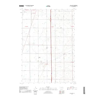
 1970 Still Lake SE1973 Print · USGSCodington County in the early 1970s is shown here as a landscape of grid-patterned townships and prairie drainage. Genealogists can locate family landmarks like St Johns Ch, Townhall, and the Henricks Landing Strip along the Burlington Northern line.
 - 1973 Map of South Shore, 1976 Print
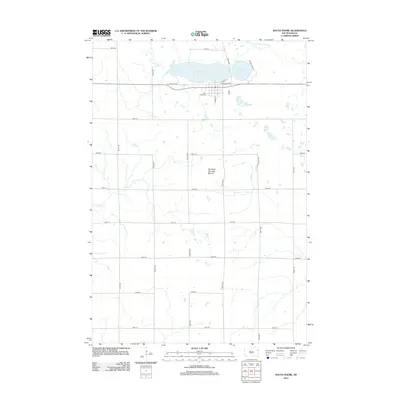
 1973 South Shore1976 Print · USGSThe prairie landscape of Codington County is captured here in the early 1970s, showcasing a region defined by its glacial lakes and railroad corridors. Researchers can trace the early layout of South Shore and Waverly or locate landmarks like Punished Womans Mound and the Old Railroad Grade.
 - 1985 Map of Clear Lake
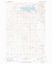
 1985 Clear Lake1985 Print · USGSThe South Dakota and Minnesota borderlands are captured here in the mid-eighties as a landscape of prairie towns and wildlife refuges. Researchers can trace the legacy of regional transport through the Chicago and North Western tracks and the Old Railroad Grade.2 unique versions available
 - 1985 Map of Webster
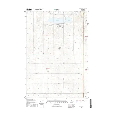
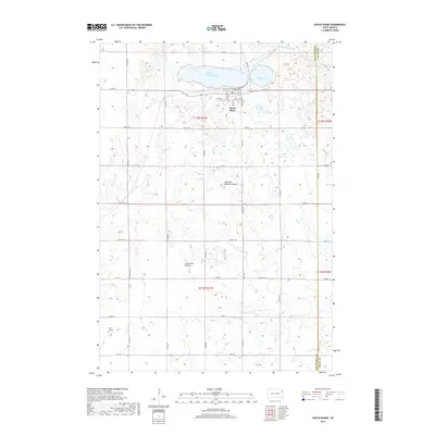
 1985 Webster1985 Print · USGSNortheastern South Dakota in the mid-eighties reveals a landscape of prairie potholes and rail-line towns centered on the Webster region. Genealogists and historians can trace rail-town development along the Burlington Northern and find early conservation boundaries like the Waubay National Wildlife Refuge.2 unique versions available
 - 1985 Map of Milbank
 1985 Milbank1985 Print · USGSThe South Dakota and Minnesota border region comes into focus during the mid-eighties as a hub of prairie lakes and rail transport. Genealogists and researchers can trace the lakeside settlements of Hiawatha Beach, the streets of Milbank, and legacy rail lines like the Burlington Northern.
 - 1985 Map of Watertown
 1985 Watertown1985 Print · USGSEastern South Dakota in the mid-eighties remains a landscape of expansive prairie wetlands and agricultural rail towns. Genealogists and local historians can trace the routes of the CHICAGO AND NORTH WESTERN railroad through Garden City, Vienna, and Watertown.2 unique versions available
 - 2012 Map of South Shore, 2012 Print
 2012 South Shore2012 Print · USGSCovers Waverly Township, including South Shore, Leola Township, and other nearby areas
 - 2012 Map of Kranzburg, 2012 Print
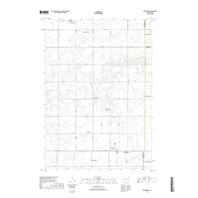
 2012 Kranzburg2012 Print · USGSCovers Waverly Township, including Waverly, Kranzburg, and other nearby areas
 - 2012 Map of Still Lake SE, 2012 Print
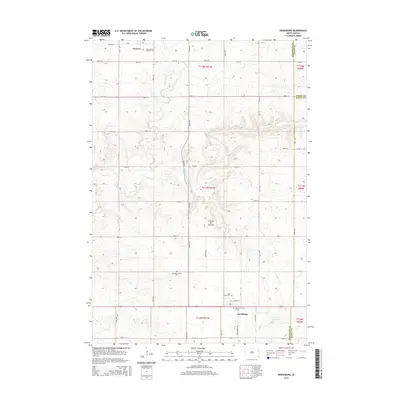
 2012 Still Lake SE2012 Print · USGSCovers Waverly Township, including Germantown Township, Enemy Swim District, and other nearby areas
 - 2012 Map of Watertown East, 2012 Print
 2012 Watertown East2012 Print · USGSCovers Waverly Township, including Watertown, Rauville, and other nearby areas
 - 2015 Map of Watertown East, 2015 Print
 2015 Watertown East2015 Print · USGSCovers Waverly Township, including Watertown, Rauville, and other nearby areas
 - 2015 Map of Still Lake SE, 2015 Print
 2015 Still Lake SE2015 Print · USGSCovers Waverly Township, including Germantown Township, Enemy Swim District, and other nearby areas
 - 2015 Map of South Shore, 2015 Print
 2015 South Shore2015 Print · USGSCovers Waverly Township, including South Shore, Leola Township, and other nearby areas
 - 2015 Map of Kranzburg, 2015 Print
 2015 Kranzburg2015 Print · USGSCovers Waverly Township, including Waverly, Kranzburg, and other nearby areas
 - 2017 Map of Watertown East, 2017 Print
 2017 Watertown East2017 Print · USGSCovers Waverly Township, including Watertown, Rauville, and other nearby areas
 - 2017 Map of Still Lake SE, 2017 Print
 2017 Still Lake SE2017 Print · USGSCovers Waverly Township, including Germantown Township, Enemy Swim District, and other nearby areas
 - 2017 Map of South Shore, 2017 Print
 2017 South Shore2017 Print · USGSCovers Waverly Township, including South Shore, Leola Township, and other nearby areas
 - 2017 Map of Kranzburg, 2017 Print
 2017 Kranzburg2017 Print · USGSCovers Waverly Township, including Waverly, Kranzburg, and other nearby areas
 - 2021 Map of South Shore, 2021 Print
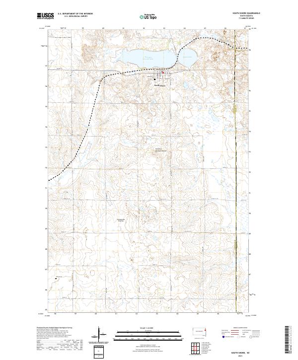 2021 South Shore2021 Print · USGSSouth Shore and the surrounding glacial plateau of the Coteau des Prairies are documented here in the modern era. Genealogists can locate specific sites like Lakeview Cem and Jellis Grave, or trace the shoreline of Punished Womans Lake.
Showing maps 1-25 of 28
Top cities near Waverly Township
- Watertown historical maps
- Rauville historical maps
- South Shore historical maps
- Waverly historical maps
- Kranzburg historical maps
- Goodwin historical maps
See more
Top neighborhoods of Waverly Township
Frequently asked questions
- What are the different types of historical maps available for Waverly Township?
- What is the oldest map of Waverly Township?
- Where can I purchase historical maps of Waverly Township for my home or office?
- Where can I download high-res historical maps of Waverly Township?
- Are there historical topographic maps available for Waverly Township?
- Is there historical aerial imagery available for Waverly Township?
- Where are historical maps of Waverly Township sourced from?