Old Maps of Morristown, Rock Creek District for Genealogy
Trace your family roots with 9 historic maps of Morristown. These high-res maps reveal old neighborhoods, homesites, landmarks, and streets — helping you uncover where your ancestors lived and how the area evolved over time.
- Explore historic neighborhoods: Identify where your relatives may have lived in the 1800s or 1900s.
- Compare maps over time: Trace the changes in streets, buildings, and landmarks for multi-generational research.
- Perfect for genealogy & ancestry research: Used by family historians and researchers to map out lineage and migration.
These maps are an incredible resource for exploring your personal connection to Morristown's past.
Morristown, Rock Creek District maps
(9)- 1953 Map of McIntosh, 1965 Print
 1953 McIntosh1965 Print · USGSThe north-central Dakota prairie is captured here during the mid-fifties, showing the vast Standing Rock Indian Reservation and the newly formed Oah E Reservoir. Genealogists and historians can trace the Chicago Milwaukee St Paul and Pacific rail line through stops like McIntosh, Walker, and Eagle Butte.3 unique versions available
 - 1958 Map of McIntosh
 1958 McIntosh1958 Print · USGSThe north-central Dakotas appear here in the mid-1950s as massive engineering projects and rail lines shaped the plains. Researchers can trace tribal lands within the Standing Rock Indian Reservation and locate local landmarks like the Keller Mine or the Virginia Siding.
 - 1972 Map of Morristown, 1975 Print
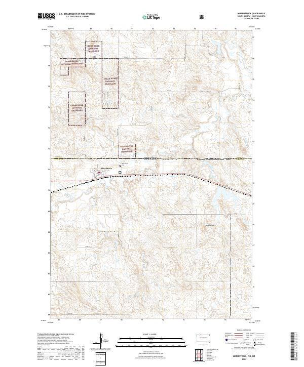
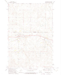 1972 Morristown1975 Print · USGSMorristown and the surrounding Standing Rock Indian Reservation are documented here in the early 1970s. Trace the paths of the Milwaukee St Paul and Pacific railroad as it passes by Morristown Lake and landmarks like Peaked Butte.
 - 1980 Map of McIntosh, 1981 Print
 1980 McIntosh1981 Print · USGSThe northern plains of the Standing Rock Indian Reservation are shown here as they appeared in the early 1980s. You can trace the railroad history of Corson County along the Chicago Milwaukee St Paul and Pacific line, connecting settlements like Watauga and Morristown.
 - 1998 Map of Morristown, 2001 Print
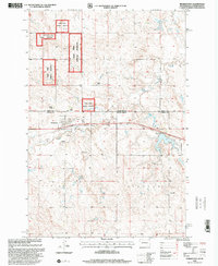 1998 Morristown2001 Print · USGSThe borderlands of Corson County come into focus during the late 1990s, showing the town of Morristown surrounded by the Cedar River National Grassland. Genealogists and local historians can locate family landmarks like the A Maier Ranch or the community Cem near the banks of Hay Creek.
 - 2011 Map of Morristown, 2011 Print
 2011 Morristown2011 Print · USGSCovers Morristown, including Porcupine District, Rock Creek District, and other nearby areas
 - 2015 Map of Morristown, 2015 Print
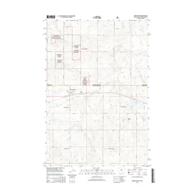 2015 Morristown2015 Print · USGSCovers Morristown, including Porcupine District, Rock Creek District, and other nearby areas
 - 2017 Map of Morristown, 2017 Print
 2017 Morristown2017 Print · USGSCovers Morristown, including Porcupine District, Rock Creek District, and other nearby areas
 - 2021 Map of Morristown, 2021 Print
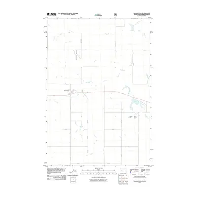
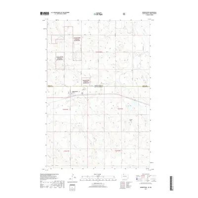
 2021 Morristown2021 Print · USGSStraddling the North and South Dakota border in the early 2020s, this area centers on the town of Morristown. Genealogists and local historians can trace the town grid and find the Morristown Cem or the natural landmark of Peaked Butte.
End of results
Showing maps 1-9 of 9
Top cities near Morristown
Frequently asked questions
- What are the different types of historical maps available for Morristown?
- What is the oldest map of Morristown?
- Where can I purchase historical maps of Morristown for my home or office?
- Where can I download high-res historical maps of Morristown?
- Are there historical topographic maps available for Morristown?
- Is there historical aerial imagery available for Morristown?
- Where are historical maps of Morristown sourced from?