2021 Map of Morristown
USGS Topo · Published 2021About this map
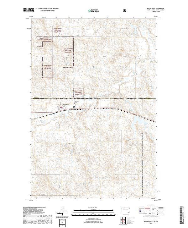
Morristown sits at the heart of this landscape, positioned where the Sioux Co Corson Co line meets the boundary between North and South Dakota. The town's grid, featuring Main St and 1st St, serves as a hub for the surrounding ranching and agricultural region. North of the settlement, the Cedar River National Grassland dominates the terrain, characterized by the winding path of Hay Cr. This modern survey illustrates the persistent importance of local landmarks such as the Morristown Cem and the prominent Peaked Butte to the south. The map reflects a landscape defined by expansive public lands and long-standing section lines, with roads like 64th Ave SW and 101st St providing the primary connectivity between the remote plains and the concentrated settlement of the townsite.
Find a feature on this map
31 named features on this map. Tap any name to fly to it.
Don’t see what you’re looking for? This feature index may not catch every label — zoom into the map to look around manually.
Map Details
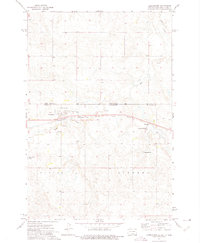
Editions of this 2021 Morristown Map
This is the sole edition of this map. No revisions or reprints were ever made.
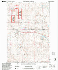
Historical Maps of Morristown Through Time
3 maps found
Featured Locations
- Corson County, SD
- Sioux County, ND
- Rock Creek District, SD
- Porcupine District, ND
- Morristown, Rock Creek District