
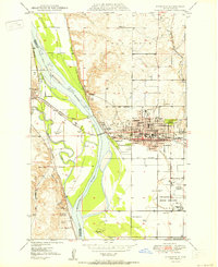
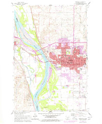
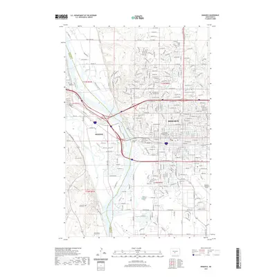
1958 Map of Bismarck
USGS Topo · Published 1958About this map
The Missouri River corridor serves as the central artery for this mid-century survey, where the Oahe Reservoir is seen shaping the southern landscape. The twin cities of Bismarck and Mandan dominate the river crossing, supported by an oil refinery and the historic Fort Lincoln State Park/Museum. This era captures a transition in transportation, showing the Northern Pacific and Chicago Milwaukee St Paul and Pacific rail lines alongside several marked sidings such as Sunny Siding and Geneva Siding.
Find a feature on this map
136 named features on this map. Tap any name to fly to it.
Don’t see what you’re looking for? This feature index may not catch every label — zoom into the map to look around manually.
Map Details
Editions of this 1958 Bismarck Map
This is the sole edition of this map. No revisions or reprints were ever made.
Historical Maps of Bismarck Through Time
12 maps found
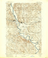
1907 Bismarck
Burleigh County, ND
1950 Bismarck
Burleigh County, ND
1951 Bismarck
Burleigh County, ND
1954 Bismarck
Burleigh County, ND
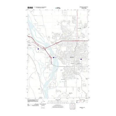
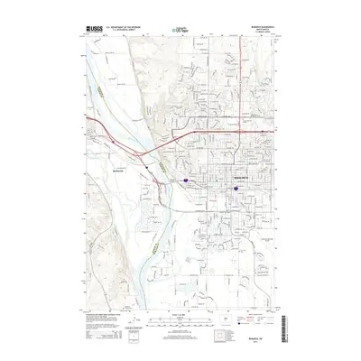
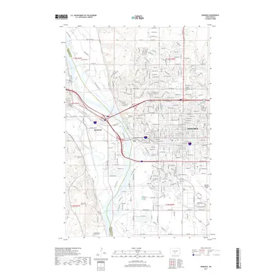
1958 Bismarck
Burleigh County, ND
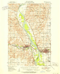
1962 Bismarck
Burleigh County, ND

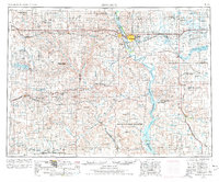
1979 Bismarck
Burleigh County, ND
2011 Bismarck
Burleigh County, ND
2014 Bismarck
Burleigh County, ND
2017 Bismarck
Burleigh County, ND
2020 Bismarck
Burleigh County, ND
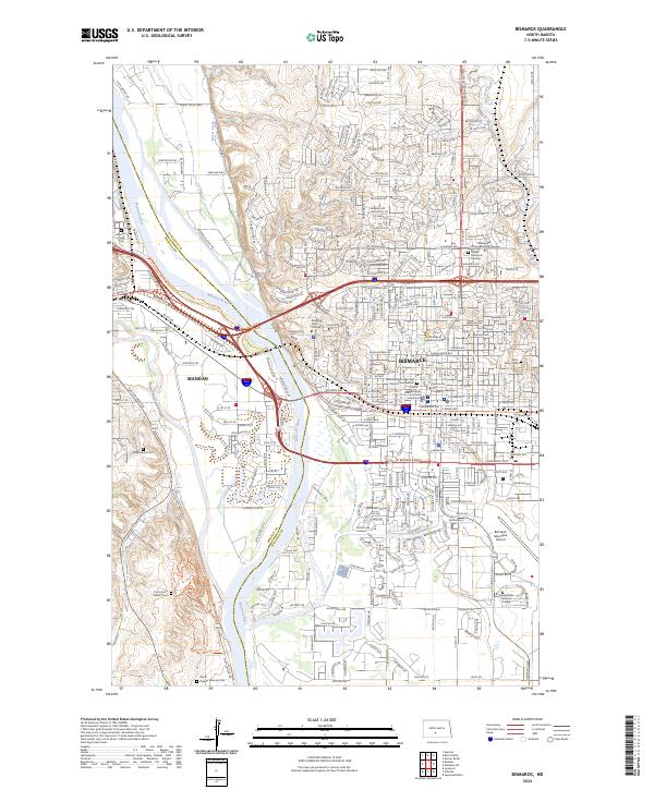
2024 Bismarck
Burleigh County, ND