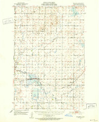
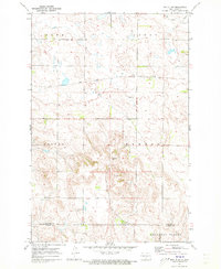
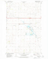
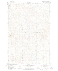
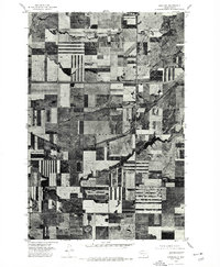
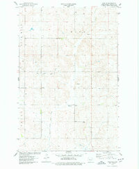
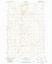
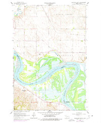
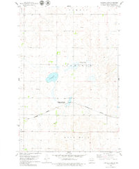
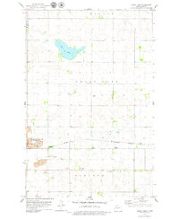
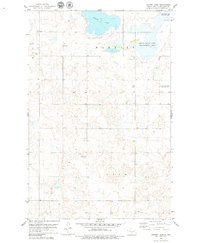
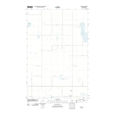
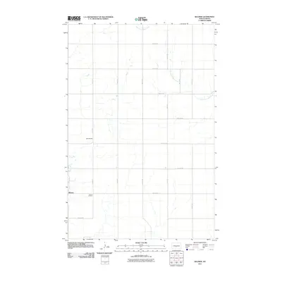
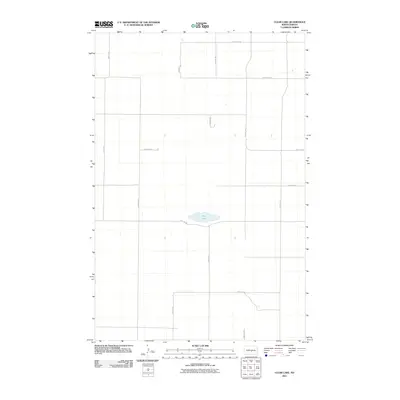
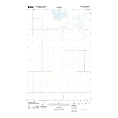
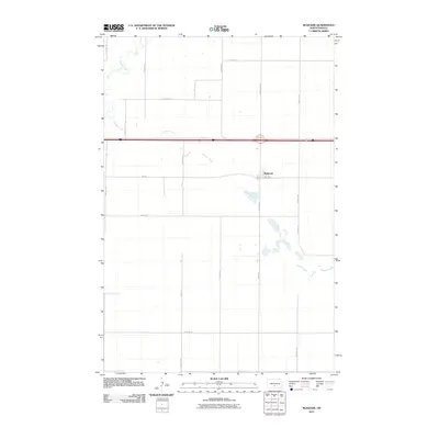
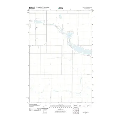
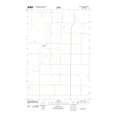
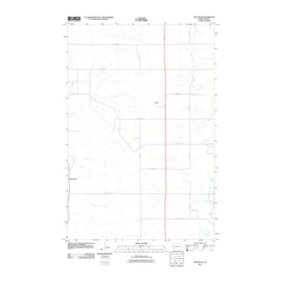
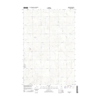
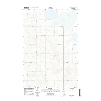
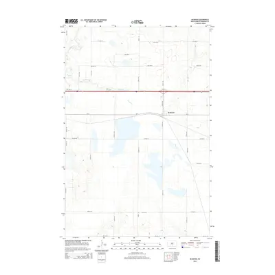
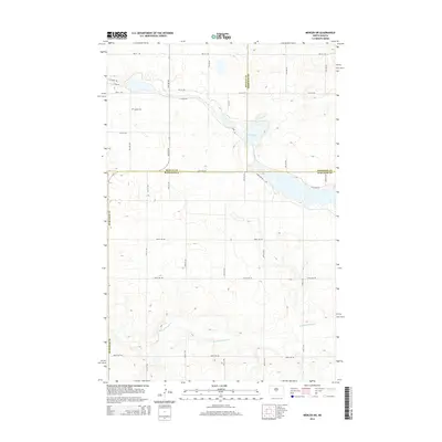
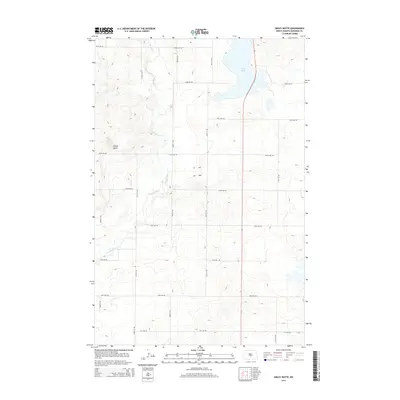
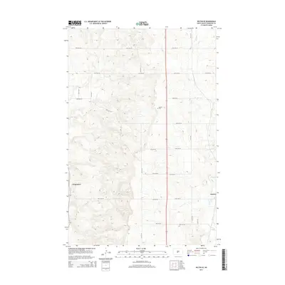
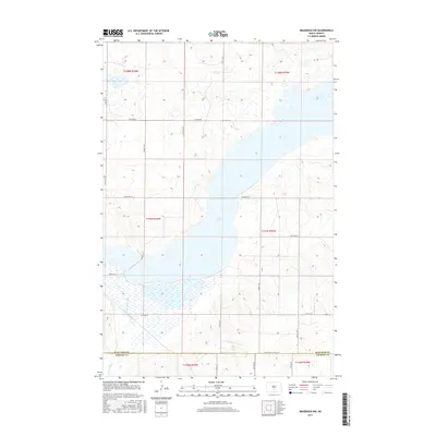
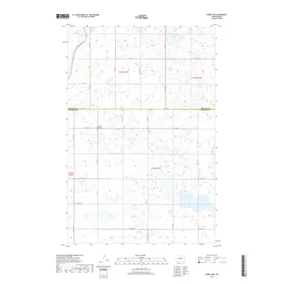
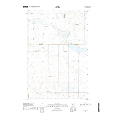
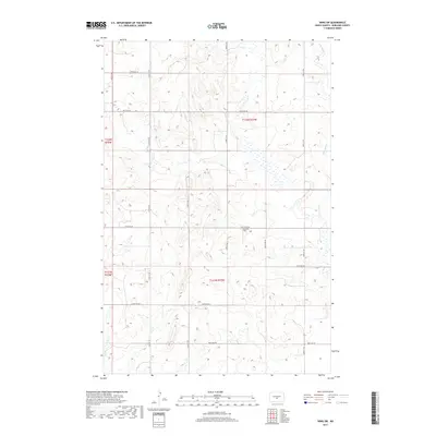
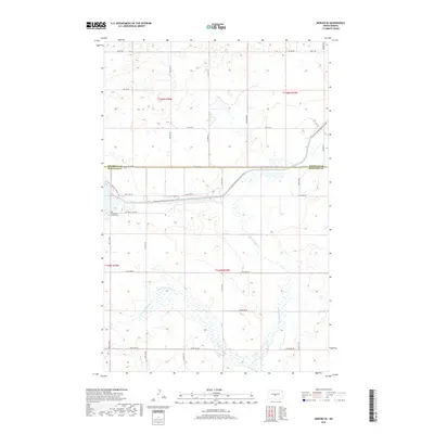
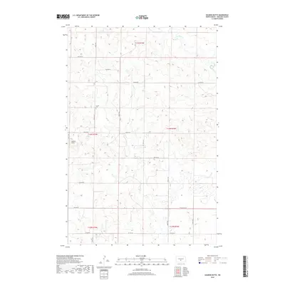
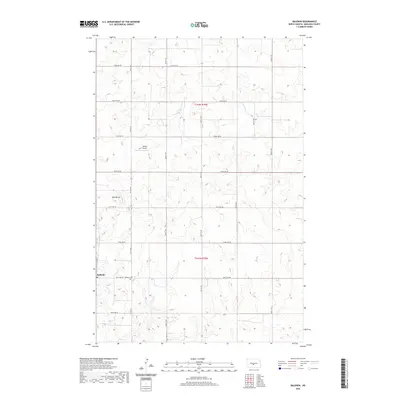
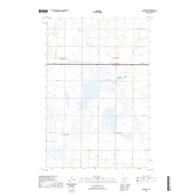
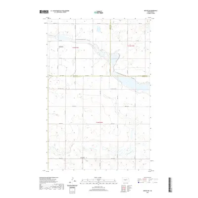
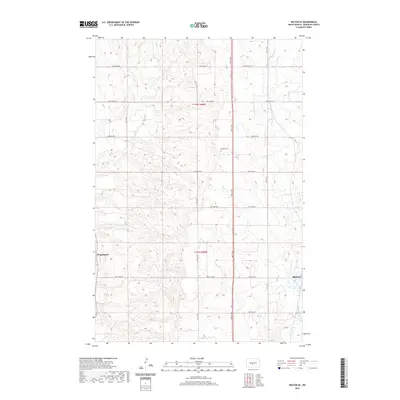
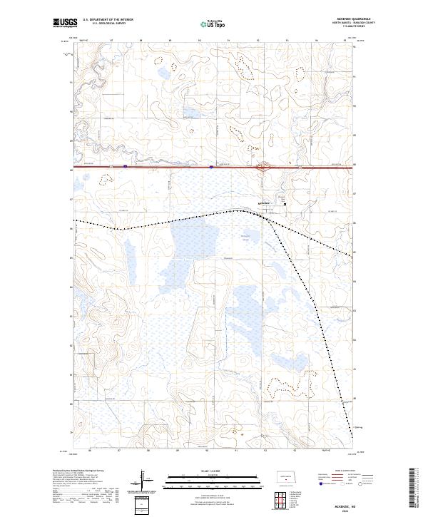
1951 Map of McKenzie
USGS Topo · Published 1952About this map
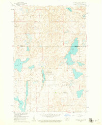
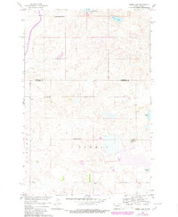
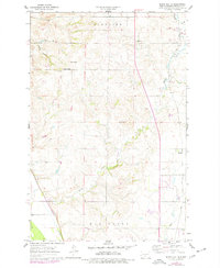
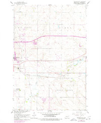
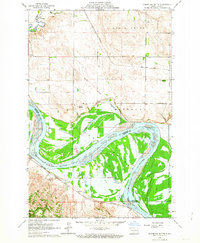
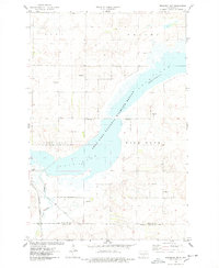
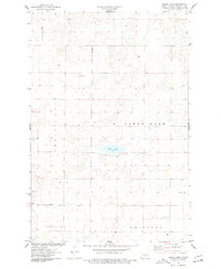
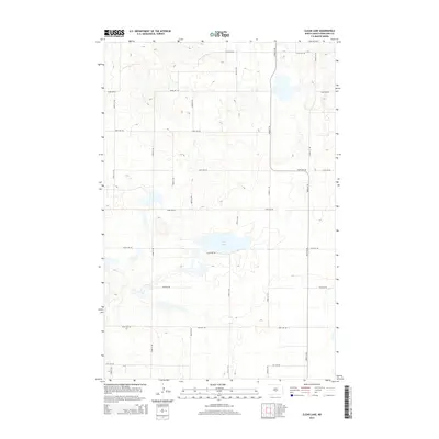
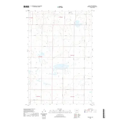
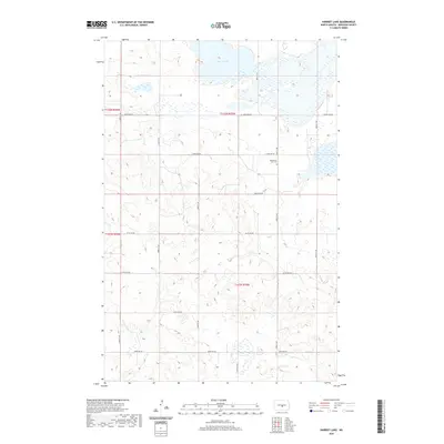
McKenzie and Sterling serve as the primary hubs in this mid-century portrait of Burleigh County, North Dakota. The landscape is defined by the Northern Pacific railroad corridor, which skirts the northern edge of the sprawling McKenzie Slough. This wetland complex, alongside Rice Lake and the meandering reaches of Apple Creek, highlights the critical role of water management in the region, a focus emphasized by the involvement of the North Dakota Water Conservation Commission.
Find a feature on this map
29 named features on this map. Tap any name to fly to it.
Don’t see what you’re looking for? This feature index may not catch every label — zoom into the map to look around manually.
Map Details
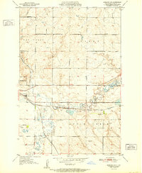
Editions of this 1951 McKenzie Map
This is the sole edition of this map. No revisions or reprints were ever made.
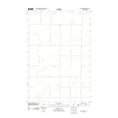
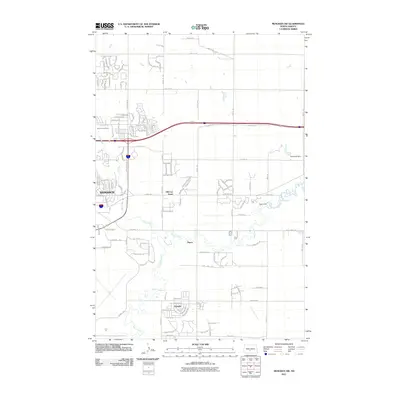
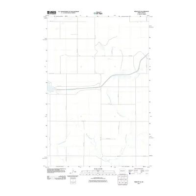
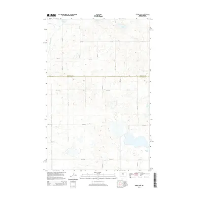
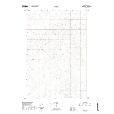
Historical Maps of Sterling Through Time
171 maps found
1951 McKenzie
Burleigh County, ND
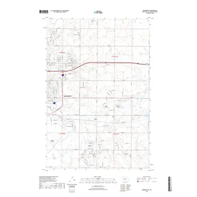
1951 Menoken SW
Burleigh County, ND
1959 Mercer SE
Burleigh County, ND
1959 Mercer SW
Burleigh County, ND
1960 Florence Lake
Burleigh County, ND
1960 Horse Lake
Burleigh County, ND
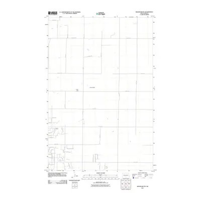
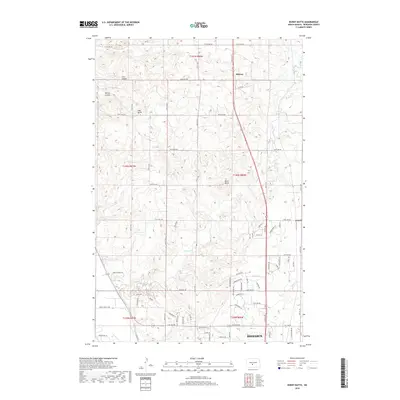
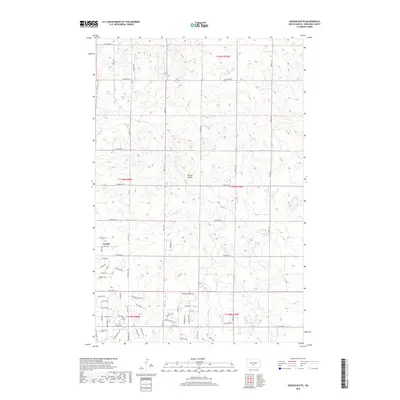
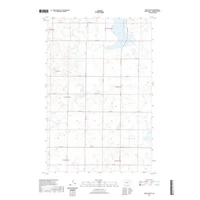
1962 Burnt Butte
Burleigh County, ND
1962 Menoken SW
Burleigh County, ND
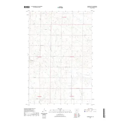
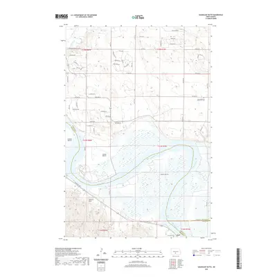
1962 Sugarloaf Butte
Burleigh County, ND
1966 Wilton SE
Burleigh County, ND
1971 Huff NE
Burleigh County, ND
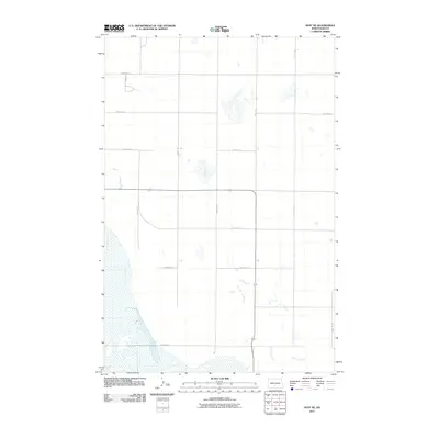
1971 Moffit
Burleigh County, ND
1971 Moffit NW
Burleigh County, ND
1975 Braddock NW
Burleigh County, ND
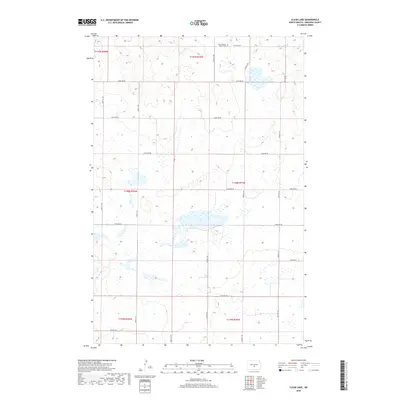
1975 Clear Lake
Burleigh County, ND
1975 Keever Butte
Burleigh County, ND
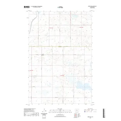
1975 McKenzie
Burleigh County, ND
1975 McKenzie NW
Burleigh County, ND
1975 Regan SE
Burleigh County, ND
1975 Sibley Butte
Burleigh County, ND
1975 Solberg Butte
Burleigh County, ND
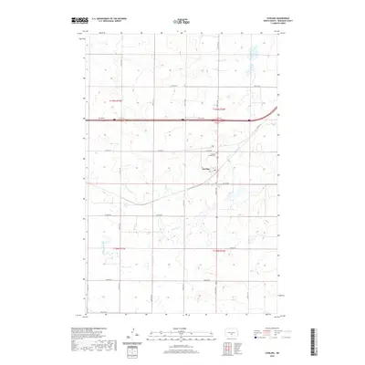
1975 Sterling
Burleigh County, ND
1975 Wing SE
Burleigh County, ND
1975 Wing SW
Burleigh County, ND
1976 Sugarloaf Butte
Burleigh County, ND
1978 Goodrich SW
Burleigh County, ND
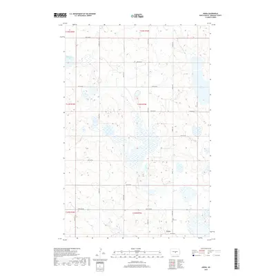
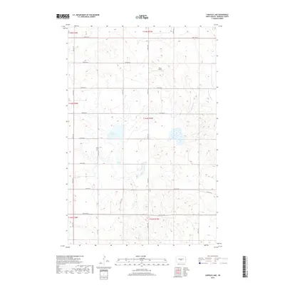
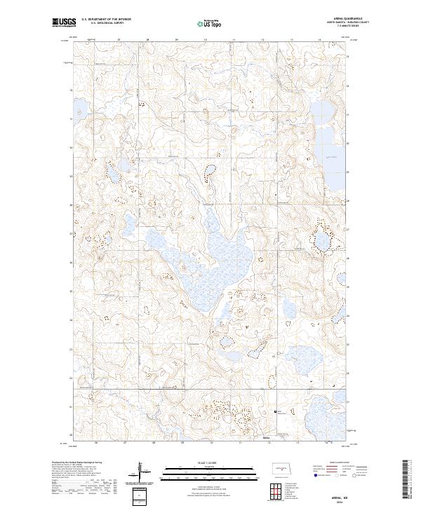
1979 Arena
Burleigh County, ND
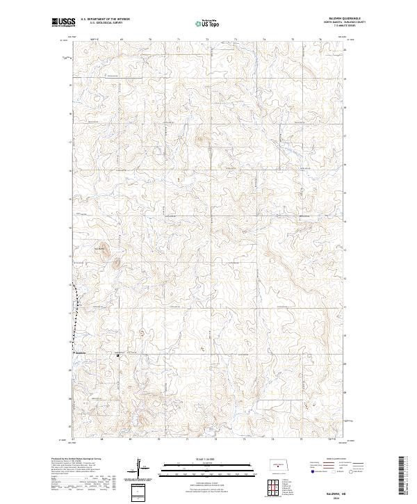
1979 Baldwin
Burleigh County, ND
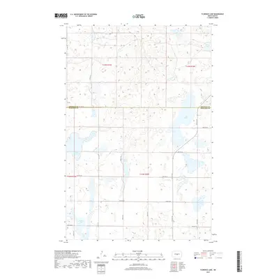
1979 Canfield Lake
Burleigh County, ND
1979 Grass Lake
Burleigh County, ND
1979 Harriet Lake
Burleigh County, ND
2011 Arena
Burleigh County, ND
2011 Baldwin
Burleigh County, ND
2011 Braddock NW
Burleigh County, ND
2011 Burnt Butte
Burleigh County, ND
2011 Canfield Lake
Burleigh County, ND
2011 Clear Lake
Burleigh County, ND
2011 Florence Lake
Burleigh County, ND
2011 Goodrich SW
Burleigh County, ND
2011 Grass Lake
Burleigh County, ND
2011 Harriet Lake
Burleigh County, ND
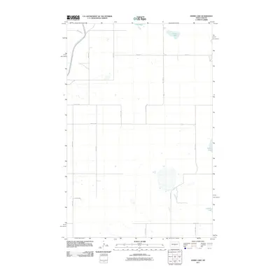
2011 Horse Lake
Burleigh County, ND
2011 Huff NE
Burleigh County, ND
2011 Keever Butte
Burleigh County, ND
2011 McKenzie
Burleigh County, ND
2011 McKenzie NW
Burleigh County, ND
2011 Menoken SW
Burleigh County, ND
2011 Mercer SE
Burleigh County, ND
2011 Mercer SW
Burleigh County, ND
2011 Moffit
Burleigh County, ND
2011 Moffit NW
Burleigh County, ND
2011 Regan SE
Burleigh County, ND
2011 Sibley Butte
Burleigh County, ND
2011 Solberg Butte
Burleigh County, ND
2011 Sterling
Burleigh County, ND
2011 Sugarloaf Butte
Burleigh County, ND
2011 Wilton SE
Burleigh County, ND
2011 Wing SE
Burleigh County, ND
2011 Wing SW
Burleigh County, ND
2014 Arena
Burleigh County, ND
2014 Baldwin
Burleigh County, ND
2014 Braddock NW
Burleigh County, ND
2014 Burnt Butte
Burleigh County, ND
2014 Canfield Lake
Burleigh County, ND
2014 Clear Lake
Burleigh County, ND
2014 Florence Lake
Burleigh County, ND
2014 Goodrich SW
Burleigh County, ND
2014 Grass Lake
Burleigh County, ND
2014 Harriet Lake
Burleigh County, ND
2014 Horse Lake
Burleigh County, ND
2014 Huff NE
Burleigh County, ND
2014 Keever Butte
Burleigh County, ND
2014 McKenzie
Burleigh County, ND
2014 McKenzie NW
Burleigh County, ND
2014 Menoken SW
Burleigh County, ND
2014 Mercer SE
Burleigh County, ND
2014 Mercer SW
Burleigh County, ND
2014 Moffit
Burleigh County, ND
2014 Moffit NW
Burleigh County, ND
2014 Regan SE
Burleigh County, ND
2014 Sibley Butte
Burleigh County, ND
2014 Solberg Butte
Burleigh County, ND
2014 Sterling
Burleigh County, ND
2014 Sugarloaf Butte
Burleigh County, ND
2014 Wilton SE
Burleigh County, ND
2014 Wing SE
Burleigh County, ND
2014 Wing SW
Burleigh County, ND
2017 Baldwin
Burleigh County, ND
2017 Braddock NW
Burleigh County, ND
2017 Goodrich SW
Burleigh County, ND
2017 Grass Lake
Burleigh County, ND
2017 Harriet Lake
Burleigh County, ND
2017 Horse Lake
Burleigh County, ND
2017 Huff NE
Burleigh County, ND
2017 McKenzie
Burleigh County, ND
2017 McKenzie NW
Burleigh County, ND
2017 Mercer SW
Burleigh County, ND
2017 Moffit NW
Burleigh County, ND
2017 Sugarloaf Butte
Burleigh County, ND
2017 Wing SE
Burleigh County, ND
2017 Wing SW
Burleigh County, ND
2018 Arena
Burleigh County, ND
2018 Burnt Butte
Burleigh County, ND
2018 Canfield Lake
Burleigh County, ND
2018 Clear Lake
Burleigh County, ND
2018 Florence Lake
Burleigh County, ND
2018 Keever Butte
Burleigh County, ND
2018 Menoken SW
Burleigh County, ND
2018 Mercer SE
Burleigh County, ND
2018 Moffit
Burleigh County, ND
2018 Regan SE
Burleigh County, ND
2018 Sibley Butte
Burleigh County, ND
2018 Solberg Butte
Burleigh County, ND
2018 Sterling
Burleigh County, ND
2018 Wilton SE
Burleigh County, ND
2020 Arena
Burleigh County, ND
2020 Baldwin
Burleigh County, ND
2020 Braddock NW
Burleigh County, ND
2020 Burnt Butte
Burleigh County, ND
2020 Canfield Lake
Burleigh County, ND
2020 Clear Lake
Burleigh County, ND
2020 Florence Lake
Burleigh County, ND
2020 Goodrich SW
Burleigh County, ND
2020 Grass Lake
Burleigh County, ND
2020 Harriet Lake
Burleigh County, ND
2020 Horse Lake
Burleigh County, ND
2020 Huff NE
Burleigh County, ND
2020 Keever Butte
Burleigh County, ND
2020 McKenzie
Burleigh County, ND
2020 McKenzie NW
Burleigh County, ND
2020 Menoken SW
Burleigh County, ND
2020 Mercer SE
Burleigh County, ND
2020 Mercer SW
Burleigh County, ND
2020 Moffit
Burleigh County, ND
2020 Moffit NW
Burleigh County, ND
2020 Regan SE
Burleigh County, ND
2020 Sibley Butte
Burleigh County, ND
2020 Solberg Butte
Burleigh County, ND
2020 Sterling
Burleigh County, ND
2020 Sugarloaf Butte
Burleigh County, ND
2020 Wilton SE
Burleigh County, ND
2020 Wing SE
Burleigh County, ND
2020 Wing SW
Burleigh County, ND
2024 Arena
Burleigh County, ND
2024 Baldwin
Burleigh County, ND
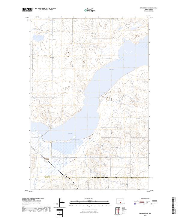
2024 Braddock NW
Burleigh County, ND
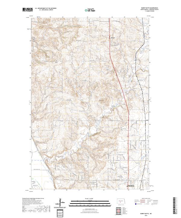
2024 Burnt Butte
Burleigh County, ND
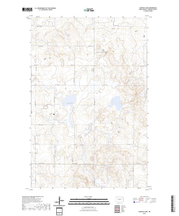
2024 Canfield Lake
Burleigh County, ND
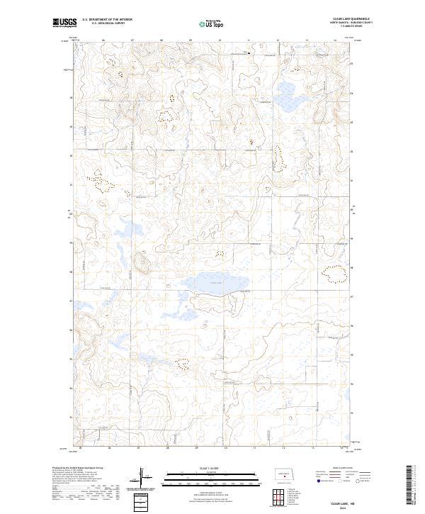
2024 Clear Lake
Burleigh County, ND
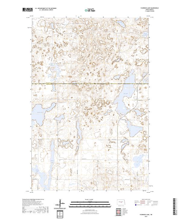
2024 Florence Lake
Burleigh County, ND
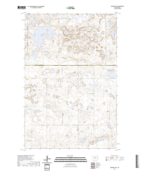
2024 Goodrich SW
Burleigh County, ND
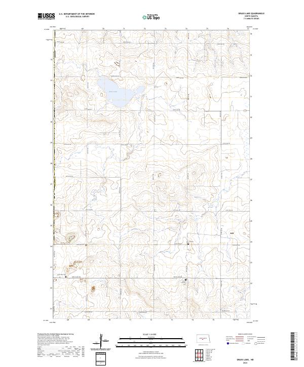
2024 Grass Lake
Burleigh County, ND
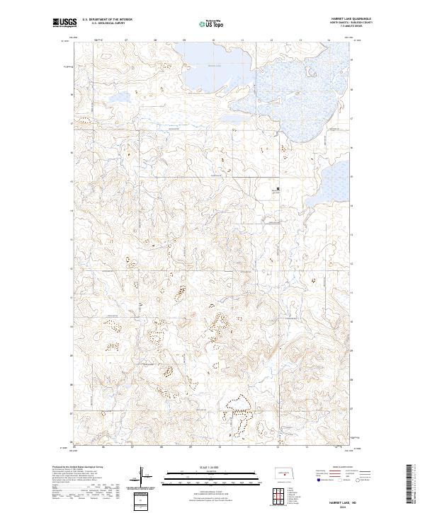
2024 Harriet Lake
Burleigh County, ND
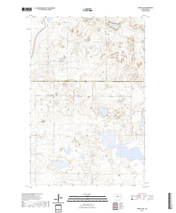
2024 Horse Lake
Burleigh County, ND
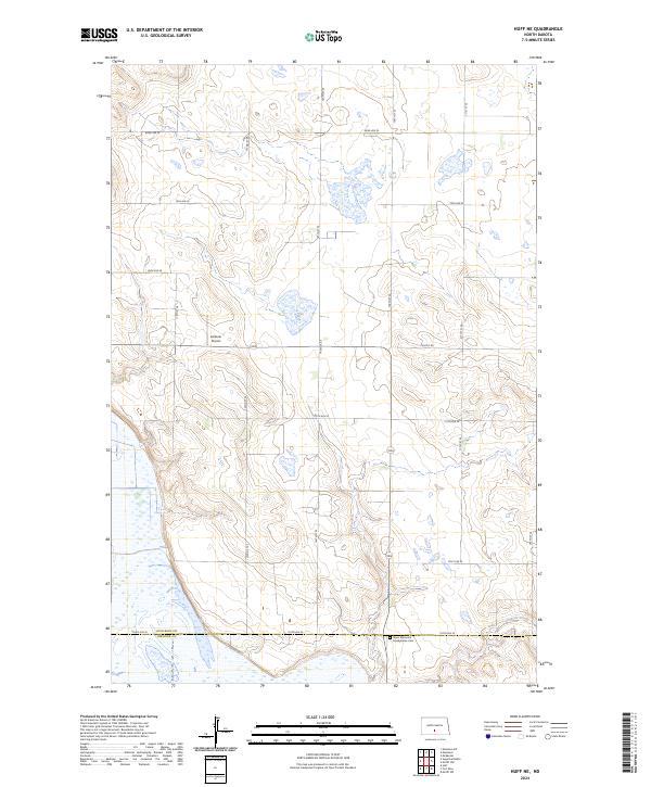
2024 Huff NE
Burleigh County, ND
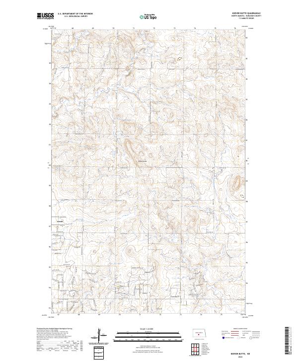
2024 Keever Butte
Burleigh County, ND
2024 McKenzie
Burleigh County, ND
2024 McKenzie NW
Burleigh County, ND
2024 Menoken SW
Burleigh County, ND
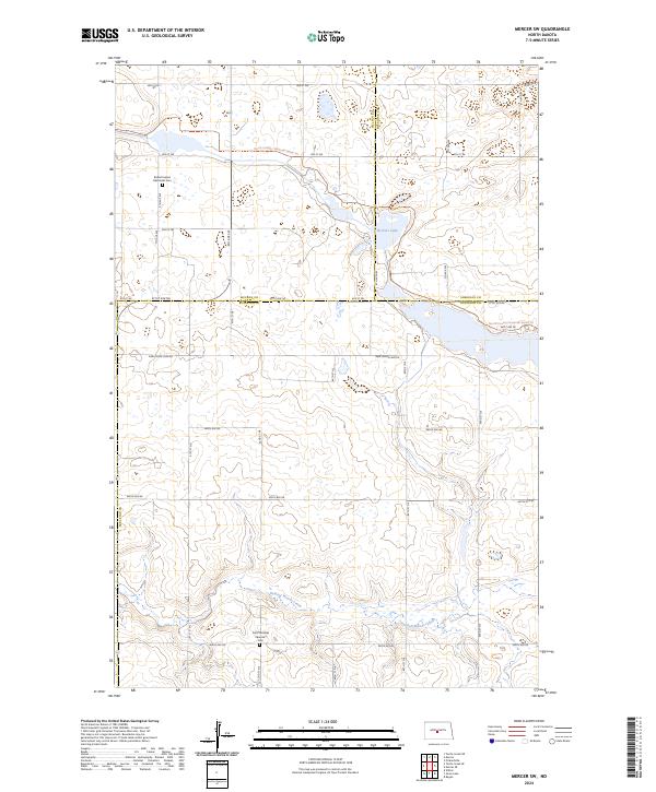
2024 Mercer SE
Burleigh County, ND
2024 Mercer SW
Burleigh County, ND
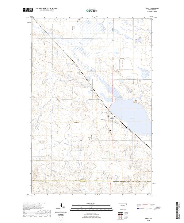
2024 Moffit
Burleigh County, ND
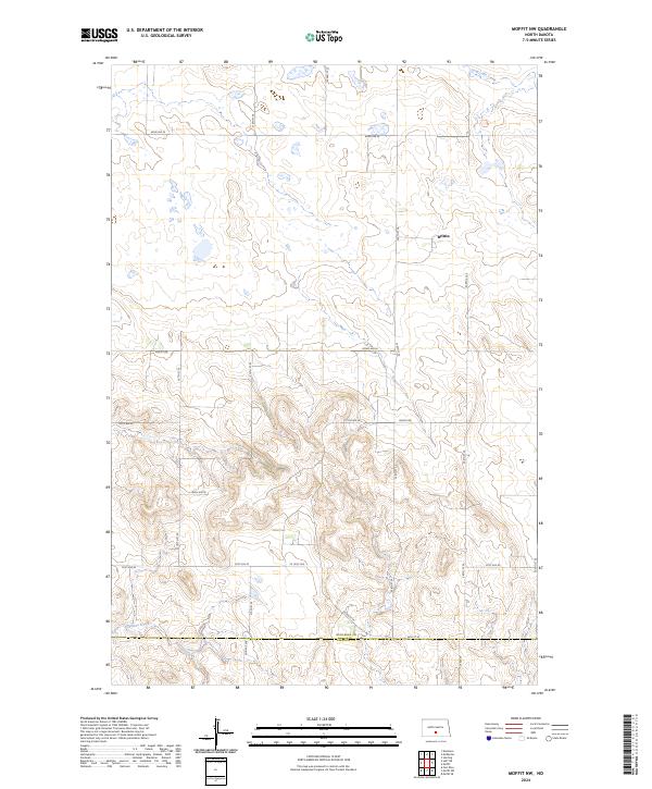
2024 Moffit NW
Burleigh County, ND
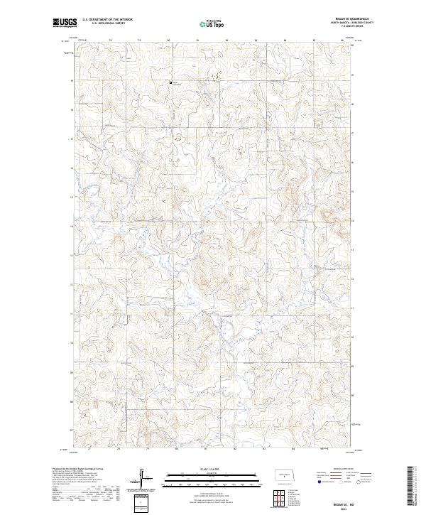
2024 Regan SE
Burleigh County, ND
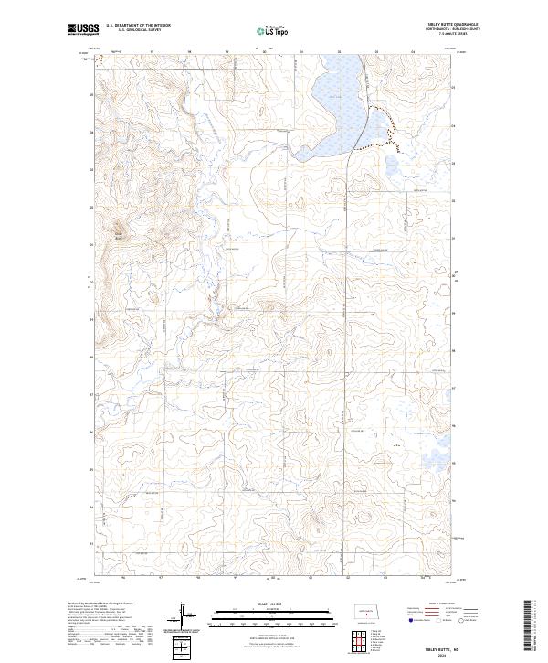
2024 Sibley Butte
Burleigh County, ND
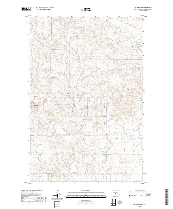
2024 Solberg Butte
Burleigh County, ND
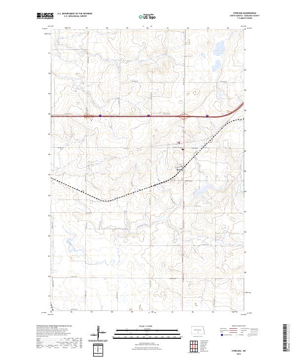
2024 Sterling
Burleigh County, ND
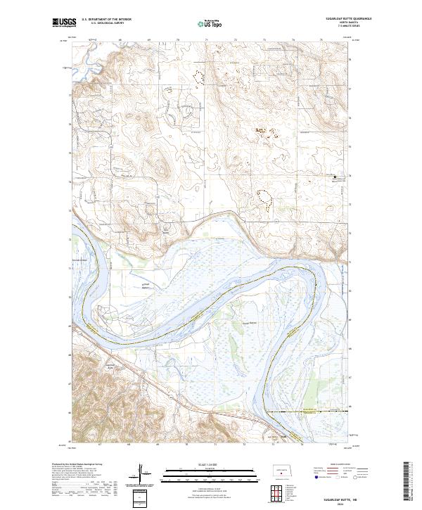
2024 Sugarloaf Butte
Burleigh County, ND
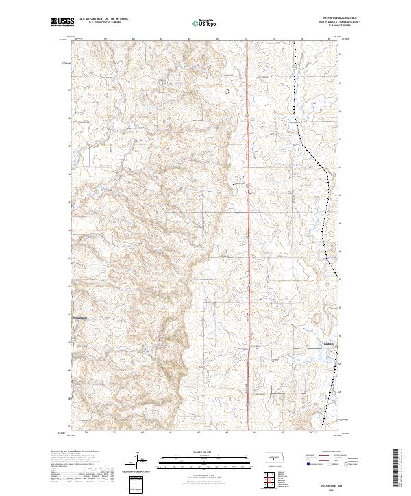
2024 Wilton SE
Burleigh County, ND
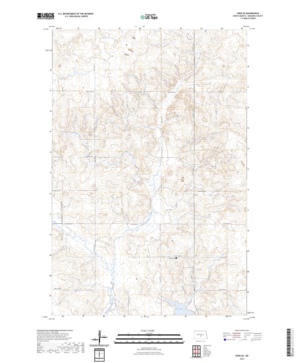
2024 Wing SE
Burleigh County, ND
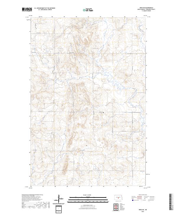
2024 Wing SW
Burleigh County, ND