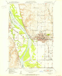
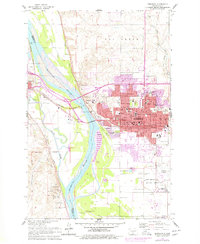
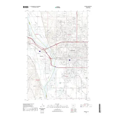
1950 Map of Bismarck
USGS Topo · Published 1950About this map
Bismarck and Mandan stand on opposite banks of the Missouri River in this mid-century portrait of North Dakota's capital. The landscape is defined by the strategic confluence of the Heart River and the Missouri, where historical military and pioneer sites dominate the river bluffs. South of the city, Ft Lincoln State Park preserves the Ft Lincoln Historic Site and the Ft McKeen Historic Site, near which ancient Indian Mounds are marked.
Find a feature on this map
58 named features on this map. Tap any name to fly to it.
Don’t see what you’re looking for? This feature index may not catch every label — zoom into the map to look around manually.
Map Details
Editions of this 1950 Bismarck Map
This is the sole edition of this map. No revisions or reprints were ever made.
Historical Maps of Bismarck Through Time
12 maps found
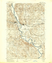
1907 Bismarck
Burleigh County, ND
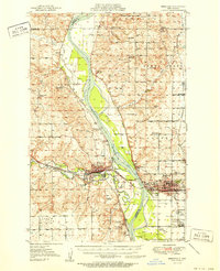
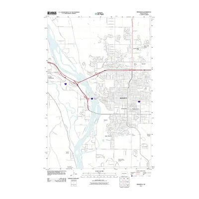
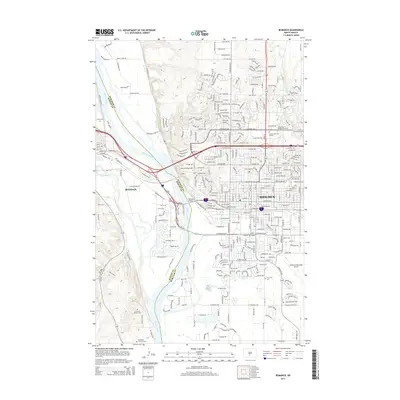
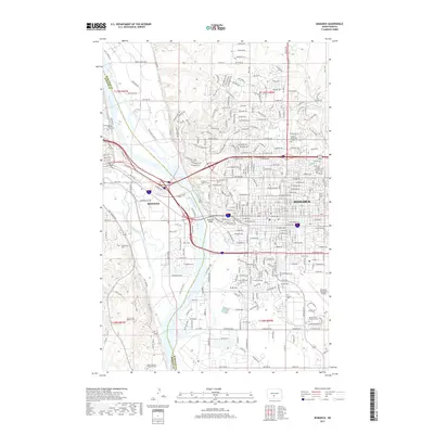
1950 Bismarck
Burleigh County, ND
1951 Bismarck
Burleigh County, ND
1954 Bismarck
Burleigh County, ND

1958 Bismarck
Burleigh County, ND
1962 Bismarck
Burleigh County, ND

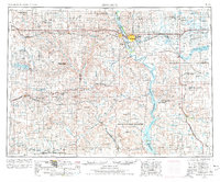
1979 Bismarck
Burleigh County, ND
2011 Bismarck
Burleigh County, ND
2014 Bismarck
Burleigh County, ND
2017 Bismarck
Burleigh County, ND
2020 Bismarck
Burleigh County, ND
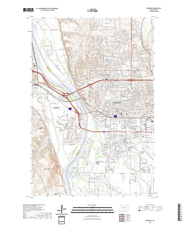
2024 Bismarck
Burleigh County, ND