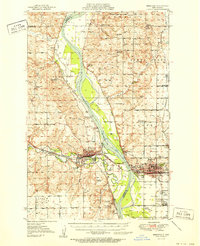
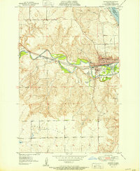
1951 Map of Bismarck
USGS Topo · Published 1951About this map
The Missouri River corridor serves as the central artery for this 1951 study of the North Dakota capital and its surroundings. The city of Bismarck is shown in detail, dominated by the State Capitol and the Municipal Airport, while across the water, the city of Mandan thrives as a rail hub for the Northern Pacific. This era captures the landscape before modern suburban expansion, highlighting numerous rural schoolhouses such as Riverview Sch No 1 and Square Butte School No 2 that once dotted the prairie.
Find a feature on this map
65 named features on this map. Tap any name to fly to it.
Don’t see what you’re looking for? This feature index may not catch every label — zoom into the map to look around manually.
Map Details
Editions of this 1951 Bismarck Map
This is the sole edition of this map. No revisions or reprints were ever made.
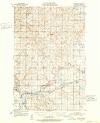
Other maps of this area

1907 · Bismarck
USGS Topo · 1:125,000
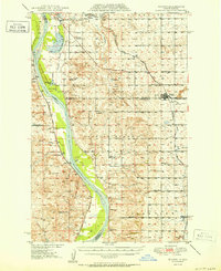
1950 · Wilton
USGS Topo · 1:62,500
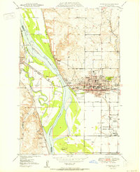
1950 · Bismarck
USGS Topo · 1:24,000
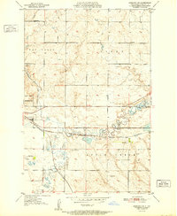
1951 · Menoken SW
USGS Topo · 1:24,000
1951 · Mandan
USGS Topo · 1:24,000
1951 · Menoken
USGS Topo · 1:62,500

1954 · Bismarck
USGS Topo · 1:250,000

1954 · McClusky
USGS Topo · 1:250,000

1958 · Bismarck
USGS Topo · 1:250,000

1958 · McClusky
USGS Topo · 1:250,000