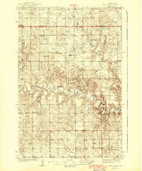
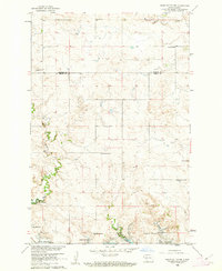
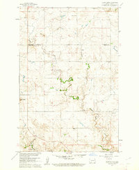
1944 Map of Heart Butte
USGS Topo · Published 1944About this map
The winding Heart River carves a deep valley through this part of Grant and Morton Counties, defining a landscape of isolated homesteads and rural community hubs. Surveyed in the late 1930s, the map reveals a highly structured social geography where numbered schoolhouses like School No 1 and School No 6 are distributed at regular intervals to serve the surrounding farmsteads. Local spiritual life is anchored by landmarks such as St Joseph Ch and Johannestown Ch, while a solitary Town Hall and the prominent Heart Butte provide central points for civic and geographic orientation.
Find a feature on this map
21 named features on this map. Tap any name to fly to it.
Don’t see what you’re looking for? This feature index may not catch every label — zoom into the map to look around manually.
Map Details
Editions of this 1944 Heart Butte Map
This is the sole edition of this map. No revisions or reprints were ever made.
Other maps of this area
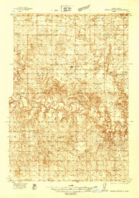
1938 · Heart Butte
USGS Topo · 1:48,000

1953 · Dickinson
USGS Topo · 1:250,000

1954 · Bismarck
USGS Topo · 1:250,000

1957 · Dickinson
USGS Topo · 1:250,000

1958 · Bismarck
USGS Topo · 1:250,000
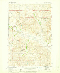
1960 · Dengate
USGS Topo · 1:24,000
1960 · Glen Ullin
USGS Topo · 1:24,000
1960 · Heart Butte NW
USGS Topo · 1:24,000

1960 · Clark Butte NE
USGS Topo · 1:24,000
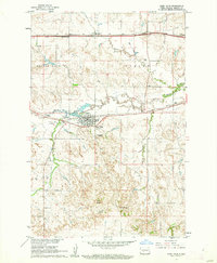
1960 · Heart Butte
USGS Topo · 1:24,000