Old Maps of Johnson Ford, North Dakota
Explore 11 old maps of Johnson Ford, spanning from 1938 to today. These high-resolution historic maps reveal how streets, neighborhoods, landmarks, and natural features evolved over time — perfect for genealogy, metal detecting, research, and local history exploration.
What you can do with these maps:
- See how Johnson Ford changed over time: Compare historical maps to modern-day views to trace roads, homesites, rail lines & more.
- View detailed metadata: Each map includes creators, publishers, year, scale, and archive source.
- Overlay maps with satellite & LiDAR: Visualize the past alongside modern tools to explore terrain & human change.
- Trusted historical sources: Maps sourced from the USGS, Library of Congress, and other archives.
- Access maps your way: View online, download high-res files, or order prints for personal or research use.
Start exploring old maps of Johnson Ford to uncover forgotten places, hidden landmarks, and the deep history beneath your feet.
Johnson Ford, ND maps
(11)- 1938 Map of Heart Butte
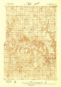 1938 Heart Butte1938 Print · USGSAcross Morton and Grant counties in the late 1930s, this survey captures the rural landscape before the creation of the reservoir. Genealogists can trace early landmarks like Johannestown Ch, the Lignite Mine, and Johnson Ford.
 - 1944 Map of Heart Butte
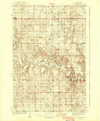 1944 Heart Butte1944 Print · USGSThe rural expanses of Grant and Morton Counties are shown here just before the mid-century, defined by a network of one-room schoolhouses and remote farmsteads. Researchers can trace early family ties at St Joseph Ch or locate the local Lignite Mine along the Heart River.
 - 1954 Map of Bismarck, 1967 Print
 1954 Bismarck1967 Print · USGSBismarck and the Missouri River basin are shown in the mid-1960s as the Oahe Reservoir reshaped the valley. Genealogists can trace family-named landmarks like Dog Tooth Buttes and small prairie settlements such as Fort Yates, Selfridge, and Brisbane.2 unique versions available
 - 1958 Map of Bismarck
 1958 Bismarck1958 Print · USGSCentral North Dakota in the late fifties is defined by the Missouri River and the sprawling Standing Rock Indian Reservation. Genealogists and historians can trace rail-line outposts like Sedalia Siding or explore local landmarks like Saint Anthony and Fort Lincoln State Park/Museum.
 - 1980 Map of Lake Tschida East
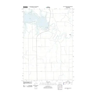
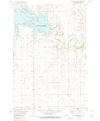 1980 Lake Tschida East1980 Print · USGSLake Tschida and the Heart River valley are captured in the early eighties during a period of established recreation and water management. Genealogists and local historians can locate the Murphy settlement, a rural Cem, and the various Campgrounds lining the reservoir.
 - 1980 Map of Glen Ullin
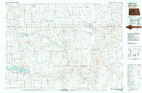 1980 Glen Ullin1980 Print · USGSMorton County in the late seventies is captured here, centered on the railroad towns of Glen Ullin and New Salem. Local historians can trace early settlements like Bluegrass and Almont or the growth of the Heart Butte Reservoir and regional Strip Mine operations.
 - 2011 Map of Lake Tschida East, 2011 Print
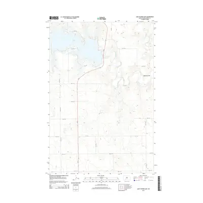
 2011 Lake Tschida East2011 Print · USGSCovers Johnson Ford, including Wollman Ranch Hutterite Colony, Grant County, and other nearby areas
 - 2014 Map of Lake Tschida East, 2014 Print
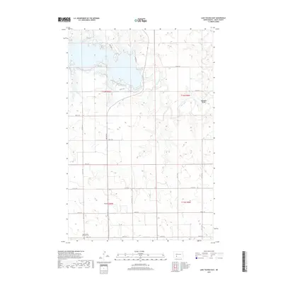
 2014 Lake Tschida East2014 Print · USGSCovers Johnson Ford, including Wollman Ranch Hutterite Colony, Grant County, and other nearby areas
 - 2018 Map of Lake Tschida East, 2018 Print
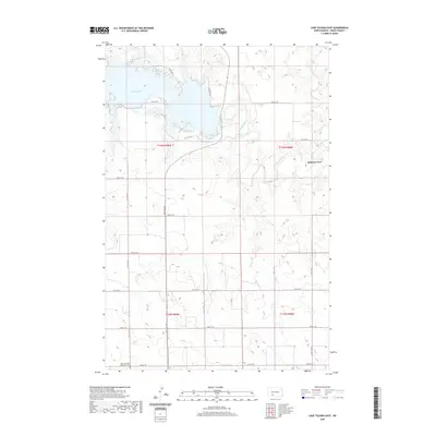
 2018 Lake Tschida East2018 Print · USGSCovers Johnson Ford, including Wollman Ranch Hutterite Colony, Grant County, and other nearby areas
 - 2020 Map of Lake Tschida East, 2020 Print
 2020 Lake Tschida East2020 Print · USGSCovers Johnson Ford, including Wollman Ranch Hutterite Colony, Grant County, and other nearby areas
 - 2024 Map of Lake Tschida East, 2024 Print
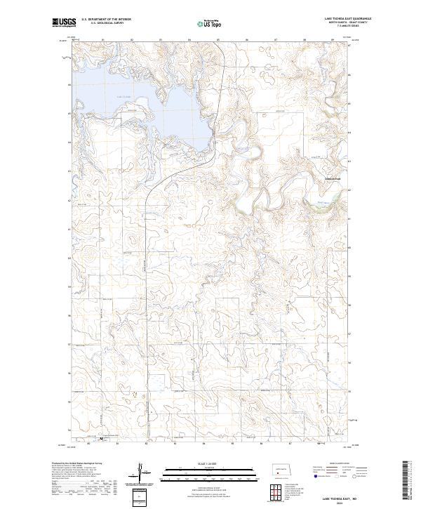 2024 Lake Tschida East2024 Print · USGSGrant County’s modern prairie landscape is captured here, centered on the expansive waters of Lake Tschida and the winding Heart River. Researchers can locate the Hope Lutheran (Old Stone) Cemetery and trace historical crossing points like Johnson Ford.
End of results
Showing maps 1-11 of 11
Top cities near Johnson Ford
- Glen Ullin historical maps
- Elgin historical maps
- Carson historical maps
- New Leipzig historical maps
- Leith historical maps
Frequently asked questions
- What are the different types of historical maps available for Johnson Ford?
- What is the oldest map of Johnson Ford?
- Where can I purchase historical maps of Johnson Ford for my home or office?
- Where can I download high-res historical maps of Johnson Ford?
- Are there historical topographic maps available for Johnson Ford?
- Is there historical aerial imagery available for Johnson Ford?
- Where are historical maps of Johnson Ford sourced from?