Old Maps of Thunder Hawk, Rock Creek District for Academic Research
Study the evolution of Thunder Hawk with 9 high-resolution historic maps. Whether you're teaching, researching, or modeling changes in land use, these maps provide essential visual documentation of urban, environmental, and geographic change.
- Analyze long-term change: Track patterns in development, transportation, and natural features.
- Ideal for environmental or urban studies: Support academic projects with primary historical map data.
- Use in the classroom or lab: Educators and researchers rely on these maps to bring historical context to life.
These maps are a powerful tool for teaching, research, and visualizing how Thunder Hawk has changed over the decades.
Thunder Hawk, Rock Creek District maps
(9)- 1953 Map of McIntosh, 1965 Print
 1953 McIntosh1965 Print · USGSThe north-central Dakota prairie is captured here during the mid-fifties, showing the vast Standing Rock Indian Reservation and the newly formed Oah E Reservoir. Genealogists and historians can trace the Chicago Milwaukee St Paul and Pacific rail line through stops like McIntosh, Walker, and Eagle Butte.3 unique versions available
 - 1958 Map of McIntosh
 1958 McIntosh1958 Print · USGSThe north-central Dakotas appear here in the mid-1950s as massive engineering projects and rail lines shaped the plains. Researchers can trace tribal lands within the Standing Rock Indian Reservation and locate local landmarks like the Keller Mine or the Virginia Siding.
 - 1972 Map of Thunder Hawk, 1975 Print
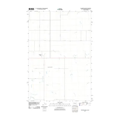
 1972 Thunder Hawk1975 Print · USGSThe Dakota borderlands come into focus in the early 1970s as the Chicago Milwaukee St Paul and Pacific rail line connects small prairie outposts. Genealogists and historians can trace the tracks through Thunder Hawk and locate landmarks like Thunder Hawk Butte and the settlement of Wheatland.
 - 1980 Map of McIntosh, 1981 Print
 1980 McIntosh1981 Print · USGSThe northern plains of the Standing Rock Indian Reservation are shown here as they appeared in the early 1980s. You can trace the railroad history of Corson County along the Chicago Milwaukee St Paul and Pacific line, connecting settlements like Watauga and Morristown.
 - 2011 Map of Thunder Hawk, 2011 Print
 2011 Thunder Hawk2011 Print · USGSCovers Thunder Hawk, including Menz Township, Porcupine District, and other nearby areas
 - 2012 Map of Thunder Hawk, 2012 Print
 2012 Thunder Hawk2012 Print · USGSCovers Thunder Hawk, including Menz Township, Porcupine District, and other nearby areas
 - 2015 Map of Thunder Hawk, 2015 Print
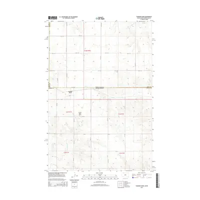 2015 Thunder Hawk2015 Print · USGSCovers Thunder Hawk, including Menz Township, Porcupine District, and other nearby areas
 - 2017 Map of Thunder Hawk, 2017 Print
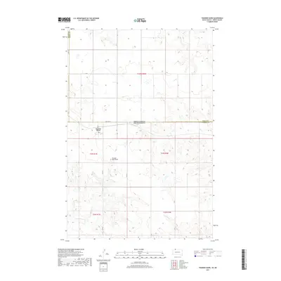 2017 Thunder Hawk2017 Print · USGSCovers Thunder Hawk, including Menz Township, Porcupine District, and other nearby areas
 - 2021 Map of Thunder Hawk, 2021 Print
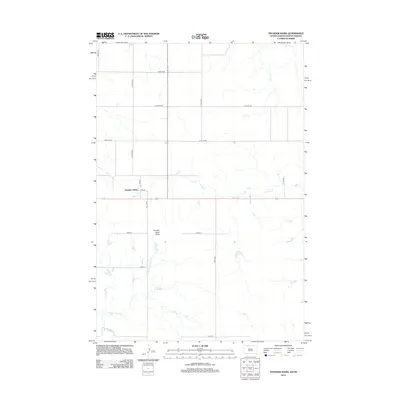
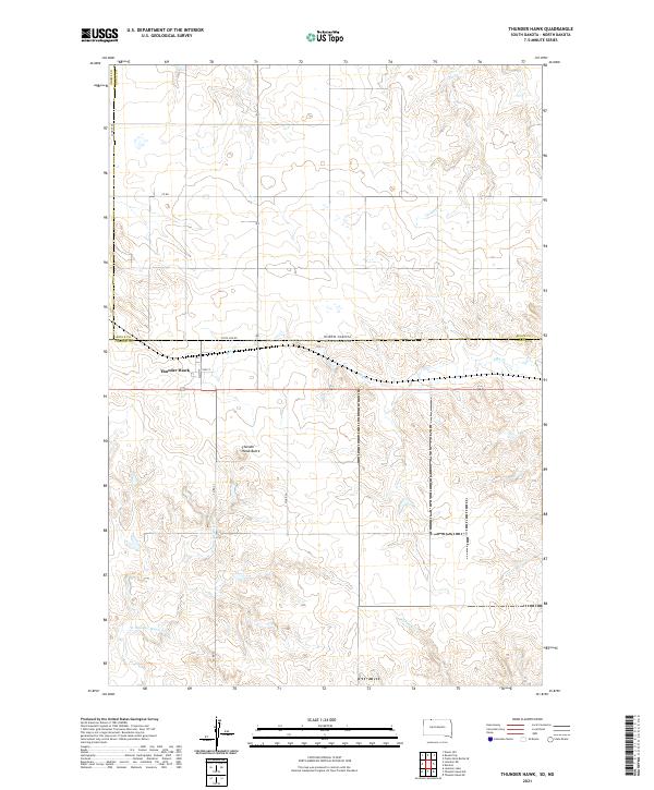 2021 Thunder Hawk2021 Print · USGSThe borderlands of the Dakotas come into focus in this 2021 study of the high plains. Researchers can trace the layout of Thunder Hawk just below the State Line Rd or locate natural landmarks like Thunder Hawk Butte and Turtle Cr.
End of results
Showing maps 1-9 of 9
Top cities near Thunder Hawk
Frequently asked questions
- What are the different types of historical maps available for Thunder Hawk?
- What is the oldest map of Thunder Hawk?
- Where can I purchase historical maps of Thunder Hawk for my home or office?
- Where can I download high-res historical maps of Thunder Hawk?
- Are there historical topographic maps available for Thunder Hawk?
- Is there historical aerial imagery available for Thunder Hawk?
- Where are historical maps of Thunder Hawk sourced from?