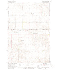
1972 Map of Thunder Hawk
USGS Topo · Published 1975About this map
The Chicago Milwaukee St Paul and Pacific railroad cuts a straight path across this prairie landscape, defining the northern border of the Standing Rock Indian Reservation and the interstate boundary between North Dakota and South Dakota. The settlement of Thunder Hawk sits as a primary rail point, positioned just south of the state line. The surrounding topography is marked by significant rises such as Thunder Hawk Butte, which overlooks the winding drainage basins of Hay Creek and the southern reaches of Thunder Hawk Creek.
Find a feature on this map
15 named features on this map. Tap any name to fly to it.
Don’t see what you’re looking for? This feature index may not catch every label — zoom into the map to look around manually.
Map Details
Editions of this 1972 Thunder Hawk Map
This is the sole edition of this map. No revisions or reprints were ever made.
Other maps of this area

1953 · McIntosh
USGS Topo · 1:250,000

1953 · Dickinson
USGS Topo · 1:250,000

1954 · Lemmon
USGS Topo · 1:250,000

1954 · Bismarck
USGS Topo · 1:250,000

1957 · Dickinson
USGS Topo · 1:250,000

1957 · Lemmon
USGS Topo · 1:250,000

1958 · Bismarck
USGS Topo · 1:250,000

1958 · McIntosh
USGS Topo · 1:250,000

1972 · Pretty Rock Butte SE
USGS Topo · 1:24,000

1972 · Round Top
USGS Topo · 1:24,000
Featured Places
- Porcupine District, ND
- Menz Township, Porcupine District
- Rock Creek District, SD
- Thunder Hawk, Rock Creek District
- Sioux County, ND