Old Maps of Menz Township, Porcupine District
Explore 31 old maps of Menz Township, spanning from 1953 to today. These high-resolution historic maps reveal how streets, neighborhoods, landmarks, and natural features evolved over time — perfect for genealogy, metal detecting, research, and local history exploration.
What you can do with these maps:
- See how Menz Township changed over time: Compare historical maps to modern-day views to trace roads, homesites, rail lines & more.
- View detailed metadata: Each map includes creators, publishers, year, scale, and archive source.
- Overlay maps with satellite & LiDAR: Visualize the past alongside modern tools to explore terrain & human change.
- Trusted historical sources: Maps sourced from the USGS, Library of Congress, and other archives.
- Access maps your way: View online, download high-res files, or order prints for personal or research use.
Start exploring old maps of Menz Township to uncover forgotten places, hidden landmarks, and the deep history beneath your feet.
Menz Township, Porcupine District maps
(31)- 1953 Map of McIntosh, 1965 Print
 1953 McIntosh1965 Print · USGSThe north-central Dakota prairie is captured here during the mid-fifties, showing the vast Standing Rock Indian Reservation and the newly formed Oah E Reservoir. Genealogists and historians can trace the Chicago Milwaukee St Paul and Pacific rail line through stops like McIntosh, Walker, and Eagle Butte.3 unique versions available
 - 1954 Map of Bismarck, 1967 Print
 1954 Bismarck1967 Print · USGSBismarck and the Missouri River basin are shown in the mid-1960s as the Oahe Reservoir reshaped the valley. Genealogists can trace family-named landmarks like Dog Tooth Buttes and small prairie settlements such as Fort Yates, Selfridge, and Brisbane.2 unique versions available
 - 1958 Map of Bismarck
 1958 Bismarck1958 Print · USGSCentral North Dakota in the late fifties is defined by the Missouri River and the sprawling Standing Rock Indian Reservation. Genealogists and historians can trace rail-line outposts like Sedalia Siding or explore local landmarks like Saint Anthony and Fort Lincoln State Park/Museum.
 - 1958 Map of McIntosh
 1958 McIntosh1958 Print · USGSThe north-central Dakotas appear here in the mid-1950s as massive engineering projects and rail lines shaped the plains. Researchers can trace tribal lands within the Standing Rock Indian Reservation and locate local landmarks like the Keller Mine or the Virginia Siding.
 - 1972 Map of Pretty Rock Butte SE, 1975 Print
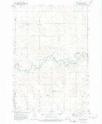
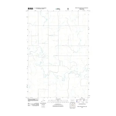
 1972 Pretty Rock Butte SE1975 Print · USGSThe Grant and Sioux county borderlands are captured here in the early 1970s, defined by the winding Cedar Creek. Researchers can trace the Standing Rock Indian Reservation Boundary and locate the historic Gaging Station and Pretty Rock butte.
 - 1972 Map of Round Top, 1975 Print
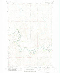
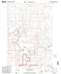
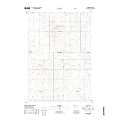
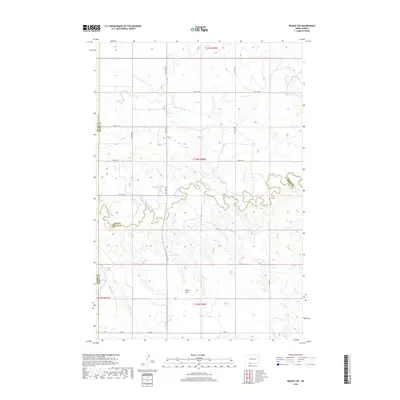
 1972 Round Top1975 Print · USGSThe North Dakota plains of the early 1970s are mapped here as the Standing Rock Indian Reservation meets three county lines. Genealogists and local historians can locate rural landmarks like Menz Sch and trace the Indian Reservation Boundary along the banks of Cedar Creek.
 - 1972 Map of Keldron, 1975 Print
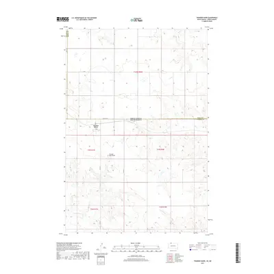
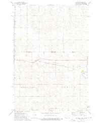 1972 Keldron1975 Print · USGSThe Dakota plains meet along the state line in the early seventies, centered on the rail-side community of Keldron. Local historians can trace the rural infrastructure of Sioux and Corson Counties, including the Knoke Sch and the Milwaukee Road line.
 - 1972 Map of Thunder Hawk, 1975 Print
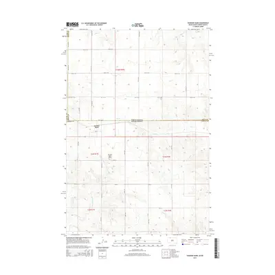
 1972 Thunder Hawk1975 Print · USGSThe Dakota borderlands come into focus in the early 1970s as the Chicago Milwaukee St Paul and Pacific rail line connects small prairie outposts. Genealogists and historians can trace the tracks through Thunder Hawk and locate landmarks like Thunder Hawk Butte and the settlement of Wheatland.
 - 1980 Map of Elgin
 1980 Elgin1980 Print · USGSNorth Dakota's southern plains come alive in the early eighties as the Standing Rock Indian Reservation meets the Cannonball River. Trace the rail lines serving Elgin and Carson, or locate family-named landmarks like Thompson Butte and Heil.
 - 1980 Map of McIntosh, 1981 Print
 1980 McIntosh1981 Print · USGSThe northern plains of the Standing Rock Indian Reservation are shown here as they appeared in the early 1980s. You can trace the railroad history of Corson County along the Chicago Milwaukee St Paul and Pacific line, connecting settlements like Watauga and Morristown.
 - 1998 Map of Keldron, 2001 Print
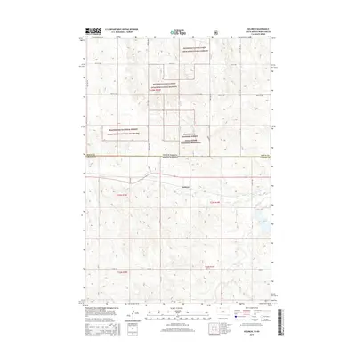
 1998 Keldron2001 Print · USGSDakota ranching country is documented here during the late 1990s, showing the intersection of the Standing Rock Indian Reservation and the Cedar River National Grassland. Genealogists and historians can trace family-named sites like the O Benson Ranch and C Johnson Ranch near the quiet settlement of Keldron.
 - 1998 Map of Pretty Rock Butte SE, 2001 Print
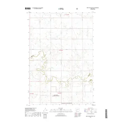
 1998 Pretty Rock Butte SE2001 Print · USGSThe northern plains near the Sioux and Grant County line appear in the late nineties as a vast landscape of open range and tribal lands. Researchers can locate specific family properties like the H Westphal Ranch and trace the winding course of Cedar Creek.
 - 2011 Map of Thunder Hawk, 2011 Print
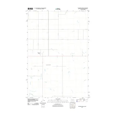 2011 Thunder Hawk2011 Print · USGSCovers Menz Township, including Thunder Hawk, Porcupine District, and other nearby areas
 - 2011 Map of Keldron, 2011 Print
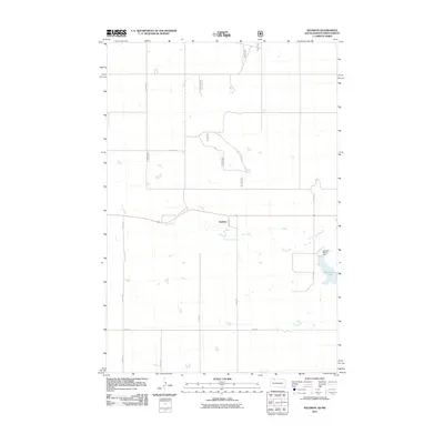 2011 Keldron2011 Print · USGSCovers Menz Township, including Keldron, Porcupine District, and other nearby areas
 - 2011 Map of Round Top, 2011 Print
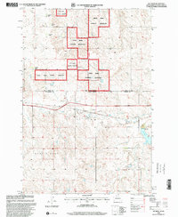
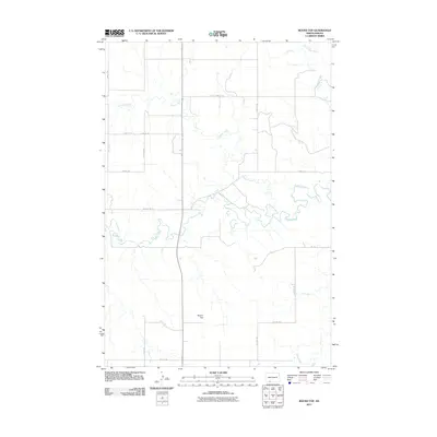 2011 Round Top2011 Print · USGSCovers Menz Township, including Porcupine District, Grant County, and other nearby areas
 - 2011 Map of Pretty Rock Butte SE, 2011 Print
 2011 Pretty Rock Butte SE2011 Print · USGSCovers Menz Township, including Porcupine District, Grant County, and other nearby areas
 - 2012 Map of Thunder Hawk, 2012 Print
 2012 Thunder Hawk2012 Print · USGSCovers Menz Township, including Thunder Hawk, Porcupine District, and other nearby areas
 - 2014 Map of Round Top, 2014 Print
 2014 Round Top2014 Print · USGSCovers Menz Township, including Porcupine District, Grant County, and other nearby areas
 - 2014 Map of Pretty Rock Butte SE, 2014 Print
 2014 Pretty Rock Butte SE2014 Print · USGSCovers Menz Township, including Porcupine District, Grant County, and other nearby areas
 - 2015 Map of Thunder Hawk, 2015 Print
 2015 Thunder Hawk2015 Print · USGSCovers Menz Township, including Thunder Hawk, Porcupine District, and other nearby areas
 - 2015 Map of Keldron, 2015 Print
 2015 Keldron2015 Print · USGSCovers Menz Township, including Keldron, Porcupine District, and other nearby areas
 - 2017 Map of Thunder Hawk, 2017 Print
 2017 Thunder Hawk2017 Print · USGSCovers Menz Township, including Thunder Hawk, Porcupine District, and other nearby areas
 - 2017 Map of Keldron, 2017 Print
 2017 Keldron2017 Print · USGSCovers Menz Township, including Keldron, Porcupine District, and other nearby areas
 - 2018 Map of Round Top, 2018 Print
 2018 Round Top2018 Print · USGSCovers Menz Township, including Porcupine District, Grant County, and other nearby areas
 - 2018 Map of Pretty Rock Butte SE, 2018 Print
 2018 Pretty Rock Butte SE2018 Print · USGSCovers Menz Township, including Porcupine District, Grant County, and other nearby areas
Showing maps 1-25 of 31
Top cities near Menz Township
Frequently asked questions
- What are the different types of historical maps available for Menz Township?
- What is the oldest map of Menz Township?
- Where can I purchase historical maps of Menz Township for my home or office?
- Where can I download high-res historical maps of Menz Township?
- Are there historical topographic maps available for Menz Township?
- Is there historical aerial imagery available for Menz Township?
- Where are historical maps of Menz Township sourced from?