2000s (21st Century) Maps of Menz Township, Porcupine District
Explore 19 historic maps of Menz Township from the 2000s (21st Century). These maps offer a rare glimpse into what life looked like during the 2000s — showing old roads, neighborhoods, homes, and landmarks that have changed or disappeared over time.
Whether you're researching your family's past, planning a metal detecting trip, or studying how Menz Township's landscape evolved across the 2000s, these high-resolution maps are a powerful tool for exploring the history of this region.
- Focus on a specific era: All maps on this page are from the 2000s, giving you a focused view of this time period.
- See what’s changed: Compare century-old streets, trails, and buildings to today's modern landscape using overlays and satellite layers.
- Research with precision: Use these maps for genealogy, historical research, land use analysis, or educational projects.
- View, download, or print: Maps are fully viewable online in high resolution, and can be downloaded or printed for your own records.
Start exploring Menz Township's history through authentic maps from the 2000s. This is your window into the past.
Menz Township, Porcupine District maps
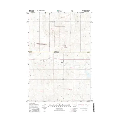
(19)- 2011 Map of Thunder Hawk, 2011 Print
 2011 Thunder Hawk2011 Print · USGSCovers Menz Township, including Thunder Hawk, Porcupine District, and other nearby areas
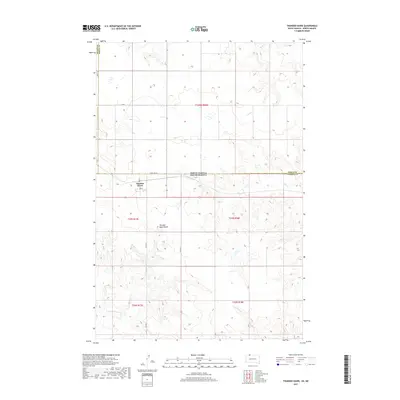
 - 2011 Map of Keldron, 2011 Print
 2011 Keldron2011 Print · USGSCovers Menz Township, including Keldron, Porcupine District, and other nearby areas
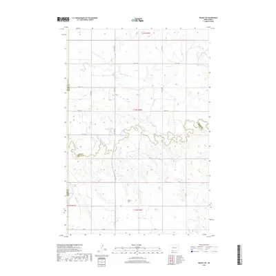
 - 2011 Map of Round Top, 2011 Print
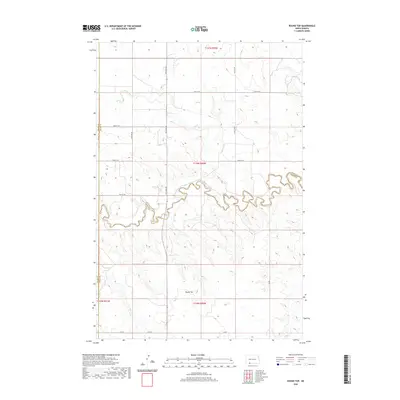
 2011 Round Top2011 Print · USGSCovers Menz Township, including Porcupine District, Grant County, and other nearby areas
 - 2011 Map of Pretty Rock Butte SE, 2011 Print
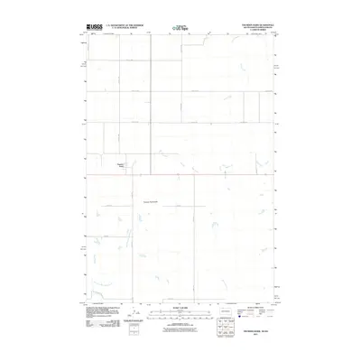
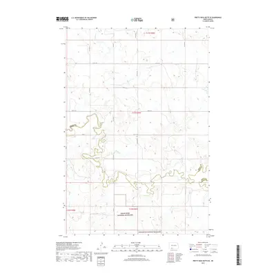
 2011 Pretty Rock Butte SE2011 Print · USGSCovers Menz Township, including Porcupine District, Grant County, and other nearby areas
 - 2012 Map of Thunder Hawk, 2012 Print
 2012 Thunder Hawk2012 Print · USGSCovers Menz Township, including Thunder Hawk, Porcupine District, and other nearby areas
 - 2014 Map of Round Top, 2014 Print
 2014 Round Top2014 Print · USGSCovers Menz Township, including Porcupine District, Grant County, and other nearby areas
 - 2014 Map of Pretty Rock Butte SE, 2014 Print
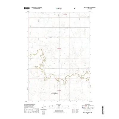
 2014 Pretty Rock Butte SE2014 Print · USGSCovers Menz Township, including Porcupine District, Grant County, and other nearby areas
 - 2015 Map of Thunder Hawk, 2015 Print
 2015 Thunder Hawk2015 Print · USGSCovers Menz Township, including Thunder Hawk, Porcupine District, and other nearby areas
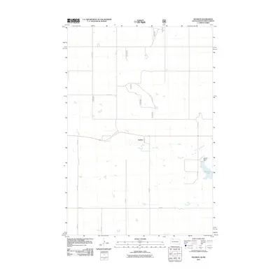
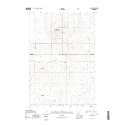
 - 2015 Map of Keldron, 2015 Print
 2015 Keldron2015 Print · USGSCovers Menz Township, including Keldron, Porcupine District, and other nearby areas
 - 2017 Map of Thunder Hawk, 2017 Print
 2017 Thunder Hawk2017 Print · USGSCovers Menz Township, including Thunder Hawk, Porcupine District, and other nearby areas
 - 2017 Map of Keldron, 2017 Print
 2017 Keldron2017 Print · USGSCovers Menz Township, including Keldron, Porcupine District, and other nearby areas
 - 2018 Map of Round Top, 2018 Print
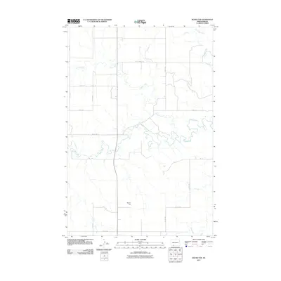
 2018 Round Top2018 Print · USGSCovers Menz Township, including Porcupine District, Grant County, and other nearby areas
 - 2018 Map of Pretty Rock Butte SE, 2018 Print
 2018 Pretty Rock Butte SE2018 Print · USGSCovers Menz Township, including Porcupine District, Grant County, and other nearby areas
 - 2020 Map of Round Top, 2020 Print
 2020 Round Top2020 Print · USGSCovers Menz Township, including Porcupine District, Grant County, and other nearby areas
 - 2020 Map of Pretty Rock Butte SE, 2020 Print
 2020 Pretty Rock Butte SE2020 Print · USGSCovers Menz Township, including Porcupine District, Grant County, and other nearby areas
 - 2021 Map of Keldron, 2021 Print
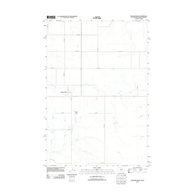
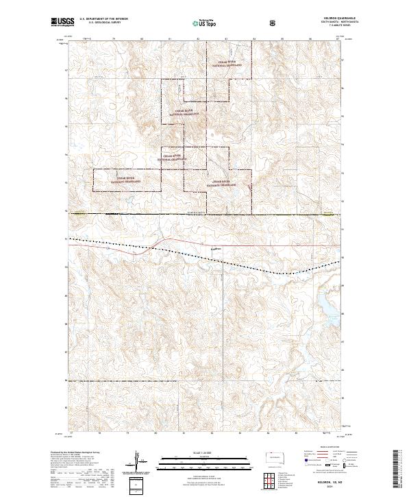 2021 Keldron2021 Print · USGSCorson County, South Dakota, is shown here in the early 2020s as a landscape of vast prairie and managed grasslands. Genealogists and historians can trace the rural road network surrounding Keldron and locate landmarks like Morristown Lake and Hay Cr.
 - 2021 Map of Thunder Hawk, 2021 Print
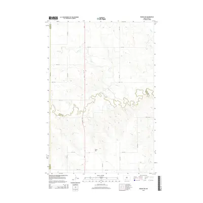
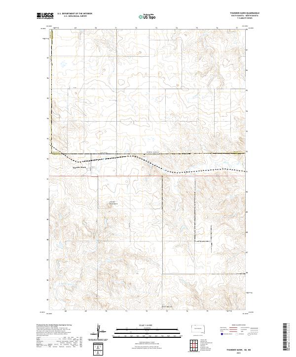 2021 Thunder Hawk2021 Print · USGSThe borderlands of the Dakotas come into focus in this 2021 study of the high plains. Researchers can trace the layout of Thunder Hawk just below the State Line Rd or locate natural landmarks like Thunder Hawk Butte and Turtle Cr.
 - 2024 Map of Pretty Rock Butte SE, 2024 Print
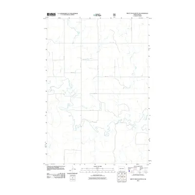
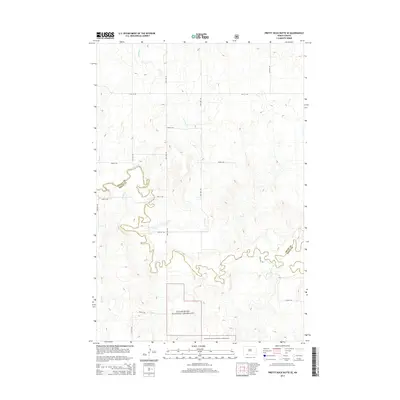
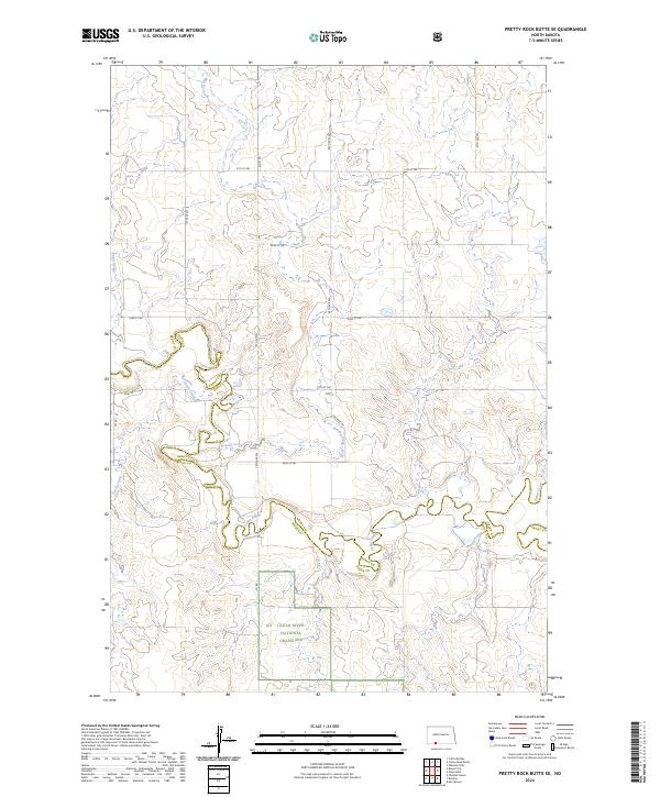 2024 Pretty Rock Butte SE2024 Print · USGSThe Grant and Sioux County borderlands remain a vast prairie landscape in this contemporary survey of the North Dakota plains. Researchers can trace the winding course of Brushy Creek and Cedar Creek or explore the boundaries of the Cedar River National Grassland.
 - 2024 Map of Round Top, 2024 Print
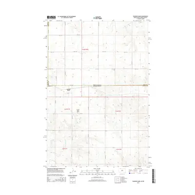
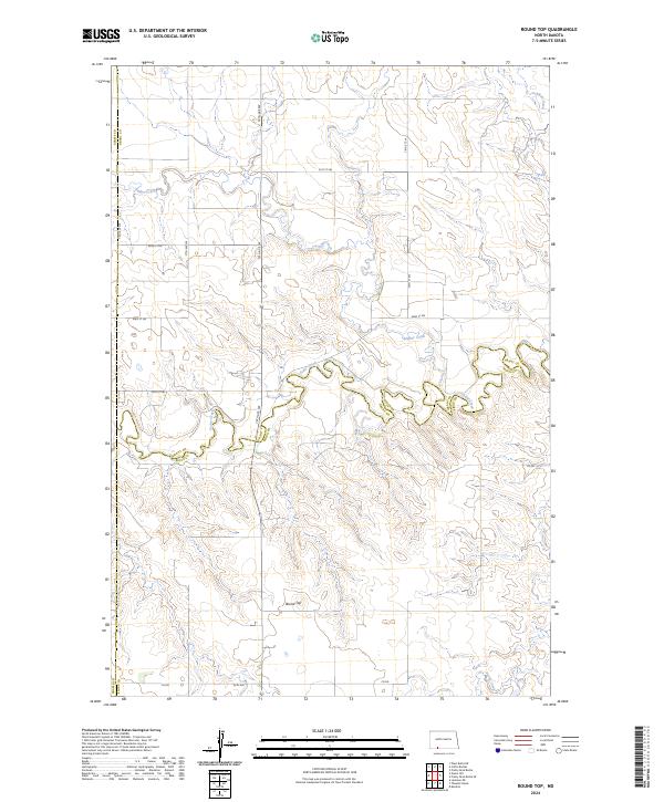 2024 Round Top2024 Print · USGSThe rural borderlands of Grant, Adams, and Sioux counties are captured here in the early twenty-first century. Researchers can trace the meandering path of Cedar Creek and locate landmarks like Round Top and Timber Creek.
End of results
Showing maps 1-19 of 19
Top cities near Menz Township
Frequently asked questions
- What are the different types of historical maps available for Menz Township?
- What is the oldest map of Menz Township?
- Where can I purchase historical maps of Menz Township for my home or office?
- Where can I download high-res historical maps of Menz Township?
- Are there historical topographic maps available for Menz Township?
- Is there historical aerial imagery available for Menz Township?
- Where are historical maps of Menz Township sourced from?