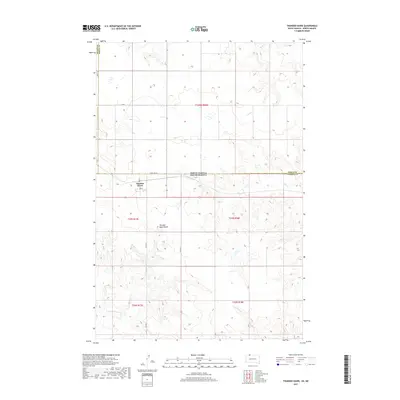
2017 Map of Thunder Hawk
USGS Topo · Published 2017About this map
The borderlands between the Dakotas center on the small settlement of Thunder Hawk, positioned just south of the State Line Rd where South Dakota and North Dakota meet. This landscape is defined by its subtle drainage patterns and isolated landmarks, most notably the Thunder Hawk Butte which rises as a distinct topographical feature to the south of the town. A simple grid of local routes like 32nd St SE and Co Rd 37 connects the sparse homesteads across this prairie terrain.
Find a feature on this map
21 named features on this map. Tap any name to fly to it.
Don’t see what you’re looking for? This feature index may not catch every label — zoom into the map to look around manually.
Map Details
Editions of this 2017 Thunder Hawk Map
This is the sole edition of this map. No revisions or reprints were ever made.
Other maps of this area

1953 · McIntosh
USGS Topo · 1:250,000

1953 · Dickinson
USGS Topo · 1:250,000

1954 · Lemmon
USGS Topo · 1:250,000

1954 · Bismarck
USGS Topo · 1:250,000

1957 · Dickinson
USGS Topo · 1:250,000

1957 · Lemmon
USGS Topo · 1:250,000

1958 · Bismarck
USGS Topo · 1:250,000

1958 · McIntosh
USGS Topo · 1:250,000

1972 · Pretty Rock Butte SE
USGS Topo · 1:24,000

1972 · Round Top
USGS Topo · 1:24,000
Featured Places
- Menz Township, Porcupine District
- Thunder Hawk, Rock Creek District
- Porcupine District, ND
- Rock Creek District, SD
- Adams County, ND