Old Maps of Menz Township, Porcupine District for Hiking & Exploration
Hike through history with 31 historic maps of Menz Township. Explore old trails, ghost towns, and forgotten backroads — perfect for outdoor adventurers and local explorers.
- Rediscover forgotten places: Map out old mining camps, roads, and footpaths that no longer exist on modern maps.
- Layer with modern tools: Combine with LiDAR or satellite views to plan hikes through historical terrain.
- Made for exploration: Popular among hikers, overlanders, and local history lovers.
Use these maps to find adventure and explore the hidden past of Menz Township.
Menz Township, Porcupine District maps
(31)- 1953 Map of McIntosh, 1965 Print
 1953 McIntosh1965 Print · USGSThe north-central Dakota prairie is captured here during the mid-fifties, showing the vast Standing Rock Indian Reservation and the newly formed Oah E Reservoir. Genealogists and historians can trace the Chicago Milwaukee St Paul and Pacific rail line through stops like McIntosh, Walker, and Eagle Butte.3 unique versions available
 - 1954 Map of Bismarck, 1967 Print
 1954 Bismarck1967 Print · USGSBismarck and the Missouri River basin are shown in the mid-1960s as the Oahe Reservoir reshaped the valley. Genealogists can trace family-named landmarks like Dog Tooth Buttes and small prairie settlements such as Fort Yates, Selfridge, and Brisbane.2 unique versions available
 - 1958 Map of Bismarck
 1958 Bismarck1958 Print · USGSCentral North Dakota in the late fifties is defined by the Missouri River and the sprawling Standing Rock Indian Reservation. Genealogists and historians can trace rail-line outposts like Sedalia Siding or explore local landmarks like Saint Anthony and Fort Lincoln State Park/Museum.
 - 1958 Map of McIntosh
 1958 McIntosh1958 Print · USGSThe north-central Dakotas appear here in the mid-1950s as massive engineering projects and rail lines shaped the plains. Researchers can trace tribal lands within the Standing Rock Indian Reservation and locate local landmarks like the Keller Mine or the Virginia Siding.
 - 1972 Map of Pretty Rock Butte SE, 1975 Print
 1972 Pretty Rock Butte SE1975 Print · USGSThe Grant and Sioux county borderlands are captured here in the early 1970s, defined by the winding Cedar Creek. Researchers can trace the Standing Rock Indian Reservation Boundary and locate the historic Gaging Station and Pretty Rock butte.
 - 1972 Map of Round Top, 1975 Print
 1972 Round Top1975 Print · USGSThe North Dakota plains of the early 1970s are mapped here as the Standing Rock Indian Reservation meets three county lines. Genealogists and local historians can locate rural landmarks like Menz Sch and trace the Indian Reservation Boundary along the banks of Cedar Creek.
 - 1972 Map of Keldron, 1975 Print
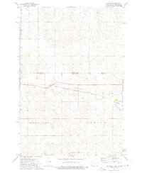 1972 Keldron1975 Print · USGSThe Dakota plains meet along the state line in the early seventies, centered on the rail-side community of Keldron. Local historians can trace the rural infrastructure of Sioux and Corson Counties, including the Knoke Sch and the Milwaukee Road line.
 - 1972 Map of Thunder Hawk, 1975 Print
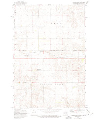 1972 Thunder Hawk1975 Print · USGSThe Dakota borderlands come into focus in the early 1970s as the Chicago Milwaukee St Paul and Pacific rail line connects small prairie outposts. Genealogists and historians can trace the tracks through Thunder Hawk and locate landmarks like Thunder Hawk Butte and the settlement of Wheatland.
 - 1980 Map of Elgin
 1980 Elgin1980 Print · USGSNorth Dakota's southern plains come alive in the early eighties as the Standing Rock Indian Reservation meets the Cannonball River. Trace the rail lines serving Elgin and Carson, or locate family-named landmarks like Thompson Butte and Heil.
 - 1980 Map of McIntosh, 1981 Print
 1980 McIntosh1981 Print · USGSThe northern plains of the Standing Rock Indian Reservation are shown here as they appeared in the early 1980s. You can trace the railroad history of Corson County along the Chicago Milwaukee St Paul and Pacific line, connecting settlements like Watauga and Morristown.
 - 1998 Map of Keldron, 2001 Print
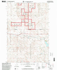 1998 Keldron2001 Print · USGSDakota ranching country is documented here during the late 1990s, showing the intersection of the Standing Rock Indian Reservation and the Cedar River National Grassland. Genealogists and historians can trace family-named sites like the O Benson Ranch and C Johnson Ranch near the quiet settlement of Keldron.
 - 1998 Map of Pretty Rock Butte SE, 2001 Print
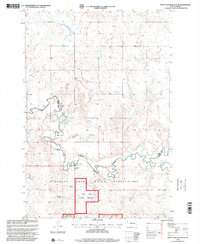 1998 Pretty Rock Butte SE2001 Print · USGSThe northern plains near the Sioux and Grant County line appear in the late nineties as a vast landscape of open range and tribal lands. Researchers can locate specific family properties like the H Westphal Ranch and trace the winding course of Cedar Creek.
 - 2011 Map of Thunder Hawk, 2011 Print
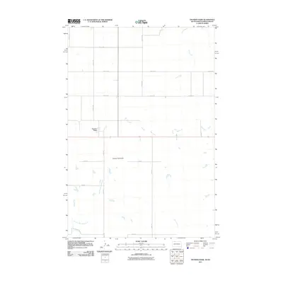 2011 Thunder Hawk2011 Print · USGSThe borderlands of South Dakota and North Dakota are documented here in the early twenty-first century, showing a remote prairie landscape. Researchers can locate the settlement of Thunder Hawk and trace the paths of Turtle Creek and Thunder Hawk Butte.
 - 2011 Map of Keldron, 2011 Print
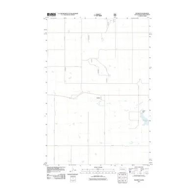 2011 Keldron2011 Print · USGSThe Sioux County prairie comes into focus in the early 2010s, showing a landscape shaped by rural section lines and local water management. Researchers can trace the layout of Keldron and find landmarks like Morristown Lake and the Leonard Wenck Dam.
 - 2011 Map of Round Top, 2011 Print
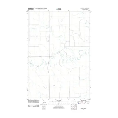 2011 Round Top2011 Print · USGSSioux County's open prairie and winding waterways are captured in the early twenty-first century as agricultural life follows the land's natural contours. Genealogists and land historians can trace property boundaries near Round Top or along the banks of Cedar Creek and Timber Creek.
 - 2011 Map of Pretty Rock Butte SE, 2011 Print
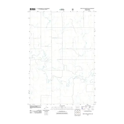 2011 Pretty Rock Butte SE2011 Print · USGSSioux County's open rangeland is documented here in the early twenty-first century, showing the intersection of vital waterways and section roads. Researchers can trace the winding paths of Cedar Creek and Brushy Creek alongside local routes like 90th Ave SW.
 - 2012 Map of Thunder Hawk, 2012 Print
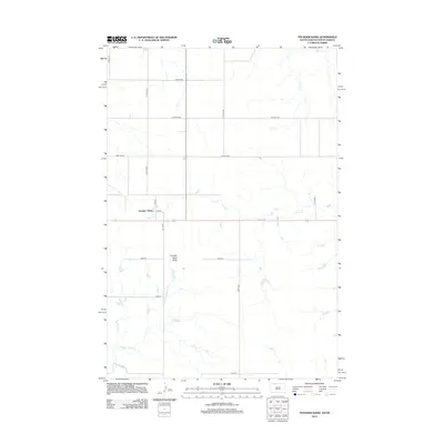 2012 Thunder Hawk2012 Print · USGSThe borderlands of North and South Dakota are documented here in 2012, centered on the small settlement of Thunder Hawk. Local historians and genealogists can trace the rural landscape from Thunder Hawk Butte down to the banks of Hay Cr and Willow Cr.
 - 2014 Map of Round Top, 2014 Print
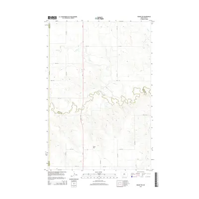 2014 Round Top2014 Print · USGSThe rural intersection of Sioux, Grant, and Adams counties is captured here in the early twenty-first century. Researchers can trace the meandering path of Cedar Creek and locate landmarks like Round Top amidst a grid of section-line roads like 91st St SW.
 - 2014 Map of Pretty Rock Butte SE, 2014 Print
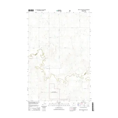 2014 Pretty Rock Butte SE2014 Print · USGSSioux County prairie and river bottoms are shown in detail during the early 21st century. Researchers can trace the winding course of Cedar Creek through the Cedar River National Grassland or follow the paths of Turtle Cr and Alkali Cr.
 - 2015 Map of Thunder Hawk, 2015 Print
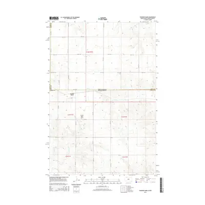 2015 Thunder Hawk2015 Print · USGSThe borderlands of the Dakotas are captured here during the mid-2010s, showing the settlement of Thunder Hawk straddling the state line. Genealogists and researchers can trace the rural grid from Thunder Hawk Butte to the drainages of Turtle Cr and Hay Cr.
 - 2015 Map of Keldron, 2015 Print
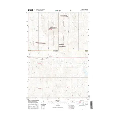 2015 Keldron2015 Print · USGSThe borderlands of North and South Dakota are captured here in the mid-2010s, showcasing the rural settlement of Keldron. Local historians can trace the drainage of Hay Cr toward Morristown Lake and explore the vast extent of the Beaverhead National Forest Cedar River National Grassland.
 - 2017 Map of Thunder Hawk, 2017 Print
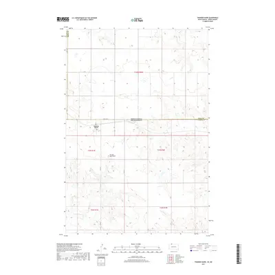 2017 Thunder Hawk2017 Print · USGSThe Dakota borderlands come into focus in this late-career survey of the prairie surrounding Thunder Hawk. Local historians and genealogists can trace property lines and watercourses like Turtle Cr and Hay Cr along the State Line Rd.
 - 2017 Map of Keldron, 2017 Print
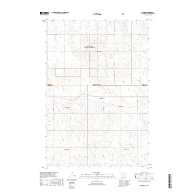 2017 Keldron2017 Print · USGSThe North Dakota and South Dakota borderlands appear in this modern survey of the prairie. Genealogists and historians can trace the road network around Keldron, the extent of the Cedar River National Grassland, and Morristown Lake.
 - 2018 Map of Round Top, 2018 Print
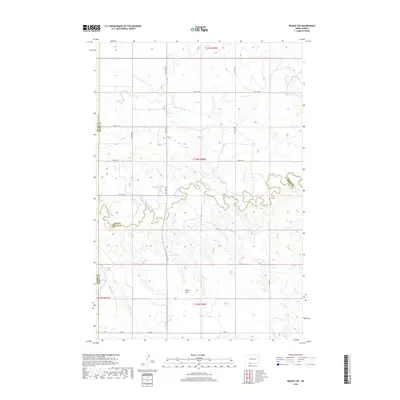 2018 Round Top2018 Print · USGSSouthwestern North Dakota's open range and agricultural grid are captured here in the late 2010s. Local researchers can trace property boundaries and natural drainages like Round Top, Cedar Cr, and Timber Cr across the Sioux and Grant county lines.
 - 2018 Map of Pretty Rock Butte SE, 2018 Print
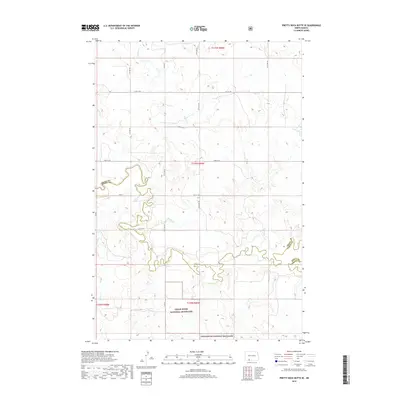 2018 Pretty Rock Butte SE2018 Print · USGSSioux and Grant counties meet along the winding waters of the Cedar Cr in this contemporary look at the North Dakota prairie. Researchers can trace the intersection of the Cedar River National Grassland with local thoroughfares like Elgin Rd and Co Rd.
Showing maps 1-25 of 31
Top cities near Menz Township
Frequently asked questions
- What are the different types of historical maps available for Menz Township?
- What is the oldest map of Menz Township?
- Where can I purchase historical maps of Menz Township for my home or office?
- Where can I download high-res historical maps of Menz Township?
- Are there historical topographic maps available for Menz Township?
- Is there historical aerial imagery available for Menz Township?
- Where are historical maps of Menz Township sourced from?