Old Maps of Beulah Township, South Dakota for Hiking & Exploration
Hike through history with 25 historic maps of Beulah Township. Explore old trails, ghost towns, and forgotten backroads — perfect for outdoor adventurers and local explorers.
- Rediscover forgotten places: Map out old mining camps, roads, and footpaths that no longer exist on modern maps.
- Layer with modern tools: Combine with LiDAR or satellite views to plan hikes through historical terrain.
- Made for exploration: Popular among hikers, overlanders, and local history lovers.
Use these maps to find adventure and explore the hidden past of Beulah Township.
Beulah Township, SD maps
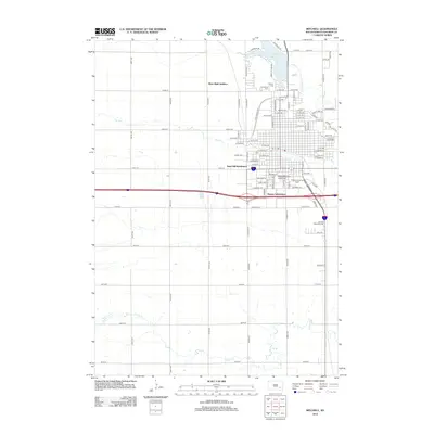
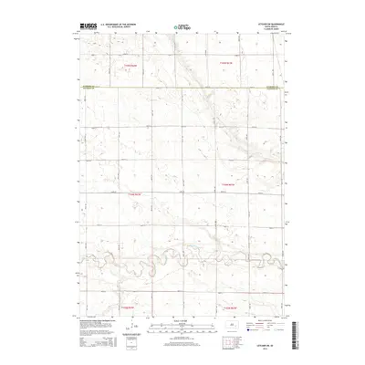
(25)- 1899 Map of Mitchell
 1899 Mitchell1899 Print · USGSSoutheastern South Dakota is captured during the era of rapid railroad expansion and prairie settlement. Genealogists can trace the early rail stops at Mt. Vernon and Letcher, or locate old watercourses like Enemy Creek and the James River.3 unique versions available
 - 1955 Map of Mitchell, 1973 Print
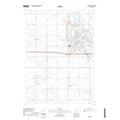
 1955 Mitchell1973 Print · USGSThe Missouri River valley undergoes a massive transformation in the mid-1950s as the Fort Randall Dam creates Lake Francis Case. You can trace the rail lines of the Chicago Milwaukee St Paul and Pacific through Mitchell or locate local landmarks like Butler Town Hall.2 unique versions available
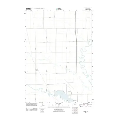
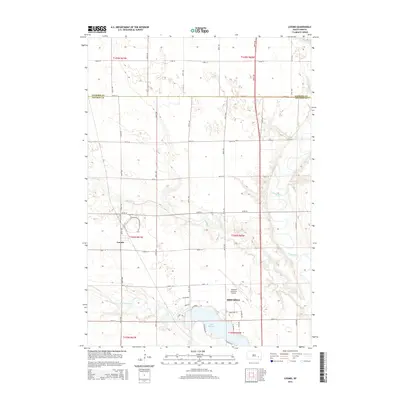
 - 1957 Map of Loomis, 1958 Print
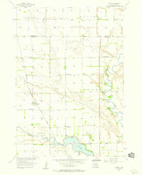 1957 Loomis1958 Print · USGSThe prairie landscape of Davison County in the late fifties is captured here through its network of rural schoolhouses and rail lines. Genealogists can locate specific homestead regions near Loomis and trace historical landmarks like Titus Sch and the CHICAGO MILWAUKEE ST PAUL AND PACIFIC railroad.2 unique versions available
 - 1957 Map of Mitchell, 1959 Print
 1957 Mitchell1959 Print · USGSMitchell thrives as a mid-century hub of education and rail commerce on the South Dakota plains. Genealogists and historians can trace the community's footprint through the Corn Palace, Dakota Wesleyan University, and numerous rural landmarks like School No 27.2 unique versions available
 - 1959 Map of Mitchell
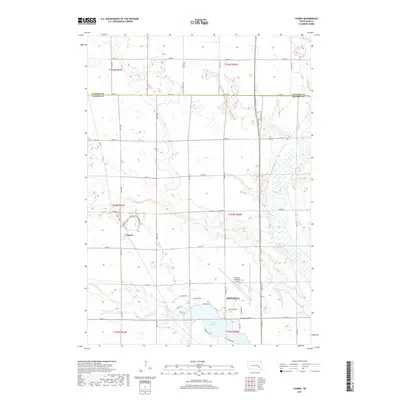
 1959 Mitchell1959 Print · USGSSouth Dakota’s river and rail corridors come alive in the late fifties as the Missouri River valley undergoes dramatic change. Genealogists and historians can trace family roots through numerous small towns and schools such as Academy, Stickney, and Gregory.2 unique versions available
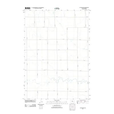
 - 1979 Map of Letcher SW, 1980 Print
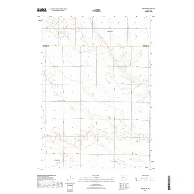
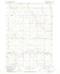 1979 Letcher SW1980 Print · USGSThe South Dakota plains near the Sanborn and Davison county line appear here in the late seventies as a landscape of structured townships and prairie waterways. Researchers can locate artesian Flowing Wells, the path of the Chicago Milwaukee St Paul and Pacific railroad, and the winding course of Firesteel Creek.
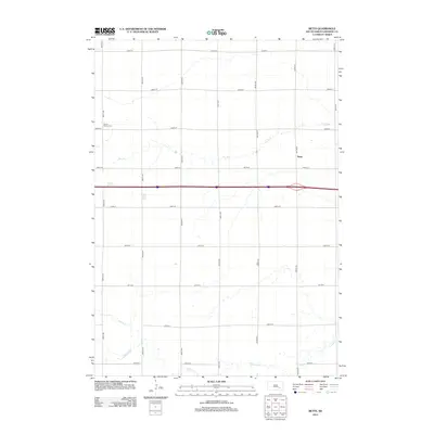
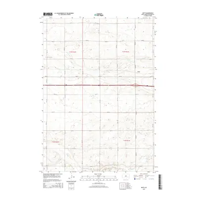
 - 1980 Map of Betts
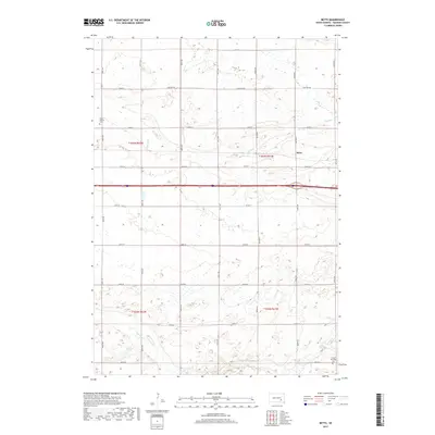
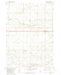 1980 Betts1980 Print · USGSThe Davison County prairie in the late seventies is defined by its rural townships and rail corridors. Trace the path of the Chicago Milwaukee St Paul and Pacific railroad past Betts and the Mt Vernon Cem.
 - 1986 Map of Mitchell
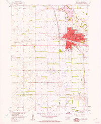
 1986 Mitchell1986 Print · USGSMitchell and the surrounding prairie towns are documented in the mid-1980s as the regional rail and agricultural network matured. Genealogists can locate specific sites like the State Training Sch, Aurora Center, and the Cedar Grove Colony.2 unique versions available
 - 1990 Map of Mitchell, 1991 Print
 1990 Mitchell1991 Print · USGSThe Missouri River and the surrounding South Dakota plains are captured here in the early nineties, showing a landscape shaped by water and wire. Genealogists and historians can trace the gridded townships from Mitchell to the Bijou Hills, locating sites like the Platte Colony and Academy.
 - 2012 Map of Mitchell, 2012 Print
 2012 Mitchell2012 Print · USGSCovers Beulah Township, including Mitchell, Lisbon Township, and other nearby areas
 - 2012 Map of Loomis, 2012 Print
 2012 Loomis2012 Print · USGSCovers Beulah Township, including Mitchell, Butler Township, and other nearby areas
 - 2012 Map of Betts, 2012 Print
 2012 Betts2012 Print · USGSCovers Beulah Township, including Union Township, Lisbon Township, and other nearby areas
 - 2012 Map of Letcher SW, 2012 Print
 2012 Letcher SW2012 Print · USGSCovers Beulah Township, including Badger Township, Elliott Township, and other nearby areas
 - 2015 Map of Letcher SW, 2015 Print
 2015 Letcher SW2015 Print · USGSCovers Beulah Township, including Badger Township, Elliott Township, and other nearby areas
 - 2015 Map of Loomis, 2015 Print
 2015 Loomis2015 Print · USGSCovers Beulah Township, including Mitchell, Butler Township, and other nearby areas
 - 2015 Map of Betts, 2015 Print
 2015 Betts2015 Print · USGSCovers Beulah Township, including Union Township, Lisbon Township, and other nearby areas
 - 2015 Map of Mitchell, 2015 Print
 2015 Mitchell2015 Print · USGSCovers Beulah Township, including Mitchell, Lisbon Township, and other nearby areas
 - 2017 Map of Betts, 2017 Print
 2017 Betts2017 Print · USGSCovers Beulah Township, including Union Township, Lisbon Township, and other nearby areas
 - 2017 Map of Letcher SW, 2017 Print
 2017 Letcher SW2017 Print · USGSCovers Beulah Township, including Badger Township, Elliott Township, and other nearby areas
 - 2017 Map of Mitchell, 2017 Print
 2017 Mitchell2017 Print · USGSCovers Beulah Township, including Mitchell, Lisbon Township, and other nearby areas
 - 2017 Map of Loomis, 2017 Print
 2017 Loomis2017 Print · USGSCovers Beulah Township, including Mitchell, Butler Township, and other nearby areas
 - 2021 Map of Letcher SW, 2021 Print
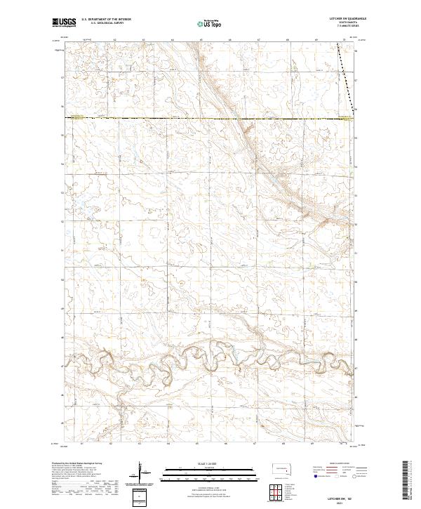 2021 Letcher SW2021 Print · USGSThe rural prairie of Davison and Sanborn counties is captured here in the early twenty-first century, showing the intersection of natural waterways and human engineering. Genealogists and researchers can trace the course of Firesteel Creek and navigate the grid of section-line roads like Co Rd 3 and 401st Ave.
 - 2021 Map of Loomis, 2021 Print
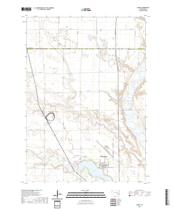 2021 Loomis2021 Print · USGSThe rural expanse north of Mitchell is captured here in the early 2020s, showing the settled prairie at the Davison and Sanborn county line. Local historians can trace the paths of Dry Run and Firesteel Creek as they approach Lake Mitchell and the small town of Loomis.
 - 2021 Map of Mitchell, 2021 Print
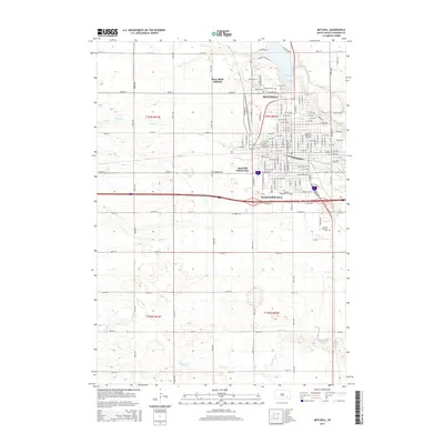
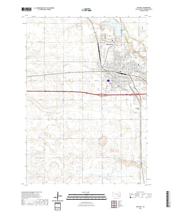 2021 Mitchell2021 Print · USGSThe city of Mitchell is captured in the early twenty-first century as a growing center of education and local government. Genealogists can locate family sites at Calvary Cem and Graceland Cem, or trace the campus of Dakota Wesleyan University.
 - 2021 Map of Betts, 2021 Print
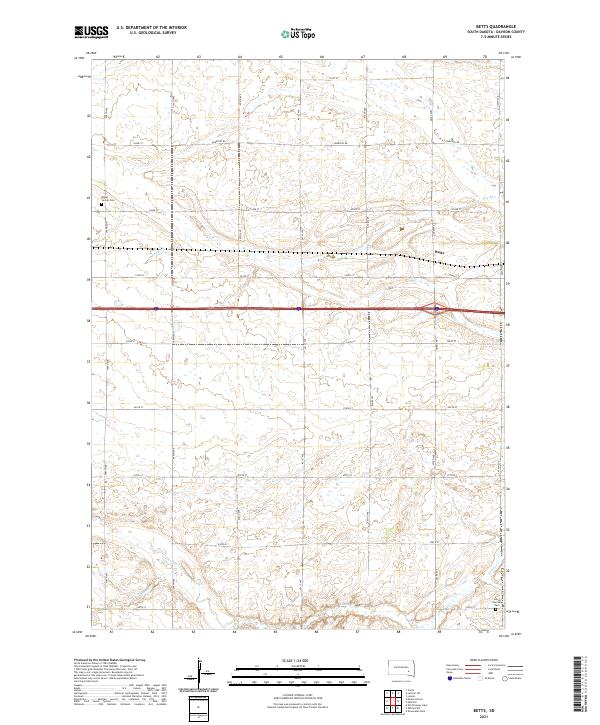 2021 Betts2021 Print · USGSDavison County at the start of the 2020s shows a landscape of steady agricultural continuity and quiet rural centers. Genealogists and local historians can locate several important sites including Mount Vernon Cem, Lisbon Township Cem, and the settlement of Betts.
End of results
Showing maps 1-25 of 25
Top cities near Beulah Township
- Mitchell historical maps
- Mount Vernon historical maps
- Ethan historical maps
- Letcher historical maps
- Plano historical maps
Top neighborhoods of Beulah Township
Frequently asked questions
- What are the different types of historical maps available for Beulah Township?
- What is the oldest map of Beulah Township?
- Where can I purchase historical maps of Beulah Township for my home or office?
- Where can I download high-res historical maps of Beulah Township?
- Are there historical topographic maps available for Beulah Township?
- Is there historical aerial imagery available for Beulah Township?
- Where are historical maps of Beulah Township sourced from?