Old Maps of Roslyn, South Dakota for Hiking & Exploration
Hike through history with 14 historic maps of Roslyn. Explore old trails, ghost towns, and forgotten backroads — perfect for outdoor adventurers and local explorers.
- Rediscover forgotten places: Map out old mining camps, roads, and footpaths that no longer exist on modern maps.
- Layer with modern tools: Combine with LiDAR or satellite views to plan hikes through historical terrain.
- Made for exploration: Popular among hikers, overlanders, and local history lovers.
Use these maps to find adventure and explore the hidden past of Roslyn.
Roslyn, SD maps
(14)- 1953 Map of Milbank, 1958 Print
 1953 Milbank1958 Print · USGSThe tri-state border region of South Dakota, North Dakota, and Minnesota is shown here during the early fifties, a landscape defined by glacial lakes and the Sisseton Indian Reservation. Researchers can trace the legacy of the western railroads, locating old stops along the Great Northern and settlements like Milbank, Webster, and Sisseton.3 unique versions available
 - 1958 Map of Milbank
 1958 Milbank1958 Print · USGSThe northern Great Plains in the late fifties show a landscape of glacial lakes and reservation lands shaped by the Great Northern railroad. Genealogists and local historians can trace the grid of settlements from Britton to Milbank and locate landmarks like Enemy Swim Lake and the Sisseton Indian Reservation.
 - 1970 Map of Eden, 1973 Print
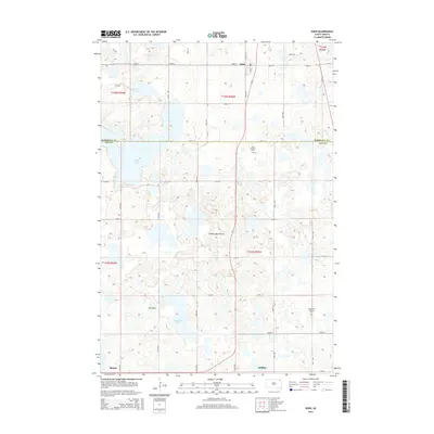
 1970 Eden1973 Print · USGSThe Marshall and Day County borderlands are shown in the early 1970s, featuring the prairie wetlands around Eden and Roslyn. Researchers can trace the Old Fort Sisseton Military Reservation Boundary or locate St Michael Cem and the local Townhall.
 - 1970 Map of Roslyn, 1973 Print
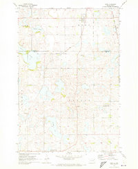
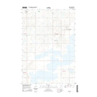
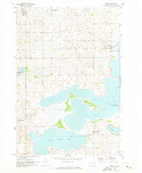 1970 Roslyn1973 Print · USGSThe glacial lakes and rail-bound prairie towns of Day County are captured here in the early seventies. Genealogists and local researchers can trace the Soo Line between Roslyn and Grenville or locate the Roslyn Cem near the shoreline.
 - 1979 Map of Sisseton, 1980 Print
 1979 Sisseton1980 Print · USGSNortheastern South Dakota and the North Dakota borderlands appear here in the late seventies, centered on the high glacial plateau. Genealogists and historians can trace the Sisseton Indian Reservation and rail-stop towns like Britton and Lake City.
 - 1985 Map of Webster
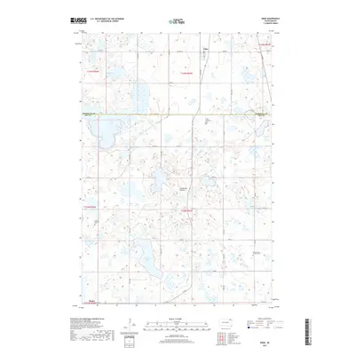
 1985 Webster1985 Print · USGSNortheastern South Dakota in the mid-eighties reveals a landscape of prairie potholes and rail-line towns centered on the Webster region. Genealogists and historians can trace rail-town development along the Burlington Northern and find early conservation boundaries like the Waubay National Wildlife Refuge.2 unique versions available
 - 2012 Map of Eden, 2012 Print
 2012 Eden2012 Print · USGSCovers Roslyn, including Eden, Clear Lake, and other nearby areas
 - 2012 Map of Roslyn, 2012 Print
 2012 Roslyn2012 Print · USGSCovers Roslyn, including Grenville, Day County, and other nearby areas
 - 2015 Map of Roslyn, 2015 Print
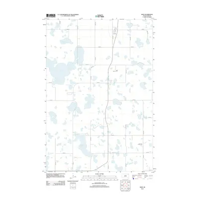
 2015 Roslyn2015 Print · USGSCovers Roslyn, including Grenville, Day County, and other nearby areas
 - 2015 Map of Eden, 2015 Print
 2015 Eden2015 Print · USGSCovers Roslyn, including Eden, Clear Lake, and other nearby areas
 - 2017 Map of Eden, 2017 Print
 2017 Eden2017 Print · USGSCovers Roslyn, including Eden, Clear Lake, and other nearby areas
 - 2017 Map of Roslyn, 2017 Print
 2017 Roslyn2017 Print · USGSCovers Roslyn, including Grenville, Day County, and other nearby areas
 - 2021 Map of Eden, 2021 Print
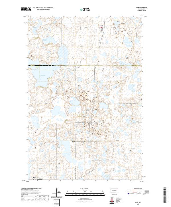 2021 Eden2021 Print · USGSNortheastern South Dakota's glacial landscape is meticulously detailed here, showing the rural communities of Eden and Roslyn in the early 2020s. Researchers can trace family roots through landmarks like Saint Michael's Cem, German Lutheran Cem, and Hazelden Lake.
 - 2021 Map of Roslyn, 2021 Print
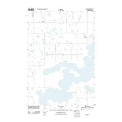
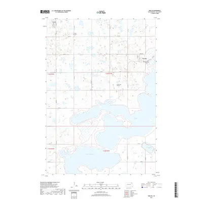
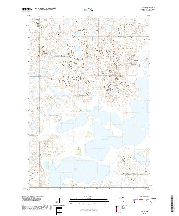 2021 Roslyn2021 Print · USGSDay County settlements and glacial lakes are the focus of this recent survey of the Coteau des Prairies. Researchers can trace local heritage sites like the Roslyn Lutheran Cem and Saint Joseph Catholic Cem near Grenville.
End of results
Showing maps 1-14 of 14
Top cities near Roslyn
- Webster historical maps
- Waubay historical maps
- Eden historical maps
- Grenville historical maps
- Lake City historical maps
Frequently asked questions
- What are the different types of historical maps available for Roslyn?
- What is the oldest map of Roslyn?
- Where can I purchase historical maps of Roslyn for my home or office?
- Where can I download high-res historical maps of Roslyn?
- Are there historical topographic maps available for Roslyn?
- Is there historical aerial imagery available for Roslyn?
- Where are historical maps of Roslyn sourced from?