Old Maps of Goodwin Township, South Dakota for Metal Detecting
Plan your next treasure hunt with 33 historic maps of Goodwin Township. Find old homesites, ghost towns, trails, and gathering spots that may be lost to time — perfect for identifying promising metal detecting locations.
- Locate forgotten sites: Uncover places like long-lost settlements, abandoned rail lines, or gathering spots.
- Plan better hunts: Use map overlays combined with LiDAR or satellite views to narrow in on historically rich areas.
- Made for detectorists: Thousands of hobbyists use these maps to discover relics, coins, and hidden history.
Use these historic maps to boost your research and find new opportunities beneath the surface of Goodwin Township.
Goodwin Township, SD maps
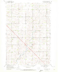
(33)- 1953 Map of Watertown, 1968 Print
 1953 Watertown1968 Print · USGSEastern South Dakota and the Minnesota borderlands are captured here during the mid-twentieth century as the region's agricultural and rail-service centers thrived. Genealogists and local historians can trace family-named sites across the Coteau des Prairies and find landmarks in Watertown, De Smet, and Brookings.3 unique versions available
 - 1958 Map of Watertown
 1958 Watertown1958 Print · USGSThe eastern South Dakota prairie and the Minnesota borderlands are captured here in the late fifties, showcasing a landscape of terminal moraine lakes and burgeoning rail hubs. Genealogists and historians can trace the early paths of the Chicago and North Western railroad or locate family roots in Watertown, Clark, or the Sisseton Indian Reservation.2 unique versions available
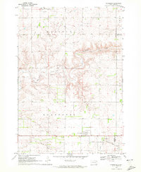
 - 1970 Map of Kranzburg SW, 1972 Print
 1970 Kranzburg SW1972 Print · USGSEastern South Dakota’s agricultural landscape is documented here just as modern highway expansion was beginning to reshape the prairie in the early seventies. Genealogists can locate the local Townhall or trace the winding path of Stray Horse Creek through the townships of Kranzburg and Hamlin.2 unique versions available
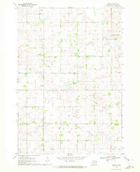
 - 1970 Map of Kranzburg, 1972 Print
 1970 Kranzburg1972 Print · USGSCodington County was established as a productive farming region by the 1970s, as shown in this detailed survey of the prairie landscape. Researchers can trace the Old Railroad Grade and locate family landmarks like Holy Rosary Cem and St Josephs Cem.
 - 1970 Map of Bemis, 1972 Print
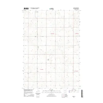
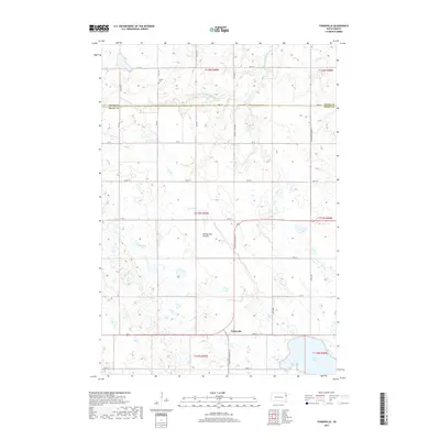
 1970 Bemis1972 Print · USGSSettled prairie life in Deuel County is captured here in the early seventies, showcasing a landscape of section-line roads and rural townships. Researchers can trace the Old Railroad Grade or locate family roots at Swedish Cem and Bemis Ch.
 - 1970 Map of Goodwin, 1972 Print
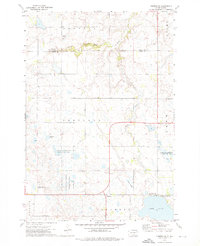
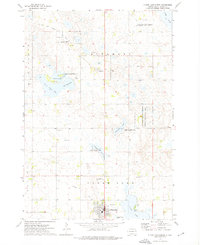
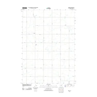
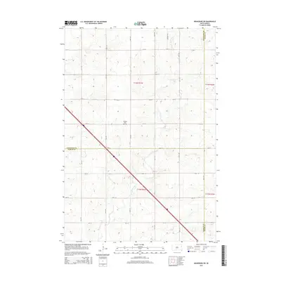
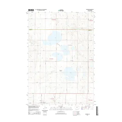
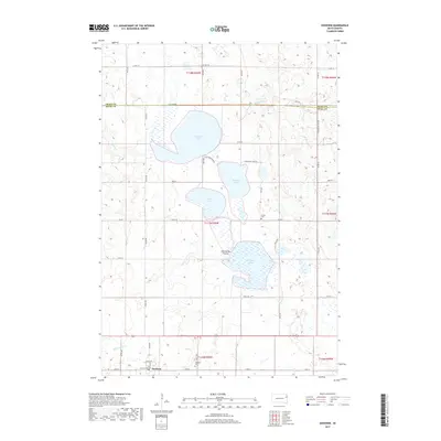
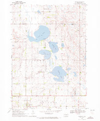 1970 Goodwin1972 Print · USGSDeuel County in the early seventies reveals a landscape of glacial lakes and prairie conservation. Genealogists and local historians can trace the Goodwin townsite, the Goodwin Cem, and the path of the Old Railroad Grade.2 unique versions available
 - 1973 Map of Tunerville, 1976 Print
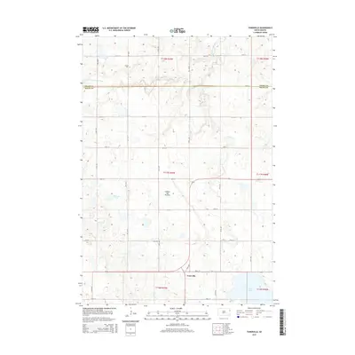
 1973 Tunerville1976 Print · USGSDeuel County's prairie wetlands and small crossroads settlements are captured here in the early 1970s. Local researchers can trace the rural layouts of Tunerville and Altamont or locate the Nelson Cem and Townhall among the numerous waterfowl production areas.
 - 1973 Map of Clear Lake North, 1976 Print
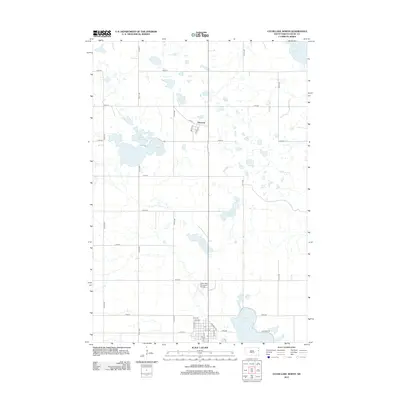
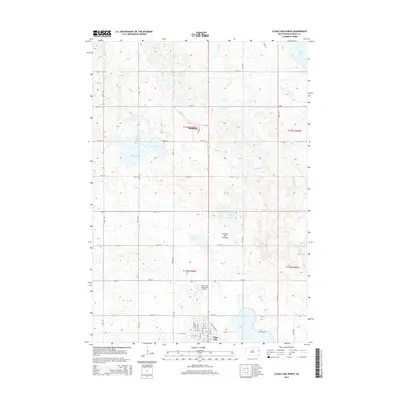
 1973 Clear Lake North1976 Print · USGSIn the early 1970s, this Deuel County landscape was a mosaic of prairie lakes and conservation lands near the seat of Clear Lake. Local historians can trace the Old Railroad Grade and identify civic landmarks like the Fairground and Altamont settlement.
 - 1985 Map of Clear Lake
 1985 Clear Lake1985 Print · USGSThe South Dakota and Minnesota borderlands are captured here in the mid-eighties as a landscape of prairie towns and wildlife refuges. Researchers can trace the legacy of regional transport through the Chicago and North Western tracks and the Old Railroad Grade.2 unique versions available
 - 2012 Map of Tunerville, 2012 Print
 2012 Tunerville2012 Print · USGSCovers Goodwin Township, including Portland Township, Altamont Township, and other nearby areas
 - 2012 Map of Kranzburg, 2012 Print
 2012 Kranzburg2012 Print · USGSCovers Goodwin Township, including Waverly, Kranzburg, and other nearby areas
 - 2012 Map of Bemis, 2012 Print
 2012 Bemis2012 Print · USGSCovers Goodwin Township, including Goodwin, Bemis, and other nearby areas
 - 2012 Map of Clear Lake North, 2012 Print
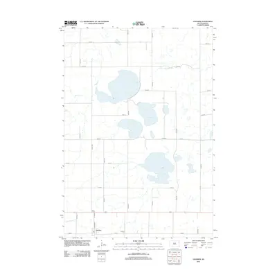
 2012 Clear Lake North2012 Print · USGSCovers Goodwin Township, including Clear Lake, Altamont, and other nearby areas
 - 2012 Map of Goodwin, 2012 Print
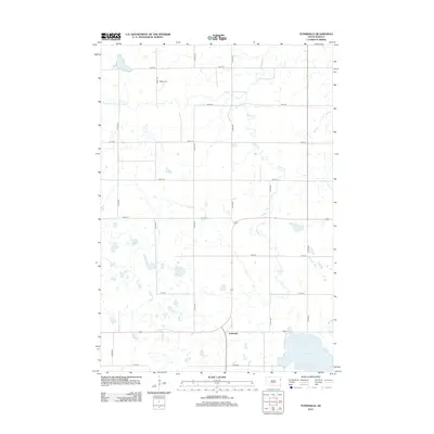
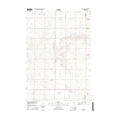
 2012 Goodwin2012 Print · USGSCovers Goodwin Township, including Goodwin, Portland Township, and other nearby areas
 - 2012 Map of Kranzburg SW, 2012 Print
 2012 Kranzburg SW2012 Print · USGSCovers Goodwin Township, including Havana Township, Kranzburg South Township, and other nearby areas
 - 2015 Map of Bemis, 2015 Print
 2015 Bemis2015 Print · USGSCovers Goodwin Township, including Goodwin, Bemis, and other nearby areas
 - 2015 Map of Kranzburg SW, 2015 Print
 2015 Kranzburg SW2015 Print · USGSCovers Goodwin Township, including Havana Township, Kranzburg South Township, and other nearby areas
 - 2015 Map of Tunerville, 2015 Print
 2015 Tunerville2015 Print · USGSCovers Goodwin Township, including Portland Township, Altamont Township, and other nearby areas
 - 2015 Map of Clear Lake North, 2015 Print
 2015 Clear Lake North2015 Print · USGSCovers Goodwin Township, including Clear Lake, Altamont, and other nearby areas
 - 2015 Map of Goodwin, 2015 Print
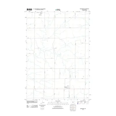
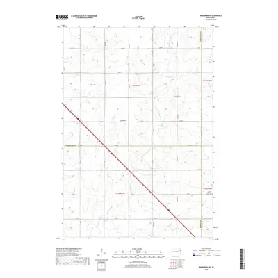
 2015 Goodwin2015 Print · USGSCovers Goodwin Township, including Goodwin, Portland Township, and other nearby areas
 - 2015 Map of Kranzburg, 2015 Print
 2015 Kranzburg2015 Print · USGSCovers Goodwin Township, including Waverly, Kranzburg, and other nearby areas
 - 2017 Map of Kranzburg SW, 2017 Print
 2017 Kranzburg SW2017 Print · USGSCovers Goodwin Township, including Havana Township, Kranzburg South Township, and other nearby areas
 - 2017 Map of Kranzburg, 2017 Print
 2017 Kranzburg2017 Print · USGSCovers Goodwin Township, including Waverly, Kranzburg, and other nearby areas
 - 2017 Map of Goodwin, 2017 Print
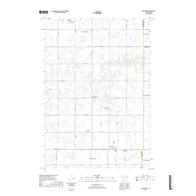
 2017 Goodwin2017 Print · USGSCovers Goodwin Township, including Goodwin, Portland Township, and other nearby areas
 - 2017 Map of Tunerville, 2017 Print
 2017 Tunerville2017 Print · USGSCovers Goodwin Township, including Portland Township, Altamont Township, and other nearby areas
Showing maps 1-25 of 33
Top cities near Goodwin Township
- Clear Lake historical maps
- Castlewood historical maps
- Dempster historical maps
- Waverly historical maps
- Kranzburg historical maps
- Goodwin historical maps
See more
Top neighborhoods of Goodwin Township
Frequently asked questions
- What are the different types of historical maps available for Goodwin Township?
- What is the oldest map of Goodwin Township?
- Where can I purchase historical maps of Goodwin Township for my home or office?
- Where can I download high-res historical maps of Goodwin Township?
- Are there historical topographic maps available for Goodwin Township?
- Is there historical aerial imagery available for Goodwin Township?
- Where are historical maps of Goodwin Township sourced from?