2000s (21st Century) Maps of Havana Township, South Dakota
Explore 24 historic maps of Havana Township from the 2000s (21st Century). These maps offer a rare glimpse into what life looked like during the 2000s — showing old roads, neighborhoods, homes, and landmarks that have changed or disappeared over time.
Whether you're researching your family's past, planning a metal detecting trip, or studying how Havana Township's landscape evolved across the 2000s, these high-resolution maps are a powerful tool for exploring the history of this region.
- Focus on a specific era: All maps on this page are from the 2000s, giving you a focused view of this time period.
- See what’s changed: Compare century-old streets, trails, and buildings to today's modern landscape using overlays and satellite layers.
- Research with precision: Use these maps for genealogy, historical research, land use analysis, or educational projects.
- View, download, or print: Maps are fully viewable online in high resolution, and can be downloaded or printed for your own records.
Start exploring Havana Township's history through authentic maps from the 2000s. This is your window into the past.
Havana Township, SD maps
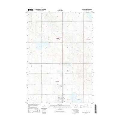
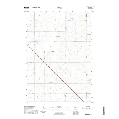
(24)- 2012 Map of Dempster, 2012 Print
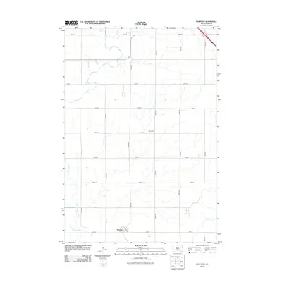 2012 Dempster2012 Print · USGSCovers Havana Township, including Dempster, Poinsett Hutterite Colony, and other nearby areas
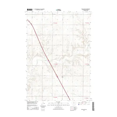
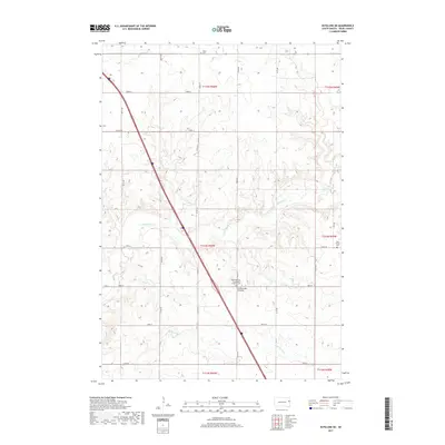
 - 2012 Map of Estelline NE, 2012 Print
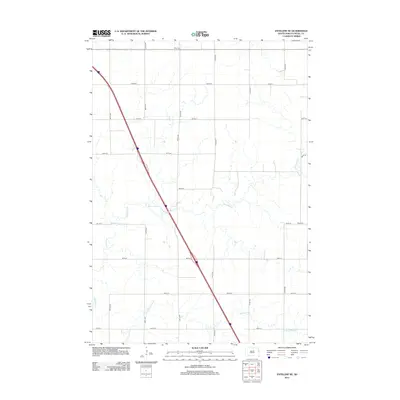 2012 Estelline NE2012 Print · USGSCovers Havana Township, including Blom Township, Brandt Township, and other nearby areas
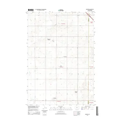
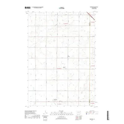
 - 2012 Map of Bemis, 2012 Print
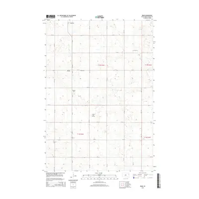
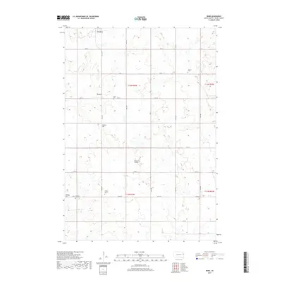
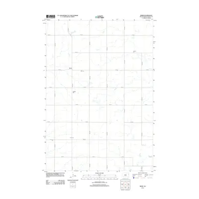 2012 Bemis2012 Print · USGSCovers Havana Township, including Goodwin, Bemis, and other nearby areas
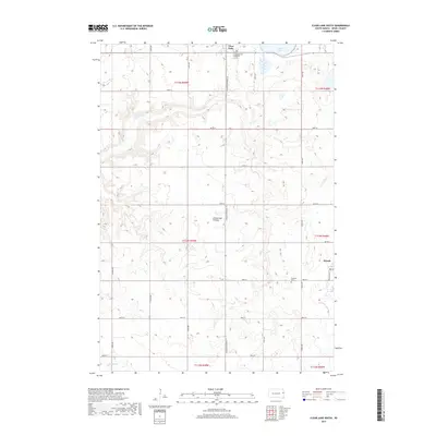
 - 2012 Map of Clear Lake South, 2012 Print
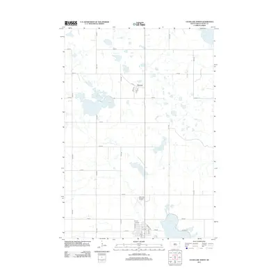
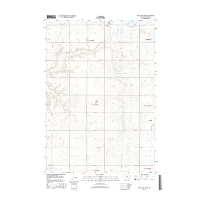
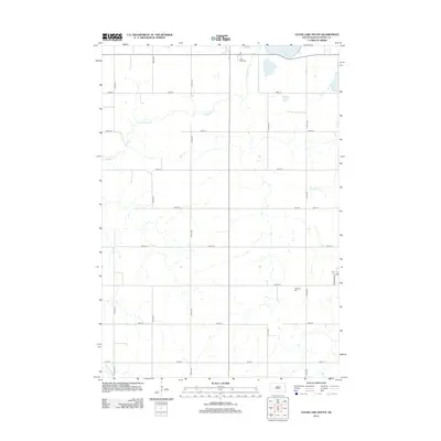 2012 Clear Lake South2012 Print · USGSCovers Havana Township, including Clear Lake, Brandt, and other nearby areas
 - 2012 Map of Clear Lake North, 2012 Print
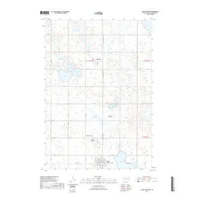
 2012 Clear Lake North2012 Print · USGSCovers Havana Township, including Clear Lake, Altamont, and other nearby areas
 - 2012 Map of Kranzburg SW, 2012 Print
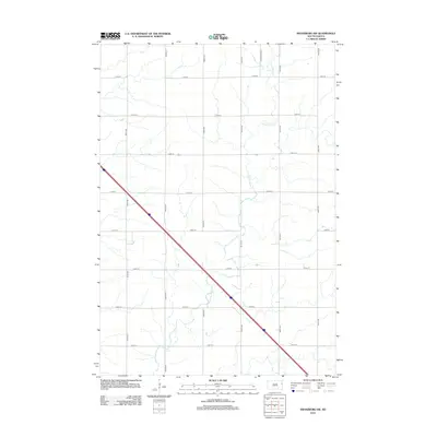 2012 Kranzburg SW2012 Print · USGSCovers Havana Township, including Goodwin Township, Kranzburg South Township, and other nearby areas
 - 2015 Map of Bemis, 2015 Print
 2015 Bemis2015 Print · USGSCovers Havana Township, including Goodwin, Bemis, and other nearby areas
 - 2015 Map of Kranzburg SW, 2015 Print
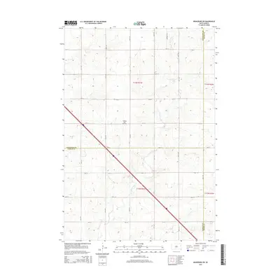 2015 Kranzburg SW2015 Print · USGSCovers Havana Township, including Goodwin Township, Kranzburg South Township, and other nearby areas
 - 2015 Map of Clear Lake South, 2015 Print
 2015 Clear Lake South2015 Print · USGSCovers Havana Township, including Clear Lake, Brandt, and other nearby areas
 - 2015 Map of Clear Lake North, 2015 Print
 2015 Clear Lake North2015 Print · USGSCovers Havana Township, including Clear Lake, Altamont, and other nearby areas
 - 2015 Map of Estelline NE, 2015 Print
 2015 Estelline NE2015 Print · USGSCovers Havana Township, including Blom Township, Brandt Township, and other nearby areas
 - 2015 Map of Dempster, 2015 Print
 2015 Dempster2015 Print · USGSCovers Havana Township, including Dempster, Poinsett Hutterite Colony, and other nearby areas
 - 2017 Map of Kranzburg SW, 2017 Print
 2017 Kranzburg SW2017 Print · USGSCovers Havana Township, including Goodwin Township, Kranzburg South Township, and other nearby areas
 - 2017 Map of Estelline NE, 2017 Print
 2017 Estelline NE2017 Print · USGSCovers Havana Township, including Blom Township, Brandt Township, and other nearby areas
 - 2017 Map of Dempster, 2017 Print
 2017 Dempster2017 Print · USGSCovers Havana Township, including Dempster, Poinsett Hutterite Colony, and other nearby areas
 - 2017 Map of Clear Lake South, 2017 Print
 2017 Clear Lake South2017 Print · USGSCovers Havana Township, including Clear Lake, Brandt, and other nearby areas
 - 2017 Map of Bemis, 2017 Print
 2017 Bemis2017 Print · USGSCovers Havana Township, including Goodwin, Bemis, and other nearby areas
 - 2017 Map of Clear Lake North, 2017 Print
 2017 Clear Lake North2017 Print · USGSCovers Havana Township, including Clear Lake, Altamont, and other nearby areas
 - 2021 Map of Kranzburg SW, 2021 Print
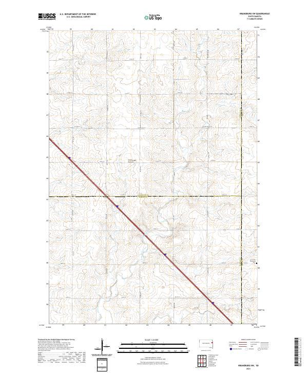 2021 Kranzburg SW2021 Print · USGSThe upland prairie of the tri-county border near Kranzburg is shown here in the early 2020s. Genealogists and researchers can trace local land divisions near the Christian Reformed Cem and follow the drainage of Stray Horse Creek.
 - 2021 Map of Clear Lake South, 2021 Print
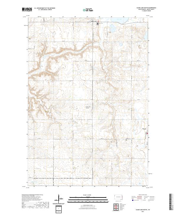 2021 Clear Lake South2021 Print · USGSDeuel County's high prairie landscape is captured here in the early twenty-first century, showing the rural sections between two local centers. Researchers can locate Lakeview Cem and Highland Cem or trace the headwaters of Hidewood Cr.
 - 2021 Map of Estelline NE, 2021 Print
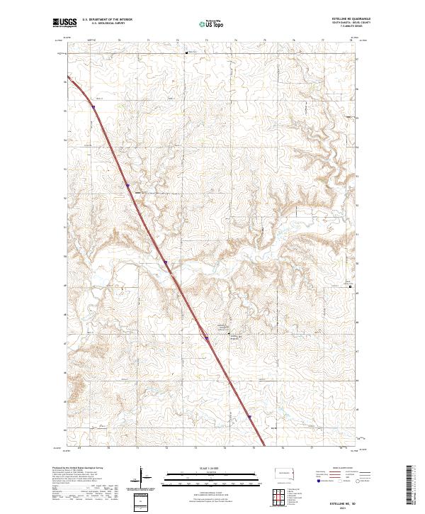 2021 Estelline NE2021 Print · USGSDeuel County's high prairie landscape is captured in this recent survey, showcasing the rural heart of eastern South Dakota. Genealogists and local historians can locate family landmarks like the Rose Family Cem and Hidewood Zion Evangelical Lutheran Cem.
 - 2021 Map of Bemis, 2021 Print
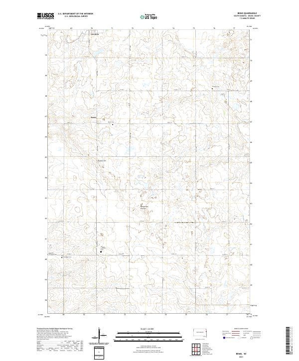 2021 Bemis2021 Print · USGSDeuel County's high prairie plateau is documented here in the early 2020s, showing a landscape defined by glacial geography and deep-rooted rural communities. Genealogists can locate several family and denominational landmarks, including the Swedish Cem, Bemis Cem, and Havana Lutheran Cem.
 - 2021 Map of Dempster, 2021 Print
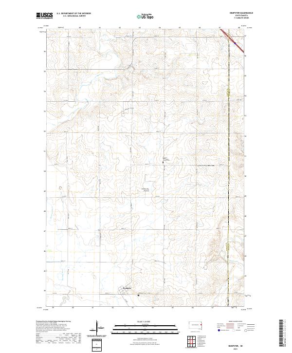 2021 Dempster2021 Print · USGSHamlin County in the early twenty-first century reveals a landscape defined by the rolling Coteau des Prairies and agricultural heritage. Genealogists can trace local roots at the Dempster Cem and the Hamlin Reformed Church Cem near Dempster.
 - 2021 Map of Clear Lake North, 2021 Print
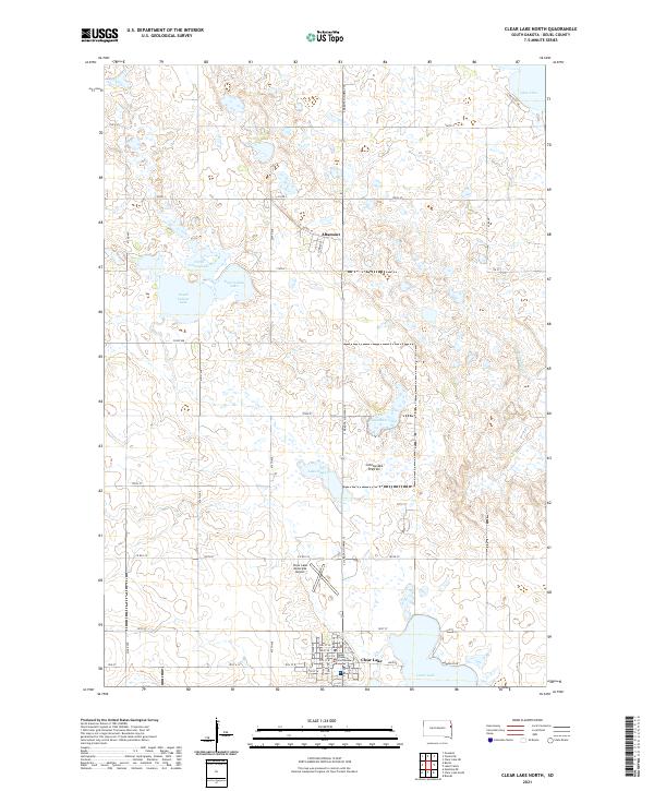 2021 Clear Lake North2021 Print · USGSDeuel County in the early twenty-first century reveals a high-plains landscape defined by glacial lakes and the agricultural grid. Researchers can trace the layout of the county seat around the Deuel County Courthouse and locate smaller landmarks like Ketchum Lake and the village of Altamont.
End of results
Showing maps 1-24 of 24
Top cities near Havana Township
- Clear Lake historical maps
- Estelline historical maps
- Castlewood historical maps
- Dempster historical maps
- Kranzburg historical maps
- Toronto historical maps
See more
Frequently asked questions
- What are the different types of historical maps available for Havana Township?
- What is the oldest map of Havana Township?
- Where can I purchase historical maps of Havana Township for my home or office?
- Where can I download high-res historical maps of Havana Township?
- Are there historical topographic maps available for Havana Township?
- Is there historical aerial imagery available for Havana Township?
- Where are historical maps of Havana Township sourced from?