Old Maps of Havana Township, South Dakota for Academic Research
Study the evolution of Havana Township with 33 high-resolution historic maps. Whether you're teaching, researching, or modeling changes in land use, these maps provide essential visual documentation of urban, environmental, and geographic change.
- Analyze long-term change: Track patterns in development, transportation, and natural features.
- Ideal for environmental or urban studies: Support academic projects with primary historical map data.
- Use in the classroom or lab: Educators and researchers rely on these maps to bring historical context to life.
These maps are a powerful tool for teaching, research, and visualizing how Havana Township has changed over the decades.
Havana Township, SD maps
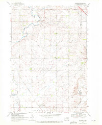
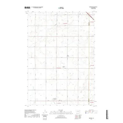
(33)- 1953 Map of Watertown, 1968 Print
 1953 Watertown1968 Print · USGSEastern South Dakota and the Minnesota borderlands are captured here during the mid-twentieth century as the region's agricultural and rail-service centers thrived. Genealogists and local historians can trace family-named sites across the Coteau des Prairies and find landmarks in Watertown, De Smet, and Brookings.3 unique versions available
 - 1958 Map of Watertown
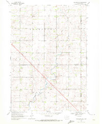
 1958 Watertown1958 Print · USGSThe eastern South Dakota prairie and the Minnesota borderlands are captured here in the late fifties, showcasing a landscape of terminal moraine lakes and burgeoning rail hubs. Genealogists and historians can trace the early paths of the Chicago and North Western railroad or locate family roots in Watertown, Clark, or the Sisseton Indian Reservation.2 unique versions available
 - 1969 Map of Dempster, 1971 Print
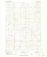
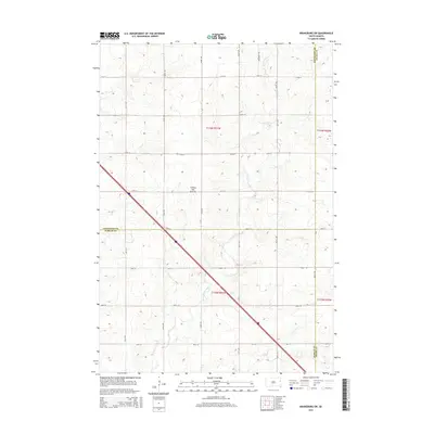
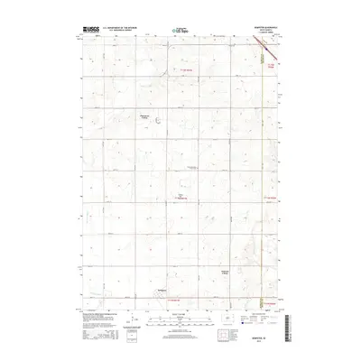
 1969 Dempster1971 Print · USGSHamlin and Deuel counties appear here in the late sixties, showing the agricultural landscape near the Big Sioux River. Genealogists can locate family sites near Bemis Cem or trace the path of the Chicago and North Western rail line.2 unique versions available
 - 1970 Map of Kranzburg SW, 1972 Print
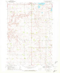
 1970 Kranzburg SW1972 Print · USGSEastern South Dakota’s agricultural landscape is documented here just as modern highway expansion was beginning to reshape the prairie in the early seventies. Genealogists can locate the local Townhall or trace the winding path of Stray Horse Creek through the townships of Kranzburg and Hamlin.2 unique versions available
 - 1970 Map of Bemis, 1972 Print
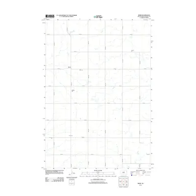
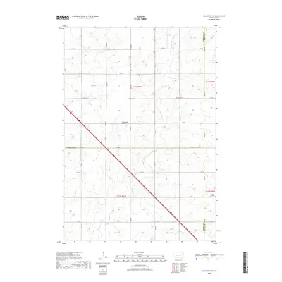
 1970 Bemis1972 Print · USGSSettled prairie life in Deuel County is captured here in the early seventies, showcasing a landscape of section-line roads and rural townships. Researchers can trace the Old Railroad Grade or locate family roots at Swedish Cem and Bemis Ch.
 - 1970 Map of Clear Lake South, 1972 Print
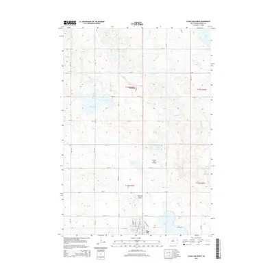
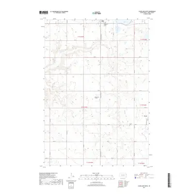
 1970 Clear Lake South1972 Print · USGSDeuel County's prairie landscape is captured in the early 1970s, showcasing the agricultural townships and water bodies south of Clear Lake. Genealogists and local historians can trace legacy sites like the Old Folks Home, Highland Cem, and the path of the Old Railroad Grade.
 - 1970 Map of Estelline NE, 1972 Print
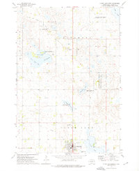
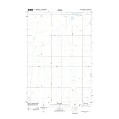
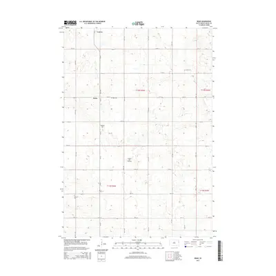
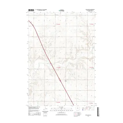
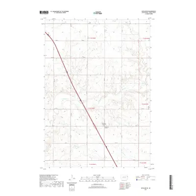
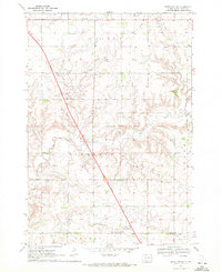 1970 Estelline NE1972 Print · USGSDeuel County in the early seventies remains a landscape of section-line roads and family farmsteads. Genealogists and local historians can trace legacy sites like Tabor Cem, Oakwood Sch, and the local Townhall amid the townships of Havana and Brandt.2 unique versions available
 - 1973 Map of Clear Lake North, 1976 Print
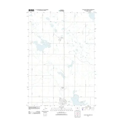
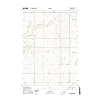
 1973 Clear Lake North1976 Print · USGSIn the early 1970s, this Deuel County landscape was a mosaic of prairie lakes and conservation lands near the seat of Clear Lake. Local historians can trace the Old Railroad Grade and identify civic landmarks like the Fairground and Altamont settlement.
 - 1985 Map of Clear Lake
 1985 Clear Lake1985 Print · USGSThe South Dakota and Minnesota borderlands are captured here in the mid-eighties as a landscape of prairie towns and wildlife refuges. Researchers can trace the legacy of regional transport through the Chicago and North Western tracks and the Old Railroad Grade.2 unique versions available
 - 2012 Map of Dempster, 2012 Print
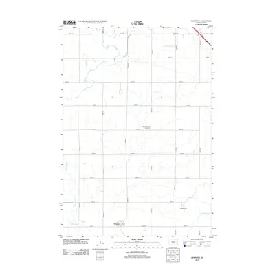 2012 Dempster2012 Print · USGSCovers Havana Township, including Dempster, Poinsett Hutterite Colony, and other nearby areas
 - 2012 Map of Estelline NE, 2012 Print
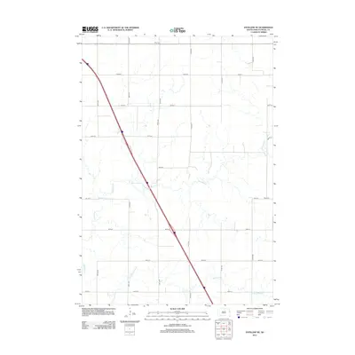 2012 Estelline NE2012 Print · USGSCovers Havana Township, including Blom Township, Brandt Township, and other nearby areas
 - 2012 Map of Bemis, 2012 Print
 2012 Bemis2012 Print · USGSCovers Havana Township, including Goodwin, Bemis, and other nearby areas
 - 2012 Map of Clear Lake South, 2012 Print
 2012 Clear Lake South2012 Print · USGSCovers Havana Township, including Clear Lake, Brandt, and other nearby areas
 - 2012 Map of Clear Lake North, 2012 Print
 2012 Clear Lake North2012 Print · USGSCovers Havana Township, including Clear Lake, Altamont, and other nearby areas
 - 2012 Map of Kranzburg SW, 2012 Print
 2012 Kranzburg SW2012 Print · USGSCovers Havana Township, including Goodwin Township, Kranzburg South Township, and other nearby areas
 - 2015 Map of Bemis, 2015 Print
 2015 Bemis2015 Print · USGSCovers Havana Township, including Goodwin, Bemis, and other nearby areas
 - 2015 Map of Kranzburg SW, 2015 Print
 2015 Kranzburg SW2015 Print · USGSCovers Havana Township, including Goodwin Township, Kranzburg South Township, and other nearby areas
 - 2015 Map of Clear Lake South, 2015 Print
 2015 Clear Lake South2015 Print · USGSCovers Havana Township, including Clear Lake, Brandt, and other nearby areas
 - 2015 Map of Clear Lake North, 2015 Print
 2015 Clear Lake North2015 Print · USGSCovers Havana Township, including Clear Lake, Altamont, and other nearby areas
 - 2015 Map of Estelline NE, 2015 Print
 2015 Estelline NE2015 Print · USGSCovers Havana Township, including Blom Township, Brandt Township, and other nearby areas
 - 2015 Map of Dempster, 2015 Print
 2015 Dempster2015 Print · USGSCovers Havana Township, including Dempster, Poinsett Hutterite Colony, and other nearby areas
 - 2017 Map of Kranzburg SW, 2017 Print
 2017 Kranzburg SW2017 Print · USGSCovers Havana Township, including Goodwin Township, Kranzburg South Township, and other nearby areas
 - 2017 Map of Estelline NE, 2017 Print
 2017 Estelline NE2017 Print · USGSCovers Havana Township, including Blom Township, Brandt Township, and other nearby areas
 - 2017 Map of Dempster, 2017 Print
 2017 Dempster2017 Print · USGSCovers Havana Township, including Dempster, Poinsett Hutterite Colony, and other nearby areas
 - 2017 Map of Clear Lake South, 2017 Print
 2017 Clear Lake South2017 Print · USGSCovers Havana Township, including Clear Lake, Brandt, and other nearby areas
Showing maps 1-25 of 33
Top cities near Havana Township
- Clear Lake historical maps
- Estelline historical maps
- Castlewood historical maps
- Dempster historical maps
- Kranzburg historical maps
- Toronto historical maps
See more
Frequently asked questions
- What are the different types of historical maps available for Havana Township?
- What is the oldest map of Havana Township?
- Where can I purchase historical maps of Havana Township for my home or office?
- Where can I download high-res historical maps of Havana Township?
- Are there historical topographic maps available for Havana Township?
- Is there historical aerial imagery available for Havana Township?
- Where are historical maps of Havana Township sourced from?