Old Maps of Eagle Butte, District 4
Explore 21 old maps of Eagle Butte, spanning from 1953 to today. These high-resolution historic maps reveal how streets, neighborhoods, landmarks, and natural features evolved over time — perfect for genealogy, metal detecting, research, and local history exploration.
What you can do with these maps:
- See how Eagle Butte changed over time: Compare historical maps to modern-day views to trace roads, homesites, rail lines & more.
- View detailed metadata: Each map includes creators, publishers, year, scale, and archive source.
- Overlay maps with satellite & LiDAR: Visualize the past alongside modern tools to explore terrain & human change.
- Trusted historical sources: Maps sourced from the USGS, Library of Congress, and other archives.
- Access maps your way: View online, download high-res files, or order prints for personal or research use.
Start exploring old maps of Eagle Butte to uncover forgotten places, hidden landmarks, and the deep history beneath your feet.
Eagle Butte, District 4 maps
(21)- 1953 Map of McIntosh, 1965 Print
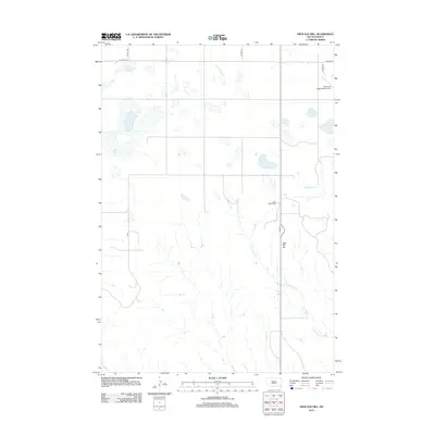
 1953 McIntosh1965 Print · USGSThe north-central Dakota prairie is captured here during the mid-fifties, showing the vast Standing Rock Indian Reservation and the newly formed Oah E Reservoir. Genealogists and historians can trace the Chicago Milwaukee St Paul and Pacific rail line through stops like McIntosh, Walker, and Eagle Butte.3 unique versions available
 - 1954 Map of Pierre, 1968 Print
 1954 Pierre1968 Print · USGSThe Missouri River and the newly formed Oahe Reservoir define central South Dakota in the 1950s. Genealogists and local historians can trace early settlements and rail stops like Eakin Siding, Mission Ridge, and Ottumwa.2 unique versions available
 - 1958 Map of Pierre
 1958 Pierre1958 Print · USGSCentral South Dakota is documented during the mid-fifties, just as the Missouri River valley was being transformed by the massive Oahe Dam project. Researchers can trace the early Oahe Reservoir shoreline and find remote outposts like Milesville, Onida, and Giddings Flat.
 - 1958 Map of McIntosh
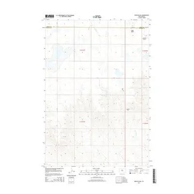
 1958 McIntosh1958 Print · USGSThe north-central Dakotas appear here in the mid-1950s as massive engineering projects and rail lines shaped the plains. Researchers can trace tribal lands within the Standing Rock Indian Reservation and locate local landmarks like the Keller Mine or the Virginia Siding.
 - 1981 Map of Herbert Creek
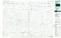
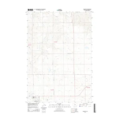
 1981 Herbert Creek1981 Print · USGSThe ranch lands of Ziebach County are captured here in the early eighties, showing a sparse landscape of family operations and vital water infrastructure. Genealogists and local historians can trace legacy holdings like the Webb Ranch and Skates Ranch or locate Shupic Park in Eagle Butte.
 - 1981 Map of Parade SW
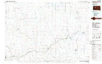
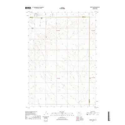
 1981 Parade SW1981 Print · USGSDewey County enters the 1980s with the expanding settlements of Eagle Butte and North Eagle Butte taking center stage. Genealogists and historians can locate community landmarks like the Civic Center and Hosp, or trace local recreation at the Rodeo Grounds and Brueschke Dam.
 - 1981 Map of High Elk Hill, 1982 Print
 1981 High Elk Hill1982 Print · USGSZiebach and Dewey counties are shown in the early eighties as they cross the high plains of the Cheyenne River Indian Reservation. Genealogists and local historians can locate St Marks Cem and trace the paths of East Fork Rudy Creek and High Elk Hill.
 - 1986 Map of Timber Lake
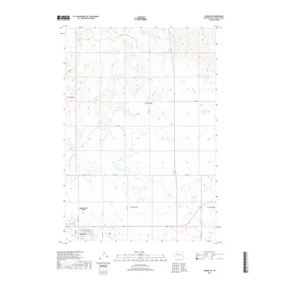
 1986 Timber Lake1986 Print · USGSNorth-central South Dakota in the mid-eighties reveals a landscape of ranching hubs and indigenous lands shaped by the Moreau River and Grand River. Researchers can trace old rail routes near Red Elm and locate remote prairie landmarks like St Patrick Butte or Glad Valley.2 unique versions available
 - 1986 Map of Cherry Creek
 1986 Cherry Creek1986 Print · USGSWest-central South Dakota comes to life in the mid-1980s, centered on the Cheyenne River Indian Reservation and the river's winding path. Genealogists and historians can trace the remote settlements of Red Scaffold and Milesville or locate family landmarks like Staple M Cliffs and Robbs Flat.2 unique versions available
 - 2012 Map of Parade SW, 2012 Print
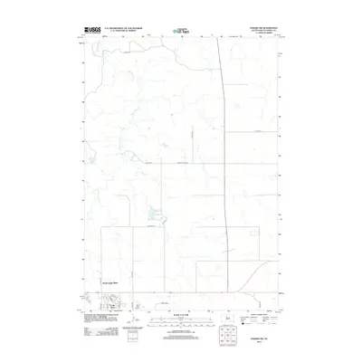 2012 Parade SW2012 Print · USGSCovers Eagle Butte, including District 5, North Eagle Butte, and other nearby areas
 - 2012 Map of Herbert Creek, 2012 Print
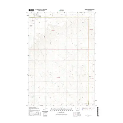
 2012 Herbert Creek2012 Print · USGSCovers Eagle Butte, including District 5, District 4, and other nearby areas
 - 2012 Map of High Elk Hill, 2012 Print
 2012 High Elk Hill2012 Print · USGSCovers Eagle Butte, including District 4, Ziebach County, and other nearby areas
 - 2015 Map of High Elk Hill, 2015 Print
 2015 High Elk Hill2015 Print · USGSCovers Eagle Butte, including District 4, Ziebach County, and other nearby areas
 - 2015 Map of Herbert Creek, 2015 Print
 2015 Herbert Creek2015 Print · USGSCovers Eagle Butte, including District 5, District 4, and other nearby areas
 - 2015 Map of Parade SW, 2015 Print
 2015 Parade SW2015 Print · USGSCovers Eagle Butte, including District 5, North Eagle Butte, and other nearby areas
 - 2017 Map of Herbert Creek, 2017 Print
 2017 Herbert Creek2017 Print · USGSCovers Eagle Butte, including District 5, District 4, and other nearby areas
 - 2017 Map of Parade SW, 2017 Print
 2017 Parade SW2017 Print · USGSCovers Eagle Butte, including District 5, North Eagle Butte, and other nearby areas
 - 2017 Map of High Elk Hill, 2017 Print
 2017 High Elk Hill2017 Print · USGSCovers Eagle Butte, including District 4, Ziebach County, and other nearby areas
 - 2021 Map of High Elk Hill, 2021 Print
 2021 High Elk Hill2021 Print · USGSZiebach and Dewey counties are captured here in the early 2020s, showing the high prairie landscape near the Cheyenne River Reservation. Genealogists and historians can locate Saint Marks Cem or trace the drainage patterns of Green Grass Cr and Herbert Cr across the divide.
 - 2021 Map of Herbert Creek, 2021 Print
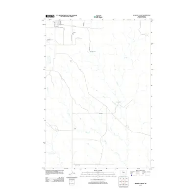
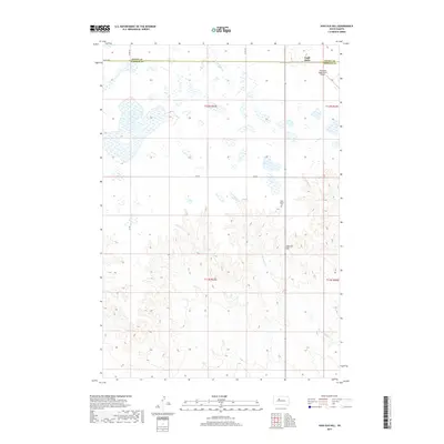
 2021 Herbert Creek2021 Print · USGSZiebach County ranch lands meet the town of Eagle Butte in this contemporary record of South Dakota's prairie landscape. Trace the modern layout of the Cheyenne Eagle Butte Airport and rural routes like Minneconjou Dr and Herbert Cr.
 - 2021 Map of Parade SW, 2021 Print
 2021 Parade SW2021 Print · USGSNorth Eagle Butte and the surrounding Cheyenne River Reservation are captured here in the early twenty-first century. Genealogists and local researchers can trace the town’s street layout near Hunt Field and locate landmarks like Eagle Butte Lake and Chinatown.
End of results
Showing maps 1-21 of 21
Frequently asked questions
- What are the different types of historical maps available for Eagle Butte?
- What is the oldest map of Eagle Butte?
- Where can I purchase historical maps of Eagle Butte for my home or office?
- Where can I download high-res historical maps of Eagle Butte?
- Are there historical topographic maps available for Eagle Butte?
- Is there historical aerial imagery available for Eagle Butte?
- Where are historical maps of Eagle Butte sourced from?