1970s Maps of Edmunds County, South Dakota
Explore 29 historic maps of Edmunds County from the 1970s. These maps offer a rare glimpse into what life looked like during the 1970s — showing old roads, neighborhoods, homes, and landmarks that have changed or disappeared over time.
Whether you're researching your family's past, planning a metal detecting trip, or studying how Edmunds County's landscape evolved across the 1970s, these high-resolution maps are a powerful tool for exploring the history of this region.
- Focus on a specific era: All maps on this page are from the 1970s, giving you a focused view of this time period.
- See what’s changed: Compare century-old streets, trails, and buildings to today's modern landscape using overlays and satellite layers.
- Research with precision: Use these maps for genealogy, historical research, land use analysis, or educational projects.
- View, download, or print: Maps are fully viewable online in high resolution, and can be downloaded or printed for your own records.
Start exploring Edmunds County's history through authentic maps from the 1970s. This is your window into the past.
Edmunds County, SD maps
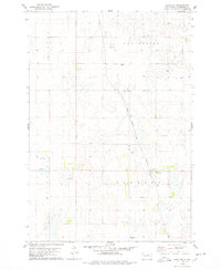
(29)- 1970 Map of Lake Parmley, 1973 Print
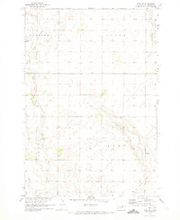
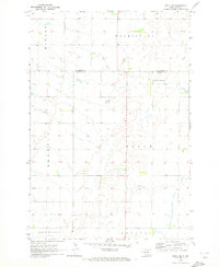
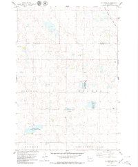
 1970 Lake Parmley1973 Print · USGSThe prairie landscape of Brown and Edmunds Counties was in transition during the early 1970s as new rail lines were established. Researchers can trace the progress of the Chicago Milwaukee St Paul and Pacific line and locate recreation sites near Lake Parmley.
 - 1970 Map of Mina SW, 1973 Print
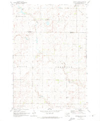
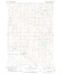
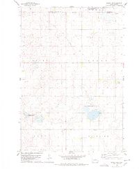
 1970 Mina SW1973 Print · USGSEdmunds County's rural landscape is captured here in the early seventies, showing a quiet agricultural region defined by its township borders. Genealogists and local historians can locate St Herbert Cem, the local Townhall, and the path of an Old Railroad Grade.
 - 1970 Map of Lake Parmley SW, 1973 Print
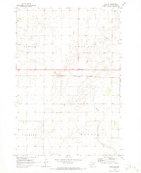
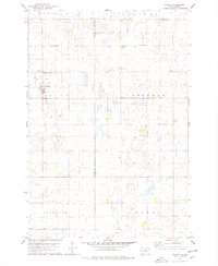
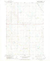
 1970 Lake Parmley SW1973 Print · USGSThe rural border of Brown and Edmunds Counties is captured here in the early seventies, showing a landscape shaped by prairie townships. Genealogists and historians can trace the Old Railroad Grade or locate the community Townhall and Snake Creek.
 - 1970 Map of Wetonka South, 1973 Print
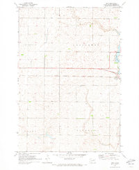
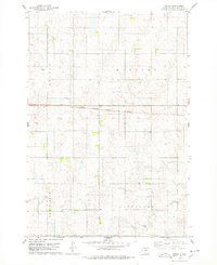
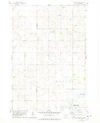
 1970 Wetonka South1973 Print · USGSEdmunds County at the start of the 1970s reveals a quiet agricultural landscape organized by established township lines. Genealogists and local historians can trace the community history of Wetonka while locating the Pembrook Cem and an Old Railroad Grade.
 - 1970 Map of Mina NW, 1973 Print
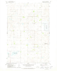
 1970 Mina NW1973 Print · USGSEdmunds County at the start of the seventies reveals a landscape of prairie townships and rail-connected hamlets. Genealogists and local historians can trace family roots at Strasburg Cem or follow the path of Preachers Run past Craven.
 - 1970 Map of Richmond SW, 1973 Print
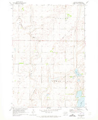
 1970 Richmond SW1973 Print · USGSThe Brown and Edmunds county lines met in this corner of South Dakota during the early 1970s, as the prairie was shifting toward modern farming. You can trace the remnants of the Old Railroad Grade and find water landmarks like Richmond Lake and the Flowing Well.
 - 1970 Map of Mina, 1973 Print
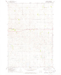
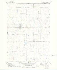
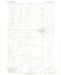
 1970 Mina1973 Print · USGSMina and the surrounding Edmunds County townships are captured here in the early 1970s as the regional infrastructure evolved. Genealogists and rail historians can trace the Milwaukee Road line and land patterns in Fountain and Cortlandt.
 - 1970 Map of Leola SW, 1973 Print
 1970 Leola SW1973 Print · USGSThe northern prairie on the Edmunds and McPherson county line is captured here in the early seventies. Genealogists and local historians can locate Plainview Colony No 2 and trace the township boundaries of Belle, Washington, and Howard.
 - 1970 Map of Mina SE, 1973 Print
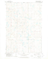
 1970 Mina SE1973 Print · USGSEdmunds County at the start of the 1970s reveals a quiet prairie landscape shaped by glacial waters and early transportation. Researchers can trace rural genealogy at the Richland Cem or follow the path of the Old Railroad Grade and Preachers Run.
 - 1974 Map of Gretna, 1978 Print
 1974 Gretna1978 Print · USGSEdmunds County's prairie landscape is captured here in the mid-1970s, showcasing the intersection of rail transport and conservation. Researchers can trace the legacy of local families at Cloyd Valley Cem or follow the Chicago Milwaukee St Paul and Pacific tracks through Gretna.
 - 1974 Map of Ipswich SE, 1978 Print
 1974 Ipswich SE1978 Print · USGSEdmunds County townships were surveyed in the mid-1970s, revealing a landscape of section-line roads and prairie settlements. Genealogists and local historians can trace family locations near Powell, Pleasant Hill Cem, and the rural station of Chester.
 - 1974 Map of Roscoe, 1978 Print
 1974 Roscoe1978 Print · USGSThe rail-centered town of Roscoe is captured here in the mid-1970s at the junction of the CHICAGO MILWAUKEE ST PAUL AND PACIFIC. Researchers can trace the local landscape from Morningside Cem to the sprawling National Waterfowl Production Area.
 - 1974 Map of Bowdle SE, 1978 Print
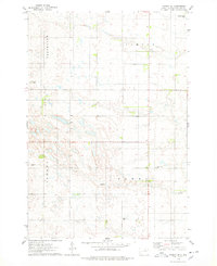
 1974 Bowdle SE1978 Print · USGSEdmunds County townships were largely dedicated to conservation and farming during the mid-seventies. Trace the boundaries of Hudson and Madison or explore the wetlands of the National Waterfowl Production Area.
 - 1974 Map of Roscoe SW, 1978 Print
 1974 Roscoe SW1978 Print · USGSMid-century Edmunds County is captured here in a period of stabilized agricultural layout, featuring the prairie wetlands of Cloyd Valley and Glover. Genealogists and historians can trace field lines and section roads near Hillside and Madison.
 - 1974 Map of Bowdle, 1978 Print
 1974 Bowdle1978 Print · USGSThe prairie town of Bowdle is captured in the mid-1970s, showing a landscape defined by the railroad and local township life. Genealogists can locate several historic burial sites, including Neu Glueckstal Cem and Redeemer Cem, alongside the Chicago Milwaukee St Paul and Pacific rail line.
 - 1978 Map of Loyalton
 1978 Loyalton1978 Print · USGSThe village of Loyalton is captured in the late seventies as a quiet rail-stop on the Dakota prairie. Researchers can trace the layout of the Chicago Milwaukee St Paul and Pacific line and locate the Loyalton Cem and Gravel Pits.
 - 1978 Map of Stafford Dam
 1978 Stafford Dam1978 Print · USGSEdmunds County in the late seventies is captured here as a landscape of organized townships and conservation areas. Researchers can locate St Johns Cem and trace the boundaries of the Stafford Dam State Public Shooting Area.
 - 1978 Map of Tolstoy
 1978 Tolstoy1978 Print · USGSThe town of Tolstoy and the surrounding Potter County prairie are captured in the late seventies. Researchers can trace the heritage of local families at St Jacobs Cem, follow the Old Railroad Grade, or locate old township lines in Hudson and Madison.
 - 1978 Map of Beebe
 1978 Beebe1978 Print · USGSEdmunds County's rural prairie landscape is captured here in the late seventies, centered on the small siding of Beebe. Genealogists and historians can trace township boundaries like Montrelier and infrastructure such as the Cleveland Dam.
 - 1978 Map of Hillsview SE
 1978 Hillsview SE1978 Print · USGSThe border of Edmunds and McPherson counties in the late seventies is marked by a focus on waterfowl conservation and rail transport. Trace the route of the Chicago Milwaukee St Paul and Pacific and the borders of the Heilman State Public Shooting Area.
 - 1978 Map of Seneca NW
 1978 Seneca NW1978 Print · USGSPotter and Edmunds counties are shown in the mid-1970s, reflecting a landscape of quiet prairie townships and waterfowl conservation. Genealogists and historians can trace an Old Railroad Grade or locate burials at the rural Spring Cem near Alkali Lake.
 - 1978 Map of Roscoe NW
 1978 Roscoe NW1978 Print · USGSEdmunds County's rural landscape is captured here in the late 1970s, showcasing a region defined by its wide valleys and rail connectivity. Genealogists and historians can trace the path of the Chicago Milwaukee St Paul and Pacific railroad as it crosses through Glen and past the shores of Cottonwood Lake.
 - 1978 Map of Bowdle SW
 1978 Bowdle SW1978 Print · USGSThe high plains of Edmunds and Walworth Counties are shown here during the late 1970s. Genealogists can locate family burial sites at the United Methodist Cem or Congregational Cem, while naturalists can trace the margins of Swan Lake and the waterfowl production areas.
 - 1978 Map of Ipswich
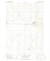
 1978 Ipswich1978 Print · USGSIpswich and the surrounding Edmunds County townships are shown here in the late 1970s, organized around the Milwaukee Road railroad. Researchers can locate Southside Cem, the Pembrook Colony, and the Bloemendaal-Taylor Airfield.
 - 1978 Map of Bowdle-Hosmer Lake, 1979 Print
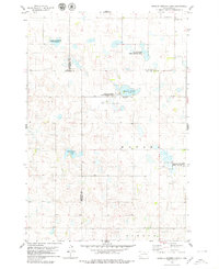 1978 Bowdle-Hosmer Lake1979 Print · USGSThe prairie wetlands of North Central South Dakota are documented here in the late seventies, showing a landscape of scattered lakes and rural cemeteries. Family historians can locate St Joseph Cem and St Johns Cem among the conservation lands of the National Waterfowl Production Area.
Showing maps 1-25 of 29
Top cities of Edmunds County
- Ipswich historical maps
- Bowdle historical maps
- Roscoe historical maps
- Hosmer historical maps
- Powell historical maps
Frequently asked questions
- What are the different types of historical maps available for Edmunds County?
- What is the oldest map of Edmunds County?
- Where can I purchase historical maps of Edmunds County for my home or office?
- Where can I download high-res historical maps of Edmunds County?
- Are there historical topographic maps available for Edmunds County?
- Is there historical aerial imagery available for Edmunds County?
- Where are historical maps of Edmunds County sourced from?