2020s Maps of Edmunds County, South Dakota
Explore 36 historic maps of Edmunds County from the 2020s. These maps offer a rare glimpse into what life looked like during the 2020s — showing old roads, neighborhoods, homes, and landmarks that have changed or disappeared over time.
Whether you're researching your family's past, planning a metal detecting trip, or studying how Edmunds County's landscape evolved across the 2020s, these high-resolution maps are a powerful tool for exploring the history of this region.
- Focus on a specific era: All maps on this page are from the 2020s, giving you a focused view of this time period.
- See what’s changed: Compare century-old streets, trails, and buildings to today's modern landscape using overlays and satellite layers.
- Research with precision: Use these maps for genealogy, historical research, land use analysis, or educational projects.
- View, download, or print: Maps are fully viewable online in high resolution, and can be downloaded or printed for your own records.
Start exploring Edmunds County's history through authentic maps from the 2020s. This is your window into the past.
Edmunds County, SD maps
(36)- 2021 Map of Roscoe, 2021 Print
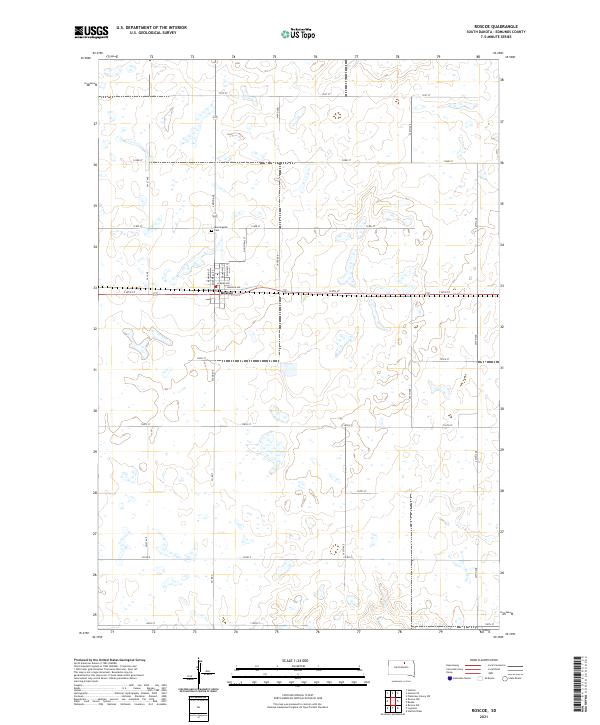 2021 Roscoe2021 Print · USGSEdmunds County's prairie landscape is documented here in the early twenty-first century, centered on the community of Roscoe. Researchers can trace the local street grid from Morgan Ave up to the northern neighborhood of Morningside and the nearby Cem.
 - 2021 Map of Mina NW, 2021 Print
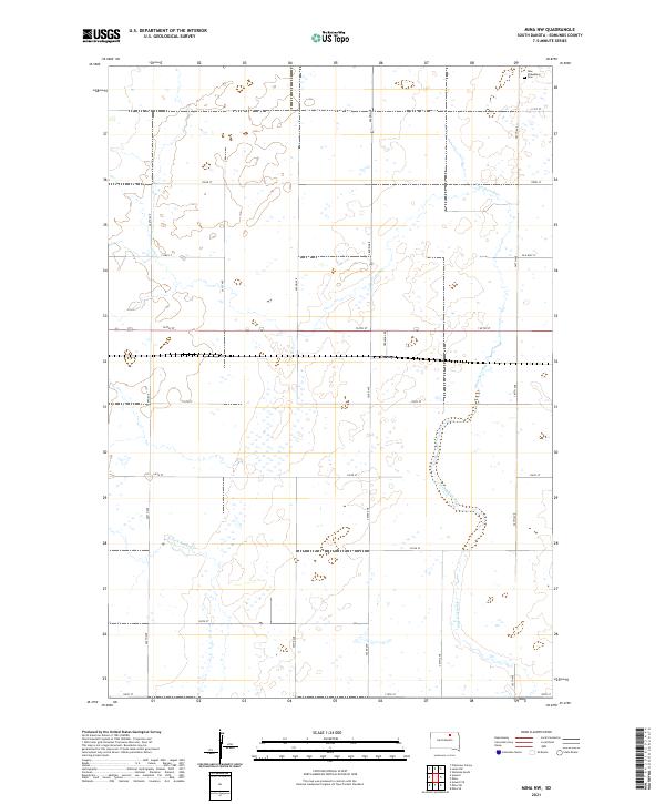 2021 Mina NW2021 Print · USGSEdmunds County at the start of the 2020s shows a landscape of precision agriculture and deep-rooted prairie heritage. Local historians and researchers can trace the rail corridor through Craven or locate the New Straasburg Cem and the headwaters of Preachers Run.
 - 2021 Map of Leola SW, 2021 Print
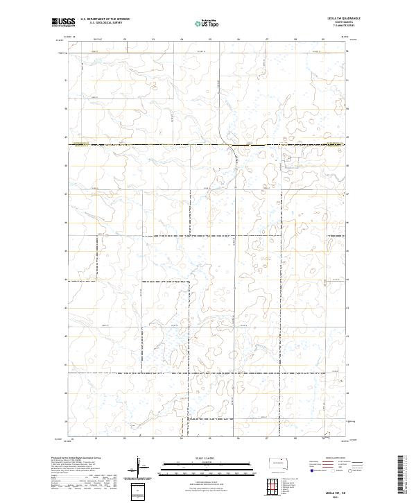 2021 Leola SW2021 Print · USGSThe South Dakota prairie at the border of McPherson Co and Edmunds Co is shown here in the early twenty-first century. Researchers can trace the section-line road network and drainage patterns around Co Hwy 18 and Co Rd 16.
 - 2021 Map of Gretna, 2021 Print
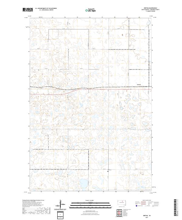 2021 Gretna2021 Print · USGSEdmunds County's prairie landscape is captured here in the early twenty-first century, showing the enduring grid of South Dakota's farm country. Researchers can locate the settlement of Gretna and the Cloyd Valley Cem among a complex network of seasonal wetlands.
 - 2021 Map of Norbeck, 2021 Print
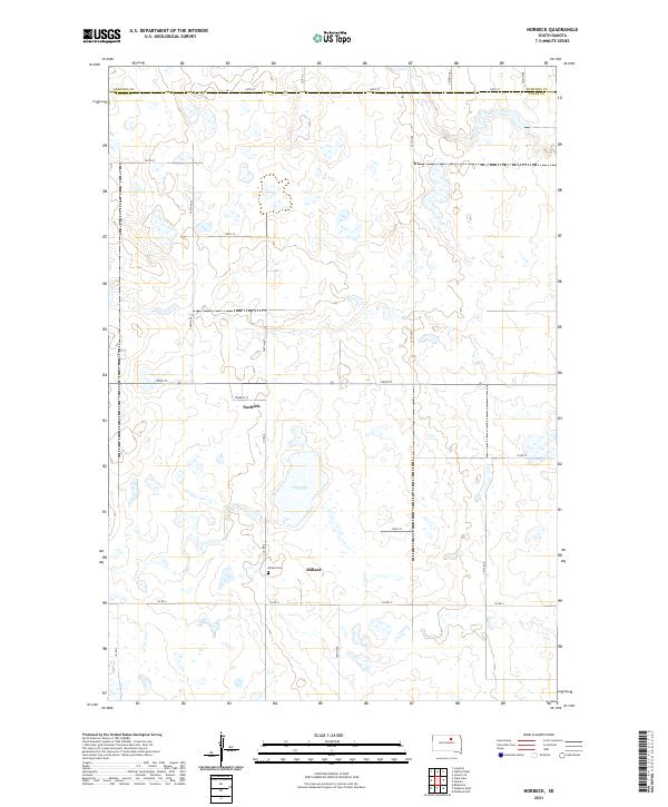 2021 Norbeck2021 Print · USGSThe South Dakota prairie near the Edmunds and Faulk county line is captured here as it appeared in 2021. Genealogists and local historians can trace the relationship between the settlements of Millard and Norbeck and the nearby Millard Cem.
 - 2021 Map of Plainview Colony SW, 2021 Print
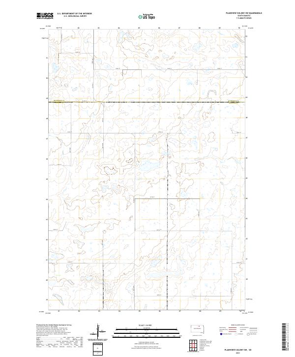 2021 Plainview Colony SW2021 Print · USGSThe prairie border between McPherson Co and Edmunds Co is captured here during the early twenty-first century. Genealogists and land researchers can trace property lines along the rural grid of Co Hwy 13 and Ed Co 14.
 - 2021 Map of Stafford Dam, 2021 Print
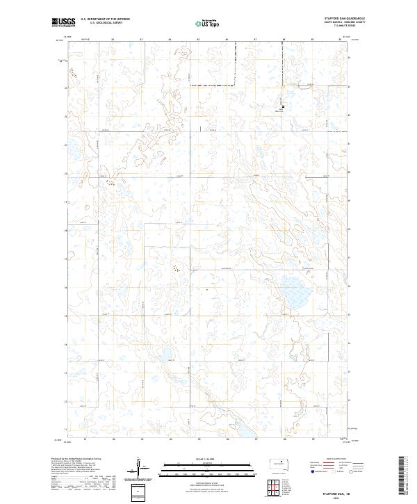 2021 Stafford Dam2021 Print · USGSEdmunds County at the start of the 2020s remains a landscape of traditional section lines and prairie wetlands. Genealogists can locate Saint Johns Cem near Co Rd 20, while researchers can trace local routes like Loyalton Rd across the township grid.
 - 2021 Map of Mina, 2021 Print
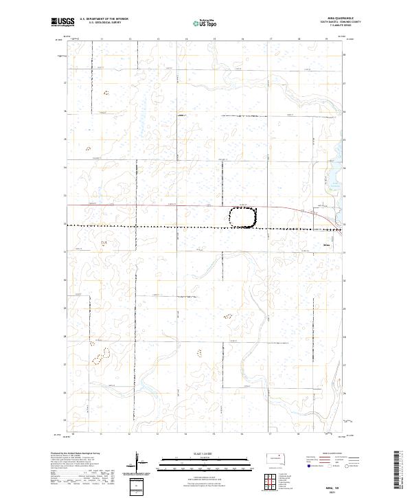 2021 Mina2021 Print · USGSEdmunds County in the early twenty-first century shows a landscape of steady agricultural grids and lakeside development. Genealogists and local historians can trace the streets of Mina and the shoreline of Lake Parmley, or follow the original route of Old Hwy 12.
 - 2021 Map of Clark Lake, 2021 Print
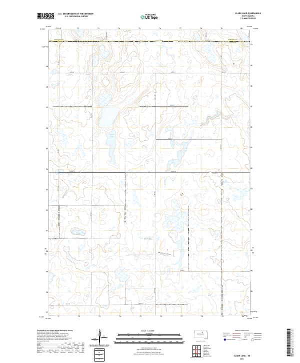 2021 Clark Lake2021 Print · USGSThe prairie pothole landscape of Faulk County comes into focus in this recent survey of the rural divide near the Edmunds County line. Researchers can trace the section-line roads and the relationship between Clark Lake and the localized Brentwood Colony Rd.
 - 2021 Map of Mina SW, 2021 Print
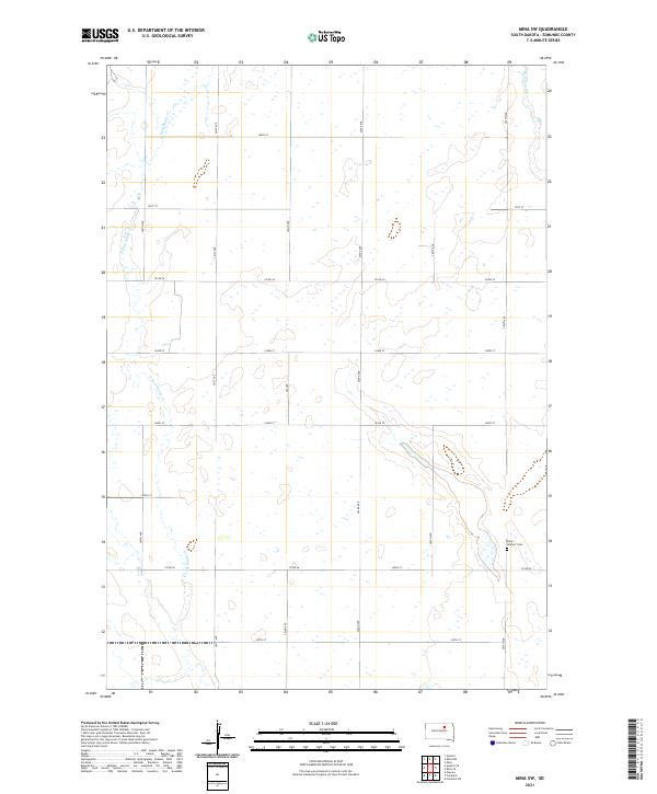 2021 Mina SW2021 Print · USGSEdmunds County at the start of the 2020s remains a landscape of precisely gridded farmsteads and prairie waterways. Family historians can locate Saint Herbert Cem and trace the paths of N Fork Snake Cr and Preachers Run through the township.
 - 2021 Map of Roscoe SW, 2021 Print
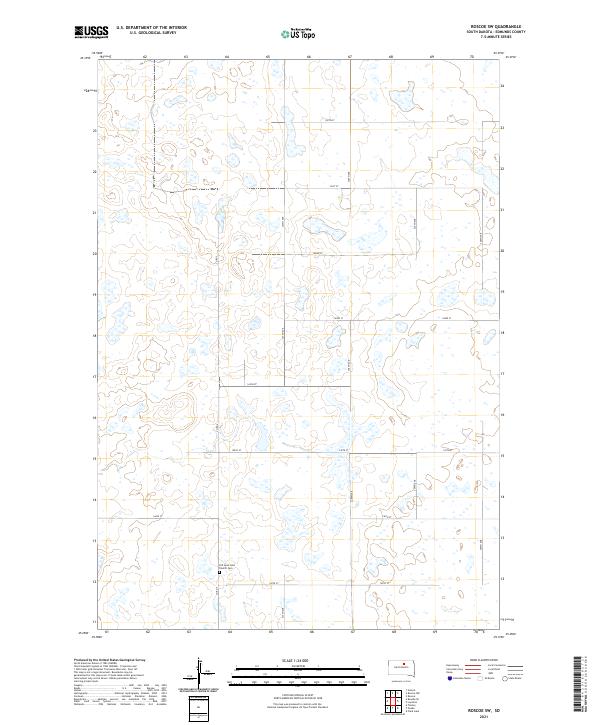 2021 Roscoe SW2021 Print · USGSEdmunds County at the turn of the twenty-first century remains a landscape of glacial prairie wetlands and precise rural grids. Genealogists and local historians can locate the Old Saint John Church Cem and trace old township lines like T122N R71W.
 - 2021 Map of Chelsea, 2021 Print
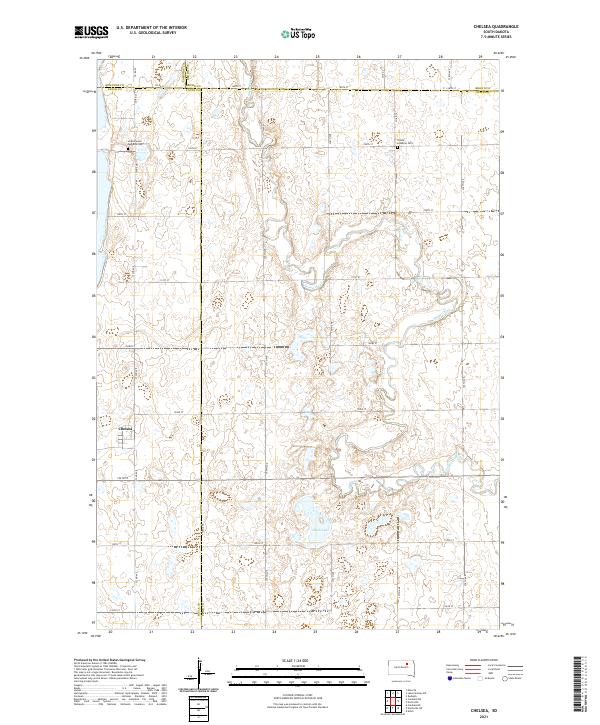 2021 Chelsea2021 Print · USGSThe crossroads community of Chelsea and the surrounding prairie are captured here in the early 2020s. Genealogists and local historians can trace burial sites at Scatterwood Lakeside Cem and Trinity Lutheran Cem or follow the winding course of Snake Creek.
 - 2021 Map of Plainview Colony, 2021 Print
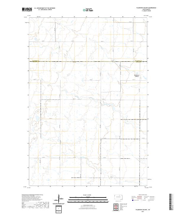 2021 Plainview Colony2021 Print · USGSThe northern plains at the boundary of McPherson and Edmunds counties are captured here in the early twenty-first century. Genealogists and local historians can locate the communal Plainview Colony and trace regional water features like Rosette Lake amidst the section-line roads.
 - 2021 Map of Bowdle, 2021 Print
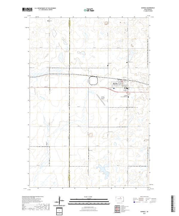 2021 Bowdle2021 Print · USGSSettlement on the Edmunds County prairie centers on the town of Bowdle in this recent survey. Local historians can trace family roots through several landmarks including Glueckstal Cem, Redeemer Cem, and Saint John Evangelical Lutheran.
 - 2021 Map of Bowdle-Hosmer Lake, 2021 Print
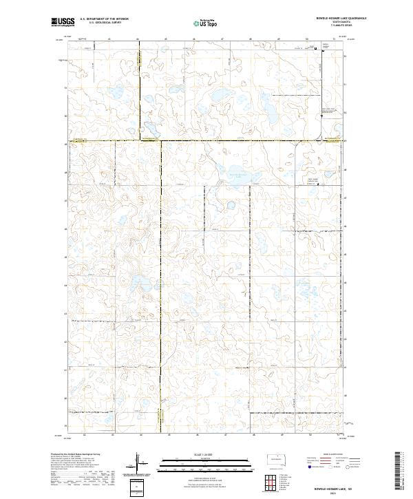 2021 Bowdle-Hosmer Lake2021 Print · USGSThe prairie landscape at the junction of four counties is captured here in the early twenty-first century. Genealogists can locate specific burial sites and legacy road networks including Saint Joseph Catholic Cem and Co Hwy 16.
 - 2021 Map of Lake Parmley, 2021 Print
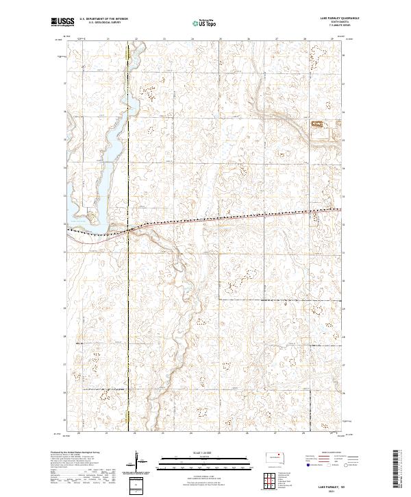 2021 Lake Parmley2021 Print · USGSThe Edmunds and Brown County line in the early 2020s shows a landscape of expansive prairie farms and natural waterways. Genealogists and local historians can trace modern property access via 372nd Ave and explore the shoreline of Lake Parmley near Maza Trl.
 - 2021 Map of Tolstoy, 2021 Print
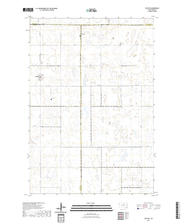 2021 Tolstoy2021 Print · USGSTolstoy and the surrounding prairie wetlands are captured here at the start of the 2020s. Researchers can trace local genealogy through several denominational landmarks, including Zion Cem, the Lutheran Cem, and the Saint Jacobs Cem.
 - 2021 Map of Cresbard, 2021 Print
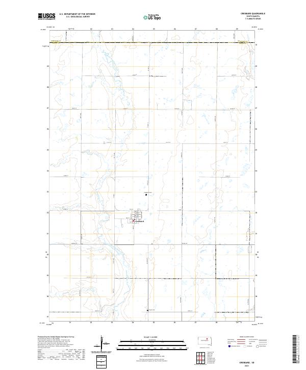 2021 Cresbard2021 Print · USGSThe rural town of Cresbard is centered in this Faulk County landscape as it appeared in the early 2020s. Genealogists and local historians can trace the town's street layout and locate nearby landmarks like Cresbard Cem and the winding North Fork Snake Creek.
 - 2021 Map of Roscoe NW, 2021 Print
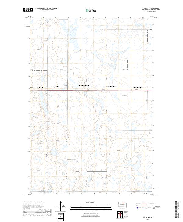 2021 Roscoe NW2021 Print · USGSEdmunds County in the early 2020s remains a landscape of sprawling agricultural sections and prairie wetlands. Genealogists and local historians can trace modern property access along Valley Rd, Co Rd 8, and the section-line grids of 336th Ave.
 - 2021 Map of Hosmer, 2021 Print
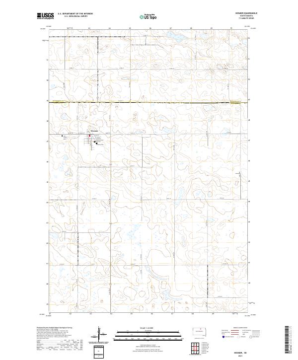 2021 Hosmer2021 Print · USGSHosmer and the surrounding prairie lands are captured here in the early twenty-first century as they span the border of Edmunds and McPherson counties. Genealogists and local historians can locate family plots at Bethany Cem, Holy Trinity Cem, and the Veterans Post 189 Cem.
 - 2021 Map of Ipswich, 2021 Print
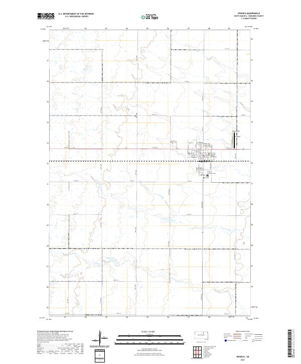 2021 Ipswich2021 Print · USGSThe town of Ipswich and the surrounding Edmunds County prairie are documented here during the early 2020s. Genealogists and local historians can locate the Edmunds County Courthouse and trace family plots at Holy Cross Cem or Ipswich Southside Cem.
 - 2021 Map of Wetonka South, 2021 Print
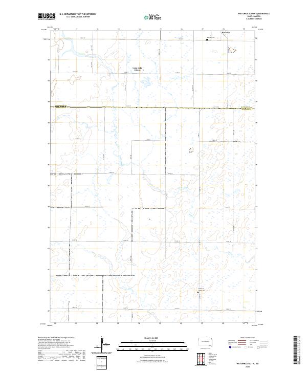 2021 Wetonka South2021 Print · USGSThe rural border of Edmunds and McPherson counties comes into focus in this recent survey of the South Dakota plains. Genealogists can locate family landmarks like Wetonka Cem and the Long Lake Colony, or trace the path of Snake Creek across the township.
 - 2021 Map of Bowdle SE, 2021 Print
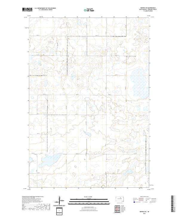 2021 Bowdle SE2021 Print · USGSEdmunds County's high prairie is captured here in the early twenty-first century, showcasing a vast network of glacial wetlands and section-line roads. Researchers can trace the modern rural infrastructure along Co Rd 6, Co Rd 10, and 330th Ave.
 - 2021 Map of Richmond SW, 2021 Print
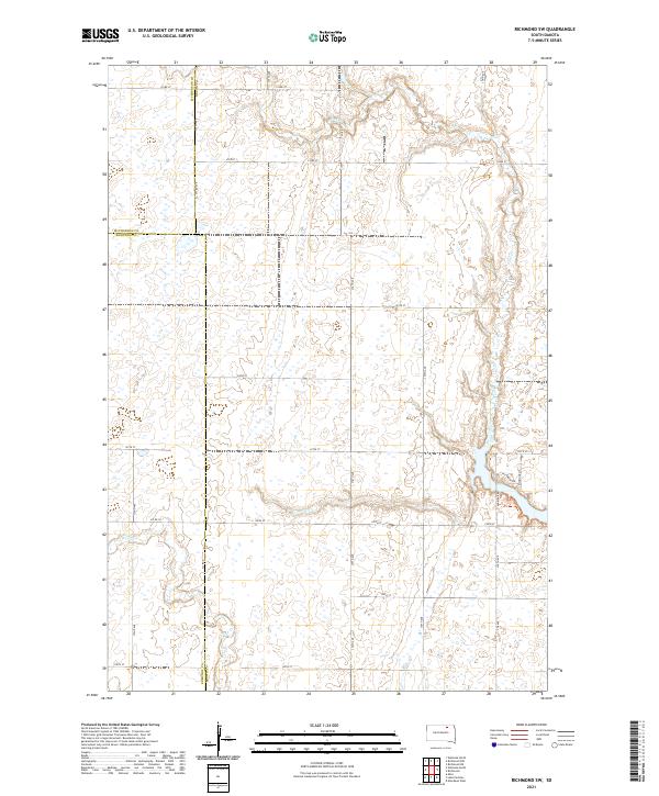 2021 Richmond SW2021 Print · USGSThe intersection of McPherson, Edmunds, and Brown Counties comes into focus in the early 2020s, revealing a landscape of managed prairie and seasonal wetlands. Researchers can trace the paths of Foot Creek and Snake Creek alongside rural routes like Co Rd 11.
 - 2021 Map of Onaka, 2021 Print
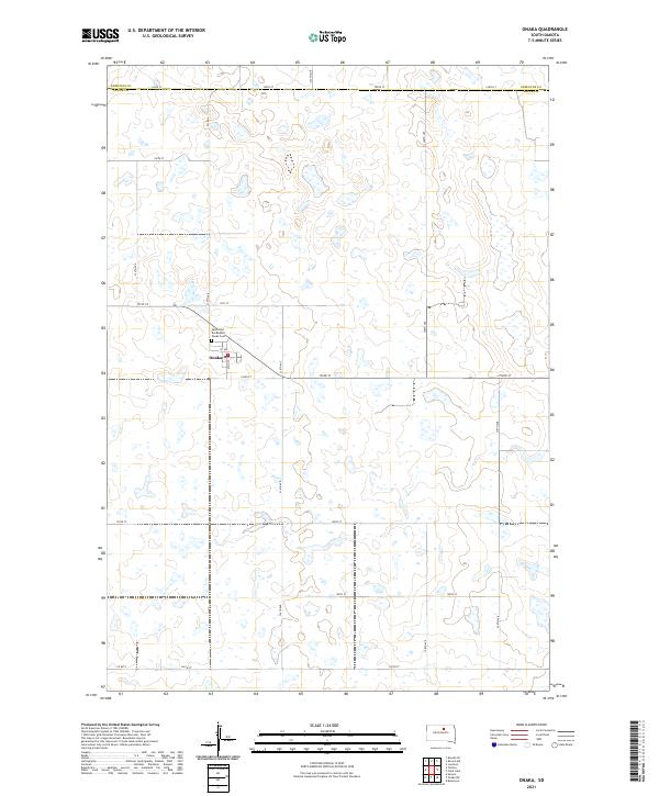 2021 Onaka2021 Print · USGSThe rural settlement of Onaka and the surrounding Faulk County landscape are captured here in the early twenty-first century. Genealogists and local historians can trace the town's layout near Saint John the Baptist and Onaka Cem across a terrain defined by many prairie wetlands.
Showing maps 1-25 of 36
Top cities of Edmunds County
- Ipswich historical maps
- Bowdle historical maps
- Roscoe historical maps
- Hosmer historical maps
- Powell historical maps
Frequently asked questions
- What are the different types of historical maps available for Edmunds County?
- What is the oldest map of Edmunds County?
- Where can I purchase historical maps of Edmunds County for my home or office?
- Where can I download high-res historical maps of Edmunds County?
- Are there historical topographic maps available for Edmunds County?
- Is there historical aerial imagery available for Edmunds County?
- Where are historical maps of Edmunds County sourced from?