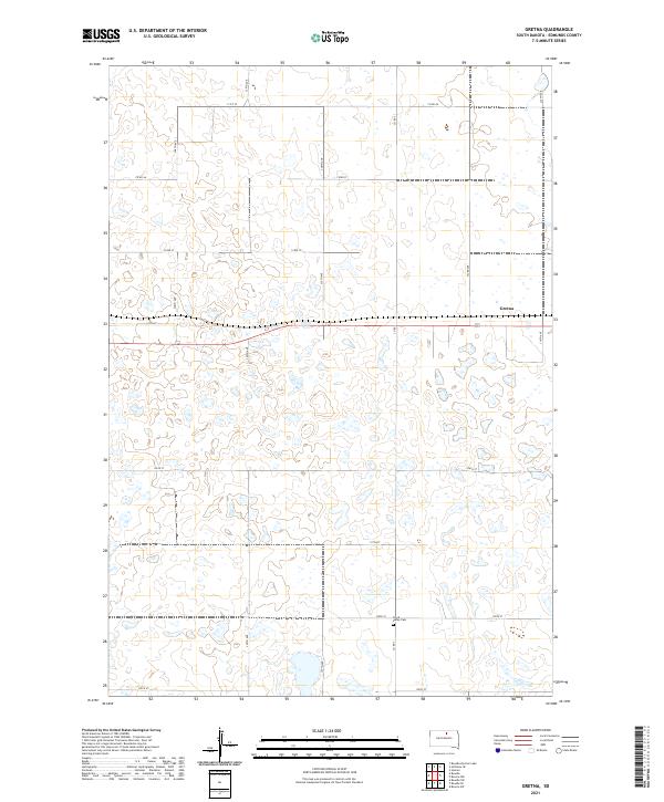
2021 Map of Gretna
USGS Topo · Published 2021About this map
Gretna stands as a focal point in this portion of Edmunds County, situated within a landscape defined by a dense network of glacial prairie potholes and small water bodies. The terrain is organized by a precise grid of rural corridors, including 334th Ave and 134th St, which trace the township and range boundaries of t123n r72w and its neighbors. A significant local landmark for genealogists and historians is the Cloyd Valley Cem, located in the southern section along Co Rd 3. This 2021 survey illustrates the enduring agricultural character of the region, where the section-line road system remains the primary infrastructure connecting isolated farmsteads and the small settlement of Gretna.
Find a feature on this map
21 named features on this map. Tap any name to fly to it.
Don’t see what you’re looking for? This feature index may not catch every label — zoom into the map to look around manually.
Map Details
Editions of this 2021 Gretna Map
This is the sole edition of this map. No revisions or reprints were ever made.
Other maps of this area

1954 · Aberdeen
USGS Topo · 1:250,000

1956 · Aberdeen
USGS Topo · 1:250,000

1974 · Gretna
USGS Topo · 1:24,000

1974 · Bowdle SE
USGS Topo · 1:24,000

1974 · Roscoe SW
USGS Topo · 1:24,000

1974 · Bowdle
USGS Topo · 1:24,000

1978 · Hillsview SE
USGS Topo · 1:24,000

1978 · Roscoe NW
USGS Topo · 1:24,000

1978 · Bowdle SW
USGS Topo · 1:24,000

1978 · Bowdle-Hosmer Lake
USGS Topo · 1:24,000