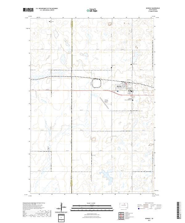
2021 Map of Bowdle
USGS Topo · Published 2021About this map
Bowdle serves as the primary hub of this high plains landscape at the border of Walworth and Edmunds counties. The town's grid is defined by its agricultural and transit roots, with Main St and Depot St anchoring the community near the local rail corridor. The area is notable for its high concentration of small, family-associated or denominational burial grounds, including Glueckstal Cem and Ketterling Cem, reflecting the early 20th-century settlement patterns of the region's German-Russian immigrant heritage. Beyond the town limits, the terrain is marked by the meandering path of Swan Lake Cr and numerous small wetlands. This modern survey also documents the Bowdle Municipal Airport and religious centers such as Saint John Evangelical Lutheran, preserving the cultural and infrastructure layout of the contemporary South Dakota prairie.
Find a feature on this map
32 named features on this map. Tap any name to fly to it.
Don’t see what you’re looking for? This feature index may not catch every label — zoom into the map to look around manually.
Map Details
Editions of this 2021 Bowdle Map
This is the sole edition of this map. No revisions or reprints were ever made.
Other maps of this area

1954 · Aberdeen
USGS Topo · 1:250,000

1956 · Aberdeen
USGS Topo · 1:250,000

1974 · Gretna
USGS Topo · 1:24,000

1974 · Hoven Muni. Airport
USGS Topo · 1:24,000

1974 · Spring Lake
USGS Topo · 1:24,000

1974 · Bowdle SE
USGS Topo · 1:24,000

1974 · Bowdle
USGS Topo · 1:24,000

1978 · Hillsview SE
USGS Topo · 1:24,000

1978 · Bowdle SW
USGS Topo · 1:24,000

1978 · Bowdle-Hosmer Lake
USGS Topo · 1:24,000