Old Maps of Onaka, South Dakota for Academic Research
Study the evolution of Onaka with 10 high-resolution historic maps. Whether you're teaching, researching, or modeling changes in land use, these maps provide essential visual documentation of urban, environmental, and geographic change.
- Analyze long-term change: Track patterns in development, transportation, and natural features.
- Ideal for environmental or urban studies: Support academic projects with primary historical map data.
- Use in the classroom or lab: Educators and researchers rely on these maps to bring historical context to life.
These maps are a powerful tool for teaching, research, and visualizing how Onaka has changed over the decades.
Onaka, SD maps
(10)- 1950 Map of Onaka, 1978 Print
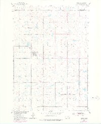 1950 Onaka1978 Print · USGSOnaka and the surrounding prairie townships are captured here at mid-century during a period of shifting rural infrastructure. Genealogists and local historians can locate the East Sherman Sch, trace the Old Railroad Grade, and explore the Madison Hills.
 - 1952 Map of Onaka
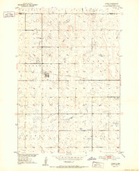 1952 Onaka1952 Print · USGSThe rural prairie of Faulk and Edmunds counties is captured in the early fifties as the local economy transitioned away from rail. Researchers can trace the Old Railroad Grade through Onaka and locate rural landmarks like East Sherman Sch.
 - 1954 Map of Aberdeen, 1964 Print
 1954 Aberdeen1964 Print · USGSNortheastern South Dakota in the mid-fifties remains a world of rail-dependent prairie towns and sweeping waterfowl refuges. Genealogists can trace family roots through settlements like Eureka and Ipswich or locate rural landmarks near Richmond Lake.2 unique versions available
 - 1956 Map of Aberdeen
 1956 Aberdeen1956 Print · USGSUpper South Dakota during the mid-fifties remains a landscape of rail-connected farming towns and expansive glacial lake basins. Genealogists and historians can trace the paths of the Minneapolis and St Louis railroad through Gettysburg or locate vanished stops near Elm Lake and Richmond Lake.
 - 1965 Map of Onaka, 1966 Print
 1965 Onaka1966 Print · USGSThe town of Onida and its surrounding prairie landscape are captured here in the mid-1960s. Researchers can trace the Chicago and North Western rail line and locate local landmarks such as the County Fairground and the Cem.
 - 1985 Map of Gettysburg
 1985 Gettysburg1985 Print · USGSIn the mid-1980s, the plains of north-central South Dakota were shaped by the Burlington Northern railroad and dozens of protected wetlands. Researchers can trace the layout of rail towns like Bowdle, Hoven, and Faulkton alongside family landmarks like Southside Cem.3 unique versions available
 - 2012 Map of Onaka, 2012 Print
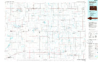
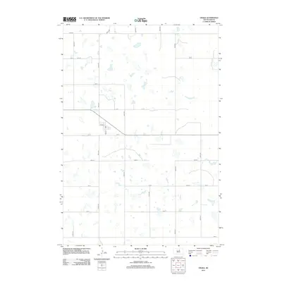 2012 Onaka2012 Print · USGSCovers Onaka, including Edmunds County, Faulk County, and other nearby areas
 - 2015 Map of Onaka, 2015 Print
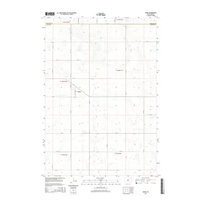 2015 Onaka2015 Print · USGSCovers Onaka, including Edmunds County, Faulk County, and other nearby areas
 - 2017 Map of Onaka, 2017 Print
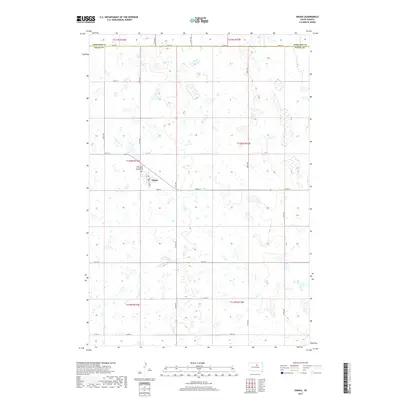 2017 Onaka2017 Print · USGSCovers Onaka, including Edmunds County, Faulk County, and other nearby areas
 - 2021 Map of Onaka, 2021 Print
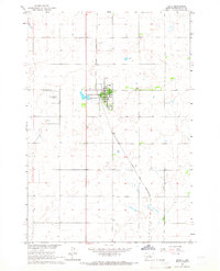
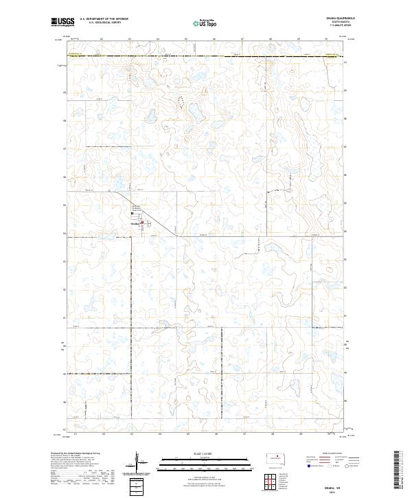 2021 Onaka2021 Print · USGSThe rural settlement of Onaka and the surrounding Faulk County landscape are captured here in the early twenty-first century. Genealogists and local historians can trace the town's layout near Saint John the Baptist and Onaka Cem across a terrain defined by many prairie wetlands.
End of results
Showing maps 1-10 of 10
Top cities near Onaka
Frequently asked questions
- What are the different types of historical maps available for Onaka?
- What is the oldest map of Onaka?
- Where can I purchase historical maps of Onaka for my home or office?
- Where can I download high-res historical maps of Onaka?
- Are there historical topographic maps available for Onaka?
- Is there historical aerial imagery available for Onaka?
- Where are historical maps of Onaka sourced from?