Old Maps of Victory West Township, Fort Thompson District for Academic Research
Study the evolution of Victory West Township with 13 high-resolution historic maps. Whether you're teaching, researching, or modeling changes in land use, these maps provide essential visual documentation of urban, environmental, and geographic change.
- Analyze long-term change: Track patterns in development, transportation, and natural features.
- Ideal for environmental or urban studies: Support academic projects with primary historical map data.
- Use in the classroom or lab: Educators and researchers rely on these maps to bring historical context to life.
These maps are a powerful tool for teaching, research, and visualizing how Victory West Township has changed over the decades.
Victory West Township, Fort Thompson District maps
(13)- 1953 Map of Huron, 1959 Print
 1953 Huron1959 Print · USGSCentral South Dakota comes alive in the mid-1950s as a thriving rail and agricultural corridor between the Missouri and James Rivers. Trace the legacy of family farms and prairie towns like Huron, Faulkton, and Wessington Springs along the historic Chicago and North Western rail lines.3 unique versions available
 - 1954 Map of Huron, 1977 Print
 1954 Huron1977 Print · USGSCentral South Dakota was a landscape of grain elevators and river bends during the mid-fifties. Genealogists and historians can trace the development of the James River valley through railroad towns like Redfield and the sprawling Crow Creek Indian Reservation.
 - 1966 Map of Big Bend Dam, 1967 Print
 1966 Big Bend Dam1967 Print · USGSThe Missouri River landscape near the Crow Creek and Lower Brule reservations underwent dramatic changes in the mid-1960s following dam construction. Researchers can trace the layout of Fort Thompson, locate the St Joseph Cem, and identify old sites like the Big Bend Landing Strip.
 - 1966 Map of Lower Brule, 1967 Print
 1966 Lower Brule1967 Print · USGSThe Missouri River breaks and the waters of Lake Sharpe define this mid-1960s look at the Lower Brule community. Researchers can locate the Council House, Christ Ch, and early recreation sites like the Counselor Creek Recreation Area.2 unique versions available
 - 1985 Map of Big Bend Dam, 1986 Print
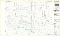 1985 Big Bend Dam1986 Print · USGSThe Missouri River landscape of the mid-1980s is defined by the massive Big Bend Dam and the sprawling waters of Lake Sharpe. Genealogists and historians can trace reservation boundaries and rural outposts like Fort Thompson, Stephan, and the Miller Dale Colony.2 unique versions available
 - 2012 Map of Big Bend Dam, 2012 Print
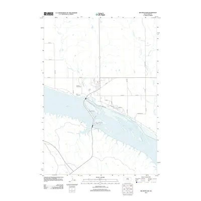 2012 Big Bend Dam2012 Print · USGSThe Missouri River is transformed by industrial infrastructure in this early twenty-first-century survey of the Buffalo County region. Researchers can trace the massive Big Bend Dam and find local landmarks like Saint Joseph Cem and Big Bend Landing Strip.
 - 2012 Map of Lower Brule, 2012 Print
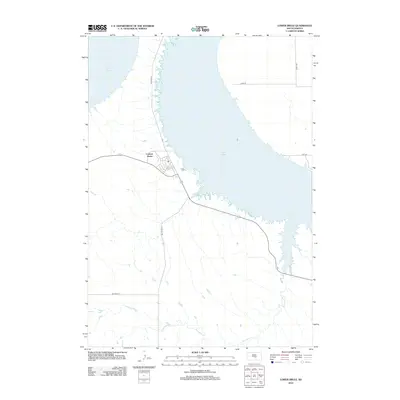 2012 Lower Brule2012 Print · USGSThe Missouri River landscape near the Big Bend District is captured here in the early twenty-first century. Researchers can trace the layout of the Council House settlement and follow the paths of Bia Route 10 and Counselor Cr.
 - 2015 Map of Big Bend Dam, 2015 Print
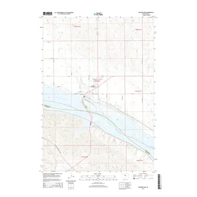 2015 Big Bend Dam2015 Print · USGSFort Thompson and the massive Big Bend Dam define this Missouri River landscape in the mid-2010s. Researchers can trace local infrastructure around Fort Thompson, find the Saint Joseph Cem, and follow The Native American Scenic Byway along the river bluffs.
 - 2015 Map of Lower Brule, 2015 Print
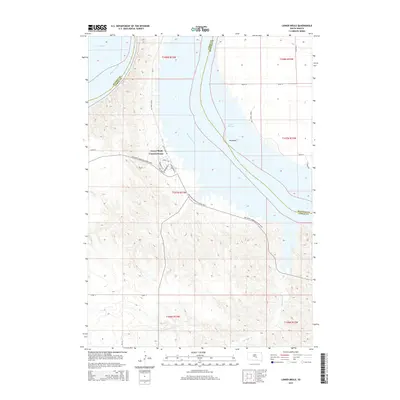 2015 Lower Brule2015 Print · USGSCentral South Dakota in the twenty-first century reveals the tribal heart of the Lower Brule Council House along the Missouri River. Trace reservation geography and local landmarks like Big Bend and Lake Sharpe.
 - 2017 Map of Lower Brule, 2017 Print
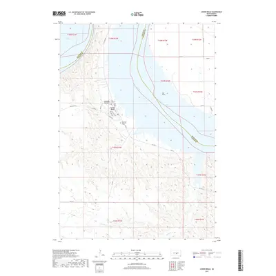 2017 Lower Brule2017 Print · USGSThe Lower Brule Reservation landscape is captured here in the late 2010s as it borders the Missouri River. Genealogists and local historians can locate the Council House, the Holy Comforter Cem, and the Lower Brule Community College.
 - 2017 Map of Big Bend Dam, 2017 Print
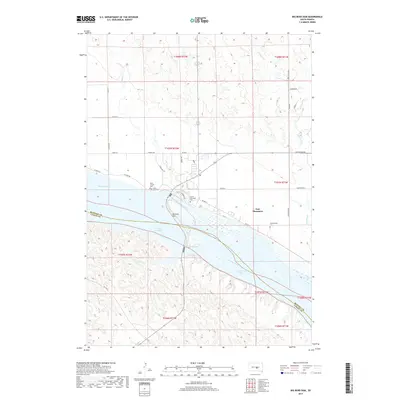 2017 Big Bend Dam2017 Print · USGSThe Missouri River landscape near Fort Thompson is captured here in the late twenty-tens, centered on the massive engineering of the Big Bend Dam. Genealogists and local historians can trace family sites at Saint Joseph Cem, Lake View Cem, and the Presbyterian Cem.
 - 2021 Map of Lower Brule, 2021 Print
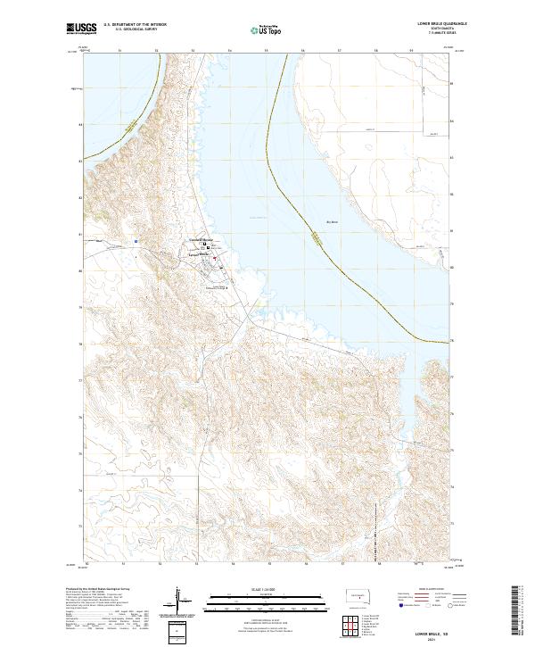 2021 Lower Brule2021 Print · USGSLower Brule and the Missouri River's dramatic shoreline are recorded here as they appeared in the early 2020s. Researchers can locate local landmarks like the Council House and Holy Comforter Cem, or trace the winding course of Counselor Cr.
 - 2021 Map of Big Bend Dam, 2021 Print
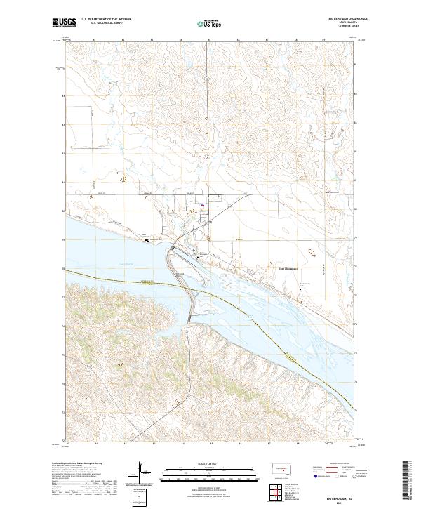 2021 Big Bend Dam2021 Print · USGSFort Thompson and the Crow Creek Reservation are shown here as they appear today, dominated by the engineering of the Big Bend Dam. Genealogists and researchers can locate local landmarks like the Presbyterian Cem, Lake View Cem, and the waters of Lake Sharpe.
End of results
Showing maps 1-13 of 13
Top cities near Victory West Township
Top neighborhoods of Victory West Township
Frequently asked questions
- What are the different types of historical maps available for Victory West Township?
- What is the oldest map of Victory West Township?
- Where can I purchase historical maps of Victory West Township for my home or office?
- Where can I download high-res historical maps of Victory West Township?
- Are there historical topographic maps available for Victory West Township?
- Is there historical aerial imagery available for Victory West Township?
- Where are historical maps of Victory West Township sourced from?