Old Maps of Cleveland Township, South Dakota for Metal Detecting
Plan your next treasure hunt with 23 historic maps of Cleveland Township. Find old homesites, ghost towns, trails, and gathering spots that may be lost to time — perfect for identifying promising metal detecting locations.
- Locate forgotten sites: Uncover places like long-lost settlements, abandoned rail lines, or gathering spots.
- Plan better hunts: Use map overlays combined with LiDAR or satellite views to narrow in on historically rich areas.
- Made for detectorists: Thousands of hobbyists use these maps to discover relics, coins, and hidden history.
Use these historic maps to boost your research and find new opportunities beneath the surface of Cleveland Township.
Cleveland Township, SD maps
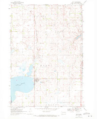
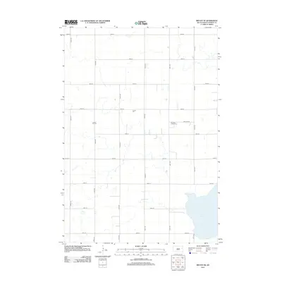
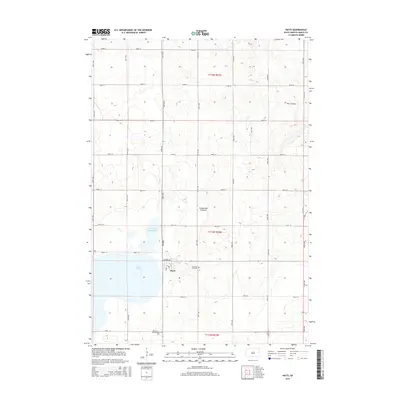
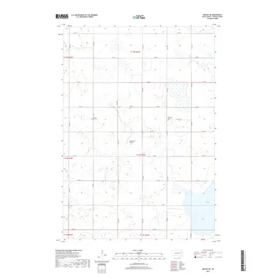
(23)- 1953 Map of Watertown, 1968 Print
 1953 Watertown1968 Print · USGSEastern South Dakota and the Minnesota borderlands are captured here during the mid-twentieth century as the region's agricultural and rail-service centers thrived. Genealogists and local historians can trace family-named sites across the Coteau des Prairies and find landmarks in Watertown, De Smet, and Brookings.3 unique versions available
 - 1958 Map of Watertown
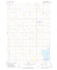
 1958 Watertown1958 Print · USGSThe eastern South Dakota prairie and the Minnesota borderlands are captured here in the late fifties, showcasing a landscape of terminal moraine lakes and burgeoning rail hubs. Genealogists and historians can trace the early paths of the Chicago and North Western railroad or locate family roots in Watertown, Clark, or the Sisseton Indian Reservation.2 unique versions available
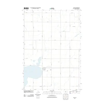
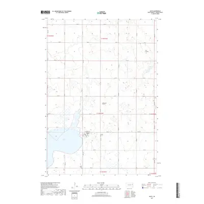
 - 1969 Map of Hayti, 1971 Print
 1969 Hayti1971 Print · USGSThe town of Hayti and the waters of Lake Marsh dominate this Hamlin County landscape in the late sixties. Genealogists and local researchers can trace family landmarks like Pleasant View Cem, West Norden Cem, and the path of the Burlington Northern railroad.
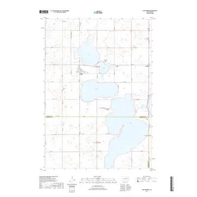
 - 1969 Map of Lake Norden, 1971 Print
 1969 Lake Norden1971 Print · USGSHamlin County and its neighbors are seen here in the late sixties, a landscape defined by prairie lakes and the Burlington Northern line. Researchers can trace rural genealogy through South Trinity Cem, Apostolic Cem, and the settlement at Alsville.
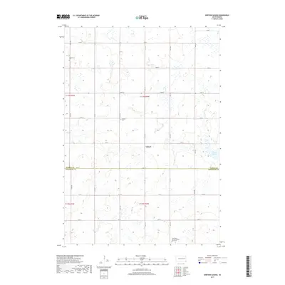
 - 1973 Map of Bryant NE, 1978 Print
 1973 Bryant NE1978 Print · USGSHamlin County's prairie wetlands are documented here in the early 1970s, showcasing a landscape of rural townships and scattered farmsteads. Researchers can locate family landmarks like Pioneer Cem, Zion Cem, and New Hope Ch near the banks of Lake Marsh.
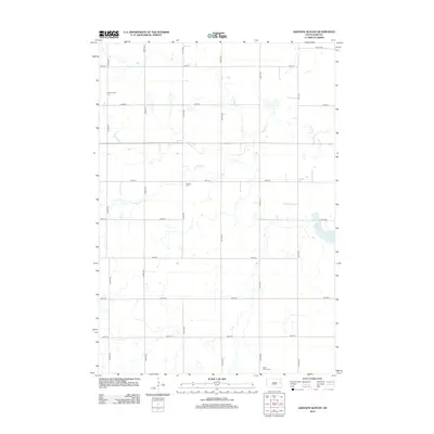
 - 1973 Map of Gertson Slough, 1978 Print
 1973 Gertson Slough1978 Print · USGSHamlin and Kingsbury counties are captured here in the early seventies, showing a landscape defined by prairie wetlands and rural townships. Genealogists can locate several family landmarks and community sites, such as the Scandinavian Cemetery, Garfield Church, and St Peters Cemetery.
 - 1985 Map of Watertown
 1985 Watertown1985 Print · USGSEastern South Dakota in the mid-eighties remains a landscape of expansive prairie wetlands and agricultural rail towns. Genealogists and local historians can trace the routes of the CHICAGO AND NORTH WESTERN railroad through Garden City, Vienna, and Watertown.2 unique versions available
 - 2012 Map of Bryant NE, 2012 Print
 2012 Bryant NE2012 Print · USGSCovers Cleveland Township, including Opdahl Township, Oxford Township, and other nearby areas
 - 2012 Map of Hayti, 2012 Print
 2012 Hayti2012 Print · USGSCovers Cleveland Township, including Hayti, Opdahl Township, and other nearby areas
 - 2012 Map of Gertson Slough, 2012 Print
 2012 Gertson Slough2012 Print · USGSCovers Cleveland Township, including Garfield Township, Kingsbury County, and other nearby areas
 - 2012 Map of Lake Norden, 2012 Print
 2012 Lake Norden2012 Print · USGSCovers Cleveland Township, including Lake Norden, Norden Township, and other nearby areas
 - 2015 Map of Hayti, 2015 Print
 2015 Hayti2015 Print · USGSCovers Cleveland Township, including Hayti, Opdahl Township, and other nearby areas
 - 2015 Map of Bryant NE, 2015 Print
 2015 Bryant NE2015 Print · USGSCovers Cleveland Township, including Opdahl Township, Oxford Township, and other nearby areas
 - 2015 Map of Lake Norden, 2015 Print
 2015 Lake Norden2015 Print · USGSCovers Cleveland Township, including Lake Norden, Norden Township, and other nearby areas
 - 2015 Map of Gertson Slough, 2015 Print
 2015 Gertson Slough2015 Print · USGSCovers Cleveland Township, including Garfield Township, Kingsbury County, and other nearby areas
 - 2017 Map of Bryant NE, 2017 Print
 2017 Bryant NE2017 Print · USGSCovers Cleveland Township, including Opdahl Township, Oxford Township, and other nearby areas
 - 2017 Map of Hayti, 2017 Print
 2017 Hayti2017 Print · USGSCovers Cleveland Township, including Hayti, Opdahl Township, and other nearby areas
 - 2017 Map of Gertson Slough, 2017 Print
 2017 Gertson Slough2017 Print · USGSCovers Cleveland Township, including Garfield Township, Kingsbury County, and other nearby areas
 - 2017 Map of Lake Norden, 2017 Print
 2017 Lake Norden2017 Print · USGSCovers Cleveland Township, including Lake Norden, Norden Township, and other nearby areas
 - 2021 Map of Bryant NE, 2021 Print
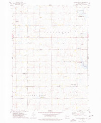
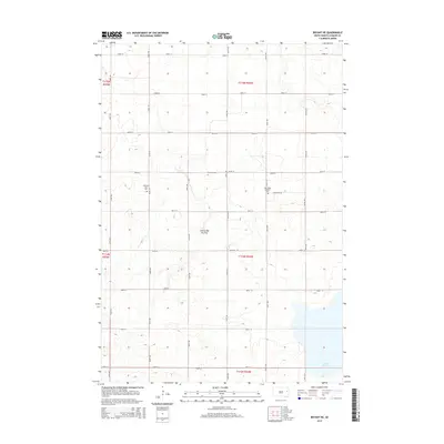
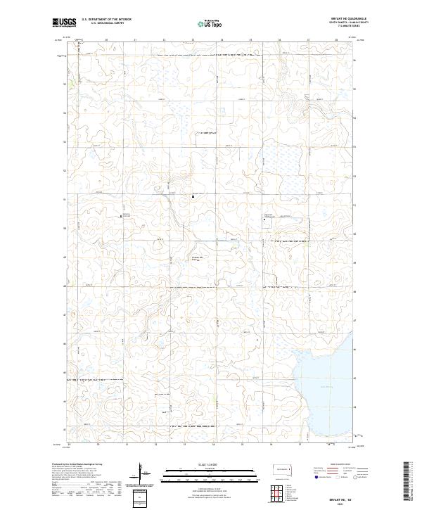 2021 Bryant NE2021 Print · USGSHamlin County’s upland prairies are captured here in the early twenty-first century, showing a landscape defined by agriculture and early settlement. Researchers can locate family-named sites like Kellerton Zion Cem and trace the shores of Lake Marsh.
 - 2021 Map of Gertson Slough, 2021 Print
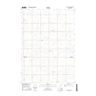
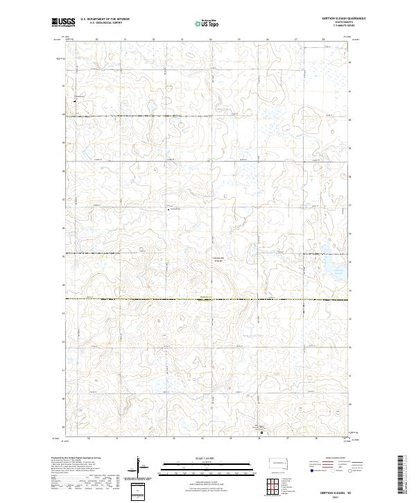 2021 Gertson Slough2021 Print · USGSHamlin and Kingsbury counties are captured here in the early twenty-first century, showing the prairie wetland systems of the Coteau des Prairies. Genealogists can locate family sites at the Saint Peter's German Lutheran Church Cem and the Scandinavian Cem.
 - 2021 Map of Lake Norden, 2021 Print
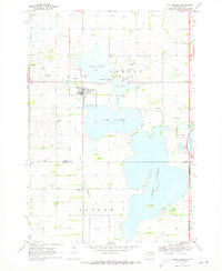
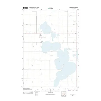
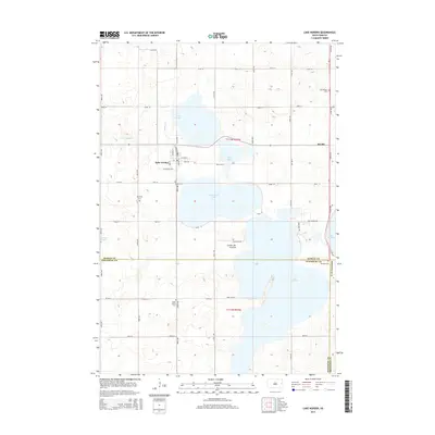
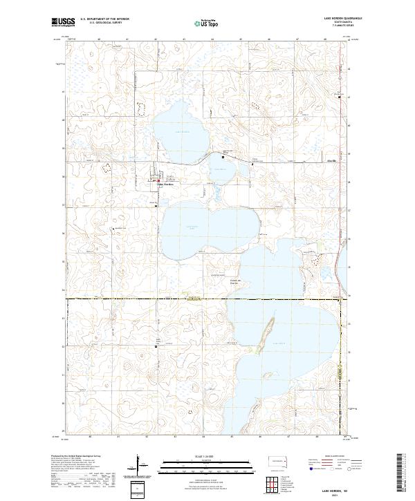 2021 Lake Norden2021 Print · USGSThe lakeside communities of eastern South Dakota are captured here in the early twenty-first century. Researchers can trace local history through numerous burial sites like Olivet Cem and Trinity Lutheran Cem, or explore the geography of Lake Norden and the Coteau des Prairies.
 - 2021 Map of Hayti, 2021 Print
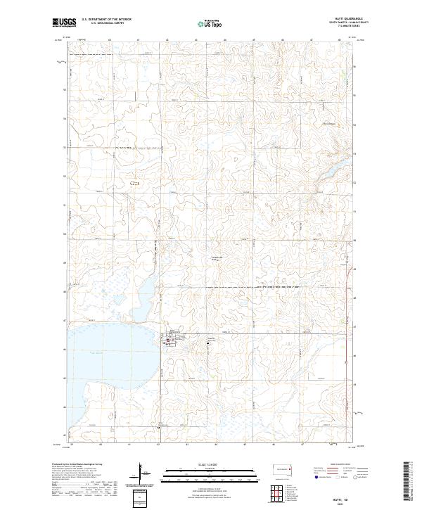 2021 Hayti2021 Print · USGSHayti and the surrounding prairie are captured here in the early twenty-first century, centered on the Hamlin County seat. Genealogists and local historians can locate the Hamlin County Courthouse and trace family plots at Pleasant View Cem and West Norden Cem.
End of results
Showing maps 1-23 of 23
Top cities near Cleveland Township
- De Smet historical maps
- Arlington historical maps
- Lake Preston historical maps
- Lake Norden historical maps
- Bryant historical maps
- Hayti historical maps
See more
Frequently asked questions
- What are the different types of historical maps available for Cleveland Township?
- What is the oldest map of Cleveland Township?
- Where can I purchase historical maps of Cleveland Township for my home or office?
- Where can I download high-res historical maps of Cleveland Township?
- Are there historical topographic maps available for Cleveland Township?
- Is there historical aerial imagery available for Cleveland Township?
- Where are historical maps of Cleveland Township sourced from?