2020s Maps of Cleveland Township, South Dakota
Explore 4 historic maps of Cleveland Township from the 2020s. These maps offer a rare glimpse into what life looked like during the 2020s — showing old roads, neighborhoods, homes, and landmarks that have changed or disappeared over time.
Whether you're researching your family's past, planning a metal detecting trip, or studying how Cleveland Township's landscape evolved across the 2020s, these high-resolution maps are a powerful tool for exploring the history of this region.
- Focus on a specific era: All maps on this page are from the 2020s, giving you a focused view of this time period.
- See what’s changed: Compare century-old streets, trails, and buildings to today's modern landscape using overlays and satellite layers.
- Research with precision: Use these maps for genealogy, historical research, land use analysis, or educational projects.
- View, download, or print: Maps are fully viewable online in high resolution, and can be downloaded or printed for your own records.
Start exploring Cleveland Township's history through authentic maps from the 2020s. This is your window into the past.
Cleveland Township, SD maps
(4)- 2021 Map of Bryant NE, 2021 Print
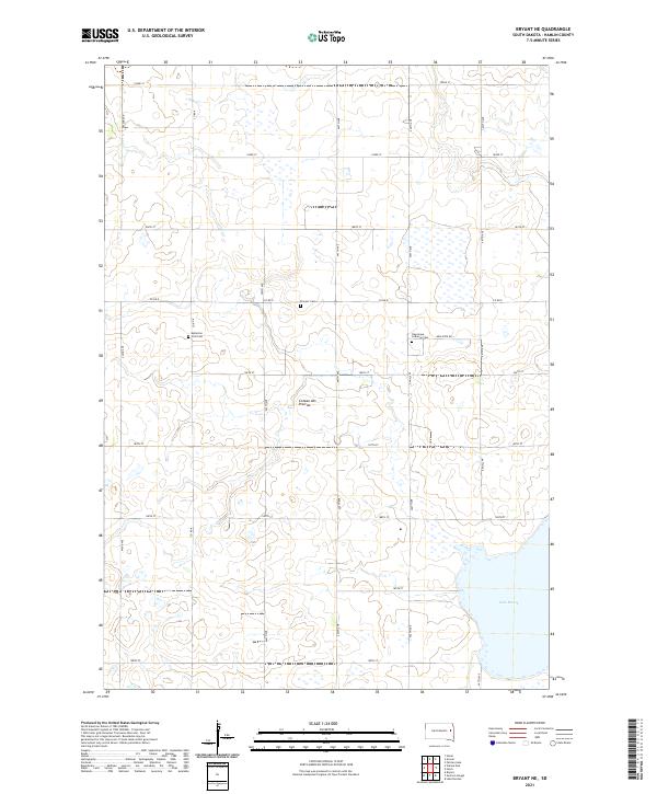 2021 Bryant NE2021 Print · USGSHamlin County’s upland prairies are captured here in the early twenty-first century, showing a landscape defined by agriculture and early settlement. Researchers can locate family-named sites like Kellerton Zion Cem and trace the shores of Lake Marsh.
 - 2021 Map of Gertson Slough, 2021 Print
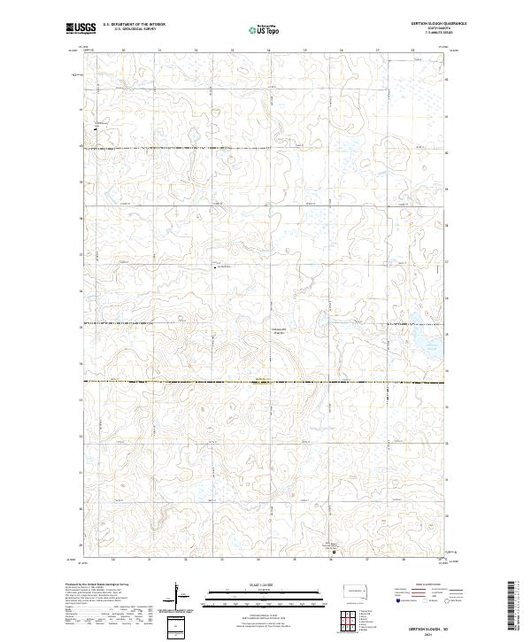 2021 Gertson Slough2021 Print · USGSHamlin and Kingsbury counties are captured here in the early twenty-first century, showing the prairie wetland systems of the Coteau des Prairies. Genealogists can locate family sites at the Saint Peter's German Lutheran Church Cem and the Scandinavian Cem.
 - 2021 Map of Lake Norden, 2021 Print
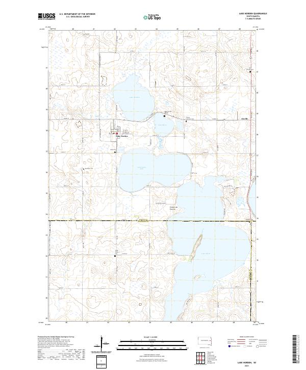 2021 Lake Norden2021 Print · USGSThe lakeside communities of eastern South Dakota are captured here in the early twenty-first century. Researchers can trace local history through numerous burial sites like Olivet Cem and Trinity Lutheran Cem, or explore the geography of Lake Norden and the Coteau des Prairies.
 - 2021 Map of Hayti, 2021 Print
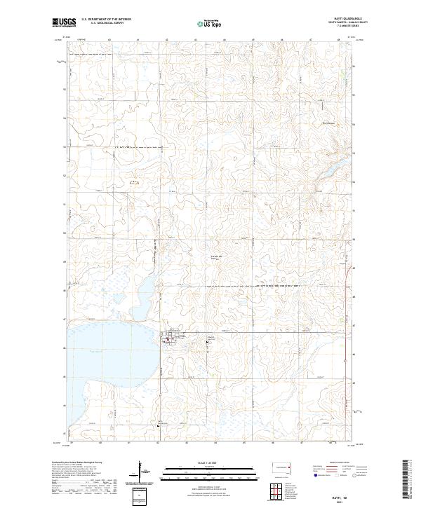 2021 Hayti2021 Print · USGSHayti and the surrounding prairie are captured here in the early twenty-first century, centered on the Hamlin County seat. Genealogists and local historians can locate the Hamlin County Courthouse and trace family plots at Pleasant View Cem and West Norden Cem.
End of results
Showing maps 1-4 of 4
Top cities near Cleveland Township
- De Smet historical maps
- Arlington historical maps
- Lake Preston historical maps
- Lake Norden historical maps
- Bryant historical maps
- Hayti historical maps
See more
Frequently asked questions
- What are the different types of historical maps available for Cleveland Township?
- What is the oldest map of Cleveland Township?
- Where can I purchase historical maps of Cleveland Township for my home or office?
- Where can I download high-res historical maps of Cleveland Township?
- Are there historical topographic maps available for Cleveland Township?
- Is there historical aerial imagery available for Cleveland Township?
- Where are historical maps of Cleveland Township sourced from?