Old Maps of Taylor Township, South Dakota for Hiking & Exploration
Hike through history with 26 historic maps of Taylor Township. Explore old trails, ghost towns, and forgotten backroads — perfect for outdoor adventurers and local explorers.
- Rediscover forgotten places: Map out old mining camps, roads, and footpaths that no longer exist on modern maps.
- Layer with modern tools: Combine with LiDAR or satellite views to plan hikes through historical terrain.
- Made for exploration: Popular among hikers, overlanders, and local history lovers.
Use these maps to find adventure and explore the hidden past of Taylor Township.
Taylor Township, SD maps
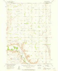
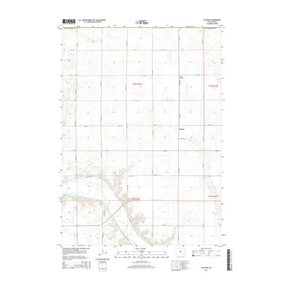
(26)- 1898 Map of Olivet
 1898 Olivet1898 Print · USGSHutchinson County at the close of the nineteenth century was a landscape of emerging rail towns and river valley farmsteads. Trace the early expansion of the Chicago Milwaukee and St Paul RR near Olivet and Scotland.4 unique versions available
 - 1899 Map of Alexandria
 1899 Alexandria1899 Print · USGSHanson County and the James River valley are captured here at the peak of the late-nineteenth-century rail boom. Genealogists can trace family footprints in early settlements like Rockport, Epiphany, and Alexandria or follow the path of the James River.5 unique versions available
 - 1955 Map of Sioux Falls, 1967 Print
 1955 Sioux Falls1967 Print · USGSThe eastern South Dakota and western Minnesota borderlands come alive in the mid-fifties, showing the vital rail-to-river connections of the era. Genealogists can trace family footprints across townships like Madison and Pipestone, while following the paths of the Big Sioux River and the Chicago and North Western line.3 unique versions available
 - 1957 Map of Clayton, 1958 Print
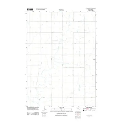
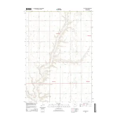
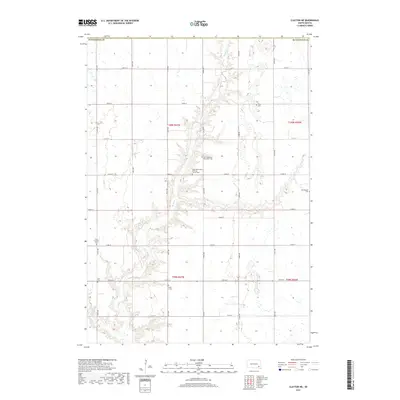
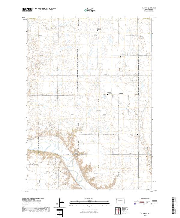
 1957 Clayton1958 Print · USGSHutchinson County prairie life in the late fifties is defined here by the winding James River and a distributed network of rural schoolhouses. Genealogists can trace family roots through sites like Rademacher Cem, Clayton Sch, and the Congregational Ch.2 unique versions available
 - 1958 Map of Sioux Falls
 1958 Sioux Falls1958 Print · USGSThe tri-state borderlands of South Dakota, Minnesota, and Iowa are captured here during the mid-century peak of the regional rail network. Genealogists and historians can trace local landmarks like Augustana Academy, the St Marys Cem, and the path of the Illinois Central through Rock Rapids.
 - 1970 Map of Clayton NE, 1972 Print
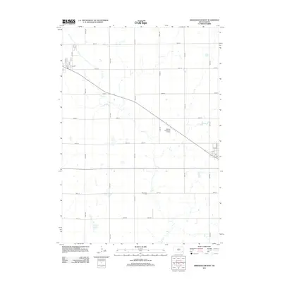
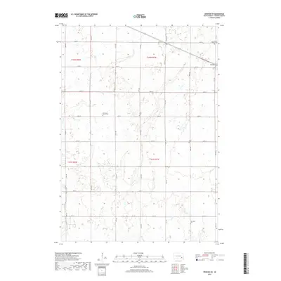
 1970 Clayton NE1972 Print · USGSHutchinson County agriculture and community life are well-documented in the early seventies, featuring the rolling prairie around Wolf Creek. Genealogists can trace local roots through landmarks like Stern Cem, New Hutterthal Ch, and the shores of Silver Lake.
 - 1973 Map of Spencer SW, 1978 Print
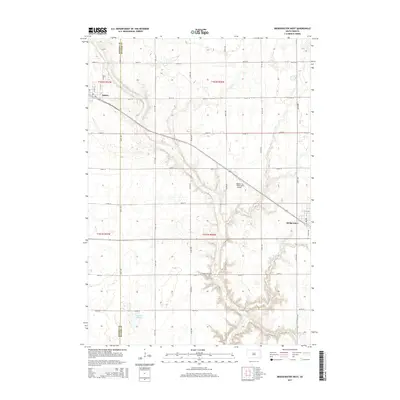
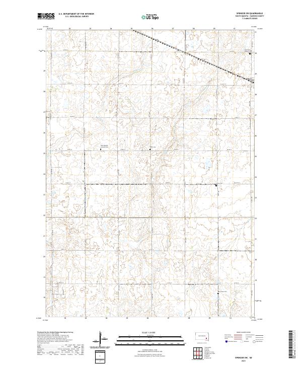
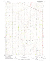 1973 Spencer SW1978 Print · USGSHanson County is captured here in the early 1970s, focused on the rail-side community of Emery and the surrounding townships. Researchers can trace family history through several local burial sites like St Martins Cem and Elfert Cem or follow the path of the Chicago Milwaukee St Paul and Pacific railroad.
 - 1973 Map of Bridgewater West, 1978 Print
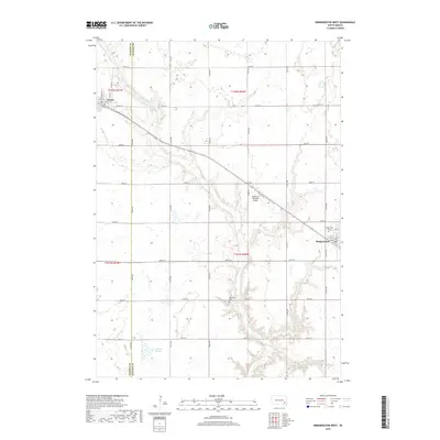
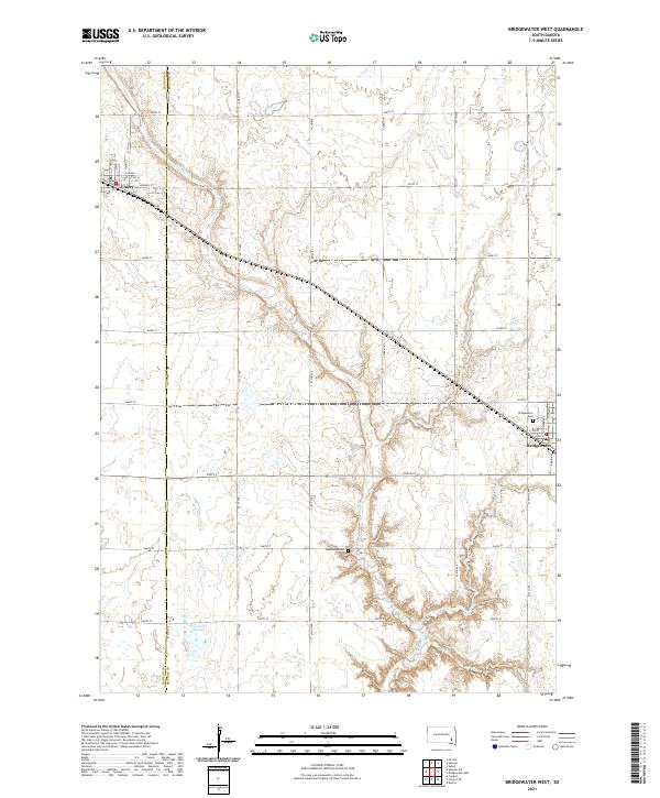
 1973 Bridgewater West1978 Print · USGSThis South Dakota prairie landscape in the 1970s reveals the intersection of the railroad and rural life along the Hanson and McCook County line. Researchers can locate family sites like Rasmussen Cem or trace the path of the Chicago Milwaukee St Paul and Pacific railroad.
 - 1985 Map of Salem
 1985 Salem1985 Print · USGSEastern South Dakota’s prairie landscape is showcased in the mid-eighties, highlighting a region defined by agricultural colonies and rail-linked towns. Genealogists and historians can trace the foundations of Rosedale Colony, the Buffalo Trading Post, and early hubs like Salem.
 - 1985 Map of Freeman
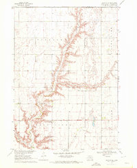
 1985 Freeman1985 Print · USGSThe James River valley in the mid-1980s reveals a landscape of communal farming colonies and railroad-anchored prairie towns. Researchers can trace the layout of several Hutterite settlements like Maxwell Colony or locate local landmarks like Gagna Station and Turkey Ridge.2 unique versions available
 - 2012 Map of Bridgewater West, 2012 Print
 2012 Bridgewater West2012 Print · USGSCovers Taylor Township, including Bridgewater, Emery, and other nearby areas
 - 2012 Map of Clayton, 2012 Print
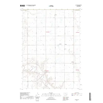
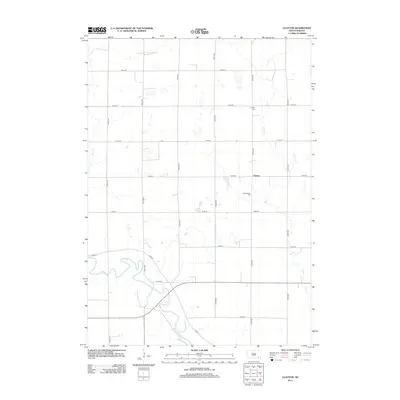 2012 Clayton2012 Print · USGSCovers Taylor Township, including Clayton, Clayton Township, and other nearby areas
 - 2012 Map of Clayton NE, 2012 Print
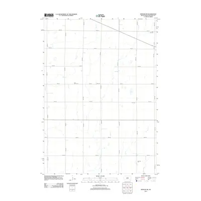
 2012 Clayton NE2012 Print · USGSCovers Taylor Township, including Pleasant Township, Grandview Township, and other nearby areas
 - 2012 Map of Spencer SW, 2012 Print
 2012 Spencer SW2012 Print · USGSCovers Taylor Township, including Emery, Wayne Township, and other nearby areas
 - 2015 Map of Clayton NE, 2015 Print
 2015 Clayton NE2015 Print · USGSCovers Taylor Township, including Pleasant Township, Grandview Township, and other nearby areas
 - 2015 Map of Spencer SW, 2015 Print
 2015 Spencer SW2015 Print · USGSCovers Taylor Township, including Emery, Wayne Township, and other nearby areas
 - 2015 Map of Bridgewater West, 2015 Print
 2015 Bridgewater West2015 Print · USGSCovers Taylor Township, including Bridgewater, Emery, and other nearby areas
 - 2015 Map of Clayton, 2015 Print
 2015 Clayton2015 Print · USGSCovers Taylor Township, including Clayton, Clayton Township, and other nearby areas
 - 2017 Map of Clayton NE, 2017 Print
 2017 Clayton NE2017 Print · USGSCovers Taylor Township, including Pleasant Township, Grandview Township, and other nearby areas
 - 2017 Map of Bridgewater West, 2017 Print
 2017 Bridgewater West2017 Print · USGSCovers Taylor Township, including Bridgewater, Emery, and other nearby areas
 - 2017 Map of Spencer SW, 2017 Print
 2017 Spencer SW2017 Print · USGSCovers Taylor Township, including Emery, Wayne Township, and other nearby areas
 - 2017 Map of Clayton, 2017 Print
 2017 Clayton2017 Print · USGSCovers Taylor Township, including Clayton, Clayton Township, and other nearby areas
 - 2021 Map of Bridgewater West, 2021 Print
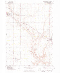
 2021 Bridgewater West2021 Print · USGSThe agricultural heartland of Hanson and McCook Counties comes into focus in this modern survey of the South Dakota prairie. Genealogists and local historians can trace the rural landscape through Rasmussen Cemetery, the streets of Emery, and the banks of Wolf Creek.
 - 2021 Map of Clayton, 2021 Print
 2021 Clayton2021 Print · USGSHutchinson County at the start of the 2020s remains a landscape of quiet prairie settlements and river bends. Genealogists can locate several local burial sites like Saint Peters Lutheran Cem and Rademacher Cem near the James River.
 - 2021 Map of Spencer SW, 2021 Print
 2021 Spencer SW2021 Print · USGSThis part of Hanson County shows a well-preserved prairie landscape as it appeared in the early twenty-first century. Researchers can trace rural lineages through local landmarks like Saint Martins Catholic Cem, New Hope Cem, and the town of Emery.
Showing maps 1-25 of 26
Top cities near Taylor Township
- Freeman historical maps
- Alexandria historical maps
- Bridgewater historical maps
- Emery historical maps
- Wolf Creek Hutterite Colony historical maps
- Spencer historical maps
See more
Frequently asked questions
- What are the different types of historical maps available for Taylor Township?
- What is the oldest map of Taylor Township?
- Where can I purchase historical maps of Taylor Township for my home or office?
- Where can I download high-res historical maps of Taylor Township?
- Are there historical topographic maps available for Taylor Township?
- Is there historical aerial imagery available for Taylor Township?
- Where are historical maps of Taylor Township sourced from?