Old Maps of Karinen, South Dakota for Genealogy
Trace your family roots with 10 historic maps of Karinen. These high-res maps reveal old neighborhoods, homesites, landmarks, and streets — helping you uncover where your ancestors lived and how the area evolved over time.
- Explore historic neighborhoods: Identify where your relatives may have lived in the 1800s or 1900s.
- Compare maps over time: Trace the changes in streets, buildings, and landmarks for multi-generational research.
- Perfect for genealogy & ancestry research: Used by family historians and researchers to map out lineage and migration.
These maps are an incredible resource for exploring your personal connection to Karinen's past.
Karinen, SD maps
(10)- 1935 Map of Buffalo
 1935 Buffalo1935 Print · USGSHarding County in the mid-1930s remains a wide-open landscape where the early road system connects remote prairie outposts. Genealogists and historians can locate early settlements like Camp Crook and Bullock or trace the drainages of the Little Missouri River and South Fork Grand River.
 - 1954 Map of Lemmon, 1964 Print
 1954 Lemmon1964 Print · USGSThe high plains of South Dakota and North Dakota are documented here during the mid-twentieth century. Family researchers can trace dozens of country school sites like Green Cabin School and Bierke School alongside landmarks like The Castles.2 unique versions available
 - 1957 Map of Lemmon
 1957 Lemmon1957 Print · USGSThe northwestern plains of South Dakota and North Dakota are captured here in the mid-fifties, centered on the rail hub of Lemmon. Genealogists and historians can trace dozens of rural schoolhouses and vanished sites like Imogene and the Shadehill Reservoir area.
 - 1969 Map of Table Mountain, 1971 Print
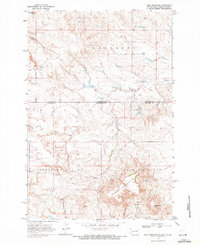 1969 Table Mountain1971 Print · USGSThe high plains of Harding County come to life in the late 1960s, showing the remote borderlands between the Dakotas. Researchers can trace the small settlement of Karinen, locate the Karinen Sch, and explore landmarks like Dead Horse Butte.
 - 1980 Map of Camp Crook
 1980 Camp Crook1980 Print · USGSNorthwestern South Dakota and the North Dakota borderlands come into focus in the late seventies, showing a landscape of high buttes and river breaks. Researchers can trace remote ranching outposts like Ralph and Ladner or locate landmarks like Window Rock and the Harding County Airport.
 - 2011 Map of Table Mountain, 2011 Print
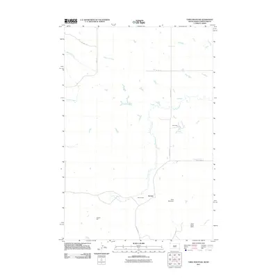 2011 Table Mountain2011 Print · USGSCovers Karinen, including Harding County, Bowman County, and other nearby areas
 - 2012 Map of Table Mountain, 2012 Print
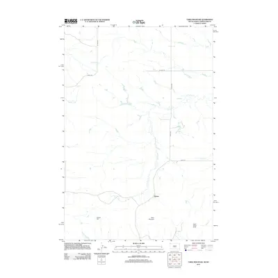 2012 Table Mountain2012 Print · USGSCovers Karinen, including Harding County, Bowman County, and other nearby areas
 - 2015 Map of Table Mountain, 2015 Print
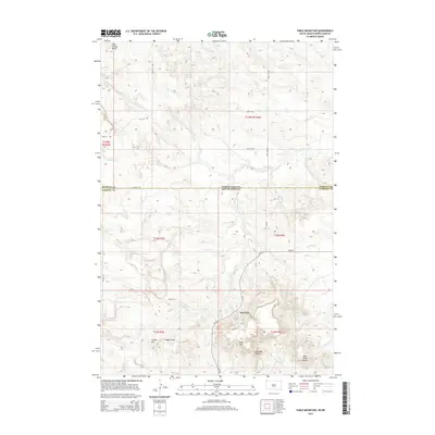 2015 Table Mountain2015 Print · USGSCovers Karinen, including Harding County, Bowman County, and other nearby areas
 - 2017 Map of Table Mountain, 2017 Print
 2017 Table Mountain2017 Print · USGSCovers Karinen, including Harding County, Bowman County, and other nearby areas
 - 2021 Map of Table Mountain, 2021 Print
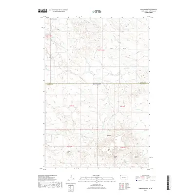
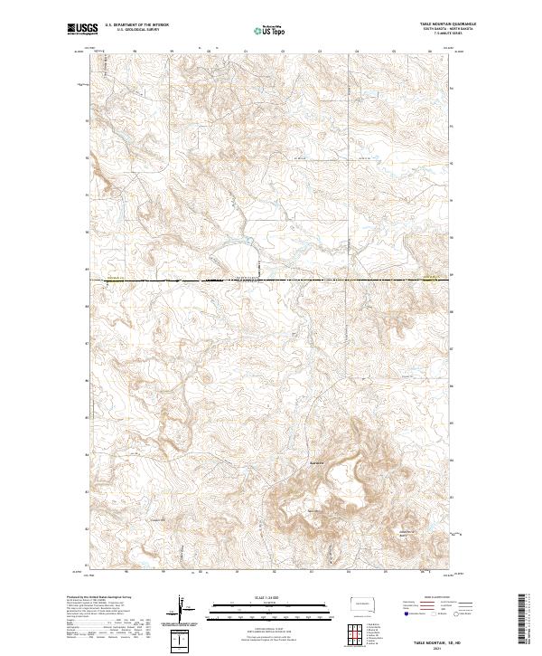 2021 Table Mountain2021 Print · USGSThe North Dakota and South Dakota borderlands come into focus in the early 2020s, showing a remote landscape of high buttes and prairie draws. Researchers can locate the settlement of Karinen or trace the drainage of Lone Tree Cr past landmarks like Table Mtn.
End of results
Showing maps 1-10 of 10
Frequently asked questions
- What are the different types of historical maps available for Karinen?
- What is the oldest map of Karinen?
- Where can I purchase historical maps of Karinen for my home or office?
- Where can I download high-res historical maps of Karinen?
- Are there historical topographic maps available for Karinen?
- Is there historical aerial imagery available for Karinen?
- Where are historical maps of Karinen sourced from?