2000s (21st Century) Maps of Milltown Township, South Dakota
Explore 16 historic maps of Milltown Township from the 2000s (21st Century). These maps offer a rare glimpse into what life looked like during the 2000s — showing old roads, neighborhoods, homes, and landmarks that have changed or disappeared over time.
Whether you're researching your family's past, planning a metal detecting trip, or studying how Milltown Township's landscape evolved across the 2000s, these high-resolution maps are a powerful tool for exploring the history of this region.
- Focus on a specific era: All maps on this page are from the 2000s, giving you a focused view of this time period.
- See what’s changed: Compare century-old streets, trails, and buildings to today's modern landscape using overlays and satellite layers.
- Research with precision: Use these maps for genealogy, historical research, land use analysis, or educational projects.
- View, download, or print: Maps are fully viewable online in high resolution, and can be downloaded or printed for your own records.
Start exploring Milltown Township's history through authentic maps from the 2000s. This is your window into the past.
Milltown Township, SD maps
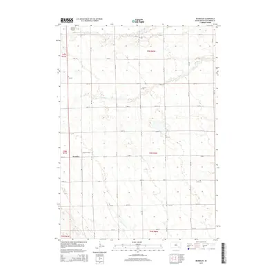
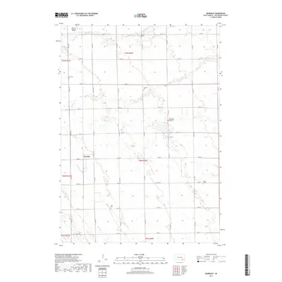
(16)- 2012 Map of Beardsley, 2012 Print
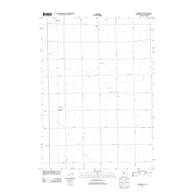 2012 Beardsley2012 Print · USGSCovers Milltown Township, including Beardsley, Fair Township, and other nearby areas
 - 2012 Map of Parkston, 2012 Print
 2012 Parkston2012 Print · USGSCovers Milltown Township, including Parkston, Dimock, and other nearby areas
 - 2012 Map of Parkston SE, 2012 Print
 2012 Parkston SE2012 Print · USGSCovers Milltown Township, including Wittenberg Township, Capital Township, and other nearby areas
 - 2012 Map of Milltown, 2012 Print
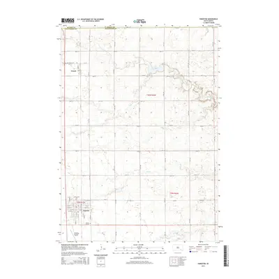
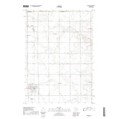
 2012 Milltown2012 Print · USGSCovers Milltown Township, including Milltown, Clayton Township, and other nearby areas
 - 2015 Map of Beardsley, 2015 Print
 2015 Beardsley2015 Print · USGSCovers Milltown Township, including Beardsley, Fair Township, and other nearby areas
 - 2015 Map of Parkston, 2015 Print
 2015 Parkston2015 Print · USGSCovers Milltown Township, including Parkston, Dimock, and other nearby areas
 - 2015 Map of Parkston SE, 2015 Print
 2015 Parkston SE2015 Print · USGSCovers Milltown Township, including Wittenberg Township, Capital Township, and other nearby areas
 - 2015 Map of Milltown, 2015 Print
 2015 Milltown2015 Print · USGSCovers Milltown Township, including Milltown, Clayton Township, and other nearby areas
 - 2017 Map of Parkston, 2017 Print
 2017 Parkston2017 Print · USGSCovers Milltown Township, including Parkston, Dimock, and other nearby areas
 - 2017 Map of Milltown, 2017 Print
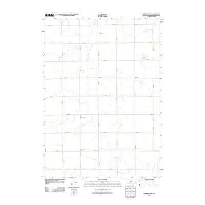
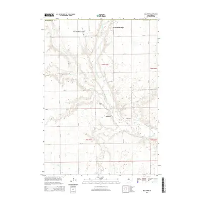
 2017 Milltown2017 Print · USGSCovers Milltown Township, including Milltown, Clayton Township, and other nearby areas
 - 2017 Map of Beardsley, 2017 Print
 2017 Beardsley2017 Print · USGSCovers Milltown Township, including Beardsley, Fair Township, and other nearby areas
 - 2017 Map of Parkston SE, 2017 Print
 2017 Parkston SE2017 Print · USGSCovers Milltown Township, including Wittenberg Township, Capital Township, and other nearby areas
 - 2021 Map of Parkston SE, 2021 Print
 2021 Parkston SE2021 Print · USGSHutchinson County is captured here in the early twenty-first century, showing a rural landscape organized by section-line roads and prairie streams. Researchers can locate several historic burial grounds including Drei Creek Cemetery, Kulm Cemetery, and Friedenfeld Cemetery.
 - 2021 Map of Beardsley, 2021 Print
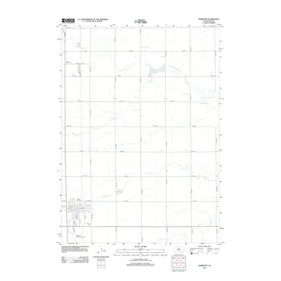
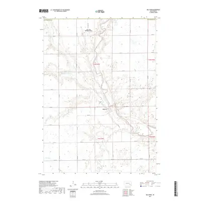
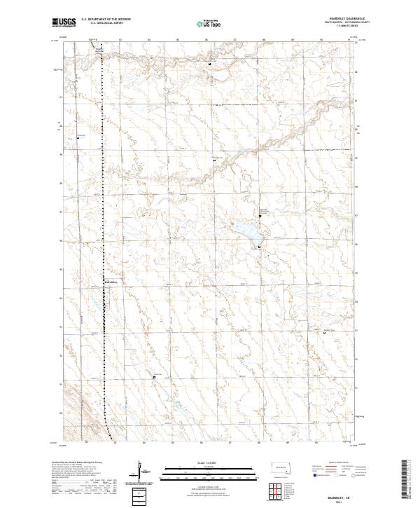 2021 Beardsley2021 Print · USGSHutchinson County at the start of the 2020s reveals a prairie landscape meticulously organized by section-line roads and family heritage. Researchers can trace rural lineages at the Christina Hensel Koth Gravesite or locate vanished community markers like Dakota City Cem and the crossroads of Beardsley.
 - 2021 Map of Milltown, 2021 Print
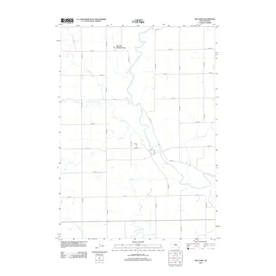
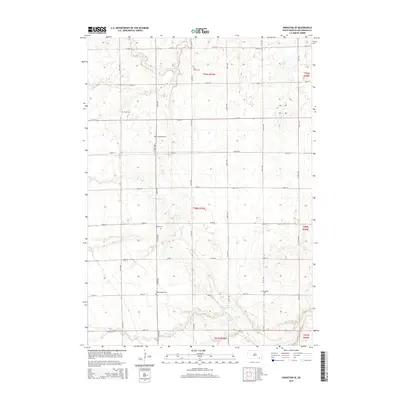
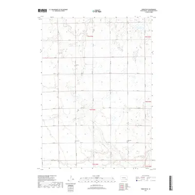
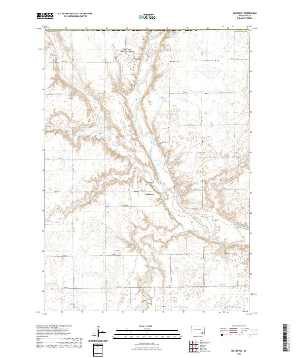 2021 Milltown2021 Print · USGSMilltown and the surrounding Hutchinson County prairie are captured here in the early twenty-first century as agricultural life continues along the James River. Researchers can locate the New Elm Springs Colony or trace the winding paths of Twelvemile Cr and Pony Cr.
 - 2021 Map of Parkston, 2021 Print
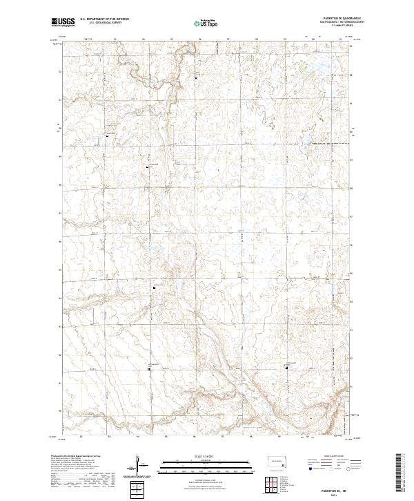
 2021 Parkston2021 Print · USGSParkston and Dimock are shown in detail at the start of the 2020s, revealing the enduring agricultural grid and local watercourses of Hutchinson County. Researchers can locate family sites and landmarks like Sacred Heart Cem, Parkston Cem, and the Parkston Municipal Airport.
End of results
Showing maps 1-16 of 16
Top cities near Milltown Township
- Parkston historical maps
- Tripp historical maps
- Emery historical maps
- Ethan historical maps
- Wolf Creek Hutterite Colony historical maps
- Kaylor historical maps
See more
Top neighborhoods of Milltown Township
Frequently asked questions
- What are the different types of historical maps available for Milltown Township?
- What is the oldest map of Milltown Township?
- Where can I purchase historical maps of Milltown Township for my home or office?
- Where can I download high-res historical maps of Milltown Township?
- Are there historical topographic maps available for Milltown Township?
- Is there historical aerial imagery available for Milltown Township?
- Where are historical maps of Milltown Township sourced from?