Old Maps of Blaine Township, South Dakota for Academic Research
Study the evolution of Blaine Township with 29 high-resolution historic maps. Whether you're teaching, researching, or modeling changes in land use, these maps provide essential visual documentation of urban, environmental, and geographic change.
- Analyze long-term change: Track patterns in development, transportation, and natural features.
- Ideal for environmental or urban studies: Support academic projects with primary historical map data.
- Use in the classroom or lab: Educators and researchers rely on these maps to bring historical context to life.
These maps are a powerful tool for teaching, research, and visualizing how Blaine Township has changed over the decades.
Blaine Township, SD maps
(29)- 1898 Map of Huron
 1898 Huron1898 Print · USGSCentral South Dakota thrived as a rail and river hub in the 1890s. Genealogists and historians can trace early townships and rail junctions like Huron, Woonsocket, and the crossings of the James River.2 unique versions available
 - 1899 Map of Mitchell
 1899 Mitchell1899 Print · USGSSoutheastern South Dakota is captured during the era of rapid railroad expansion and prairie settlement. Genealogists can trace the early rail stops at Mt. Vernon and Letcher, or locate old watercourses like Enemy Creek and the James River.3 unique versions available
 - 1953 Map of Huron, 1959 Print
 1953 Huron1959 Print · USGSCentral South Dakota comes alive in the mid-1950s as a thriving rail and agricultural corridor between the Missouri and James Rivers. Trace the legacy of family farms and prairie towns like Huron, Faulkton, and Wessington Springs along the historic Chicago and North Western rail lines.3 unique versions available
 - 1954 Map of Huron, 1977 Print
 1954 Huron1977 Print · USGSCentral South Dakota was a landscape of grain elevators and river bends during the mid-fifties. Genealogists and historians can trace the development of the James River valley through railroad towns like Redfield and the sprawling Crow Creek Indian Reservation.
 - 1955 Map of Mitchell, 1973 Print
 1955 Mitchell1973 Print · USGSThe Missouri River valley undergoes a massive transformation in the mid-1950s as the Fort Randall Dam creates Lake Francis Case. You can trace the rail lines of the Chicago Milwaukee St Paul and Pacific through Mitchell or locate local landmarks like Butler Town Hall.2 unique versions available
 - 1959 Map of Mitchell
 1959 Mitchell1959 Print · USGSSouth Dakota’s river and rail corridors come alive in the late fifties as the Missouri River valley undergoes dramatic change. Genealogists and historians can trace family roots through numerous small towns and schools such as Academy, Stickney, and Gregory.2 unique versions available
 - 1973 Map of Woonsocket, 1976 Print
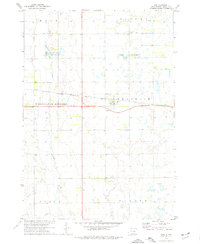
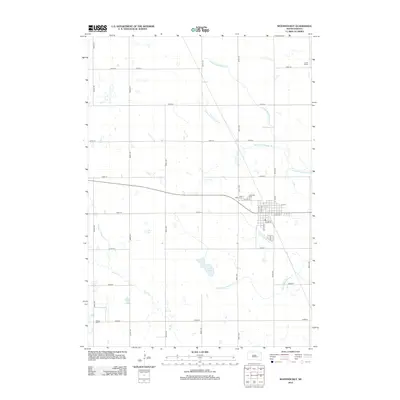
 1973 Woonsocket1976 Print · USGSWoonsocket and the surrounding Sanborn County prairie are captured here in the early seventies as a hub of rail transport and rural industry. Researchers can trace family history at St Wilfrid Cem or locate the Lynch Ranch and McCoy Lake hunting grounds.
 - 1973 Map of Lane, 1976 Print
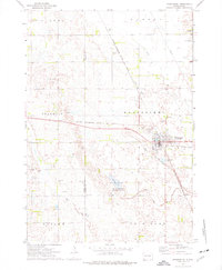
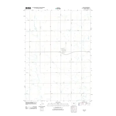
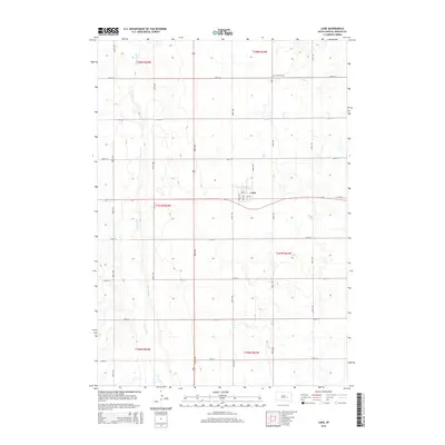
 1973 Lane1976 Print · USGSThe town of Lane and the surrounding Jerauld County prairie are captured here in the mid-1970s. Trace the path of the Chicago Milwaukee St Paul and Pacific railroad or locate family sites near Fairview Cem and Firesteel Creek.
 - 1979 Map of Fraser Dam, 1980 Print
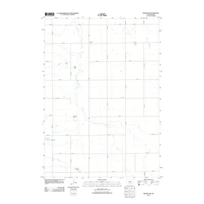
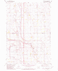 1979 Fraser Dam1980 Print · USGSAgricultural life in Jerauld and Aurora Counties is captured here in the late seventies as local townships managed the prairie landscape. Genealogists can locate family-named landmarks like Piersons Draw and community sites including Solberg Cem and Fraser Dam.
 - 1979 Map of Twin Lakes, 1980 Print
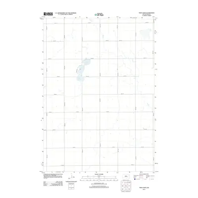
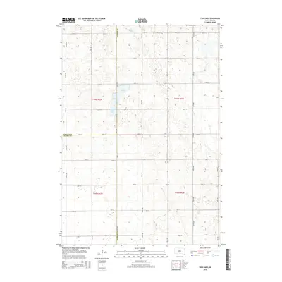
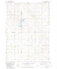 1979 Twin Lakes1980 Print · USGSSanborn County and its neighboring borderlands appear here in the late seventies, centered on the vital prairie waters of the James River Valley region. Researchers can locate rural landmarks like Belford Sch, Elliott Sch, and the Twin Lakes State Recreation Area.
 - 1985 Map of Huron, 1986 Print
 1985 Huron1986 Print · USGSThe James River valley and the city of Huron come into focus during the mid-eighties as centers of rail and prairie commerce. Genealogists and historians can trace communal sites like Riverside Colony and established rail towns from Wolsey to Woonsocket.2 unique versions available
 - 1986 Map of Mitchell
 1986 Mitchell1986 Print · USGSMitchell and the surrounding prairie towns are documented in the mid-1980s as the regional rail and agricultural network matured. Genealogists can locate specific sites like the State Training Sch, Aurora Center, and the Cedar Grove Colony.2 unique versions available
 - 1990 Map of Mitchell, 1991 Print
 1990 Mitchell1991 Print · USGSThe Missouri River and the surrounding South Dakota plains are captured here in the early nineties, showing a landscape shaped by water and wire. Genealogists and historians can trace the gridded townships from Mitchell to the Bijou Hills, locating sites like the Platte Colony and Academy.
 - 2012 Map of Lane, 2012 Print
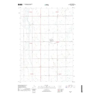
 2012 Lane2012 Print · USGSCovers Blaine Township, including Lane, Viola Township, and other nearby areas
 - 2012 Map of Woonsocket, 2012 Print
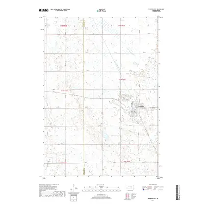
 2012 Woonsocket2012 Print · USGSCovers Blaine Township, including Woonsocket, Franklin Township, and other nearby areas
 - 2012 Map of Fraser Dam, 2012 Print
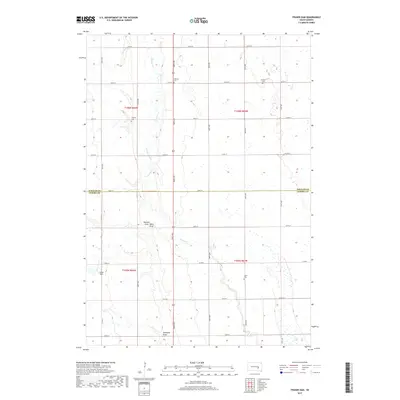
 2012 Fraser Dam2012 Print · USGSCovers Blaine Township, including Belford Township, Viola Township, and other nearby areas
 - 2012 Map of Twin Lakes, 2012 Print
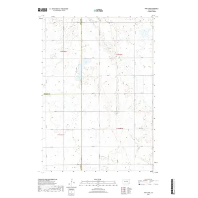
 2012 Twin Lakes2012 Print · USGSCovers Blaine Township, including Belford Township, Twin Lake Township, and other nearby areas
 - 2015 Map of Twin Lakes, 2015 Print
 2015 Twin Lakes2015 Print · USGSCovers Blaine Township, including Belford Township, Twin Lake Township, and other nearby areas
 - 2015 Map of Fraser Dam, 2015 Print
 2015 Fraser Dam2015 Print · USGSCovers Blaine Township, including Belford Township, Viola Township, and other nearby areas
 - 2015 Map of Woonsocket, 2015 Print
 2015 Woonsocket2015 Print · USGSCovers Blaine Township, including Woonsocket, Franklin Township, and other nearby areas
 - 2015 Map of Lane, 2015 Print
 2015 Lane2015 Print · USGSCovers Blaine Township, including Lane, Viola Township, and other nearby areas
 - 2017 Map of Twin Lakes, 2017 Print
 2017 Twin Lakes2017 Print · USGSCovers Blaine Township, including Belford Township, Twin Lake Township, and other nearby areas
 - 2017 Map of Lane, 2017 Print
 2017 Lane2017 Print · USGSCovers Blaine Township, including Lane, Viola Township, and other nearby areas
 - 2017 Map of Woonsocket, 2017 Print
 2017 Woonsocket2017 Print · USGSCovers Blaine Township, including Woonsocket, Franklin Township, and other nearby areas
 - 2017 Map of Fraser Dam, 2017 Print
 2017 Fraser Dam2017 Print · USGSCovers Blaine Township, including Belford Township, Viola Township, and other nearby areas
Showing maps 1-25 of 29
Top cities near Blaine Township
- Wessington Springs historical maps
- Woonsocket historical maps
- Alpena historical maps
- Lane historical maps
Frequently asked questions
- What are the different types of historical maps available for Blaine Township?
- What is the oldest map of Blaine Township?
- Where can I purchase historical maps of Blaine Township for my home or office?
- Where can I download high-res historical maps of Blaine Township?
- Are there historical topographic maps available for Blaine Township?
- Is there historical aerial imagery available for Blaine Township?
- Where are historical maps of Blaine Township sourced from?